
Mountain · Colombia
Sierra Nevada de Santa Marta
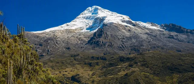
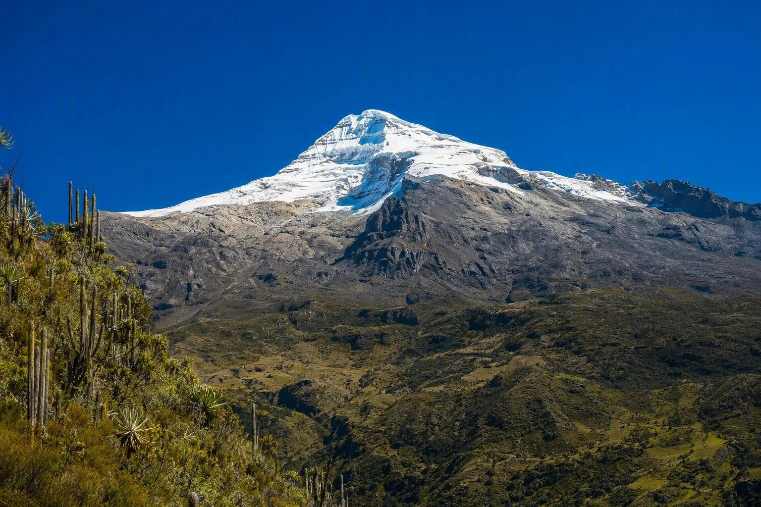
Sierra Nevada de Santa Marta is an isolated mountain massif in northern Colombia, spanning Magdalena, Cesar and La Guajira. It rises from the Caribbean lowlands to Colombia’s highest peaks, with ice, páramo and forest concentrated in one compact range.
The massif at a glance
Sierra Nevada de Santa Marta is not an outlying arm of the Andes but an independent mountain system on Colombia’s Caribbean side. Its central peaks, including Pico Cristóbal Colón and Pico Simón Bolívar, are listed at 5,775 metres. The sea is only about 42 km away, creating a rapid shift from coastal heat to high, cold terrain.
The range spans Magdalena, Cesar and La Guajira. It is a working water source as well as a mountain landscape: rivers rising here supply communities across all three departments.
What the landscape contains
Altitude is the organising principle. Lower slopes hold dry tropical forest, humid forest and cloud forest; higher ground changes to páramo, bare rock and small remaining glaciers. The glacier area was estimated at 4.84 km² in 2024, a sharp reduction from historic extent.
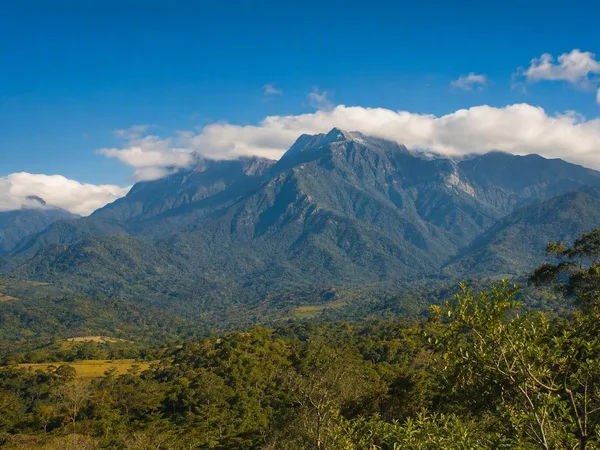
Look for the range as a whole rather than treating it as a single viewpoint. Its defining image is the steep, pyramidal massif behind the Caribbean coast, with forested flanks below the white high peaks.
A living cultural landscape
For the Kogui, Arhuaco, Wiwa and Kankuamo peoples, the Sierra is ancestral and sacred territory, also known as Chundua or Gonawindwa—“the Heart of the World.” Indigenous reserves overlap much of the protected mountain landscape.
That status is practical, not symbolic. Sacred places, settlements, rivers, lagoons and upper slopes are not open terrain for casual exploration. Keep to authorised routes and follow instructions from Indigenous authorities and park staff without debate.
Access and routes
Santa Marta is the main transport base for the western and northern foothills. One established approach to the San Lorenzo area follows the road via Minca, El Campano and Bellavista; the final section requires a four-wheel-drive vehicle. San Lorenzo is a useful highland access point and viewpoint, rather than a route to the central summits.
Teyuna, often called Ciudad Perdida, lies within the Sierra but is a separate archaeological destination. Its authorised approach starts at El Mamey near Guachaca and is undertaken with a guide. It should not be confused with general access to the massif.
Essential restrictions
Do not plan a summit trek. Tourism is prohibited in the Sierra’s high areas, including lagoons, páramo and snow-covered peaks, because of ecological fragility and cultural significance. This includes the central glacial landscape.
Choose permitted lower-slope or archaeological routes instead. Conditions and permissions are route-specific; an open access point does not grant access across the range. Carry water protection, rain gear and warm layers: the temperature shift with elevation is substantial.
From the magazine
Stories about Sierra Nevada de Santa Marta
Editorial stories linked directly to Sierra Nevada de Santa Marta.
No stories about Sierra Nevada de Santa Marta have been published yet.
Routes from our editors
Travel through Sierra Nevada de Santa Marta
Editorial routes connecting Sierra Nevada de Santa Marta with other countries, cities and hotspots.
No routes through Sierra Nevada de Santa Marta have been published yet.
More in Colombia
Related hotspots
Other cities, nature areas and places within Colombia.
Bogotá
1 linked stories and routes
Mercado de Paloquemao
1 linked stories and routes
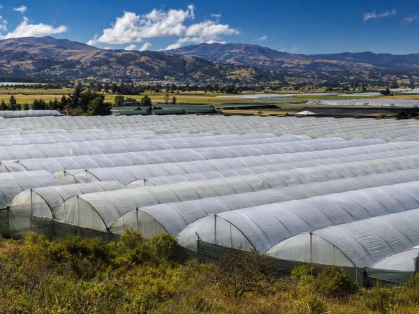
Sabana de Bogotá
1 linked stories and routes
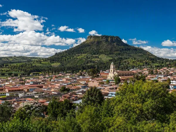
Cota, Cundinamarca
1 linked stories and routes
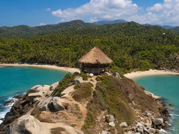
Cabo San Juan del Guía
1 linked stories and routes
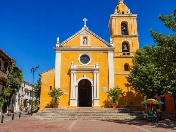
Plaza de la Trinidad, Cartagena
1 linked stories and routes
Cartagena
1 linked stories and routes
Tayrona National Natural Park
0 linked stories and routes
Línea Negra, Sierra Nevada de Santa Marta
0 linked stories and routes