
City · Colombia
Medellín
Medellín is the capital of Antioquia in northwestern Colombia, spread through the Aburrá Valley at 1,479 metres. Its metro, cable cars, public art and steep hillside neighbourhoods make the city’s terrain part of the visit.
Read the city
Medellín occupies a narrow Andean valley, with the Medellín River running south to north and built-up slopes rising on both sides. The city has 16 urban comunas and five rural corregimientos; it is not a compact, flat centre that can be covered on foot.
Plan days by area. La Candelaria is the central district for major civic and cultural sites. El Poblado and Laureles–Estadio are separate city districts with their own street patterns and pace. The hillsides are part of daily city life, not a backdrop.
Start with art and public space
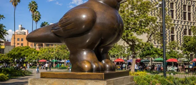
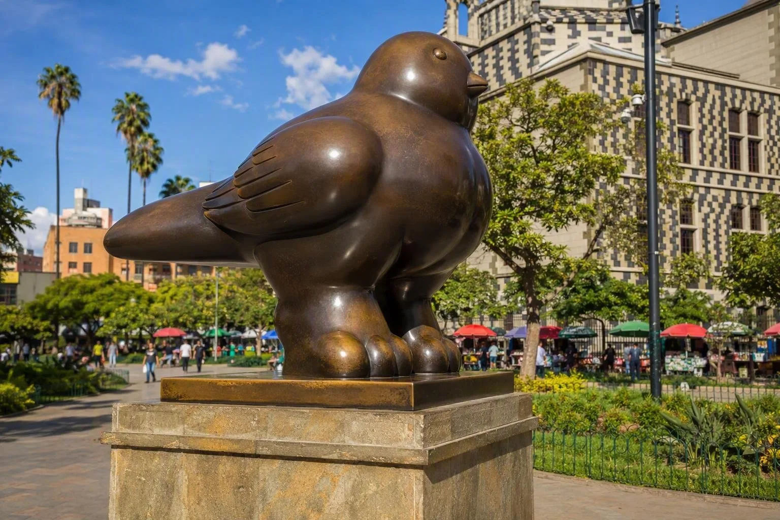
Begin in central Medellín at Plaza Botero, where 23 bronze sculptures by Medellín-born Fernando Botero stand outdoors beside the Museo de Antioquia. Pair the square with the museum rather than treating it as a quick photo stop; the adjacent Palacio de la Cultura Rafael Uribe Uribe makes the plaza one of the city’s clearest architectural ensembles.
For a second central stop, choose one of these:
- Jardín Botánico, for tropical planting and the timber Orquideorama canopy.
- Museo Casa de la Memoria, for Medellín and Antioquia’s recent conflict history.
- Cerro Nutibara and Pueblito Paisa, for a high viewpoint over the valley.
Hillsides: infrastructure and context
Take the Metro and Metrocable as working public transport, not merely sightseeing rides. The network combines rail, cable lines, tram and buses across the metropolitan area, making it useful for reaching districts separated by steep terrain.
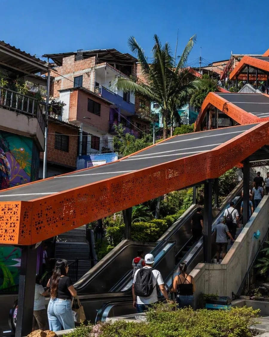
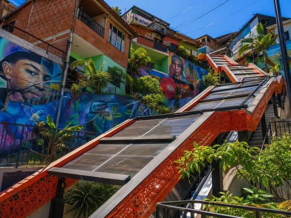
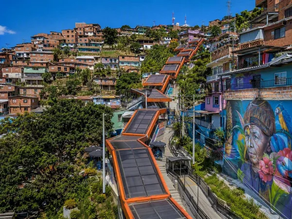
Comuna 13–San Javier merits time and attention. It is a collection of neighbourhoods on the western slopes, where murals and the outdoor escalators in Las Independencias sit alongside a difficult history of armed conflict, displacement and community organising. The escalators were built as pedestrian infrastructure. A locally led walk is the clearest way to understand the art and history without reducing a residential area to a spectacle.
For a contrasting landscape, ride via Acevedo and Santo Domingo to Parque Arví on Line L. The park lies in Santa Elena and extends into Guarne, with forest trails, archaeological elements and viewpoints. It is cooler and wetter than the valley; use proper walking shoes and take a layer.
Getting around and timing
Use the Metro for long valley-axis journeys, then connect by cable, tram, bus or taxi for the final stretch. Medellín’s topography makes apparently short road distances slow. Keep each day geographically focused and allow time for transfers.
The principal air gateway, José María Córdova International Airport, is in Rionegro rather than central Medellín. Build in road-transfer time on arrival and departure.
The average city temperature is about 24°C, but rain and conditions vary sharply with elevation. Carry light rain protection, especially for hillside walks and Parque Arví. In crowded places, keep phones and valuables secured and avoid treating residential neighbourhoods as open-air entertainment venues.
From the magazine
Stories about Medellín
Editorial stories linked directly to Medellín.
Routes from our editors
Travel through Medellín
Editorial routes connecting Medellín with other countries, cities and hotspots.
No routes through Medellín have been published yet.
More in Colombia
Related hotspots
Other cities, nature areas and places within Colombia.
Bogotá
3 linked stories and routes
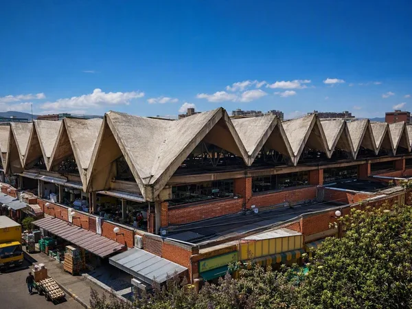
Mercado de Paloquemao
2 linked stories and routes

Sabana de Bogotá
1 linked stories and routes
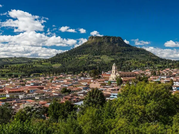
Cota, Cundinamarca
1 linked stories and routes
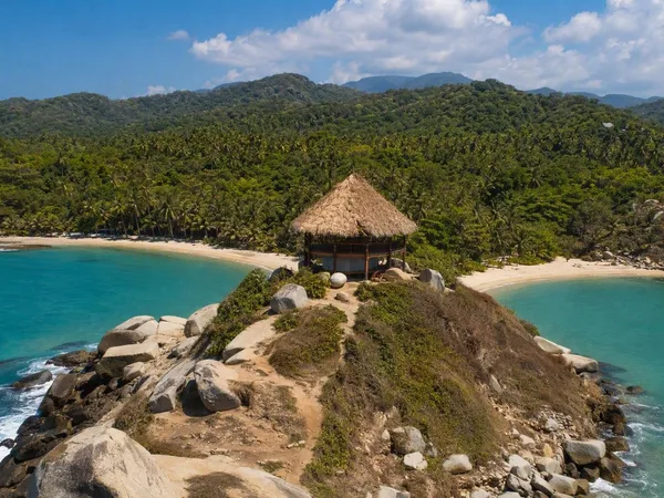
Cabo San Juan del Guía
1 linked stories and routes
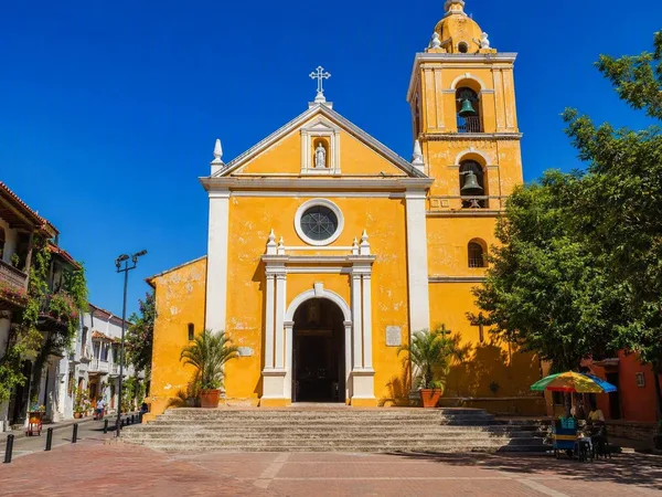
Plaza de la Trinidad, Cartagena
1 linked stories and routes
Cartagena
1 linked stories and routes
Comuna 13, Medellín
1 linked stories and routes
Las Independencias, Comuna 13
1 linked stories and routes
Veinte de Julio, Medellín
1 linked stories and routes
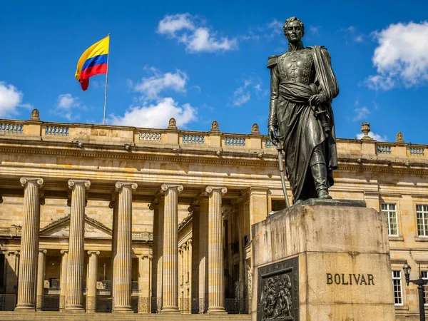
Plaza de Bolívar
1 linked stories and routes
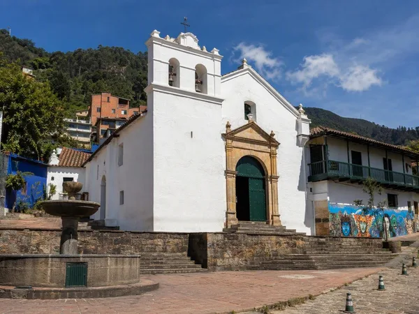
Chorro de Quevedo
1 linked stories and routes
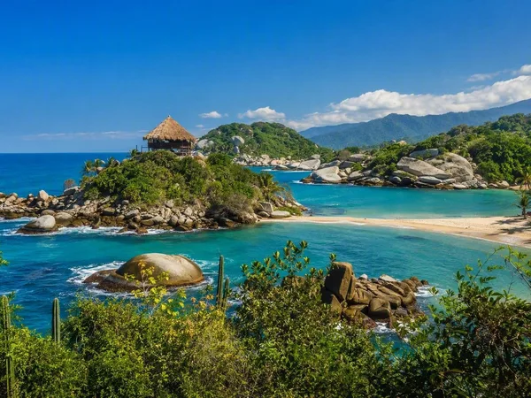
Tayrona National Natural Park
0 linked stories and routes
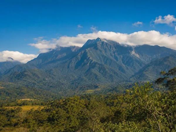
Línea Negra, Sierra Nevada de Santa Marta
0 linked stories and routes
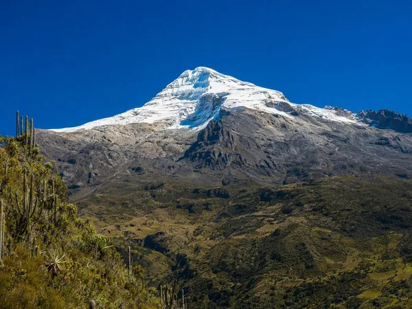
Sierra Nevada de Santa Marta
0 linked stories and routes