
City · Colombia
Bogotá
Bogotá is Colombia’s high-altitude capital, set on the eastern edge of the Bogotá savanna in the Andes. Its historic core, mountain viewpoints, museums and working markets make it a city best explored by district rather than in one sweep.
Get your bearings
Bogotá sits about 2,600 metres above sea level. The eastern hills are the city’s most useful landmark: they mark east, while carreras generally run north–south and calles east–west. Altitude can make the first day feel harder than expected; keep your arrival day light, drink water and save strenuous climbs for later.
The city is large. Treat La Candelaria, central Bogotá, Chapinero and the north as separate areas rather than trying to cross town repeatedly.
Start in La Candelaria
La Candelaria is the historic core, where colonial-era streets, government buildings, museums and cultural venues sit close together. Begin at Plaza de Bolívar, the civic square framed by the cathedral, the National Capitol and the city hall.
Build a walk around a few focused stops:
- Museo del Oro for pre-Hispanic goldwork and ritual objects.
- Museo Botero for works by Fernando Botero and his donated international collection.
- Casa de la Moneda and the surrounding old streets for a compact continuation.
- Chorro de Quevedo for the steeper, older-feeling upper streets.
Walk this area in daylight and keep phones and valuables out of sight in crowds. Use an app-booked car for late returns rather than walking long distances after dark.
Go up to Monserrate
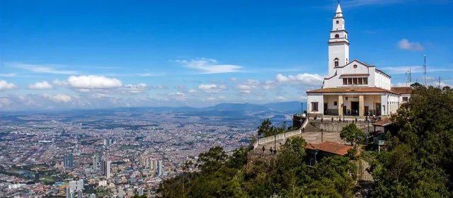
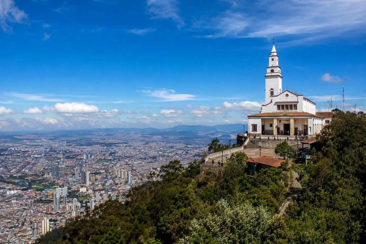
Monserrate is the defining viewpoint on Bogotá’s eastern edge. The hilltop sanctuary looks west over the city and savanna; reach it by funicular or cable car. Go early when conditions are clear, as cloud can close the view quickly.
The summit is higher than the city itself, so take the ascent calmly if you have just arrived. The funicular and cable car make more sense than turning the visit into a first-day hike.
Markets, food and neighbourhoods
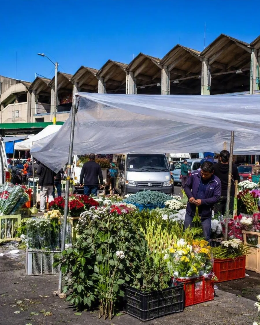
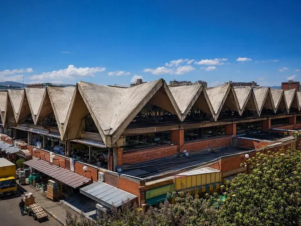
For a working-market morning, head to Paloquemao, where produce, flowers and prepared food show the city’s supply networks at ground level. Try ajiaco santafereño, the local chicken, potato and corn soup, in the historic centre or nearby traditional restaurants.
For restaurants and cafés, look north to Chapinero. Usaquén, farther north, retains a smaller historic centre and is a practical Sunday stop when its market is active.
Moving around
El Dorado is Bogotá’s main airport. Within the city, use TransMilenio and the wider public-transport network for longer corridors; buy the required fare card before entering the system. Stations and vehicles can be crowded, especially at peak times.
La Candelaria works on foot. For journeys between districts, allow more time than the map suggests: Bogotá traffic and the city’s scale shape every itinerary.
From the magazine
Stories about Bogotá
Editorial stories linked directly to Bogotá.
Routes from our editors
Travel through Bogotá
Editorial routes connecting Bogotá with other countries, cities and hotspots.
No routes through Bogotá have been published yet.
More in Colombia
Related hotspots
Other cities, nature areas and places within Colombia.
Mercado de Paloquemao
1 linked stories and routes
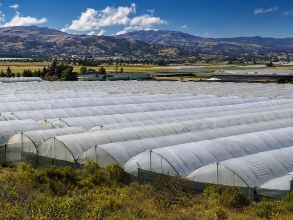
Sabana de Bogotá
1 linked stories and routes
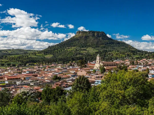
Cota, Cundinamarca
1 linked stories and routes
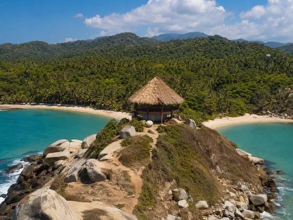
Cabo San Juan del Guía
1 linked stories and routes
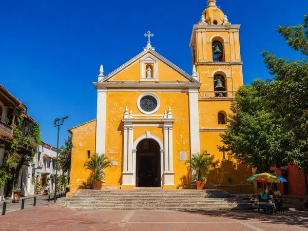
Plaza de la Trinidad, Cartagena
1 linked stories and routes
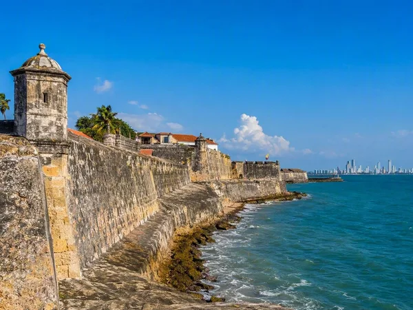
Cartagena
1 linked stories and routes
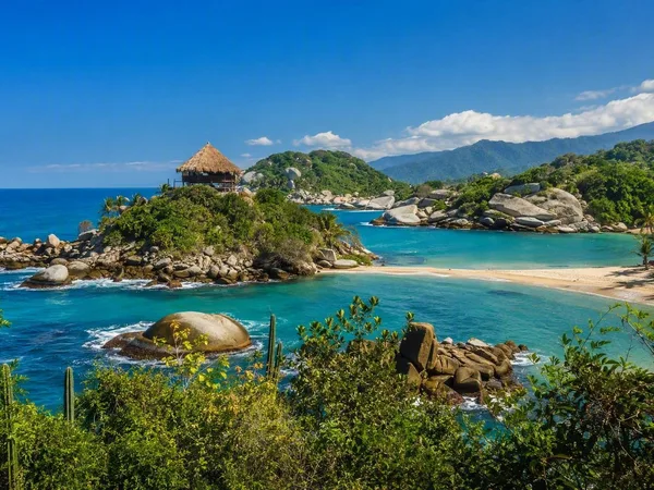
Tayrona National Natural Park
0 linked stories and routes
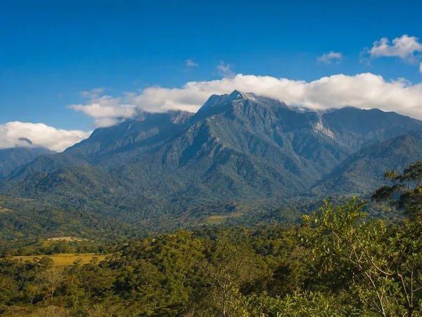
Línea Negra, Sierra Nevada de Santa Marta
0 linked stories and routes
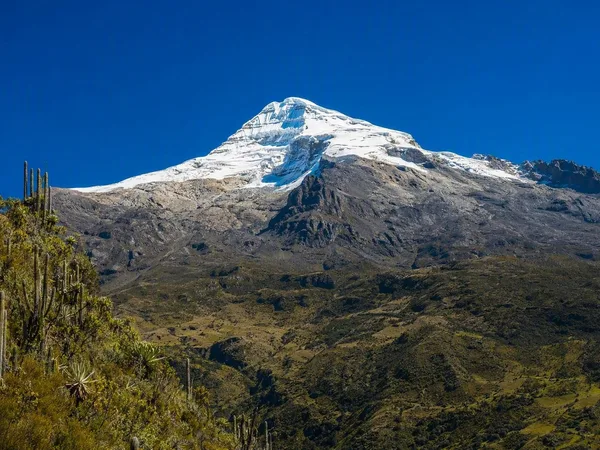
Sierra Nevada de Santa Marta
0 linked stories and routes