
Town · Colombia
Cota, Cundinamarca
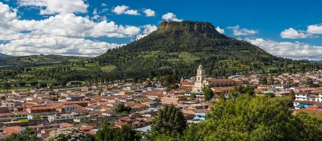
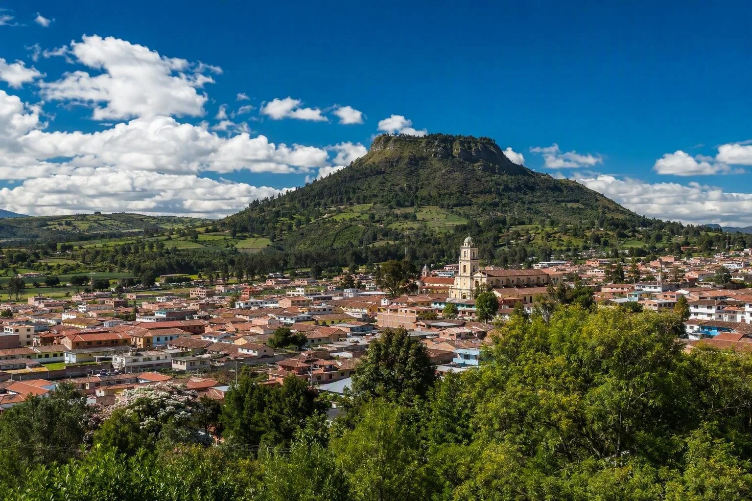
Cota is a high-altitude town and municipality on the Bogotá savanna, 26 km northwest of Bogotá. Its compact centre, flower-growing countryside and the Muisca landscape of Cerro del Majuy make it a useful short detour from the capital.
Orientation
Cota sits at 2,566 metres on the Bogotá savanna, between Chía to the north, Funza to the south, Tenjo to the west and Bogotá’s Suba district to the east. The town is small, but its municipality spreads across rural veredas, productive farmland and industrial areas.
This is not a colonial showpiece. Come for a working savanna town where agriculture, Muisca heritage and the capital’s outer edge meet. Flowers, vegetables and fruit are important local crops; Cota is part of the production landscape that supplies Bogotá’s flower trade as well as export farms.
Start in the centre
Make the Parque Principal Luis Carlos Galán Sarmiento your first stop. The unusual multi-sided plaza dates from the 1871–73 relocation of the town centre from Pueblo Viejo to what was then Tres Esquinas. Streets radiate from it, making it the practical point for finding food, taxis and local orientation.
Look around the park for the town’s civic and cultural buildings, then step into the Santuario Mariano Nuestra Señora del Rosario de Cota, on the west side. The municipal tourism office is also by the park, useful for current local guides and the practicalities of visiting the surrounding countryside.
Cerro del Majuy and Muisca territory
Cerro del Majuy is the defining ridge above Cota. Its slopes include the Mhuysqa Indigenous Reserve, an ancestral and sacred landscape rather than an open-air attraction. It is the municipality’s key nature and cultural site, with the ridge providing broad views over the town and savanna.
Treat this as living Indigenous territory. Do not enter private or reserve land uninvited, leave trails and natural features undisturbed, and use local guidance where access is offered. The municipal tourism map lists the reserve and professional local guides; that is the right route for an informed visit rather than assuming any path is public.
Getting there and around
Cota is about 26 km northwest of Bogotá. Road approaches come via Calle 80 and Siberia, or via the La Conejera/Calle 170 side of Bogotá. Buses marked for Cota run from these Bogotá corridors to the town centre; taxis or local transport cover the short onward distances to rural sites.
- By car: Expect Bogotá-edge traffic, especially at commuting times. Rural roads and the Cota–Siberia corridor are best treated as driving routes, not pedestrian promenades.
- On foot: The central park and its immediate streets are walkable. The municipality is not compact enough to explore its rural attractions solely on foot.
- Altitude: Days can feel mild, but temperatures drop quickly after rain and in the evening. Carry a warm layer and rain protection.
Time it well
Give Cota a half-day for the centre and a meal, or a full day if you have arranged a Majuy-area or rural visit. Sunday is the traditional market day, when the town centre has its strongest local rhythm. Avoid treating flower farms as visitor attractions: they are working agricultural properties, and entry requires permission.
From the magazine
Stories about Cota, Cundinamarca
Editorial stories linked directly to Cota, Cundinamarca.
Routes from our editors
Travel through Cota, Cundinamarca
Editorial routes connecting Cota, Cundinamarca with other countries, cities and hotspots.
No routes through Cota, Cundinamarca have been published yet.
More in Colombia
Related hotspots
Other cities, nature areas and places within Colombia.
Bogotá
1 linked stories and routes
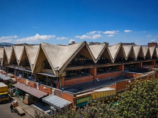
Mercado de Paloquemao
1 linked stories and routes
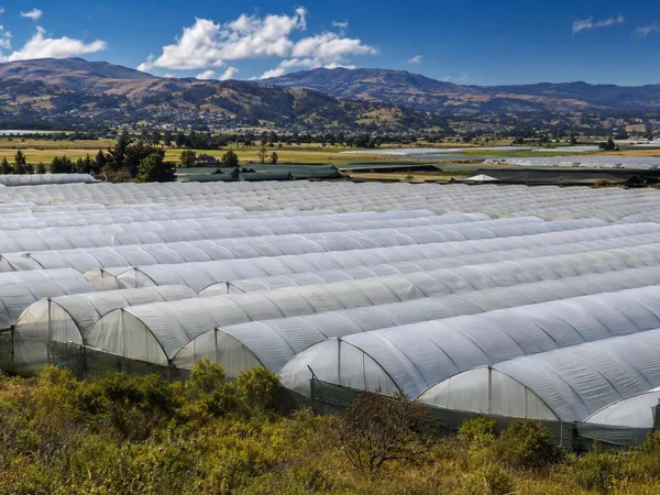
Sabana de Bogotá
1 linked stories and routes
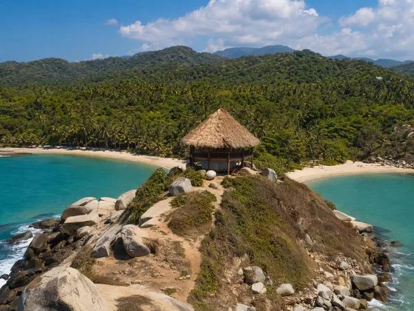
Cabo San Juan del Guía
1 linked stories and routes
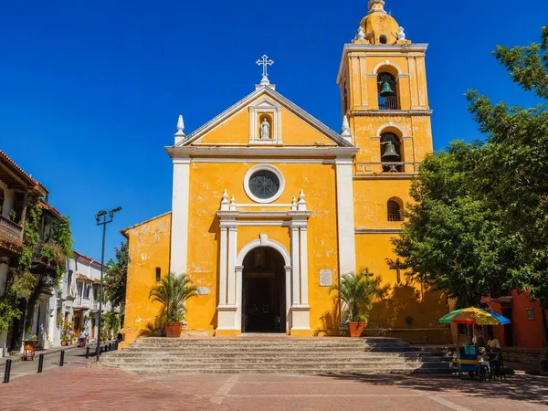
Plaza de la Trinidad, Cartagena
1 linked stories and routes
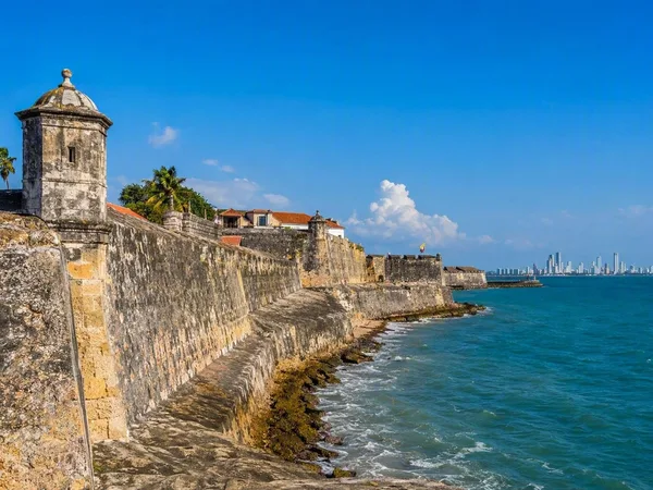
Cartagena
1 linked stories and routes
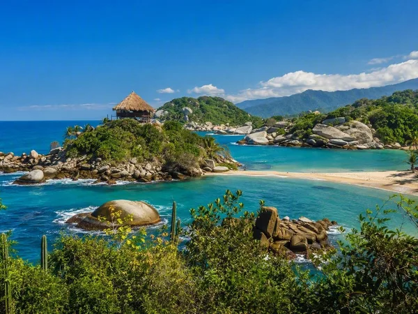
Tayrona National Natural Park
0 linked stories and routes
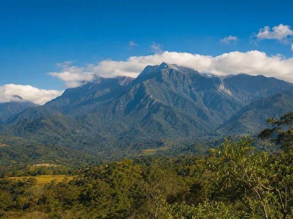
Línea Negra, Sierra Nevada de Santa Marta
0 linked stories and routes
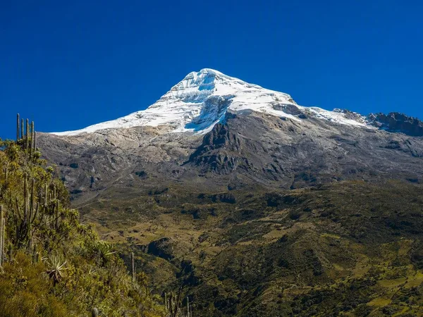
Sierra Nevada de Santa Marta
0 linked stories and routes