
National park · Colombia
Tayrona National Natural Park
Tayrona is a protected Caribbean coastal park in Magdalena, northeast of Santa Marta, where the Sierra Nevada foothills meet beaches, coral formations, mangroves and forest.
The landscape
Tayrona is not one beach but a long, protected land-and-sea mosaic on Colombia’s Caribbean coast. Dry forest, humid forest and cloud forest meet rocky shore, sandy bays, coastal lagoons, mangroves, seagrass and coral formations. The scale matters: choose one sector for the day rather than trying to cross the park.
The best-known eastern route runs from the Zaino side through Cañaveral and Arrecifes toward La Piscina and Cabo San Juan del Guía. In the west, Palangana serves Neguanje, Gayraca and Playa Cristal; Bahía Concha is closer to Santa Marta. Calabazo is the alternative land approach for longer hikes.
Pick the right coast
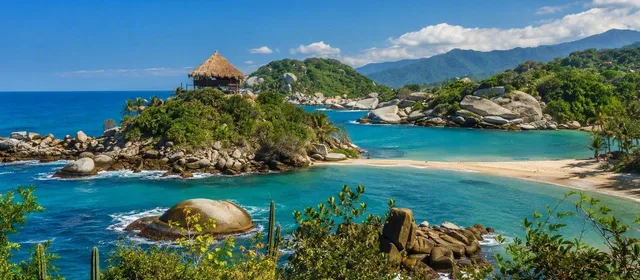
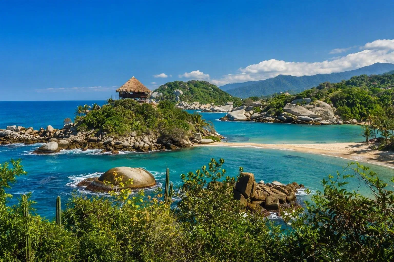
Cabo San Juan del Guía is Tayrona’s signature stop: a rocky headland separates two bays, and a small hammock hut stands above the rocks. It is reached on foot through forest or by authorised boat when marine conditions permit.
La Piscina is a sheltered marine pool behind rocks and a practical swimming stop on the coastal route. Arrecifes is for the shoreline and forest walk, not a casual swim: only enter the sea where bathing is explicitly authorised. In other sectors, Playa Cristal, Neguanje and Bahía Concha offer different day-trip formats.
Access and movement
Santa Marta is the practical base. Land entrances include Zaino, Calabazo, Palangana and Bahía Concha; boats also operate from Santa Marta, El Rodadero and Taganga to authorised marine sectors. Entry arrangements, sector availability and sea access can change, so select the entrance around the beach or trail you actually intend to use.
The classic walking routes are hot, humid and uneven. Carry water, sun protection, insect repellent and footwear with grip. Start early enough to leave a generous return buffer; park entry and exit hours vary by sector.
Rules that shape a visit
Tayrona is part of the Línea Negra, ancestral territory of the Kogui, Wiwa, Arhuaco and Kankuamo peoples. Sacred places are not sightseeing stops. Stay on marked paths, respect restricted areas and do not photograph people without permission.
Ecotourism pauses three times each year for ecological recovery and Indigenous cultural and spiritual practices. Admission requires the applicable entry process and visitor accident insurance. Single-use plastics, pets, speakers and unauthorised drones are prohibited. Do not remove plants, animals, shells or other natural material, and use only authorised swimming areas; flags and ranger instructions override the appearance of the water.
From the magazine
Stories about Tayrona National Natural Park
Editorial stories linked directly to Tayrona National Natural Park.
No stories about Tayrona National Natural Park have been published yet.
Routes from our editors
Travel through Tayrona National Natural Park
Editorial routes connecting Tayrona National Natural Park with other countries, cities and hotspots.
No routes through Tayrona National Natural Park have been published yet.
More in Colombia
Related hotspots
Other cities, nature areas and places within Colombia.
Bogotá
1 linked stories and routes

Mercado de Paloquemao
1 linked stories and routes

Sabana de Bogotá
1 linked stories and routes
Cota, Cundinamarca
1 linked stories and routes
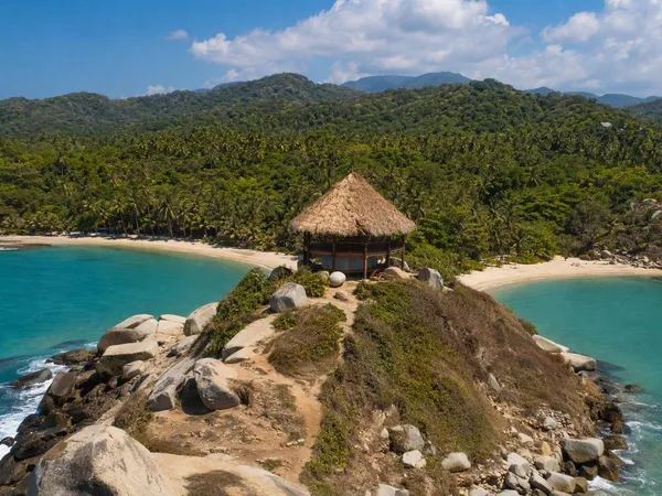
Cabo San Juan del Guía
1 linked stories and routes
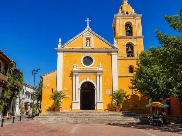
Plaza de la Trinidad, Cartagena
1 linked stories and routes
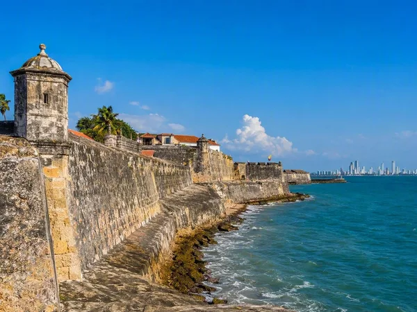
Cartagena
1 linked stories and routes
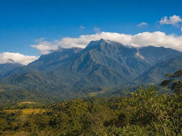
Línea Negra, Sierra Nevada de Santa Marta
0 linked stories and routes
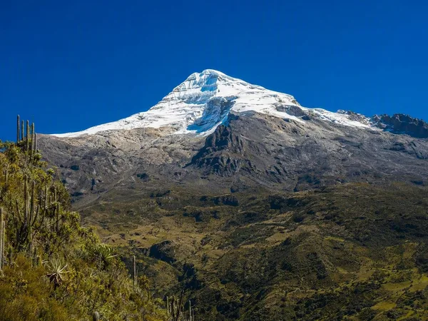
Sierra Nevada de Santa Marta
0 linked stories and routes