
National park · United Kingdom
Exmoor National Park
Exmoor is a moorland-and-coast national park in west Somerset and north Devon, south-west England. Its open uplands and low light pollution make it a serious destination for walking and dark-sky viewing.
Why Exmoor matters
Exmoor has been a national park since 1954. Its compact landscape moves quickly between high, open moor, wooded river valleys and the Bristol Channel coast. The key draw after dark is the sky: Exmoor became Europe’s first International Dark Sky Reserve in 2011.
The moor is not one single viewpoint. Treat it as a network of roads, rights of way and access land, with villages and farms threaded between the open ground. For a first visit, choose one area rather than trying to cross the whole park in a day.
Dark skies and viewpoints
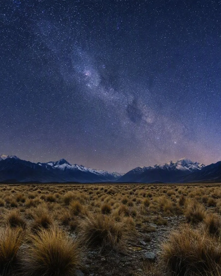
On a clear, moonless night, the Milky Way and thousands of stars can be visible without optical aid. The most useful places are established observation areas with room to stop safely:
- Brendon Common/Two Gates: broad, unobstructed 360-degree views; roadside parking areas but no facilities.
- Porlock Common: a particularly dark site with open southern and western views.
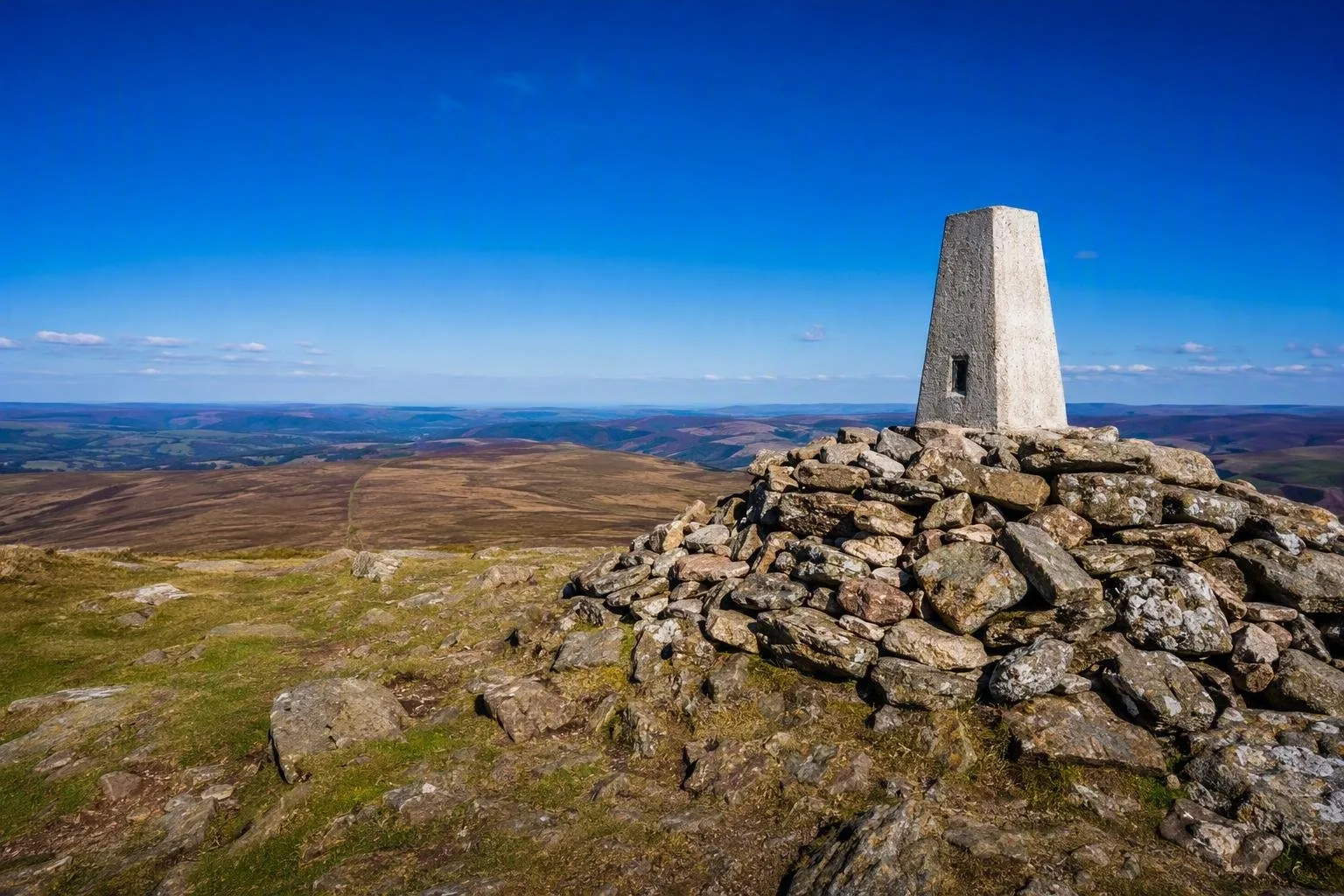
- Dunkery Beacon: Exmoor’s highest point, with a wide horizon; reach the summit on foot rather than expecting to park at the top.
- Haddon Hill: open views, parking and public toilets.
For a signed introduction, use the Dark Sky Discovery Trail from the lay-by at Larkbarrow Corner. It is a mostly level 3.2-kilometre out-and-back route to the ruins of Larkbarrow Farm; allow about 1.5 hours including time to observe. Parking at the start is limited.
Daylight routes and landscape
The same open ground works well in daylight. Public footpaths and bridleways cross the park, while large areas of moorland are mapped as access land for walking. Access rights do not apply automatically to enclosed fields, farmyards, cycling or camping.
Dunkery Beacon is the obvious high-moor objective. For a different texture, follow a valley route around Tarr Steps, whose stone clapper bridge spans the River Barle, or head to the coast around the Valley of Rocks for cliffs and sea views.
Getting in and around
A car is the practical choice for reaching remote viewpoints and starting walks. There is no mainline railway within the national park. Rail users can connect from Taunton, Tiverton Parkway or Barnstaple, then use buses or a pre-arranged taxi; rural services do not cover every moorland location.
Country lanes are narrow, often unlit and shared with livestock. Drive slowly after dark, use designated parking, and never block a gateway or passing place. Park entry itself is free and there are no gates or closing hours, but individual car parks have their own conditions and charges.
Night and access essentials
Pick a dry, cloudless night with little or no moonlight. Bring warm, waterproof layers, sturdy footwear, a charged phone and a red light rather than a bright white torch. Keep noise and lights low around homes, livestock and wildlife.
Between May and September, cattle may be on the Dark Sky Discovery Trail; give them space, especially when calves are present. Camping is only permitted at designated sites. On access land, temporary restrictions can apply for land management, safety, fire prevention or conservation.
From the magazine
Stories about Exmoor National Park
Editorial stories linked directly to Exmoor National Park.
Routes from our editors
Travel through Exmoor National Park
Editorial routes connecting Exmoor National Park with other countries, cities and hotspots.
No routes through Exmoor National Park have been published yet.
More in United Kingdom
Related hotspots
Other cities, nature areas and places within United Kingdom.
Glasgow
1 linked stories and routes
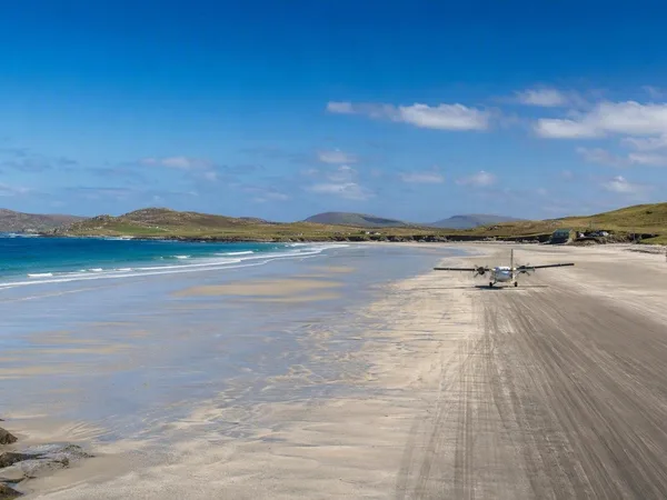
Outer Hebrides
1 linked stories and routes
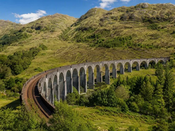
West Highland Line
1 linked stories and routes
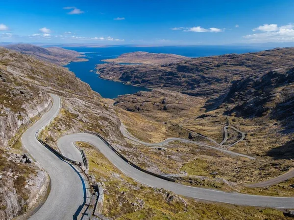
North Coast 500
1 linked stories and routes
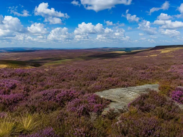
North York Moors National Park
1 linked stories and routes
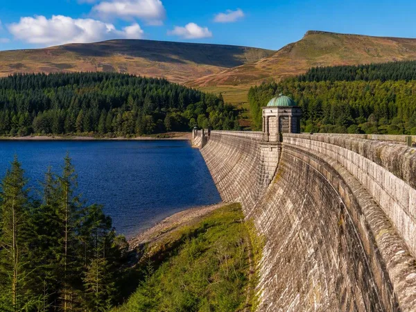
Bannau Brycheiniog National Park (Brecon Beacons)
1 linked stories and routes
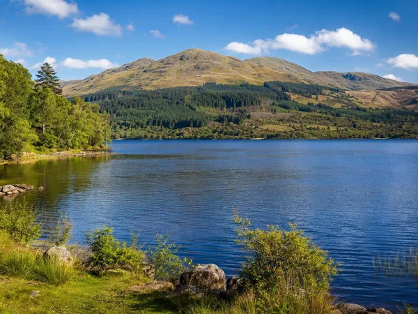
Galloway, Scotland
1 linked stories and routes
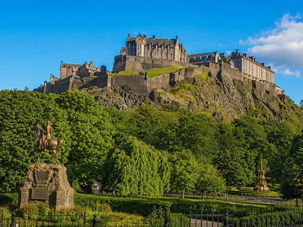
Edinburgh
1 linked stories and routes
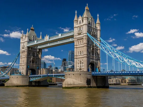
Tower Bridge
1 linked stories and routes
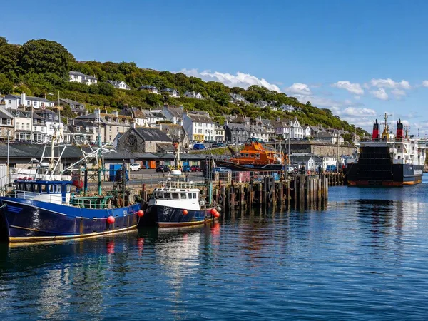
Mallaig
0 linked stories and routes