
Nature area · United Kingdom
Thames
The Thames is southern England’s principal river, running from the Cotswolds through London to the North Sea. In central London, its tidal reach is both a working waterway and a practical route between riverside districts.
Get your bearings
The Thames runs about 215 miles (346 km) from its traditional source at Thames Head near Kemble to the North Sea. It changes character repeatedly: a narrow upper river through the Cotswolds and Thames Valley, a broad tidal waterway through London, then an estuary east of the capital.
For a London visit, the useful dividing line is Teddington Lock. Above it, the river is non-tidal and controlled by locks and weirs. Below it, the Tideway rises and falls with the sea. Central London sits firmly on this tidal reach.
Read the river in London
London developed here because ships could reach a place narrow enough to bridge. Roman Londinium stood beside the Thames near today’s City, and the river remained its commercial route long after roads and railways arrived.
The most legible central stretch runs from Westminster to Greenwich.
- Westminster to Blackfriars: Parliament, the London Eye, Embankment and the theatre district line the river.
- Bankside and London Bridge: Tate Modern occupies the former Bankside Power Station; Shakespeare’s Globe and Borough Market are nearby.
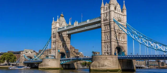
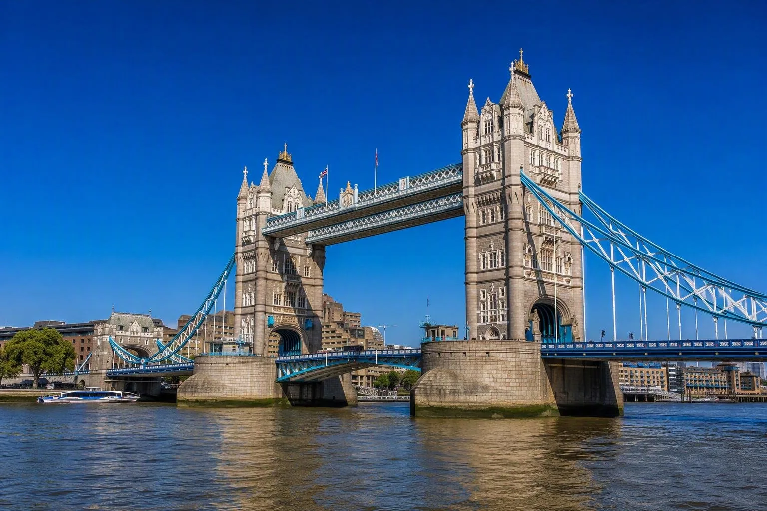
- Tower to Greenwich: Tower Bridge, former docks, Canary Wharf and the Old Royal Naval College show the shift from historic port to Docklands and naval Greenwich.
A walk on either bank works well for close detail; a boat shows the sequence of bridges, wharves and river bends that streets conceal.
Use the River Bus
Uber Boat by Thames Clippers is scheduled public transport, not a circular sightseeing cruise. Its services call at 24 piers between Putney and Barking Riverside, with routes divided into West, Central and East zones.
For a compact river journey, travel between Westminster, Bankside, Tower and Greenwich. Tower to Greenwich takes roughly 23 minutes. Use contactless or Oyster by touching in before boarding and out at the end; River Bus journeys do not count toward daily fare capping. Tickets must cover every zone crossed.
Boats have covered cabins, and most have an outside stern deck. Bicycles are permitted, while dogs must be kept on a lead. Most boats and piers are step-free, but Cadogan, London Bridge City and Wandsworth Riverside Quarter piers are exceptions.
Tides, banks and safety
The central Thames is not an urban lake. Tides expose sections of foreshore, alter pier-ramp gradients and create strong streams. Passenger vessels, tugs, freight craft and service boats use the same channel.
Do not enter the water or walk onto the foreshore casually. The tidal river has changing depths, mud, debris and vessel traffic. For boating, paddling or sailing, treat it as a regulated commercial waterway: plan for tides and traffic, use the designated channel and obey bridge signals and temporary closures.
Choose a useful moment
Daylight gives the clearest view of buildings and bridge structure. The open deck is exposed to wind and spray, especially on faster eastbound stretches. For walking, time a central-bank route around low tide if you want to see the foreshore from above, but stay on the embankment unless you have planned a permitted, tide-aware visit.
The river is most effective as a connector: pair a boat ride with one bank-side district rather than trying to cover its full length in one day.
From the magazine
Stories about Thames
Editorial stories linked directly to Thames.
No stories about Thames have been published yet.
Routes from our editors
Travel through Thames
Editorial routes connecting Thames with other countries, cities and hotspots.
No routes through Thames have been published yet.
More in United Kingdom
Related hotspots
Other cities, nature areas and places within United Kingdom.
Glasgow
2 linked stories and routes
Tower Bridge
2 linked stories and routes
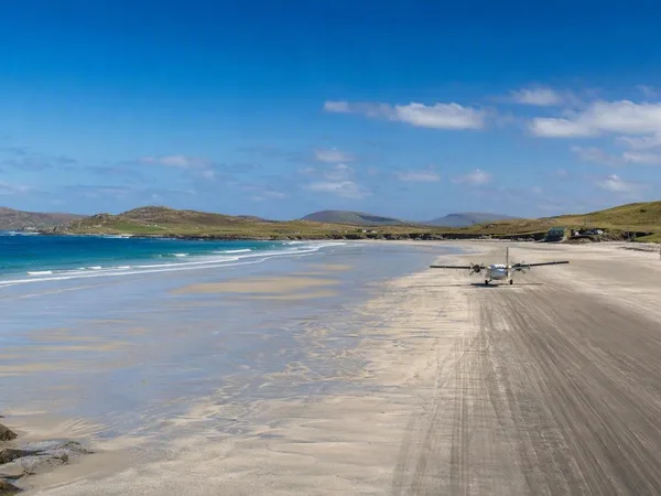
Outer Hebrides
1 linked stories and routes
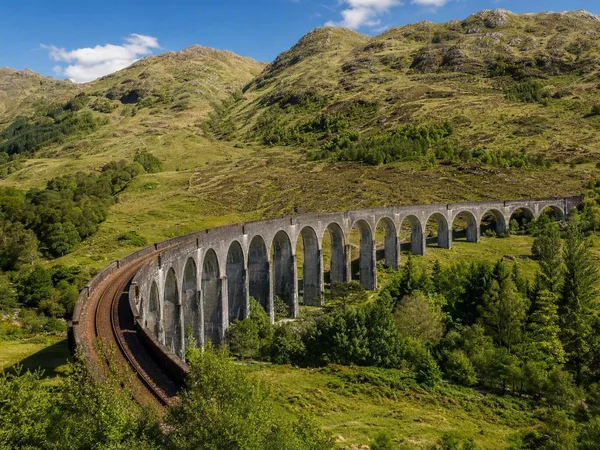
West Highland Line
1 linked stories and routes
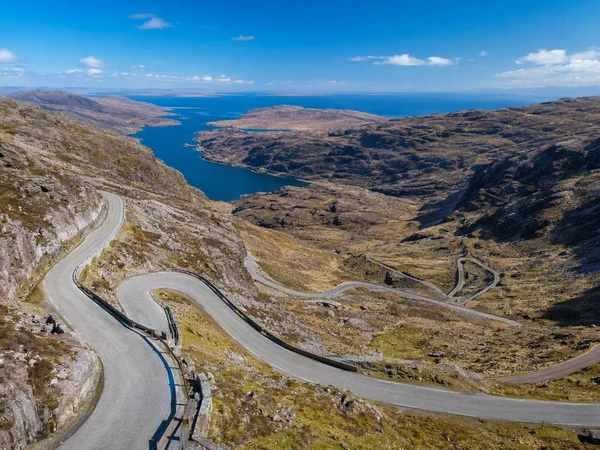
North Coast 500
1 linked stories and routes
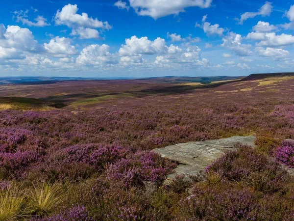
North York Moors National Park
1 linked stories and routes
Exmoor National Park
1 linked stories and routes
Bannau Brycheiniog National Park (Brecon Beacons)
1 linked stories and routes
Galloway, Scotland
1 linked stories and routes
Edinburgh
1 linked stories and routes
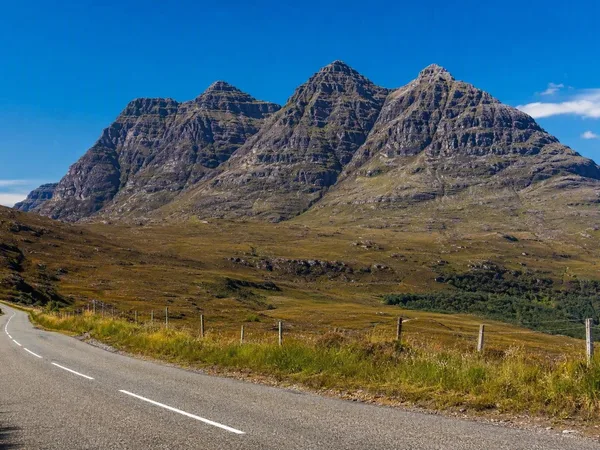
Wester Ross
1 linked stories and routes
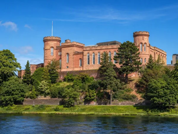
Inverness
1 linked stories and routes
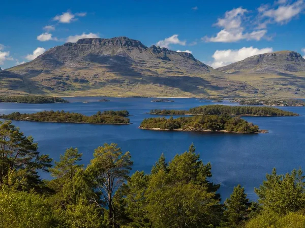
Loch Maree
1 linked stories and routes
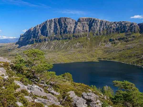
Beinn Eighe
1 linked stories and routes
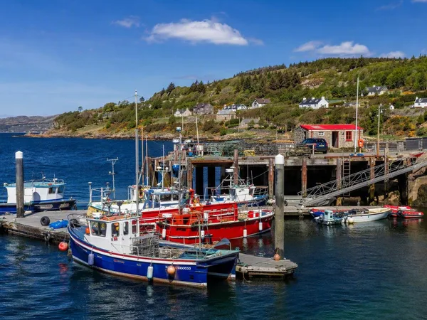
Gairloch
1 linked stories and routes
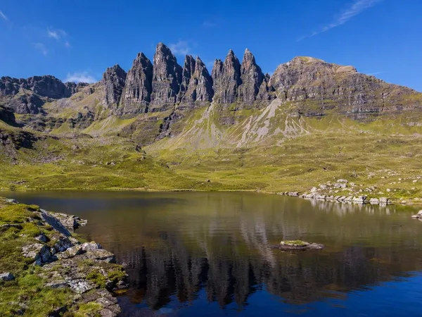
An Teallach
1 linked stories and routes
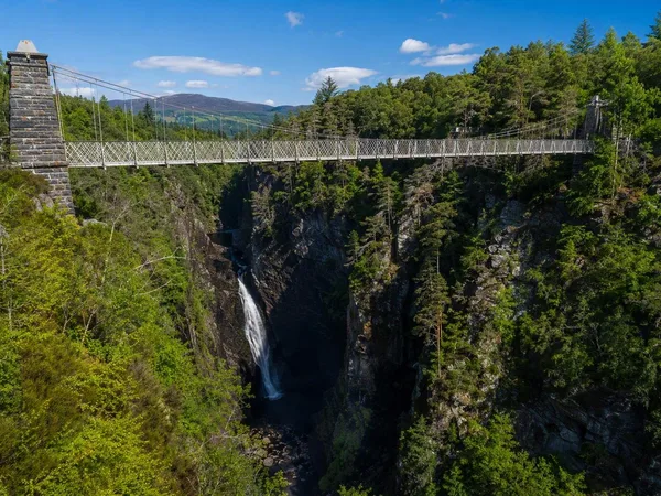
Corrieshalloch Gorge
1 linked stories and routes
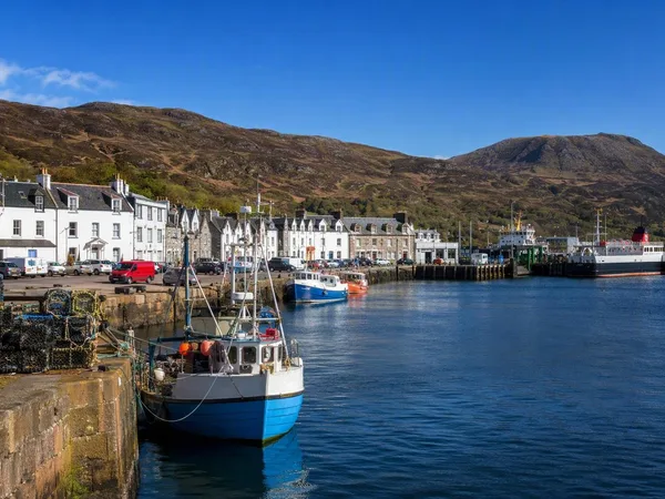
Ullapool
1 linked stories and routes
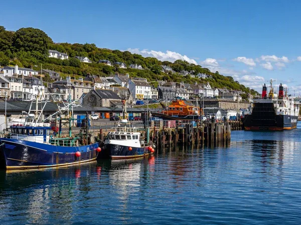
Mallaig
0 linked stories and routes