
Region · United Kingdom
Galloway, Scotland
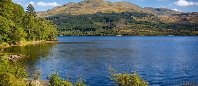
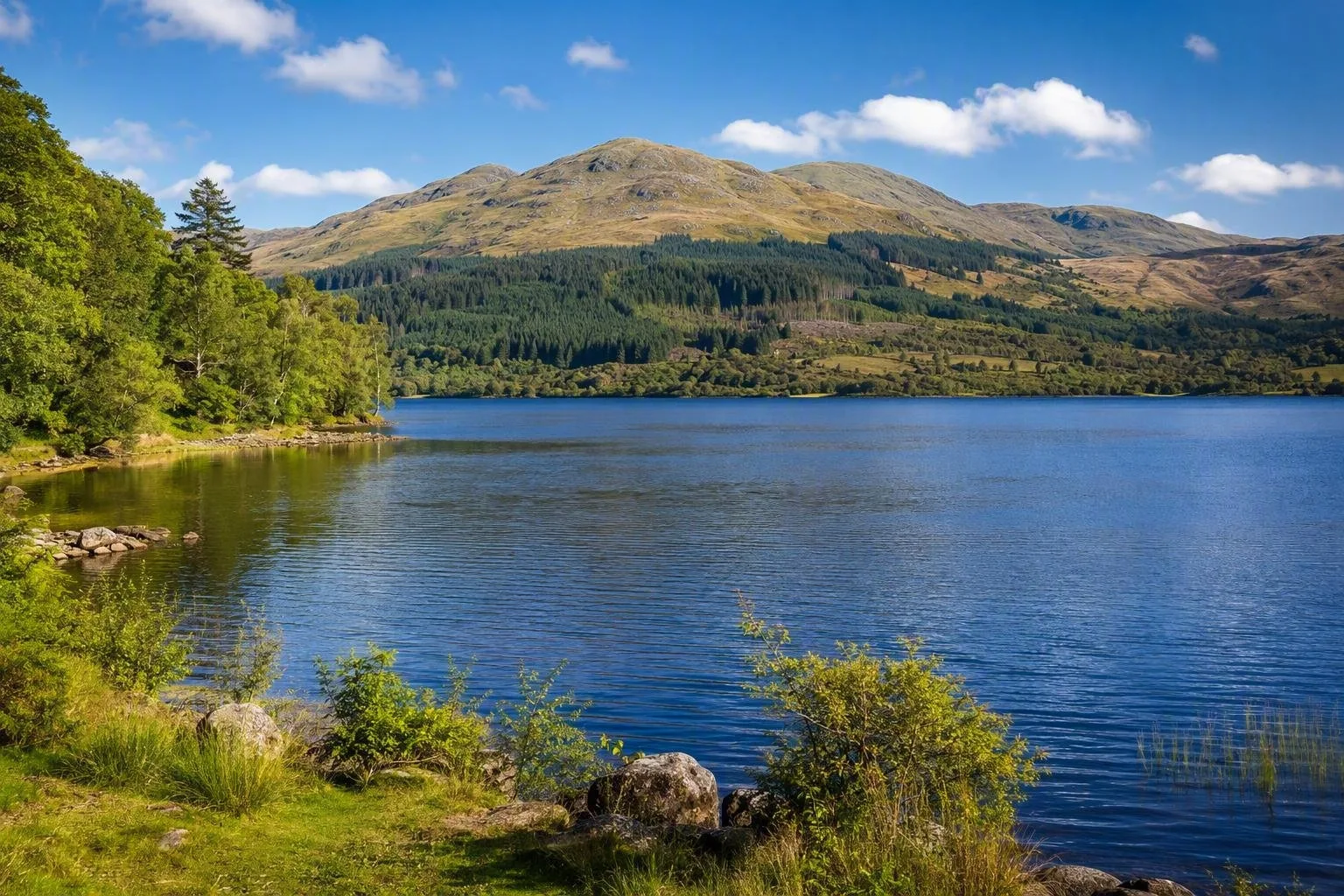
Galloway is a historic region in south-west Scotland, centred on a broad sweep of hills, lochs and woodland. Its inland core includes Galloway Forest Park, the UK’s first International Dark Sky Park.
The lay of the land
Galloway covers the old counties of Wigtownshire and Kirkcudbrightshire in south-west Scotland. For the region’s defining inland landscape, head to Galloway Forest Park: a vast mosaic of 16 forests, lochs, moorland and hill country in Dumfries and Galloway.
This is not a single town-based attraction. Distances are substantial, roads are rural, and the forest is the practical centre for walking, cycling and night-sky viewing. A car and an overnight base are the sensible setup.
The dark-sky core
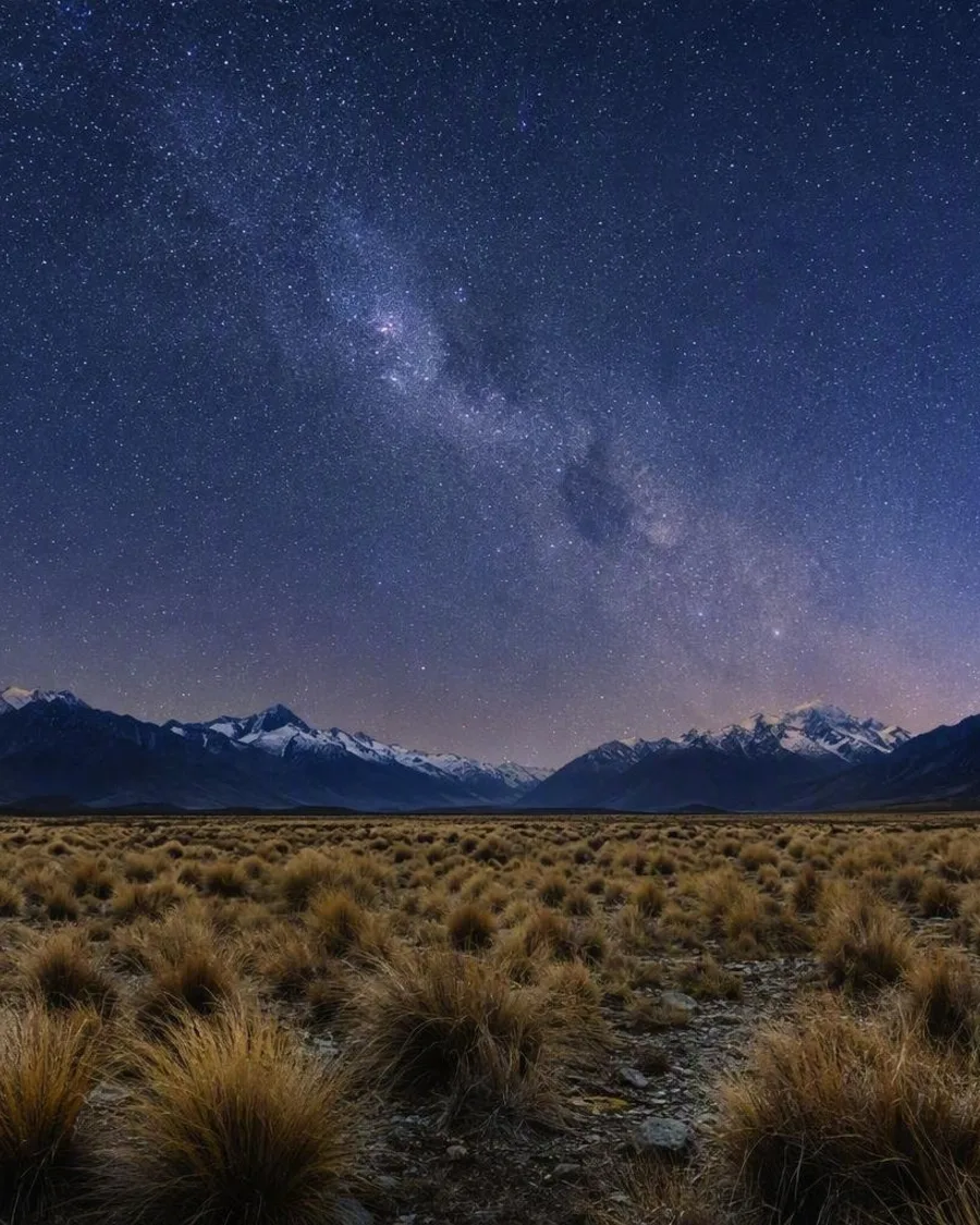
Galloway Forest Park became an International Dark Sky Park in 2009 and holds Gold Tier status. Its remoteness and deliberately restrained lighting make it the region’s major after-dark draw. On a clear night, the Milky Way can be visible to the naked eye.
For a first visit, use established viewing areas rather than improvising on forest tracks:
- Clatteringshaws Loch: lochside setting on the A712 Queen’s Way, with roadside pull-ins and a short, 1.6km Bruce’s Stone Trail.
- Glentrool: a useful day-and-night base around Loch Trool, beneath Merrick; it also has trails, parking and facilities.
- Kirroughtree: a visitor hub with information for identifying constellations and planets.
- Stroan Loch: another recognised place for night-sky viewing.
Daylight routes and landmarks
Keep the daytime plan compact. At Clatteringshaws, follow the shore path to Bruce’s Stone, a granite marker associated with Robert the Bruce, and look across the loch towards the Galloway Hills. At Glentrool, short paths run beside the Waters of Minnoch and Trool; longer routes lead towards Loch Trool and the hills.
Merrick, above Glentrool, is the highest summit in southern Scotland. Treat it as a proper hill day, not an add-on to an evening of stargazing. Forest routes range from short lochside walks to mountain-bike trails, including the 7stanes centre at Glentrool.
Timing the sky
Aim for a clear, moonless night. New-moon periods reveal the greatest number of stars; autumn and winter provide the longest useful dark hours. Summer twilight is prolonged this far north, so darkness comes late and never has the same depth.
Arrive before dark, identify the car park and path, then allow about 30 minutes for your eyes to adjust. A red-light torch protects night vision; white torches, bright phone screens and headlights spoil it for everyone nearby.
Access and night discipline
The A712 links New Galloway and Newton Stewart through the forest and passes Clatteringshaws. Glentrool is reached by a signed turn from the minor road north of Glentrool village. Parking and facilities vary by site, and some car parks charge.
After dark, stay on established ground, park only in designated spaces and keep clear of gates and road entrances. Paths, loch edges and forest roads are unlit. Bring warm layers, sturdy footwear and enough food and water for a self-contained evening.
From the magazine
Stories about Galloway, Scotland
Editorial stories linked directly to Galloway, Scotland.
Routes from our editors
Travel through Galloway, Scotland
Editorial routes connecting Galloway, Scotland with other countries, cities and hotspots.
No routes through Galloway, Scotland have been published yet.
More in United Kingdom
Related hotspots
Other cities, nature areas and places within United Kingdom.
Glasgow
1 linked stories and routes
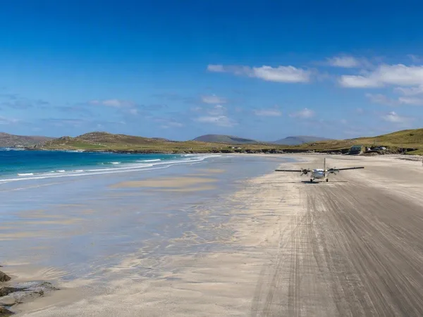
Outer Hebrides
1 linked stories and routes
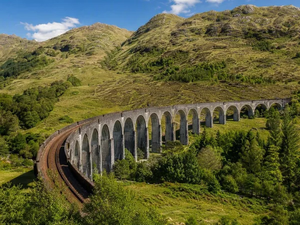
West Highland Line
1 linked stories and routes
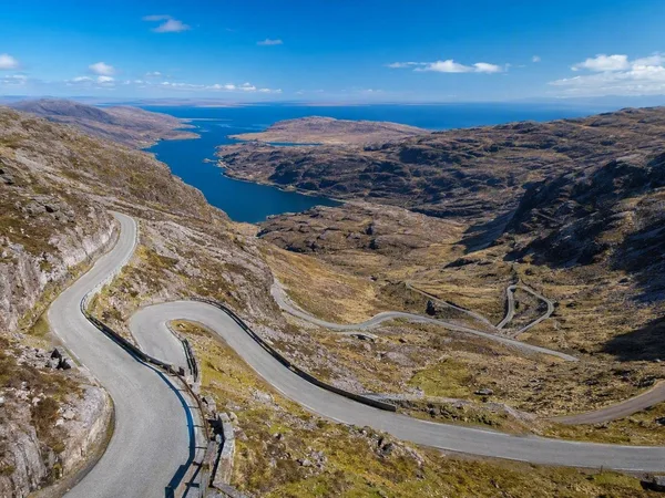
North Coast 500
1 linked stories and routes
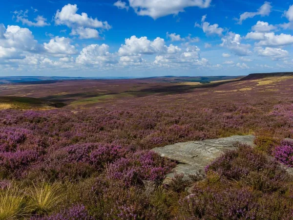
North York Moors National Park
1 linked stories and routes
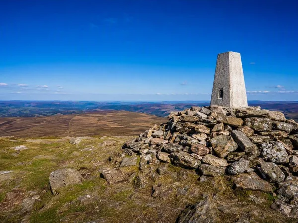
Exmoor National Park
1 linked stories and routes
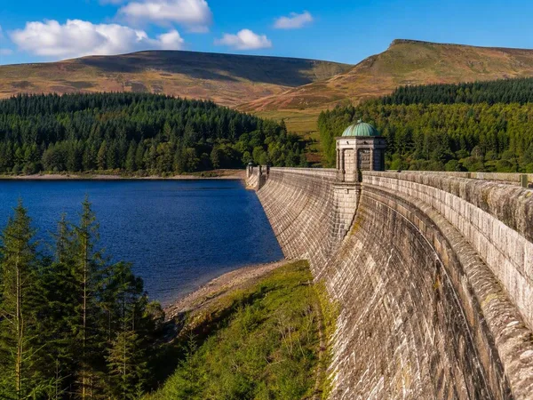
Bannau Brycheiniog National Park (Brecon Beacons)
1 linked stories and routes
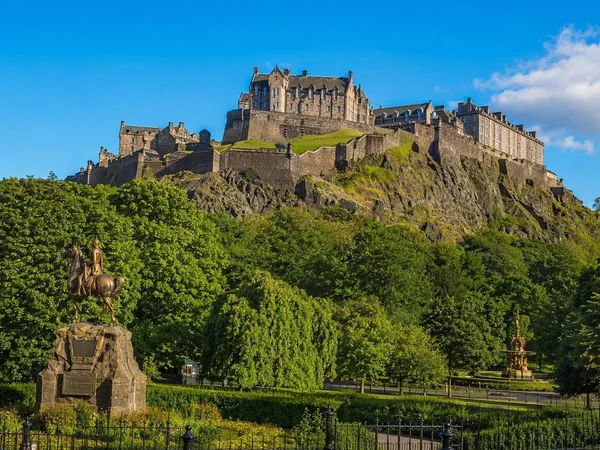
Edinburgh
1 linked stories and routes
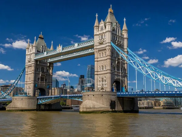
Tower Bridge
1 linked stories and routes
Mallaig
0 linked stories and routes