
Region · United Kingdom
Wester Ross
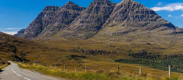
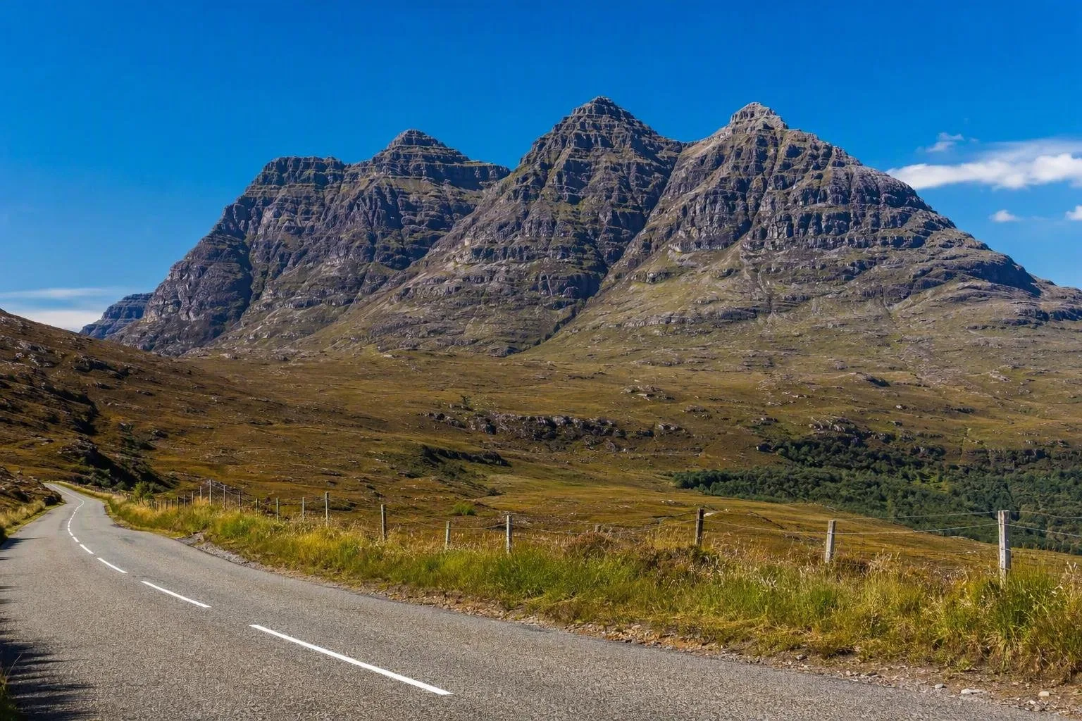
Wester Ross is a vast Highland region in northwest Scotland, shaped by sea lochs, glacial glens and isolated sandstone mountains. Loch Maree, Torridon and the coast around Gairloch provide its clearest introduction.
Orientation
Wester Ross is a large, sparsely settled sweep of the northwest Highlands. It is a region rather than a single town or park: lochs, mountain groups, crofting settlements and coastal roads are spread widely apart. Give it time and choose a base that matches your priorities—Kinlochewe for Loch Maree and Beinn Eighe, Torridon for the mountain country, or Gairloch for the northern coast.
The region is part of the Wester Ross UNESCO Biosphere, a landscape of mountains, moor, woodland, freshwater and sea. Gaelic place names remain integral to the map and to local identity.
Read the landscape
The descent through Glen Docherty towards Loch Maree is one of the most direct ways to grasp the scale: a long glacial basin, corries and steep mountain walls come into view at once. Loch Maree’s shores and islands sit beneath Slioch and Beinn Eighe, where ancient pinewood survives alongside open mountain habitat.
The rock explains the forms. Red-brown Torridonian sandstone builds the great blocky mountains; older Lewisian gneiss forms much of the rough, low ground. On Beinn Eighe, pale quartzite scree caps the darker sandstone. This is landscape for looking at closely as well as crossing.
Key areas to explore
- Loch Maree and Beinn Eighe: Use the reserve’s trails for a practical introduction to native pinewood, lochside views and mountain geology. Longer mountain routes require proper hill skills.
- Glen Torridon: The road runs beneath the pronounced ridges of Liathach, Beinn Eighe and Beinn Alligin. Pull in only where parking is provided; the narrow road must remain clear.
- The coast: Sea lochs, rocky shores and sheltered bays change the emphasis from mountains to water. Gairloch is a useful northern stopping point; Ullapool is the main northern service town.
Getting around
A car gives the greatest flexibility. Roads can be narrow, single-track and slow, with steep sections in places. Use passing places correctly: wait on the left unless signs indicate otherwise, and do not use them as parking bays. Allow generous time between stops.
From Inverness, rail services on the Kyle of Lochalsh line reach stations including Achnasheen, Achnashellach, Strathcarron and Attadale. They serve the southern side of the wider area, not every trailhead or coastal settlement.
Conditions and access
Weather can alter a day quickly. Carry waterproof layers, warm clothing, food, navigation and a charged phone for any upland walk; cloud, wind and wet ground are routine possibilities in every season. Mountain ridges such as Liathach and Beinn Alligin are serious terrain, not casual viewpoints.
Responsible access applies across most land and inland water in Scotland. Keep dogs under close control around livestock, avoid disturbing wildlife, leave no trace and follow any local notices on paths, parking or seasonal management.
From the magazine
Stories about Wester Ross
Editorial stories linked directly to Wester Ross.
No stories about Wester Ross have been published yet.
Routes from our editors
Travel through Wester Ross
Editorial routes connecting Wester Ross with other countries, cities and hotspots.
No routes through Wester Ross have been published yet.
More in United Kingdom
Related hotspots
Other cities, nature areas and places within United Kingdom.
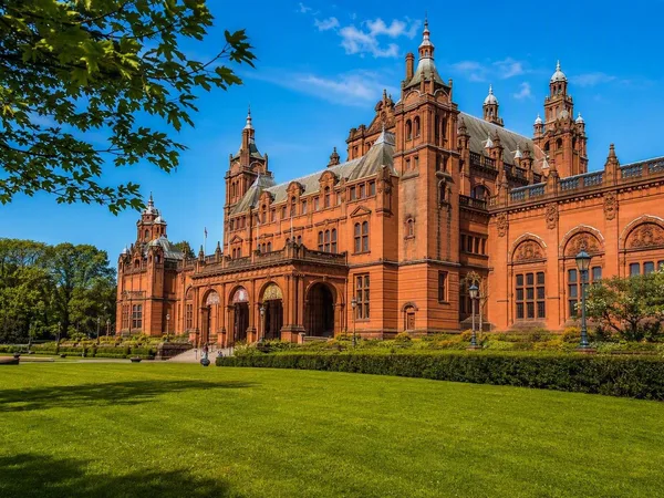
Glasgow
2 linked stories and routes
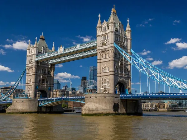
Tower Bridge
2 linked stories and routes
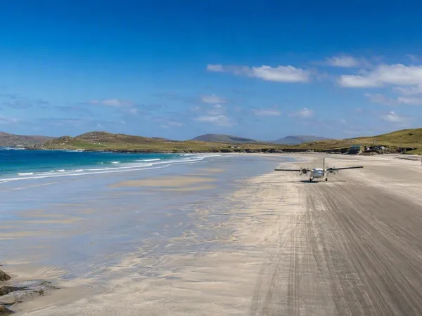
Outer Hebrides
1 linked stories and routes
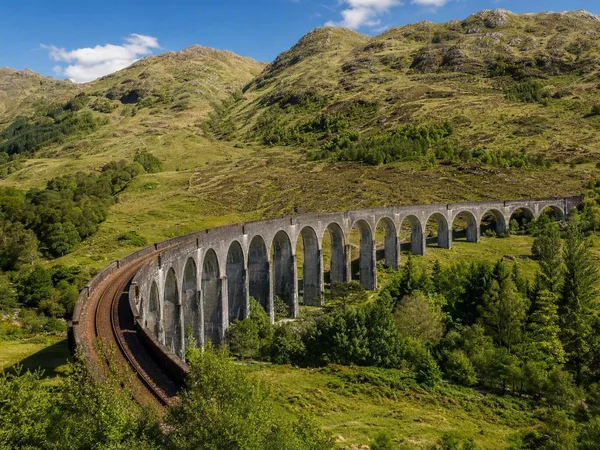
West Highland Line
1 linked stories and routes
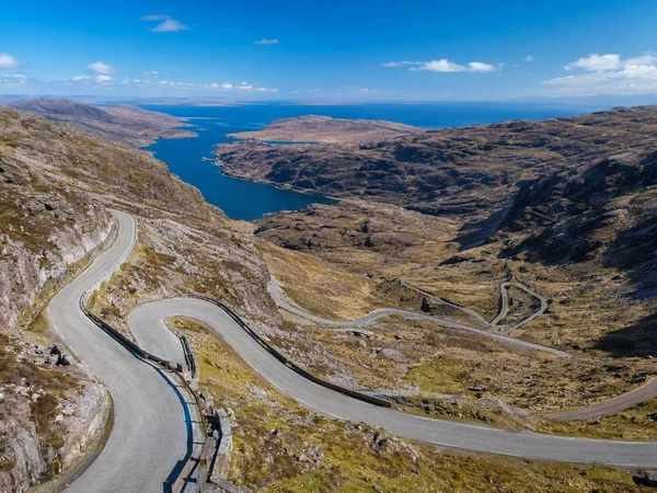
North Coast 500
1 linked stories and routes
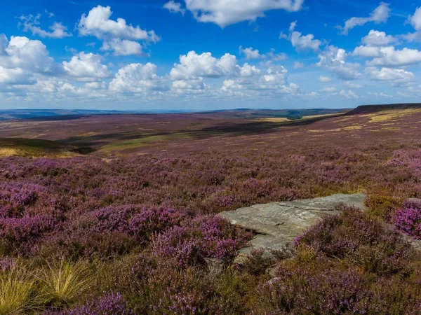
North York Moors National Park
1 linked stories and routes
Exmoor National Park
1 linked stories and routes
Bannau Brycheiniog National Park (Brecon Beacons)
1 linked stories and routes
Galloway, Scotland
1 linked stories and routes
Edinburgh
1 linked stories and routes
Thames
1 linked stories and routes
Inverness
1 linked stories and routes
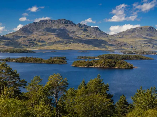
Loch Maree
1 linked stories and routes
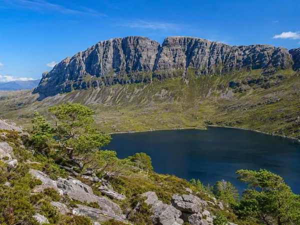
Beinn Eighe
1 linked stories and routes
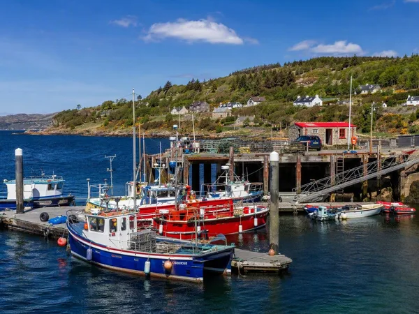
Gairloch
1 linked stories and routes
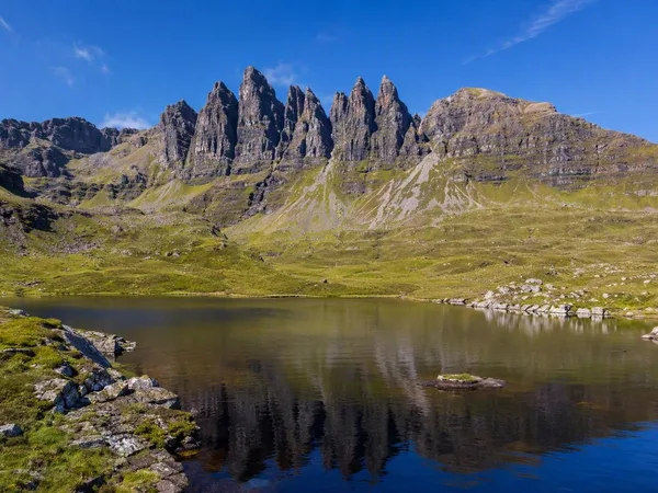
An Teallach
1 linked stories and routes
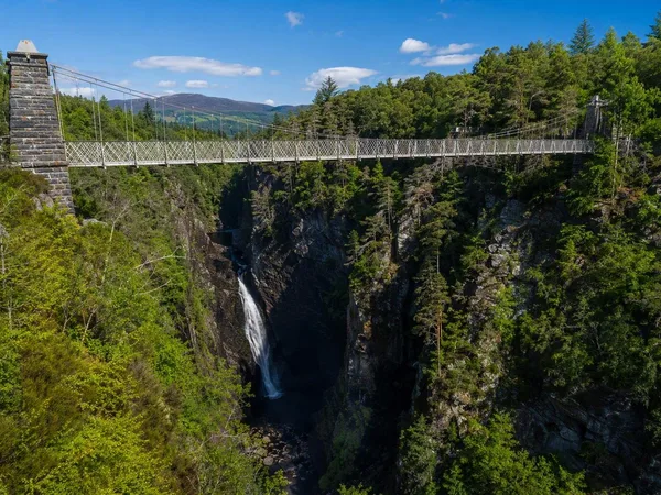
Corrieshalloch Gorge
1 linked stories and routes
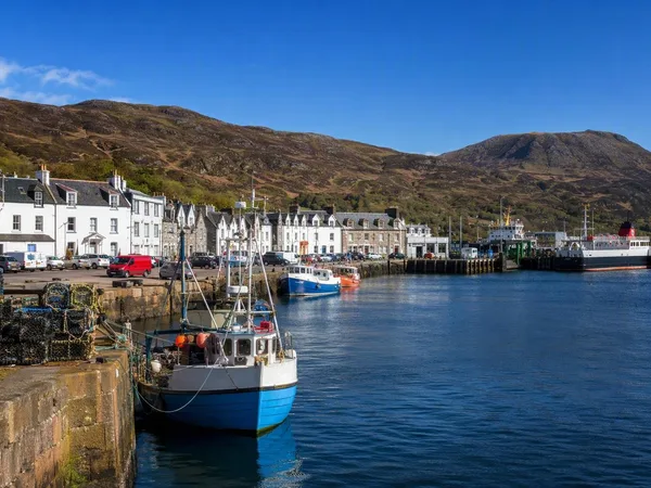
Ullapool
1 linked stories and routes
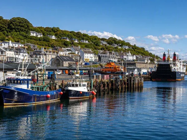
Mallaig
0 linked stories and routes