
Sight · France
Route des Grandes Alpes
Route des Grandes Alpes is France’s classic high-Alps touring route, linking Thonon-les-Bains on Lake Geneva with the Mediterranean at Menton. Its defining feature is a chain of major mountain passes, with the Col de l’Iseran as the high point.
What the route is
Route des Grandes Alpes is a signed mountain itinerary, not one continuous road. The classic road journey runs roughly 720 km from Thonon-les-Bains to Menton and strings together about 16 major cols. It is best treated as a multi-day crossing, not a distance challenge.
The current official cycling route follows the same north–south Alpine idea but uses a mapped Thonon–Nice alignment and variants. For the classic road trip, keep the Lake Geneva-to-Menton line as the reference.
The route’s backbone
Drive north to south to finish at the Mediterranean. The northern sections move through the Chablais, Aravis and Beaufortain; then the road enters the high, exposed terrain of Savoie and the southern Alps.
Key crossings include:
- Col de la Colombière, Col des Aravis and Col des Saisies in the north
- Cormet de Roselend, above its reservoir and mountain pastures
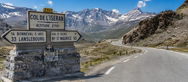
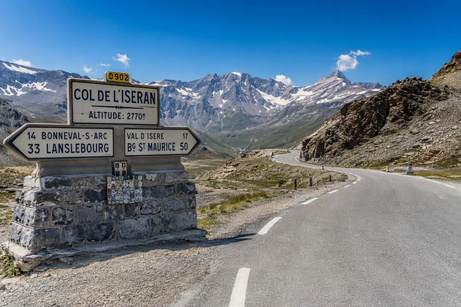
- Col de l’Iseran (2,764 m), the route’s highest pass
- Col du Télégraphe and Col du Galibier
- Col d’Izoard, Col de Vars and Col de la Cayolle
- Col de Turini, the final major pass before the coast
The Iseran links the Tarentaise and Maurienne valleys and is the route’s essential high-mountain stop. Its exposed D902 summit road is a useful geographic anchor for the whole crossing.
Pace and overnight stops
Allow five to seven days by car or motorcycle. That gives enough time for short summit stops, weather delays and valley detours without turning every day into a long drive.
A workable north–south rhythm is Beaufortain or Bourg-Saint-Maurice, then Valloire, Briançon, Barcelonnette, and a southern-Alps base such as Valberg or Saint-Martin-Vésubie before Menton. Distances are modest; ascent, hairpins and slow traffic set the pace.
Cyclists need a different plan: the direct official route is around 758 km with roughly 19,600 m of climbing, normally spread over six to eight days.
Season and road conditions
Late June to September is the dependable period for completing the high-pass sequence. Snow governs the timetable: Iseran and Galibier are commonly among the last crossings to open, while early autumn snow can end the season quickly.
Important: each pass has its own opening status and can close temporarily in poor weather. Do not assume a valley road provides a pass-road alternative. Check conditions on the morning of a crossing, carry warm and waterproof layers even in summer, and keep fuel and daylight in reserve.
On the road
This is mountain driving: narrow sections, tight bends, steep descents and regular cyclists are part of the route. Use engine braking downhill and avoid trying to maintain valley-road speeds on the cols.
Fuel, food and accommodation are concentrated in valley towns and resorts rather than at summits. Download offline navigation before the high sections; mobile coverage can be intermittent. Use formal parking and signed viewpoints at the passes, particularly around the Iseran and Galibier.
From the magazine
Stories about Route des Grandes Alpes
Editorial stories linked directly to Route des Grandes Alpes.
Routes from our editors
Travel through Route des Grandes Alpes
Editorial routes connecting Route des Grandes Alpes with other countries, cities and hotspots.
No routes through Route des Grandes Alpes have been published yet.
More in France
Related hotspots
Other cities, nature areas and places within France.
Lyon
1 linked stories and routes
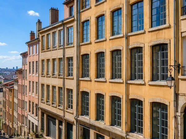
Croix-Rousse
1 linked stories and routes
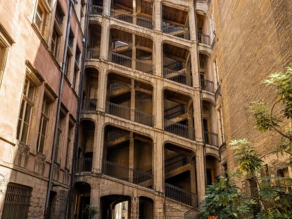
Cour des Voraces
1 linked stories and routes
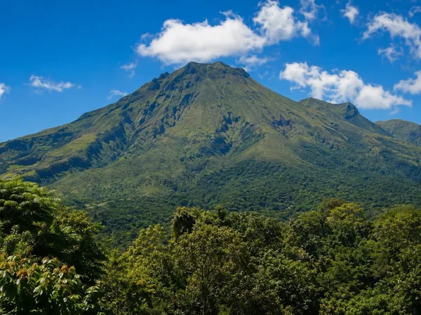
Martinique
1 linked stories and routes
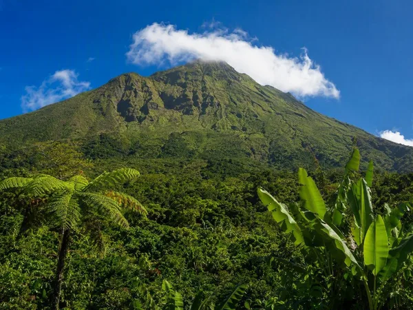
Guadeloupe
1 linked stories and routes

Île de Bréhat
1 linked stories and routes

Paris
1 linked stories and routes
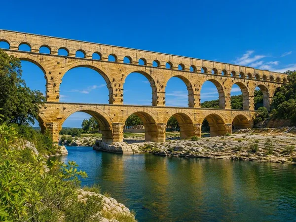
Pont du Gard
1 linked stories and routes
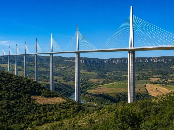
Viaduc de Millau
1 linked stories and routes
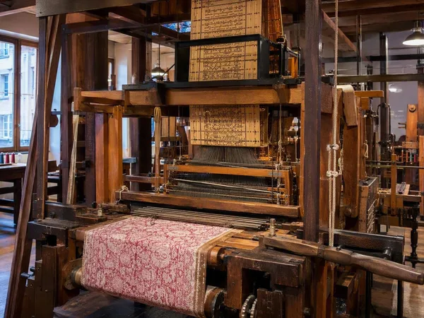
Maison des Canuts
0 linked stories and routes