
Island · France
Martinique
Martinique is a French Caribbean island in the Lesser Antilles, between the Caribbean Sea and the Atlantic Ocean. Its compact geography runs from the beach-fringed south to the volcanic, forested north.
Read the island by coast
Martinique is not one beach zone. The Caribbean coast to the west is generally the practical choice for sheltered bays, while the Atlantic-facing east is more exposed to wind and surf. In the south, Les Salines is the classic white-sand stop; on the far northern Caribbean coast, Anse Couleuvre has dark volcanic sand beneath high, vegetated cliffs.
Treat sea conditions as part of route planning. At Anse Couleuvre, currents can be strong; it is not a beach for casual swimming when the water is rough.
Volcanic north
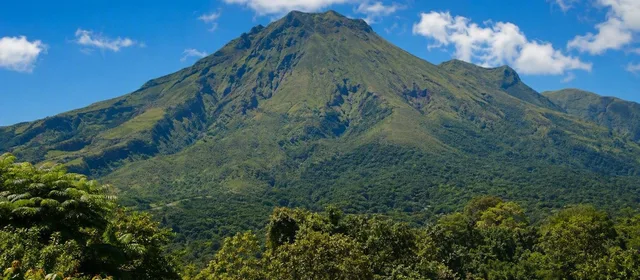
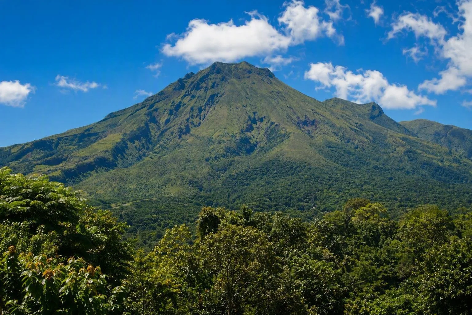
Montagne Pelée rises to 1,396 metres above northern Martinique. Together with the Pitons du Carbet, it anchors a UNESCO-listed landscape of volcanic landforms and forest running from shore to summit.
Saint-Pierre, on the west coast below Pelée, is essential context rather than a detour. The 1902 eruption destroyed the town and shaped the modern study of volcanic eruptions. Combine its surviving ruins with a north-coast drive, then continue to Le Prêcheur and Anse Couleuvre for the island’s sharper, wetter terrain.
Fort-de-France and the table
Fort-de-France is the island’s urban centre and the best place to encounter markets, museums and a working capital rather than a resort strip. Its covered market is a useful stop for spices, fruit products, rum and madras textiles.
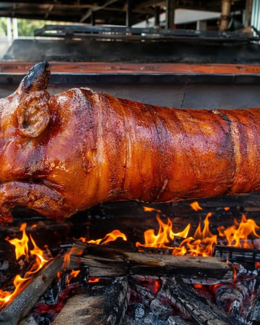
For food, look for accras (salt-cod fritters), chicken colombo, boudin and stuffed crab. Martinican cooking draws on African, Caribbean, Indian and European traditions. Rhum agricole is made from fresh sugarcane juice; distillery visits are particularly relevant during the cane harvest, generally February to June.
Getting around
Aimé Césaire airport is at Le Lamentin, near Fort-de-France. A rental car is the most efficient way to link the south’s beaches, Atlantic coast and remote northern trailheads. Roads follow French rules and drive on the right, but northern routes can be narrow, steep and winding.
Buses work best around Fort-de-France and are thinner in the north and centre. For a car-free day, maritime shuttles connect Fort-de-France with Les Trois-Îlets and nearby southwest stops. Build time around the capital: road traffic can be heavy.
Timing and essentials
The drier season runs roughly from December to May; June to November is wetter. Pack sun protection for the coast and a light waterproof layer and proper footwear for the north.
- Currency: euro.
- Language: French; Martinican Creole is widely spoken.
- Protected landscapes: remain on marked paths and respect access controls in forest and coastal reserves.
- Water: choose beaches for current conditions, not colour alone.
From the magazine
Stories about Martinique
Editorial stories linked directly to Martinique.
Routes from our editors
Travel through Martinique
Editorial routes connecting Martinique with other countries, cities and hotspots.
No routes through Martinique have been published yet.
More in France
Related hotspots
Other cities, nature areas and places within France.
Lyon
1 linked stories and routes
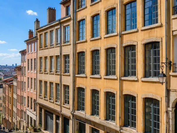
Croix-Rousse
1 linked stories and routes
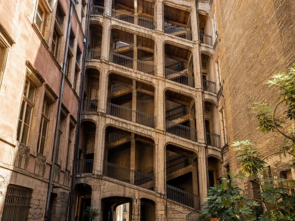
Cour des Voraces
1 linked stories and routes
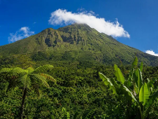
Guadeloupe
1 linked stories and routes
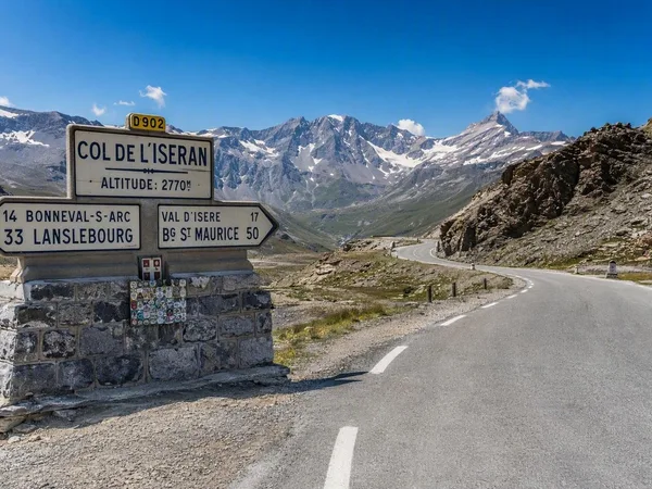
Route des Grandes Alpes
1 linked stories and routes
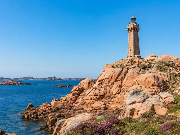
Île de Bréhat
1 linked stories and routes
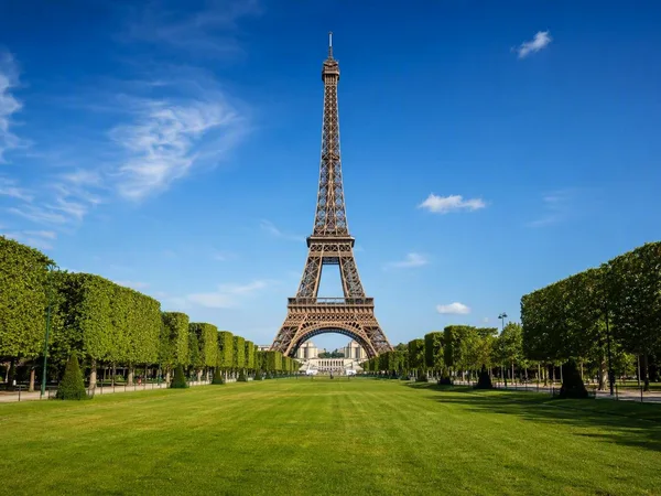
Paris
1 linked stories and routes
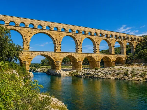
Pont du Gard
1 linked stories and routes
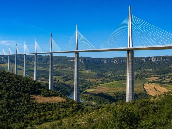
Viaduc de Millau
1 linked stories and routes
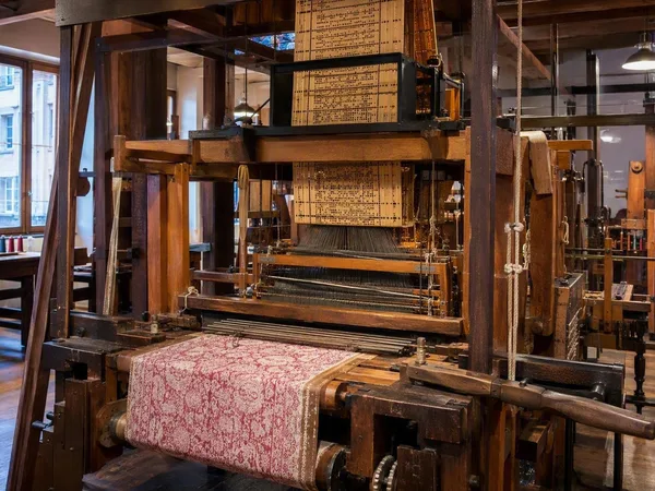
Maison des Canuts
0 linked stories and routes