
Sight · France
Pont du Gard
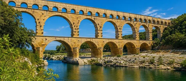
Pont du Gard is the monumental Roman aqueduct bridge over the Gardon River near Vers-Pont-du-Gard, between Nîmes and Avignon in southern France. Its three tiers of arches once carried water to Roman Nîmes.
What you are looking at
Pont du Gard is not a road bridge built for traffic. It is the dramatic river crossing of the roughly 50-kilometre aqueduct that supplied ancient Nîmes from springs near Uzès. Built in the mid-1st century AD, it rises almost 49 metres above the Gardon on three superimposed arcades.
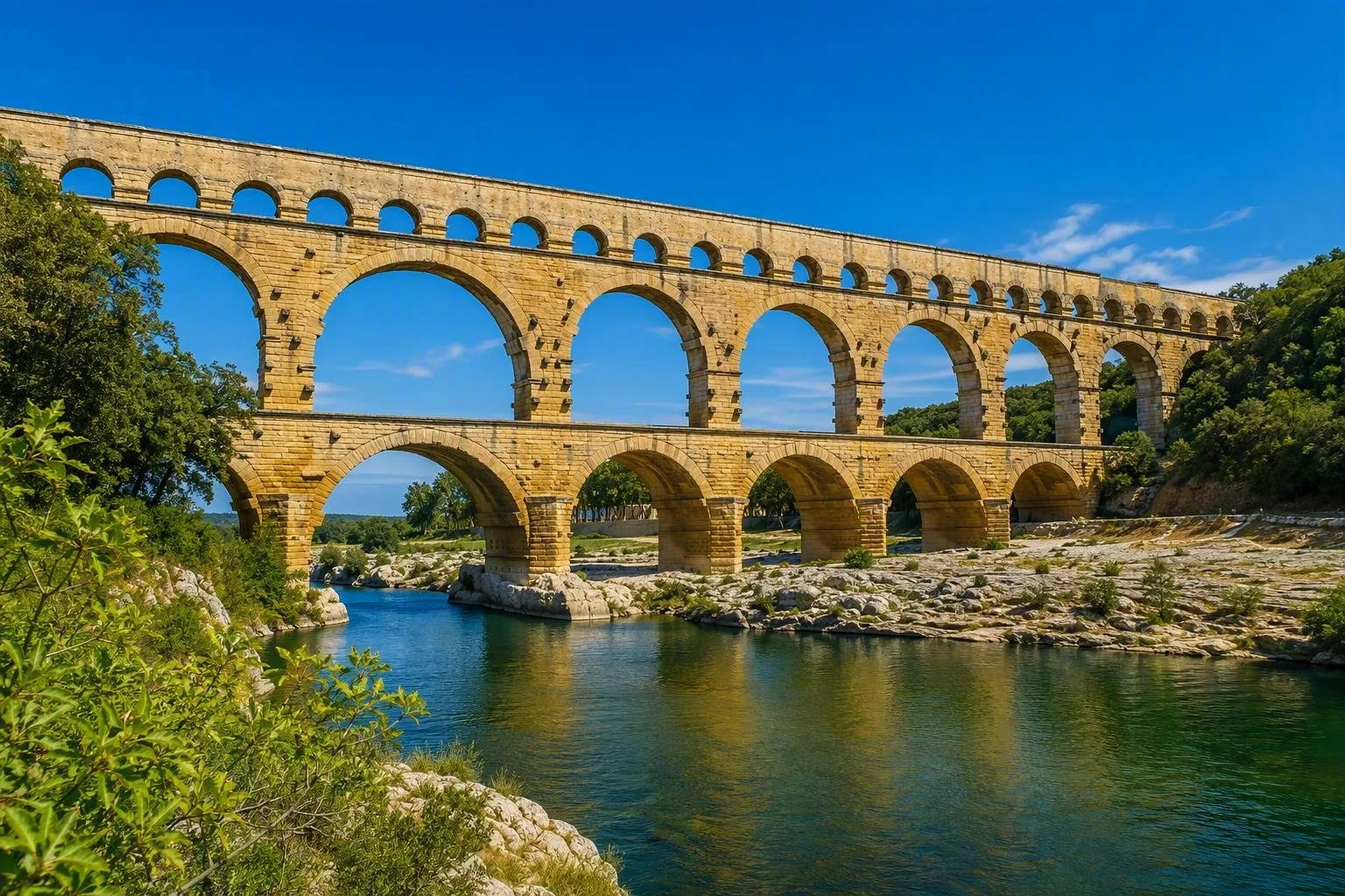
The structure reads best from the riverbanks: the lower arches are broad and heavy; the middle level tightens the rhythm; the narrow upper gallery carried the water channel. The bridge was engineered for a river capable of sudden, powerful floods. Its large central opening and pointed pier cutwaters help pass high water.
Read the Roman engineering
Look closely at the masonry rather than only at the overall silhouette. The lower levels use immense dressed stone blocks, while the upper level is lighter construction supporting the channel. Tool marks and stone-setting marks remain visible in places.
The aqueduct relied on gravity, not pumps. Water travelled from the Uzès area to Nîmes along a carefully controlled gradient; this towering crossing was the solution to the Gardon valley. The aqueduct stopped operating around the beginning of the 6th century. In the Middle Ages, the monument was altered to permit the passage of people and animals, leaving a second, later chapter in the fabric.
Walking the site
Allow at least 90 minutes for a self-guided visit; add time for the riverside and garrigue trails. Start on either bank and walk the pedestrian site to see the bridge at close range, then step back along the Gardon for the full three-tier profile.
The outdoor monument is free to reach on foot or by bicycle. The museum, cinema and other discovery areas are on the left bank and require admission. The museum is the useful stop if you want the aqueduct's route, construction methods and water system explained rather than simply photographed.
Access and upper channel
By car, the site is near A9 exit 23 at Remoulins; signed approaches lead to parking on either bank. Nîmes is about 27 km away and Avignon about 21 km. Bus routes connect from Nîmes and Avignon; the Beaucaire–Uzès greenway also reaches the site.
Important: the ancient water channel on the third level is not open for independent access. It is reached only on a guided visit, involving about 80 steps and a return on garrigue paths; it is not suitable for wheelchairs or pushchairs. Most outdoor paths and cultural spaces are accessible, with wheelchairs available on site.
Parking, discovery areas and guided tours are charged; pedestrian and cycle access to the monument is free. Cultural spaces have seasonal hours, so time a museum visit before heading to the bridge.
From the magazine
Stories about Pont du Gard
Editorial stories linked directly to Pont du Gard.
Routes from our editors
Travel through Pont du Gard
Editorial routes connecting Pont du Gard with other countries, cities and hotspots.
No routes through Pont du Gard have been published yet.
More in France
Related hotspots
Other cities, nature areas and places within France.

Lyon
1 linked stories and routes
Croix-Rousse
1 linked stories and routes
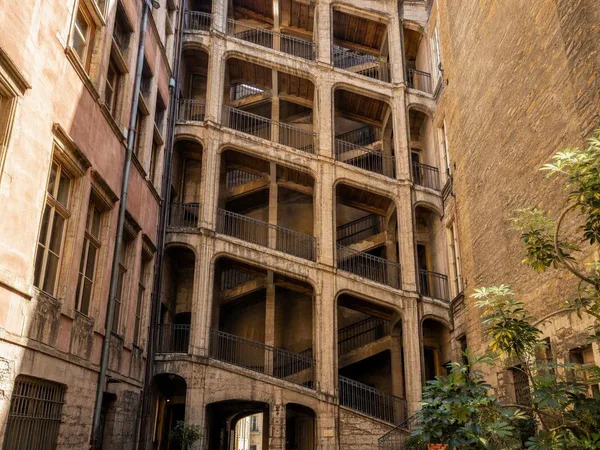
Cour des Voraces
1 linked stories and routes

Martinique
1 linked stories and routes
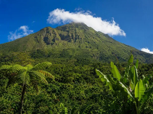
Guadeloupe
1 linked stories and routes
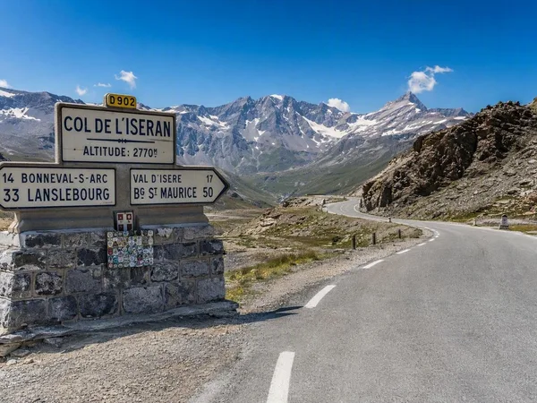
Route des Grandes Alpes
1 linked stories and routes

Île de Bréhat
1 linked stories and routes

Paris
1 linked stories and routes
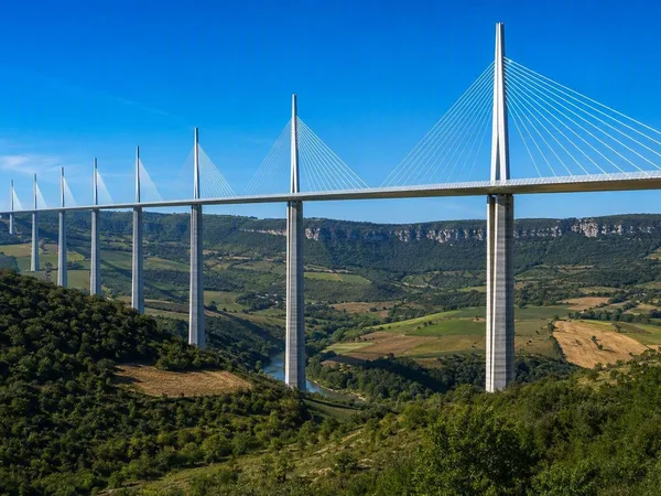
Viaduc de Millau
1 linked stories and routes
Maison des Canuts
0 linked stories and routes