
Neighbourhood · Mexico
Tlalpan, Mexico City
Tlalpan is Mexico City’s expansive southern district, with its historic core gathered around Plaza de la Constitución. Come here for the former villa’s civic buildings, market and a long-running brick-oven bakery.
Start in Tlalpan Centro
Tlalpan is the capital’s largest territorial district, but its most walkable and historic pocket is Tlalpan Centro. The old Villa de Tlalpan is organized around Plaza de la Constitución, also called the Jardín Principal. Porticoes, trees, the parish and public buildings give the centre a compact, small-town layout within Mexico City.
Use the plaza as your reference point. The Palacio Municipal stands at Plaza de la Constitución 1; the early-20th-century building faces the garden. Behind it is Mercado La Paz, a late-19th-century market with its original brick-and-iron structure. The Museo de Historia de Tlalpan, in the 1874 Casona opposite the palace, provides useful context for the area’s pre-Hispanic, colonial and modern history.
The bread stop: La Montañesa
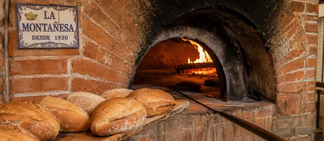
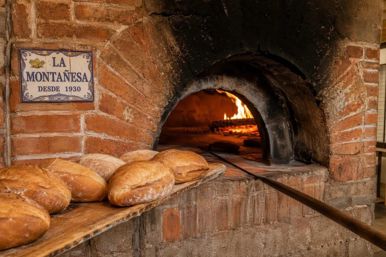
At Plaza de la Constitución 8, Panadería La Montañesa has baked since 1935 in traditional brick ovens. It is a working neighbourhood bakery, not a museum piece.
Order with a purpose:
- Bolillo: the short white roll with a crisp crust and soft interior; take a few away for tortas or a meal.
- Pan dulce: look for shell-topped conchas and flaky, ear-shaped orejas.
The bakery sits directly by the plaza and Mercado La Paz, so it fits naturally into a walk through the centre. Go earlier in the day if the bolillo is the priority; this is a daily bakery counter rather than a sit-down café.
Beyond the plaza
Tlalpan’s scale matters. The historic centre is only one part of an alcaldía that stretches south into major ecological and archaeological landscapes.
Cuicuilco preserves a circular-base pyramid from one of the Valley of Mexico’s earliest urban centres; the ancient settlement was overwhelmed by lava from the Xitle volcano. For green space nearer the city, Bosque de Tlalpan has maintained paths and running routes. Farther south, the Cumbres del Ajusco National Park rises into high, temperate forest and mountain terrain.
Treat these as separate outings from the historic centre rather than stops on one walk.
Getting there and moving around
For Tlalpan Centro, the Metrobús stop at La Joya is a practical public-transport approach; continue on foot via Callejón San Marcos and Congreso toward the plaza. Once there, the principal sights, market and La Montañesa are close together and best covered on foot.
Tlalpan’s archaeological sites, forest and Ajusco highlands are widely spread across the district. Plan those trips independently and do not assume that the plaza is within walking distance of them.
From the magazine
Stories about Tlalpan, Mexico City
Editorial stories linked directly to Tlalpan, Mexico City.

Routes from our editors
Travel through Tlalpan, Mexico City
Editorial routes connecting Tlalpan, Mexico City with other countries, cities and hotspots.
No routes through Tlalpan, Mexico City have been published yet.
More in Mexico
Related hotspots
Other cities, nature areas and places within Mexico.
Mexico City
2 linked stories and routes
La Merced
1 linked stories and routes
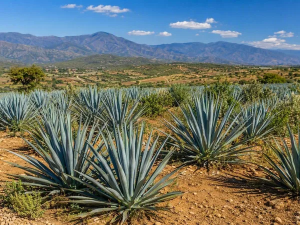
Oaxaca
1 linked stories and routes
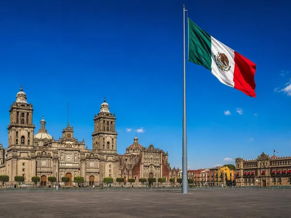
The Zócalo, Mexico City
1 linked stories and routes
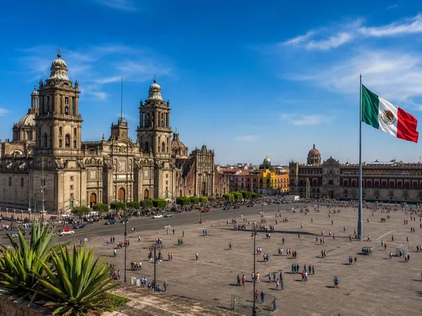
Centro Histórico
0 linked stories and routes
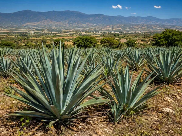
Central Valleys of Oaxaca
0 linked stories and routes
Sierra Sur, Oaxaca
0 linked stories and routes