
Sight · Mexico
The Zócalo, Mexico City
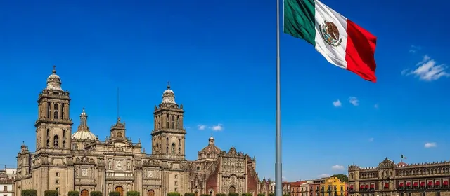
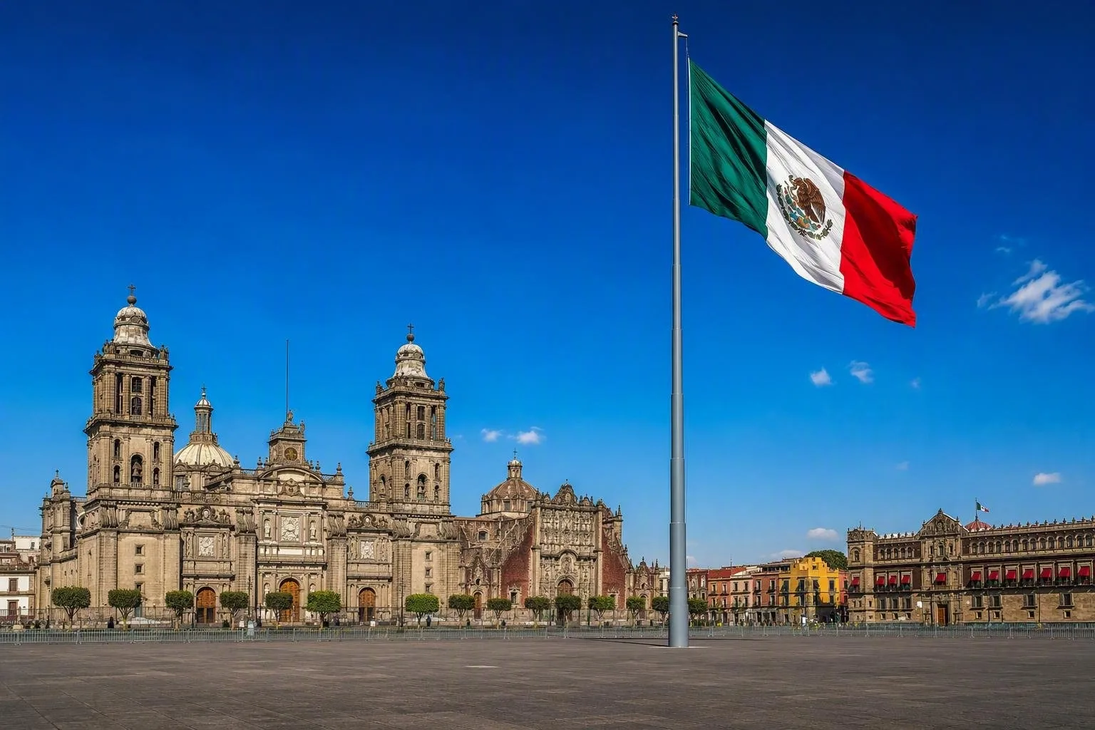
The Zócalo, formally Plaza de la Constitución, is Mexico City’s principal civic square in the Centro Histórico. The vast open plaza is bordered by the Metropolitan Cathedral, Palacio Nacional and government buildings.
Orientation
The Zócalo is the everyday name for Plaza de la Constitución, the principal square of Mexico City. It occupies the heart of the Centro Histórico, an area built over the former Mexica capital of Tenochtitlan. This is a working civic space rather than a self-contained monument: ceremonies, demonstrations, concerts and temporary installations can all change its layout.
The broad paved plancha is defined by four major edges:
- North: Metropolitan Cathedral and the Sagrario Metropolitano.
- East: Palacio Nacional.
- South: the Old City Hall and government buildings.
- West: the commercial arcades leading into Calle Francisco I. Madero.
What to notice
Start in the open centre, where the monumental flagpole provides the square’s visual anchor. The Mexican flag is raised and lowered ceremonially; do not expect the same view at every hour.
The plaza’s history is not only in the buildings around it. In the late 18th century, the Coatlicue, the Piedra del Sol and the Piedra de Tízoc were found here. Look for the commemorative plaques marking their discovery locations, notably on the southeast and northwest sides of the square.
For the clearest read of the square, walk its perimeter rather than crossing it directly. The north side gives the full cathedral façade; the east side faces Palacio Nacional; the northeast corner leads toward the Templo Mayor archaeological zone.
Getting there and moving around
Metro: Zócalo/Tenochtitlan on Line 2 has exits for the plaza, cathedral and Palacio Nacional. The station has an elevator for holders of the Metro’s Libre Acceso card. Allende and Pino Suárez are useful alternatives if Zócalo/Tenochtitlan is restricted.
The circuit around the square has been pedestrianised. Walk, cycle or use other non-motorised transport; ordinary motor traffic is not permitted around the plaza. The surface is level and open, but distances across the square are longer than they appear.
Timing and access
Come early for an unobstructed sense of the architecture and the scale of the plaza. Late afternoons and weekends are busier, especially when the surrounding Centro Histórico is active.
There is no standard entry gate for the square. Important: large civic events, demonstrations and concerts can bring fencing, security screening, closed approaches and temporary Metro closures. On such days, use an outer Metro station and approach on foot through the Centro Histórico.
Pair it with nearby sites
Keep the focus tight: the Zócalo works best as the starting point for its immediate edges. Enter the cathedral from the north side when it is open. The Templo Mayor archaeological zone lies just northeast of the square, while Calle Francisco I. Madero runs west from the plaza toward other historic-centre landmarks. Palacio Nacional faces the east side, but its own visitor access operates separately from the public square.
From the magazine
Stories about The Zócalo, Mexico City
Editorial stories linked directly to The Zócalo, Mexico City.
Routes from our editors
Travel through The Zócalo, Mexico City
Editorial routes connecting The Zócalo, Mexico City with other countries, cities and hotspots.
No routes through The Zócalo, Mexico City have been published yet.
More in Mexico
Related hotspots
Other cities, nature areas and places within Mexico.
Mexico City
2 linked stories and routes
La Merced
1 linked stories and routes
Oaxaca
1 linked stories and routes
Tlalpan, Mexico City
1 linked stories and routes
Centro Histórico
0 linked stories and routes
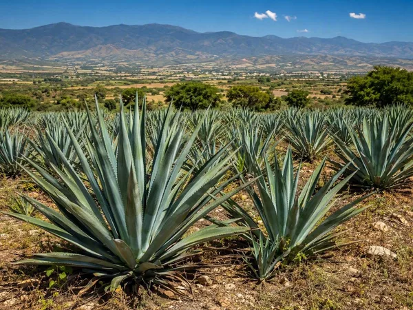
Central Valleys of Oaxaca
0 linked stories and routes
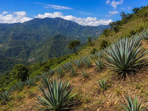
Sierra Sur, Oaxaca
0 linked stories and routes