
Neighbourhood · Mexico
Centro Histórico
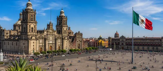
Mexico City’s historic centre is the original core of the capital, centred on the Zócalo in Cuauhtémoc. Mexica archaeology, colonial civic architecture, museums and major public squares sit within a walkable urban district.
Orientation
Centro Histórico is Mexico City’s original urban core, built over the former island city of México-Tenochtitlan. The historic zone covers 9.7 square kilometres and includes the central neighbourhoods around the Zócalo as well as parts of adjoining districts. Its central heritage area has World Heritage status.
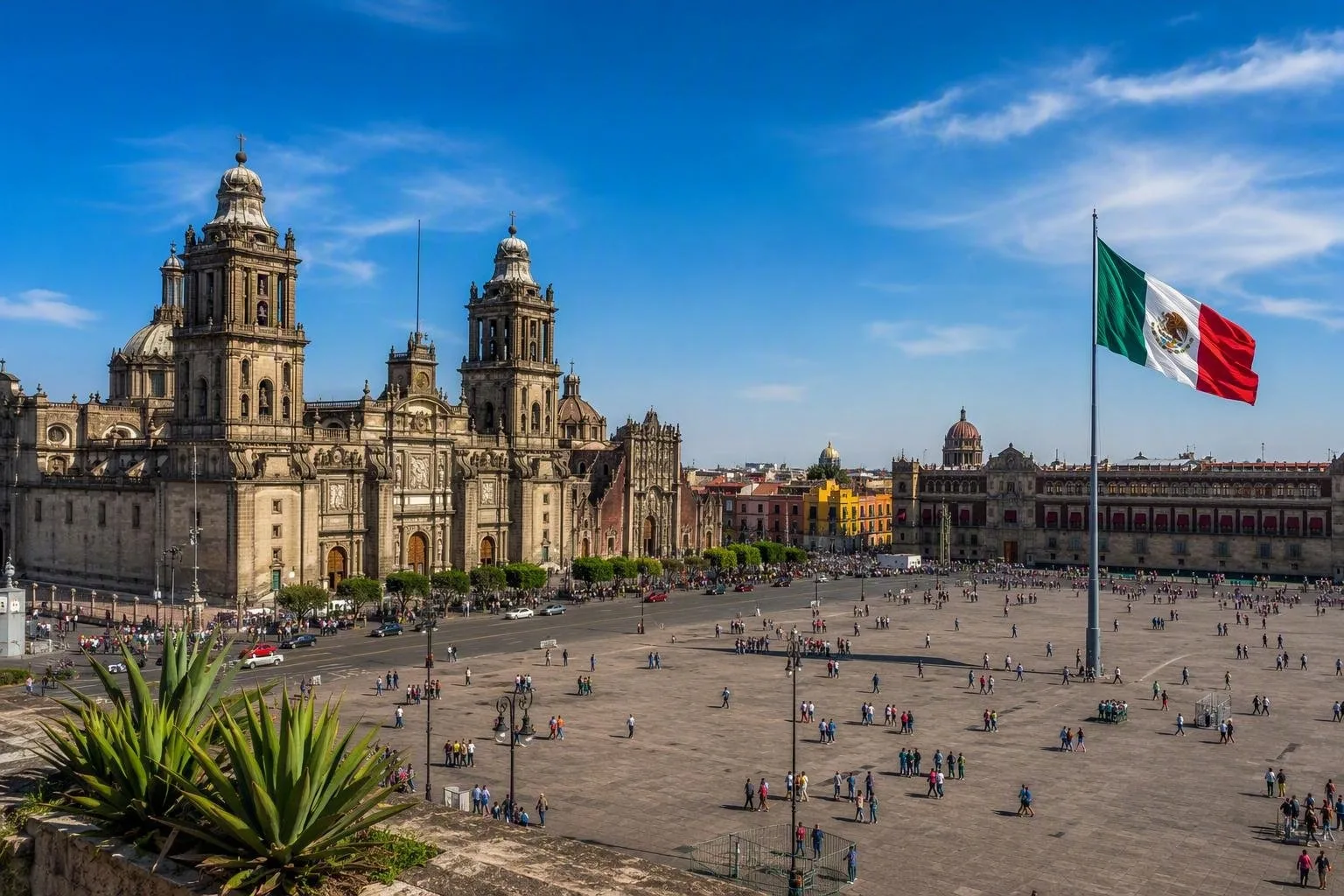
Use the Zócalo, formally Plaza de la Constitución, as your reference point. From here, the district spreads west towards Alameda Central and Bellas Artes, north towards Santo Domingo and San Ildefonso, south towards Pino Suárez and Regina, and east towards La Merced.
Start at the Zócalo
The Zócalo brings together the main civic, religious and archaeological layers of the city. Walk its edges before heading into individual sites:
- Metropolitan Cathedral: the vast cathedral on the north side, begun in 1573 and completed over nearly 250 years.
- National Palace: on the east side, built on the site of Moctezuma II’s New Houses and home to murals by Diego Rivera.
- Templo Mayor: immediately northeast of the square. The excavated ceremonial centre of Tenochtitlan reveals successive construction phases and has a site museum.
The square hosts civic ceremonies, demonstrations and large public events. These can alter pedestrian access and the pace of a visit.
Build a walk, not a checklist
The centre rewards short, focused routes. Pair the Zócalo and Templo Mayor with the north-eastern streets around República de Argentina and San Ildefonso for archaeology, former colleges and museums. Head west along Madero and Tacuba for historic commercial streets, then continue to Palacio de Bellas Artes and Alameda Central.
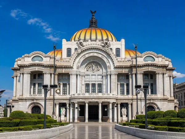
Bellas Artes combines an Art Nouveau exterior with an Art Deco interior and contains major murals. Elsewhere, the district’s cultural corridors link temples, public buildings, plazas, museums and archaeological remains; the routes range from roughly 1.5 to 3.5 kilometres.
Getting around
Arrive by Metro at Zócalo/Tenochtitlan for the square and Templo Mayor, or Bellas Artes for the western end. Most central sights are close enough to cover on foot, but distances add up across the wider district.
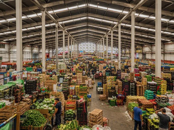
Prioritise walking on the pedestrianised streets and use a map to divide the centre into manageable zones. Streets around La Merced are part of the historic area but function as a working market district, with dense foot traffic, vehicles and deliveries.
Practical rhythm
Give the central cluster at least half a day; allow longer if entering museums and monuments. Begin early for clearer streets and tackle one direction at a time rather than crossing the Zócalo repeatedly.
Carry only what you need in crowded streets and keep bags closed. At churches, archaeological sites and government buildings, access rules, security checks and photography policies can differ by entrance.
From the magazine
Stories about Centro Histórico
Editorial stories linked directly to Centro Histórico.
No stories about Centro Histórico have been published yet.
Routes from our editors
Travel through Centro Histórico
Editorial routes connecting Centro Histórico with other countries, cities and hotspots.
No routes through Centro Histórico have been published yet.
More in Mexico
Related hotspots
Other cities, nature areas and places within Mexico.
Mexico City
2 linked stories and routes
La Merced
1 linked stories and routes
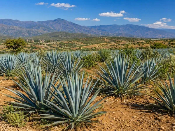
Oaxaca
1 linked stories and routes
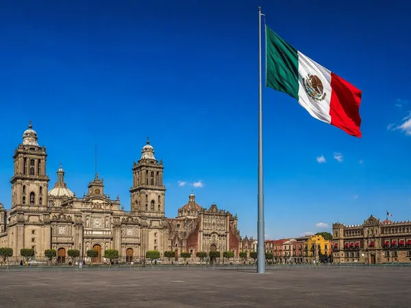
The Zócalo, Mexico City
1 linked stories and routes
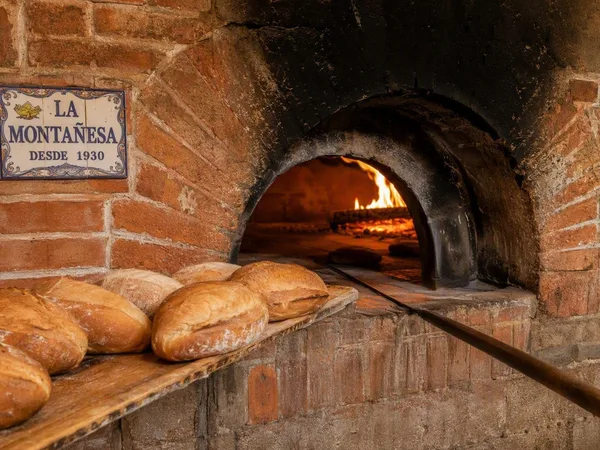
Tlalpan, Mexico City
1 linked stories and routes
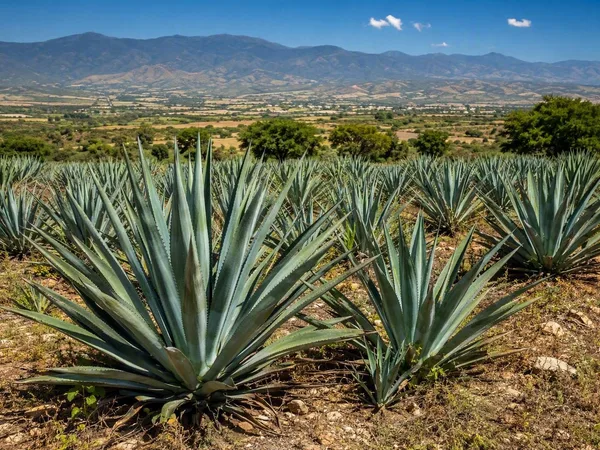
Central Valleys of Oaxaca
0 linked stories and routes
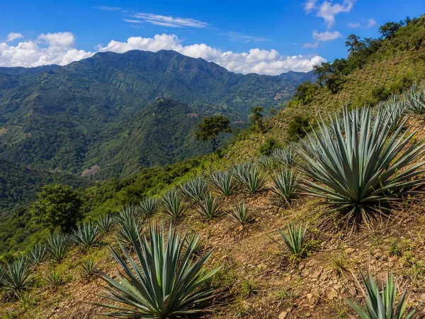
Sierra Sur, Oaxaca
0 linked stories and routes