
State · Mexico
Yucatán
Yucatán is a Mexican state on the northern Yucatán Peninsula, bordered by the Gulf of Mexico, Campeche and Quintana Roo. Its limestone plain, Maya cities, cenotes and colonial-era towns make it a region best explored in distinct, well-planned sections.
Get oriented
Yucatán is a state, not the entire peninsula: Cancún, Tulum and most Caribbean resort areas lie outside it in Quintana Roo. Mérida, the state capital, is the principal urban base; Valladolid is useful for the eastern archaeological zone, while the southern Puuc region suits a slower road trip.
The landscape is overwhelmingly flat limestone. There are no major surface rivers; groundwater emerges through cenotes, the sinkholes and caves that shape both the terrain and the travel map. The Gulf coast runs along the north, with low beaches, lagoons and wetlands rather than Caribbean-style shoreline.
Build a route, not a checklist
Treat the state as several travel areas rather than a series of day trips from one hotel.
- Mérida and the west: colonial city life, museums, markets, haciendas and easy access to the coast around Progreso or Celestún.
- The east: Valladolid, Chichén Itzá, cenotes and smaller inland towns.
- The south: Uxmal and the Puuc route, where low hills break the otherwise level landscape and Maya stonework takes a distinct architectural form.
- The north coast: fishing towns, beaches, salt flats, lagoons and protected wetland landscapes around Río Lagartos and Celestún.
A rental car gives the most control beyond the main towns. Public transport reaches major places including Chichén Itzá and Uxmal, but is less useful for linking cenotes, small villages and coastal reserves on the same day.
Maya sites and built heritage
Chichén Itzá is the state’s major Maya-Toltec city: see El Castillo, the Great Ball Court, the Temple of the Warriors and El Caracol as a coherent urban complex, not isolated photo stops. It is about 115 km east of Mérida via Piste. Go early; the exposed plazas become hot and visitation is heavy.
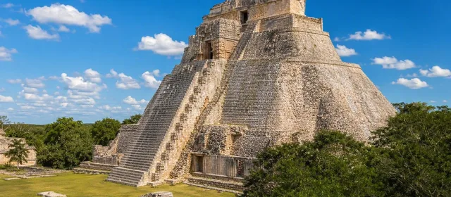
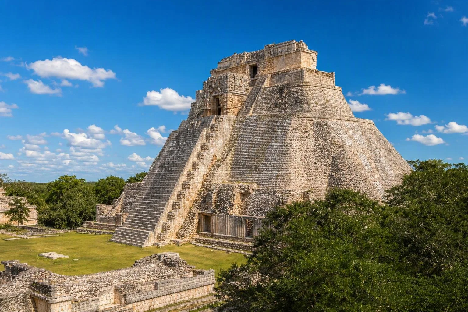
Uxmal is the key Puuc site, south of Mérida on Federal Highway 261. Its Pyramid of the Magician, Nunnery Quadrangle and Governor’s Palace show the region’s elaborate stone mosaic façades, rain-god masks and geometric ornament. Pair it with nearby Puuc sites only if you have a full day and your own transport.
Mérida, Izamal and Valladolid add colonial streets, churches and public squares to the itinerary. Henequen-era haciendas, many adapted for visits or stays, are another important layer of the state’s built landscape.
Cenotes, coast and heat
Cenotes are freshwater geological features, not interchangeable swimming pools. Some are open pools; others are enclosed caverns with stairs, limited light and deeper water. Follow the site’s shower, flotation-device and access rules, and avoid sunscreen or products that can affect the water.
The climate is warm year-round, with hotter, more humid conditions and summer rains. Plan archaeological sites, town walks and unshaded cenotes early in the day; reserve indoor museums, long lunches or a coastal stop for the hottest hours. Carry water at ruins and use footwear that handles uneven stone and wet cenote steps.
Eat with place in mind
Yucatecan cooking stands apart from generic Mexican menus. Look for cochinita pibil, slow-cooked pork seasoned with achiote and sour orange; panuchos and salbutes, fried masa bases with toppings; papadzules; and poc chuc, grilled pork with citrus. Markets and daytime eateries are often the most direct setting for these dishes. In coastal towns, choose the catch of the day and keep expectations focused on Gulf seafood rather than resort dining.
From the magazine
Stories about Yucatán
Editorial stories linked directly to Yucatán.
No stories about Yucatán have been published yet.
Routes from our editors
Travel through Yucatán
Editorial routes connecting Yucatán with other countries, cities and hotspots.
No routes through Yucatán have been published yet.
More in Mexico
Related hotspots
Other cities, nature areas and places within Mexico.
Mexico City
3 linked stories and routes
La Merced
1 linked stories and routes
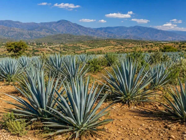
Oaxaca
1 linked stories and routes
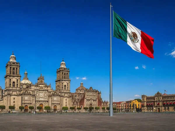
The Zócalo, Mexico City
1 linked stories and routes
Tlalpan, Mexico City
1 linked stories and routes
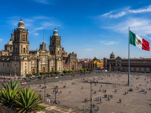
Centro Histórico
0 linked stories and routes
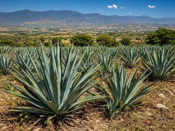
Central Valleys of Oaxaca
0 linked stories and routes
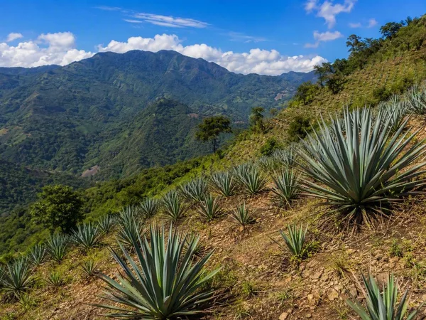
Sierra Sur, Oaxaca
0 linked stories and routes