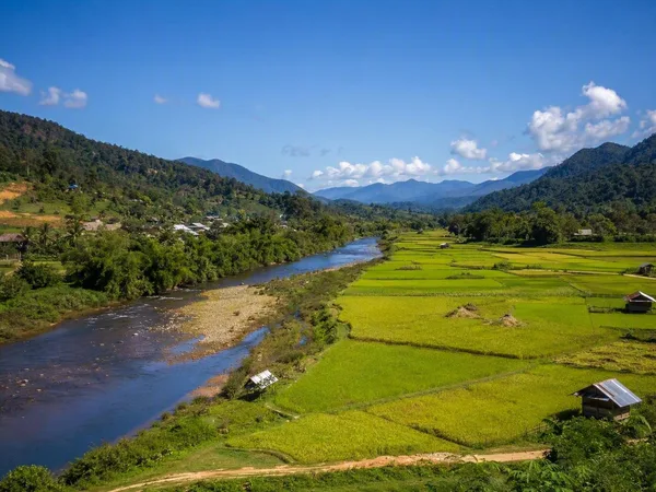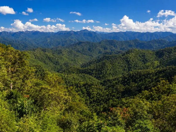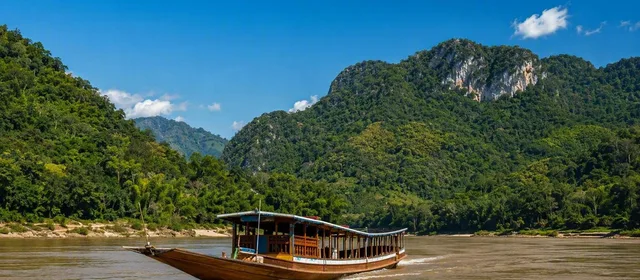
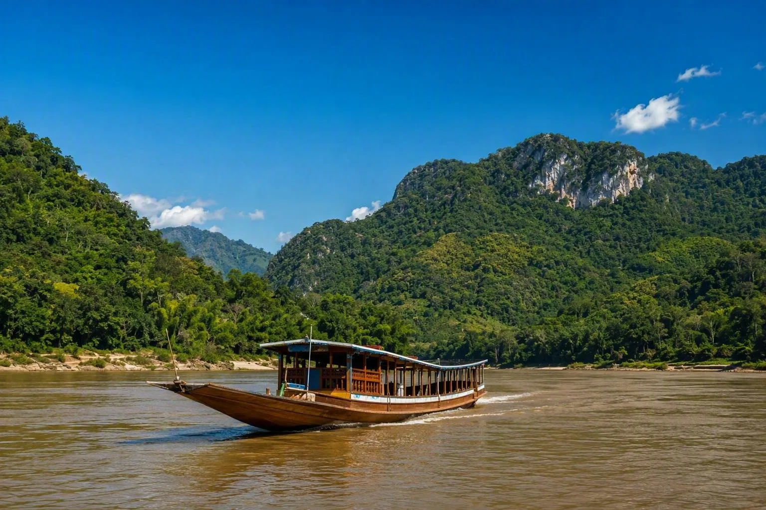
Start with the Mekong, then leave its banks. In northern Laos, the Nam Ou runs below limestone cliffs and forested slopes, while mountain roads reach valleys where villages grow rice and vegetables. South of Pakse, the Bolaven Plateau sits at a higher elevation, with coffee farms, waterfalls and cooler air than the lowlands. The Mekong remains central to daily life, carrying boats between riverside towns and cutting through the plains around Vientiane. Laos is landlocked, but its rivers shape much of what people see, eat and buy.
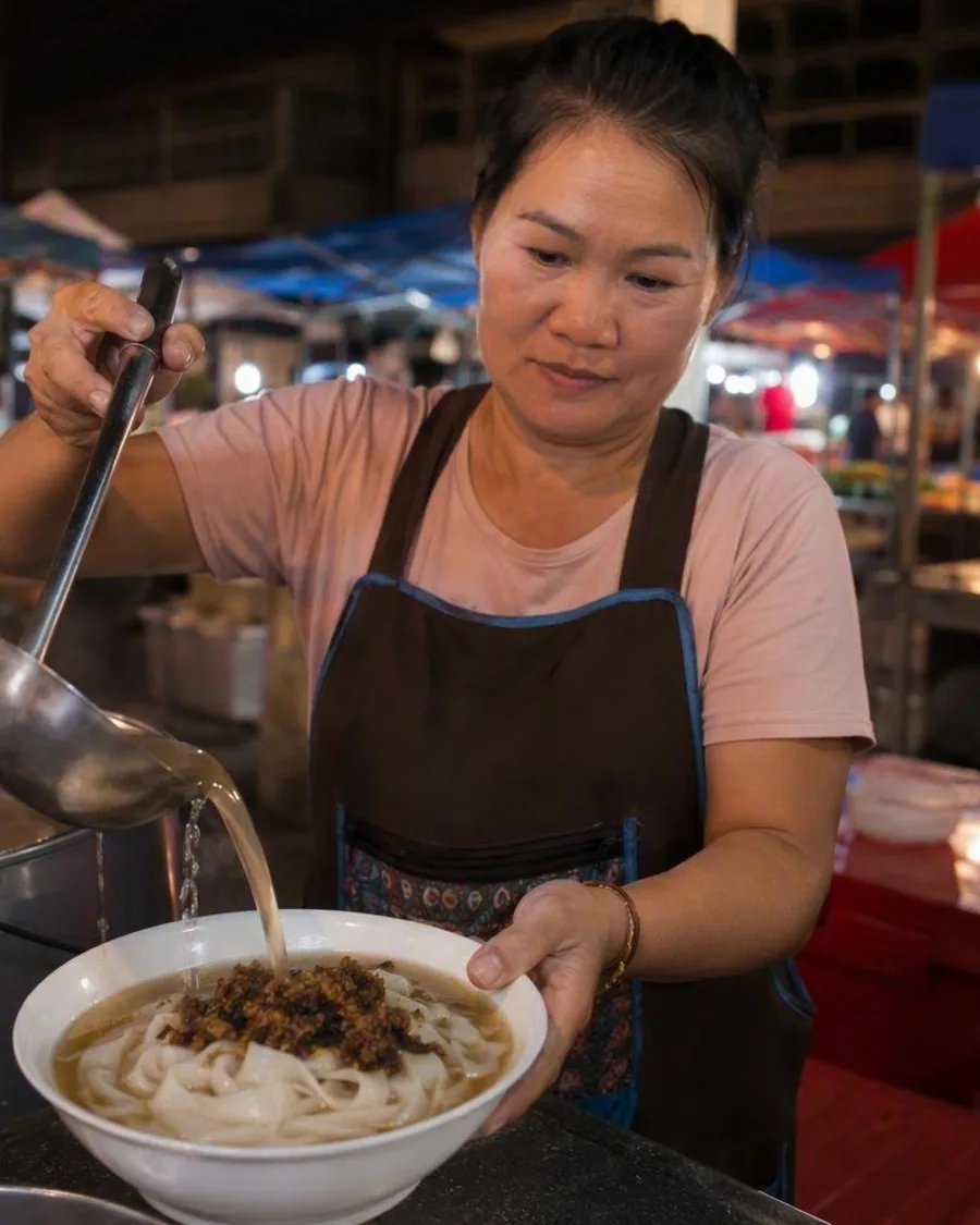
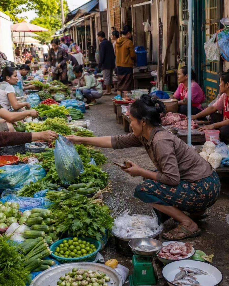
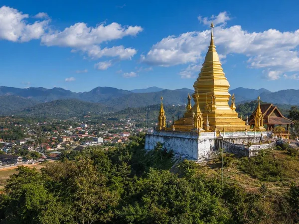
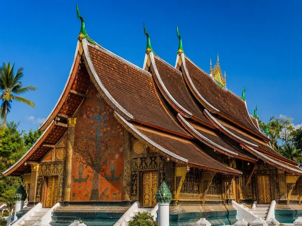
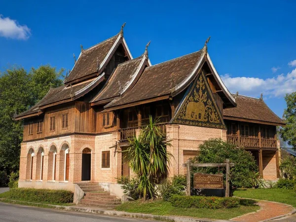
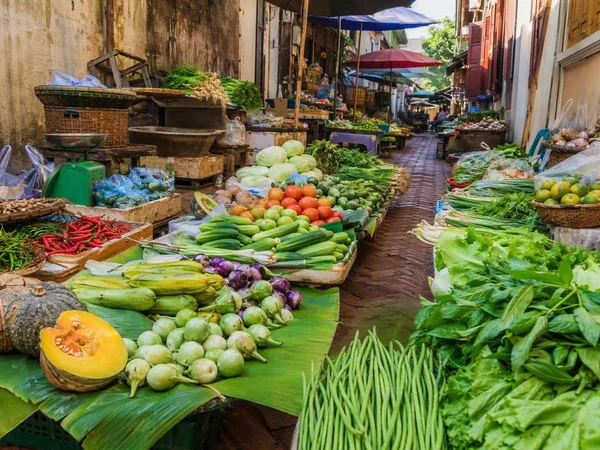
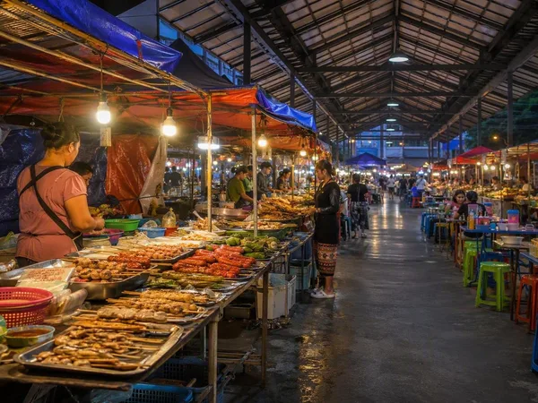
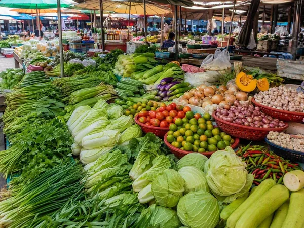
Luang Prabang gives the country its best-known streetscape: gilded temple roofs, wooden houses and French-era buildings stand close together on a peninsula between the Mekong and the Nam Khan. At morning markets, vendors sell sticky rice, river fish, fresh herbs and chillies for dishes such as laap and soups.
Vientiane has government buildings, museums and broad roads, but neighbourhoods along the river keep a lower, quieter scale than many regional capitals. Farther south, Wat Phou preserves Khmer stone temples on the slope of Phou Kao mountain. At Si Phan Don, the Mekong breaks into channels around low islands near the Cambodian border. The Plain of Jars and eastern provinces also carry the visible and lasting consequences of twentieth-century war. Give Laos time beyond one river stop, and its towns, food and varied landscapes come into clearer view.