
City · Laos
Luang Namtha
Luang Namtha is the provincial capital in northwestern Laos, set in the Nam Tha valley near the Chinese border. It is a compact base for the night market, valley cycling and guided trips into Nam Ha National Protected Area.
Orientation
Luang Namtha is a small provincial capital in a broad valley framed by northern Lao mountains. The town is a practical base rather than a resort: its main street concentrates guesthouses, food, agencies and the evening market, while rice fields, villages and the Nam Tha River begin beyond the built-up centre.
The Nam Ha National Protected Area is the major natural destination in the province. Treks, kayaking and cycling trips depart from town; use a local operator for routes in the protected area and for village visits.
Eat at the night market
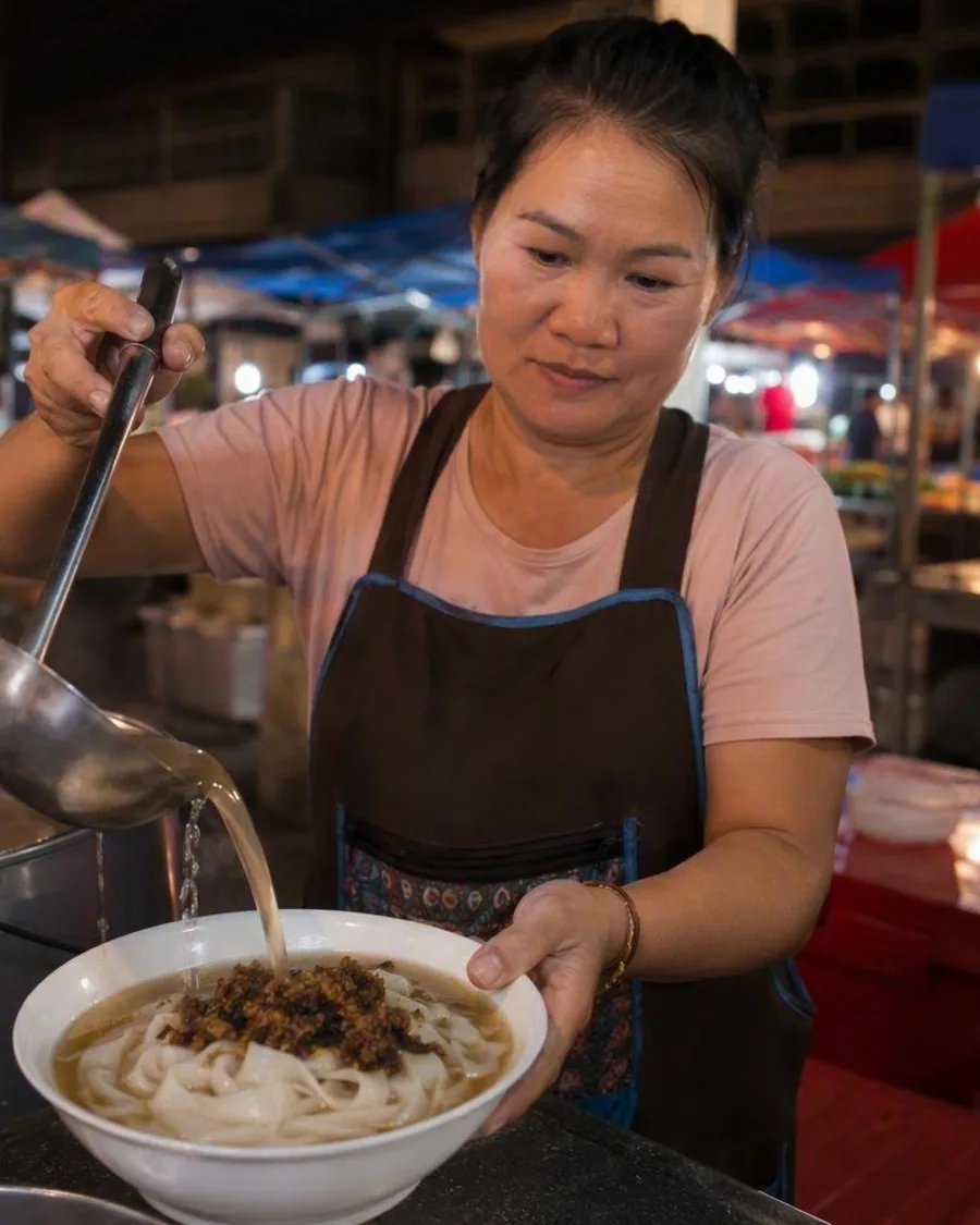
The night market is on the main street in the town centre, beside BCEL bank. It operates daily from 16:00 to 22:00, with food stalls, shared seating and a mix of prepared dishes and snacks.
Look for:
- Khao soi: soft, cut rice noodles in broth with a savoury minced-pork, tomato and fermented-soybean mixture. This is not the coconut curry noodle dish found in northern Thailand.
- Grilled chicken and pork, served with sticky rice.
- Papaya salad, broth-based noodle soups and drinks.
The daytime Luang Namtha Market is a separate stop. Its food sections cover rice, fish, meat, vegetables, herbs and prepared dishes; it is a useful place to see the ingredients behind the town’s everyday cooking.
See the town and valley
The Luang Namtha Museum, roughly 500 metres north of the night market, gives useful context before heading into the valley. Its displays include clothing, agricultural tools, household objects, Buddha images, bronze drums, ceramics and textiles. It is generally open Monday to Friday, 08:00–16:00.
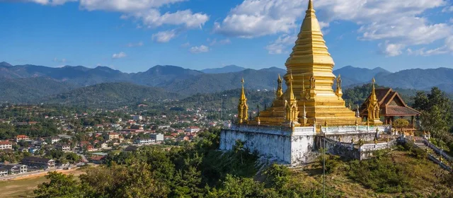
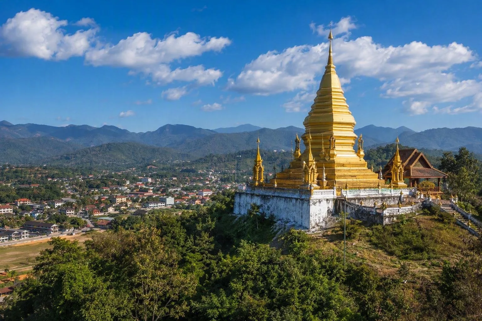
For the clearest overview, walk or cycle about 1 km from the centre to Luang Namtha Stupa. Rebuilt in 2004, the hilltop stupa overlooks the town and valley; there is no entrance fee.
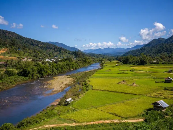
The Luang Namtha Valley Route works well by bicycle or motorbike. The shorter circuit takes around one to two hours; longer loops run through rice fields, vegetable gardens and villages, crossing the Nam Tha River. Road conditions on unpaved stretches vary with the season.
Beyond town
A half-day ride can combine the stupa with nearby village stops. Ban Nam Dee is known for bamboo-paper making and indigo dyeing, with a short forest walk to Nam Dee Waterfall. Phieng Ngam has a weaving centre, while Nam Ngaen is associated with traditional rice-spirit distilling.
These are lived-in communities, not open-air museums. Ask before photographing people, homes or work, and do not touch spirit gates or village religious objects.
Getting there and timing
Luang Namtha is reached by road, air connections when scheduled, and rail via the wider northern transport corridor. Buses link the town with northern Lao destinations; the Boten border crossing connects the province with China.
For town sightseeing, a bicycle is enough. The valley is relatively flat, but routes outside it climb quickly. The wet months bring greener fields and muddier unpaved roads; low water can also limit some river trips from December to June.
From the magazine
Stories about Luang Namtha
Editorial stories linked directly to Luang Namtha.
Routes from our editors
Travel through Luang Namtha
Editorial routes connecting Luang Namtha with other countries, cities and hotspots.
No routes through Luang Namtha have been published yet.
More in Laos
Related hotspots
Other cities, nature areas and places within Laos.
Nam Tha Valley
1 linked stories and routes
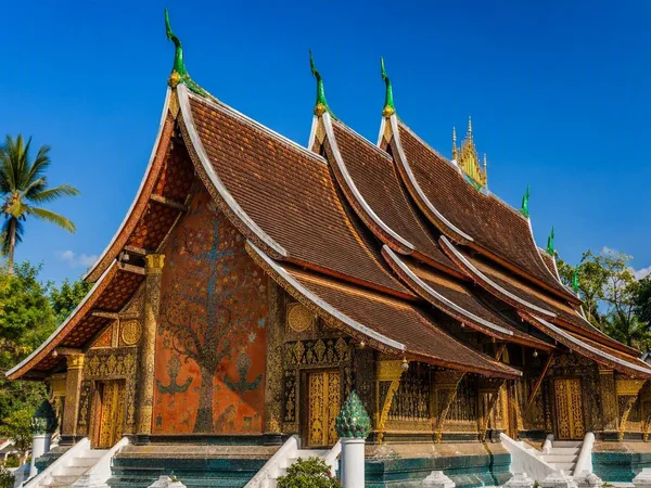
Luang Prabang
1 linked stories and routes
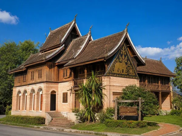
Muang Sing
1 linked stories and routes
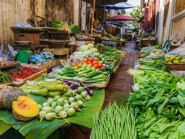
Talad Sao Morning Market
1 linked stories and routes
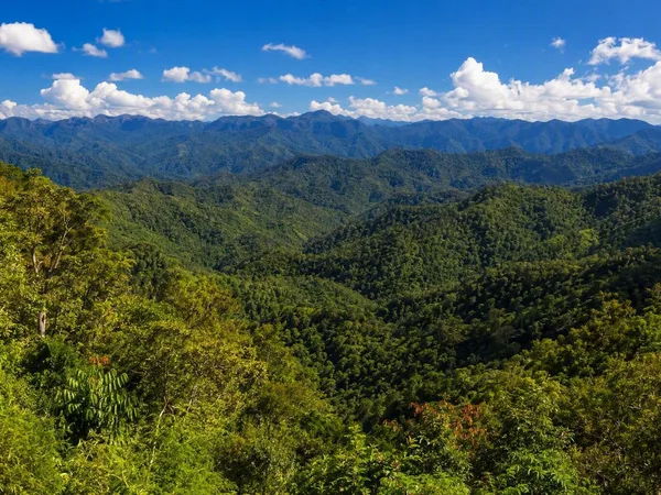
Luang Namtha province
1 linked stories and routes
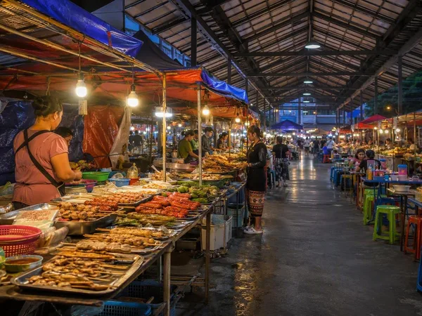
Luang Namtha Night Market
1 linked stories and routes
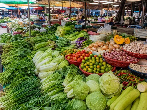
Luang Namtha Market
0 linked stories and routes