
Nature area · Laos
Nam Tha Valley
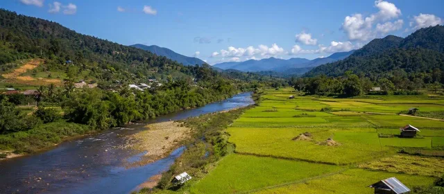
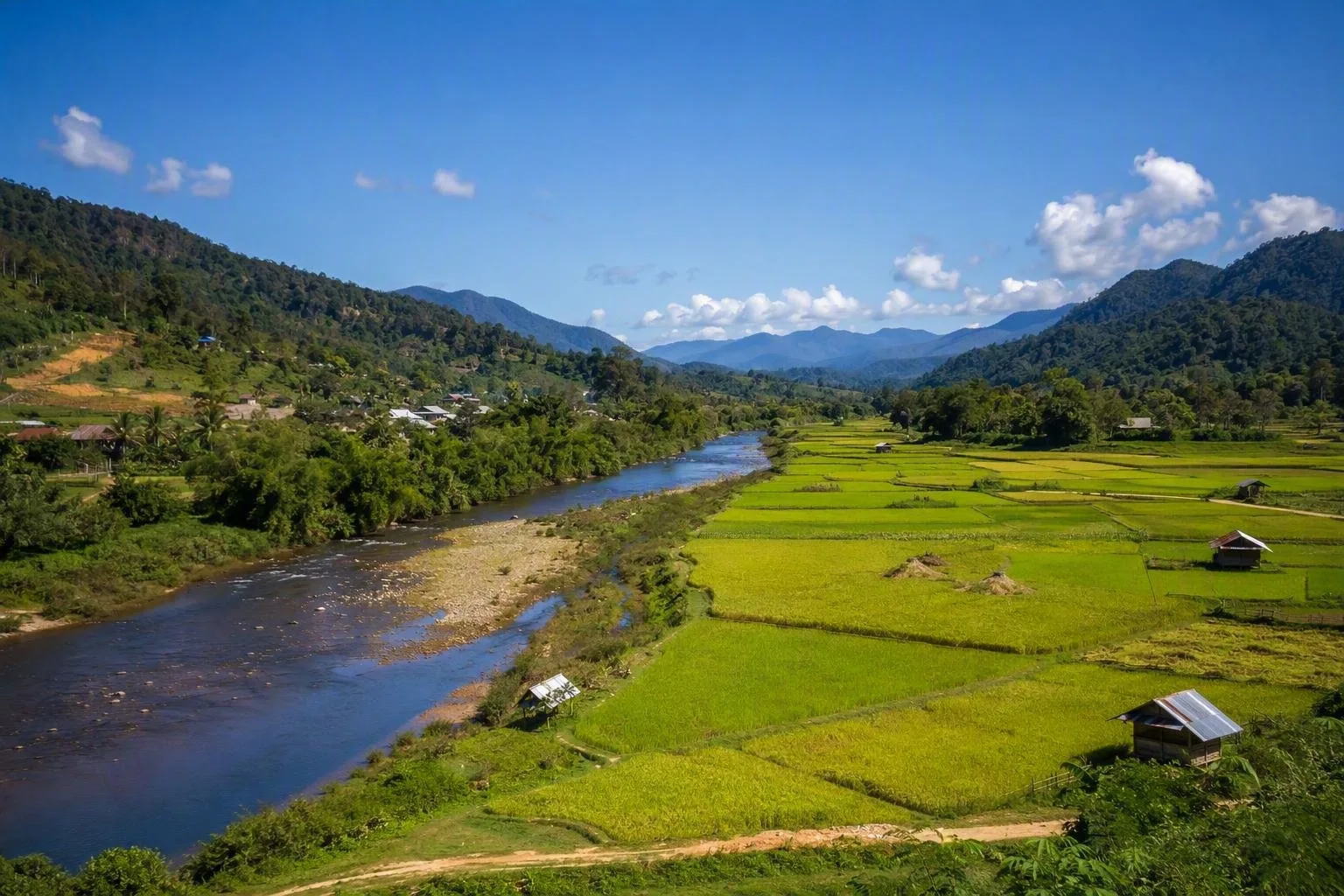
The Nam Tha Valley is the cultivated river plain around Luang Namtha in northwestern Laos. Rice fields, village roads and low mountains make it the practical rural counterpoint to the town and the nearby Nam Ha protected area.
Orientation
The Nam Tha Valley centres on Luang Namtha Town in northern Laos, where the Nam Tha River runs through a broad patchwork of rice fields and villages before continuing south towards the Mekong. This is an agricultural landscape rather than a single gated attraction: come to cycle its lanes, visit village craft centres and see how the river supports lowland farming.
The valley is distinct from the larger Nam Tha River Basin, which extends through Luang Namtha, Oudomxay and Bokeo provinces. Around town, the scale is manageable and mostly flat.
The valley route
The signed Luang Namtha Valley Route is the simplest way to explore. The full loop is about 35 km and usually takes two to four hours by bicycle or motorbike; a shorter northern circuit takes one to two hours.
Useful stops include:
- Ban Nam Dee: a Lanten village with indigo-dyed cotton, bamboo-paper making and a nearby waterfall.
- Nam Thoung: Tai Lue village known for vegetable growing; the route passes rice fields and crosses the Nam Thoung River on a bamboo bridge.
- Ban Phieng Ngam: Tai Daeng and Tai Khao weaving village with a handicraft centre.
- Ban Nam Ngaen: known for traditional rice-spirit distilling and weaving.
Start on Luang Namtha’s main street, where the route map and signs lead out of town. A mountain bike is the sensible choice for the full circuit: several stretches are unpaved, and the dirt-road section via Thoung Dee is dry-season only.
Lookouts and landmarks
For the valley’s clearest overview, climb to Poum Pouk Stupa near Nam Ngaen. The original monument was built in 1628; the present stupa stands beside the earlier ruins and looks over the fields and surrounding ridges.
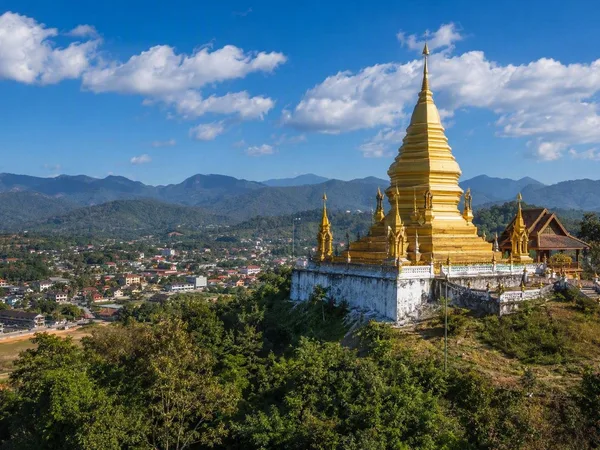
Luang Namtha Stupa, on a hill at the north end of town, is a shorter stop with views across the plain. Luang Khone Temple, at Luang Village, is the district’s oldest temple and fits naturally into the southern part of the loop.
Food and farming
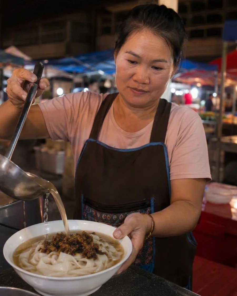
The river’s water supports rice cultivation, including more than 4,000 hectares of rice farms within the wider basin. In town, the evening market turns those staples into quick meals: look for sticky rice, grilled meat, noodle soups and papaya salad. It runs daily from 16:00 to 22:00 on the main street near BCEL Bank.
Village etiquette
These are working communities, not open-air museums. Use village information boards to understand each stop, ask before photographing people or entering homes, and stay on public paths. At Nammat Mai, do not touch the village spirit gate; its swing is used only during festivals. Sacred forests and the Tai Dam cemetery between Ban Poung and Ban Pasak are best viewed quietly from the road.
From the magazine
Stories about Nam Tha Valley
Editorial stories linked directly to Nam Tha Valley.
Routes from our editors
Travel through Nam Tha Valley
Editorial routes connecting Nam Tha Valley with other countries, cities and hotspots.
No routes through Nam Tha Valley have been published yet.
More in Laos
Related hotspots
Other cities, nature areas and places within Laos.
Luang Namtha
1 linked stories and routes
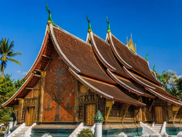
Luang Prabang
1 linked stories and routes
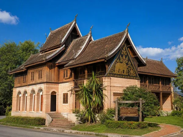
Muang Sing
1 linked stories and routes
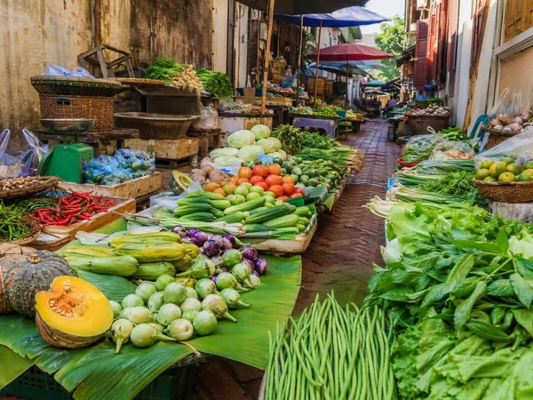
Talad Sao Morning Market
1 linked stories and routes
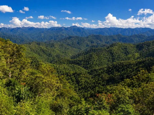
Luang Namtha province
1 linked stories and routes
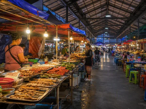
Luang Namtha Night Market
1 linked stories and routes
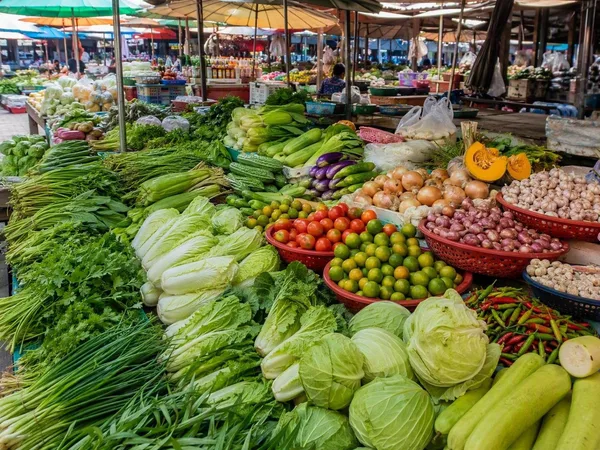
Luang Namtha Market
0 linked stories and routes