
Province · Laos
Luang Namtha province
Luang Namtha province is a mountainous border province in northwestern Laos, meeting China and Myanmar. Its main draw is Nam Ha National Protected Area: forest trekking, river travel and village-based stays across a culturally diverse rural landscape.
Orientation
Luang Namtha is Laos’s northwestern border province, between Yunnan in China, Shan State in Myanmar, Bokeo and Oudomxay. The provincial capital, Luang Namtha town, is the practical base for transport, guides, lodging and supplies. Beyond it, the province spreads across five districts: Namtha, Muang Sing, Muang Long, Vieng Phoukha and Nalae.
This is a large, mountainous province rather than a single compact sight. Build an itinerary around one district or a guided route, rather than trying to cover it all from town in a day.
Nam Ha: the core landscape
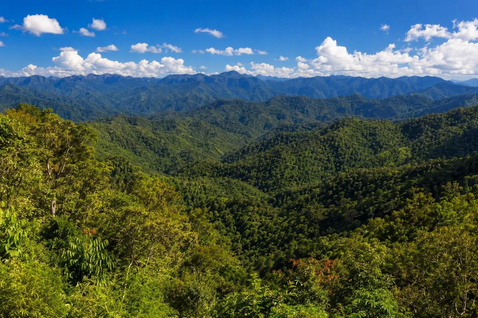
Nam Ha National Protected Area runs through the province’s mountainous interior, from the Chinese border towards Bokeo. It covers roughly a quarter of the province and combines mixed deciduous forest, evergreen forest, grassland, streams and high ridges; peaks reach above 2,000 metres.
The Nam Tha, Nam Fa and Nam Long rivers drain towards the Mekong. Trekking, kayaking, rafting and mountain biking are the established ways to experience the protected area. Wildlife includes elusive large mammals and a rich birdlife, but treat any animal sighting as a possibility, not an expectation.
Important: overnight treks and treks inside Nam Ha must be arranged through a tour company. This is not terrain for an improvised independent hike.
Villages, crafts and local context
The province’s communities include Akha, Khmu, Tai Lue, Tai Dam, Tai Daeng, Tai Khao, Hmong, Lahu, Tai Yuan and Iu-Mien/Yao people, alongside other Lao groups. Farming, trade and craft production shape daily life across the valleys and uplands.
Choose village visits that are part of a locally arranged trek, homestay or craft stop. In and around Luang Namtha town, the provincial museum displays textiles, agricultural tools, household objects, bronze drums and Buddha images. Phieng Ngam, about 6 km from town, is a weaving village where the handicraft centre introduces local textile work.
Ask before photographing people, homes, religious places or craft work. A village is a living community, not an open-air exhibit.
Getting in and moving around
Luang Namtha town is the transport hub. The province is reached by air, bus and rail; road links connect it with Houayxay, Luang Prabang and the Boten crossing with China. Buses also run from the town to northern districts, though services are less useful for reaching trailheads.
For day trips near town, bicycle or motorbike can work on suitable roads. For forest routes, river activities and remote villages, use the transport included with a licensed local operator. Allow more time than the map suggests: mountain roads, weather and distances between settlements all slow travel.
Seasons and timing
The rainy season runs roughly from May to September. Trails become muddy, streams rise and road access can be disrupted, while the forest is at its greenest. The drier months are generally easier for trekking and road travel; December to February can bring cool mornings, fog and temperatures near 5°C in higher areas.
Pack footwear with grip, rain protection in the wet season and a warm layer for early starts in the cool season. Plan at least two or three nights if you want both a Nam Ha activity and time beyond the provincial capital.
From the magazine
Stories about Luang Namtha province
Editorial stories linked directly to Luang Namtha province.
Routes from our editors
Travel through Luang Namtha province
Editorial routes connecting Luang Namtha province with other countries, cities and hotspots.
No routes through Luang Namtha province have been published yet.
More in Laos
Related hotspots
Other cities, nature areas and places within Laos.
Luang Namtha
1 linked stories and routes
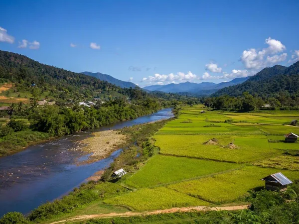
Nam Tha Valley
1 linked stories and routes
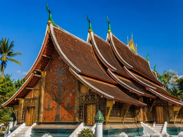
Luang Prabang
1 linked stories and routes
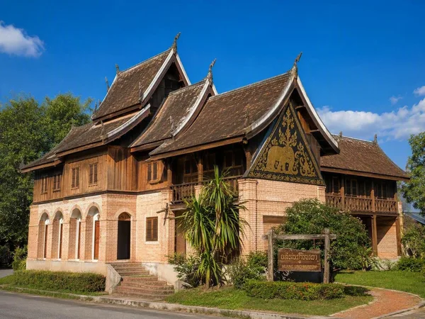
Muang Sing
1 linked stories and routes
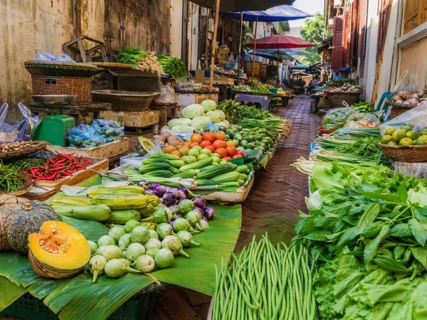
Talad Sao Morning Market
1 linked stories and routes
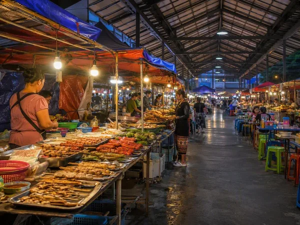
Luang Namtha Night Market
1 linked stories and routes
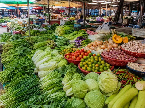
Luang Namtha Market
0 linked stories and routes