City · Bolivia
La Paz
La Paz is Bolivia’s seat of government, built through a deep Andean basin beneath the Altiplano. Its steep neighbourhoods, civic centre and aerial cable-car network make the city’s geography part of everyday travel.
Read the city’s shape
La Paz occupies a narrow, deep valley in the Bolivian Andes, with districts spread across slopes and ravines. The city sits roughly between 3,200 and 4,100 metres above sea level; steep streets are not a side detail but the basic logic of getting around.
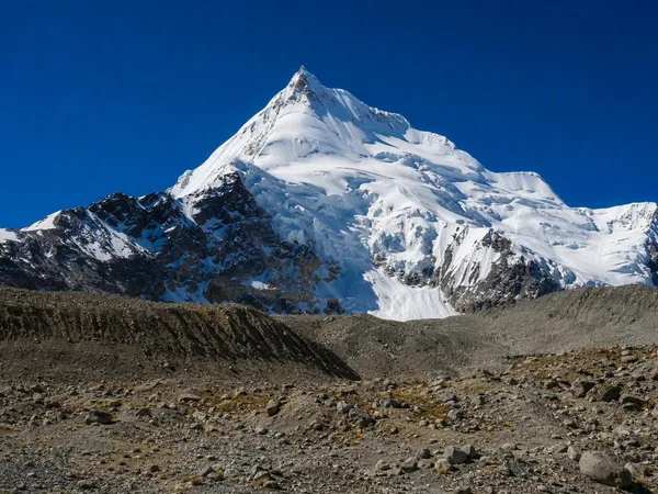
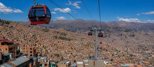
The central bowl is the useful starting point for an urban visit. From there, the city rises in every direction, while El Alto begins on the more level Altiplano above the western rim. On clear days, Illimani forms the distant snowy landmark south-east of the basin.
Start in the historic centre
Plaza Murillo is the civic core, framed by the Metropolitan Cathedral and the main institutions of government. It is a practical anchor for walking the old centre rather than a destination to rush through.
Work outward on foot to:
- Basilica of San Francisco, a major colonial church near the commercial centre.
- Calle Jaén, a short preserved colonial street with museums.
- Mercado de las Brujas, where stalls sell ritual goods, herbs and crafts.
- Calle Sagárnaga, for shops, cafés and access to the uphill streets around the market.
Expect gradients, uneven paving and short distances that take longer than a map suggests.
Use Mi Teleférico as transport
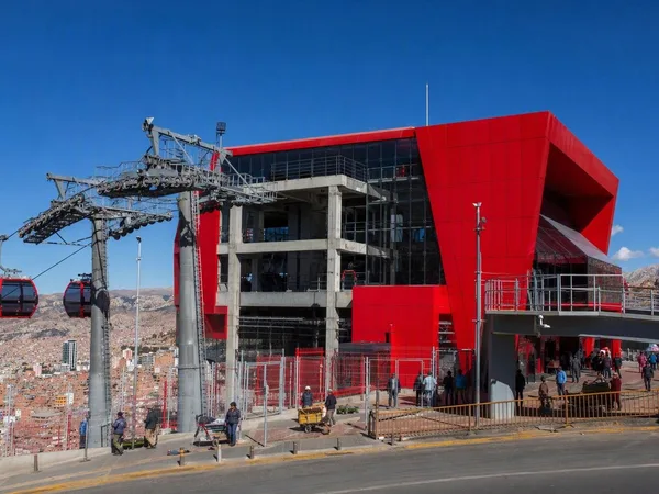
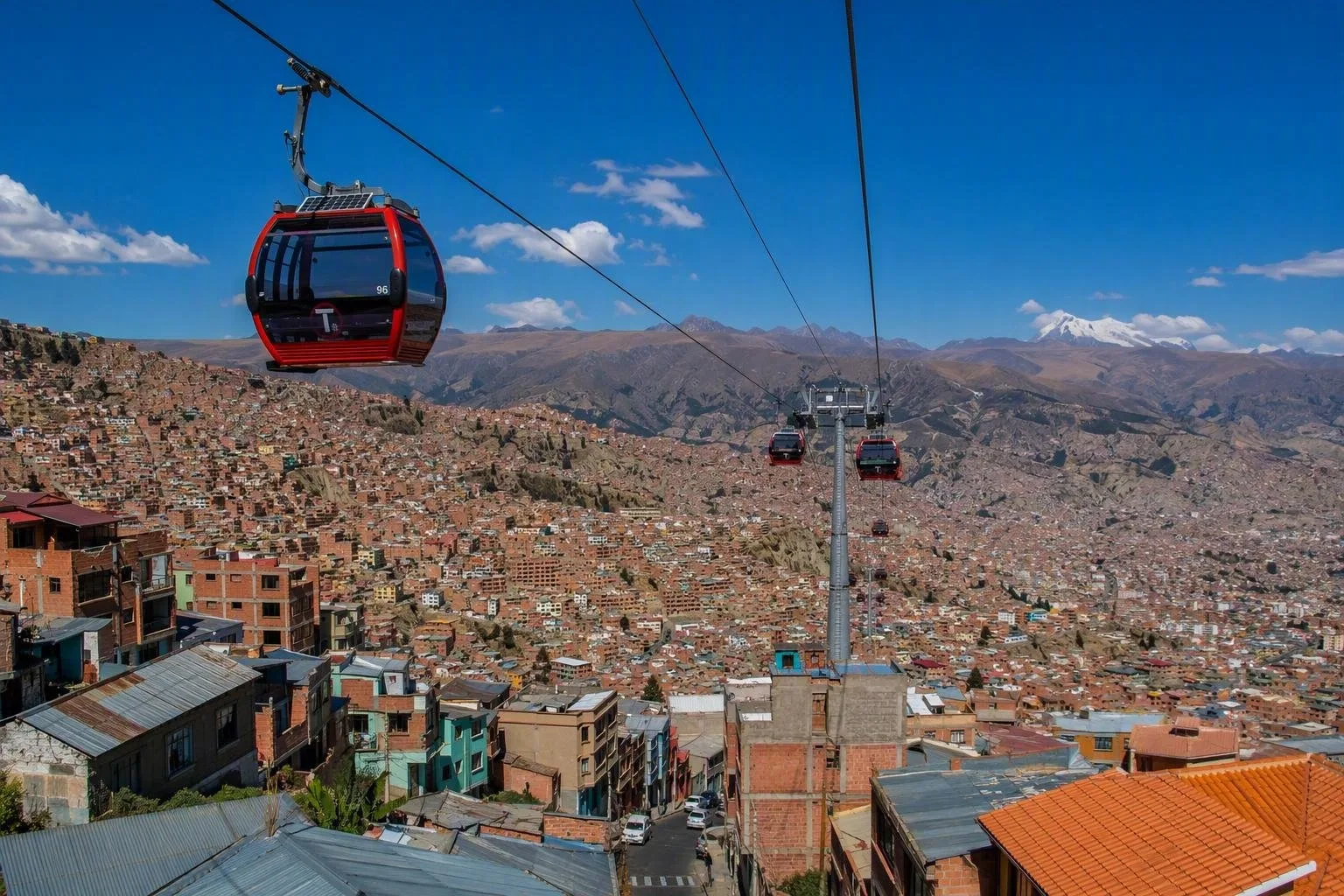
Mi Teleférico is the working aerial transit network linking La Paz with El Alto, not a sightseeing loop. Its ten lines and 26 stations make it the clearest way to understand the city’s vertical layout.
For the direct basin-to-plateau ride, take the Red Line from Central to 16 de Julio. It runs via Cementerio, covers 2.4 km in about 11 minutes, and arrives beside El Alto’s commercial core. Central station is on the site of the former railway station; at 16 de Julio, change indoors to the Blue or Silver lines.
A standard first ride costs Bs 3; each transfer costs Bs 2. Cabins run continuously, roughly every 12 seconds. Services generally run Monday–Saturday 06:00–23:00 and Sunday/public holidays 07:00–21:00.
See La Paz from above
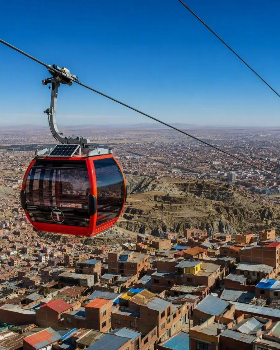
The Red Line provides the decisive wide view: roofs and streets compress into a dense slope as the cabin climbs from La Paz toward El Alto. For another high-level perspective, use the Yellow and Silver lines to reach the Mirador station area in Ciudad Satélite.
At 16 de Julio, the large open-air market takes over dozens of blocks on Thursdays and Sundays. The station is about two minutes’ walk from its edge. On market days, keep valuables secure in the dense crowds.
Handle the altitude
The thin air is the city’s main practical constraint. Arrive gently, keep the first day light, drink water and avoid forcing a steep walk before you have adjusted. Days can be intensely sunny and evenings turn cold quickly; carry sun protection and a warm layer.
From the magazine
Stories about La Paz
Editorial stories linked directly to La Paz.
Routes from our editors
Travel through La Paz
Editorial routes connecting La Paz with other countries, cities and hotspots.
No routes through La Paz have been published yet.
More in Bolivia
Related hotspots
Other cities, nature areas and places within Bolivia.