City · Bolivia
El Alto
El Alto is the high-altitude city on the Altiplano immediately above La Paz, Bolivia. It is a working commercial city best understood through La Ceja, the Feria 16 de Julio, Mi Teleférico and its Neo-Andean cholets.
The high plateau above La Paz
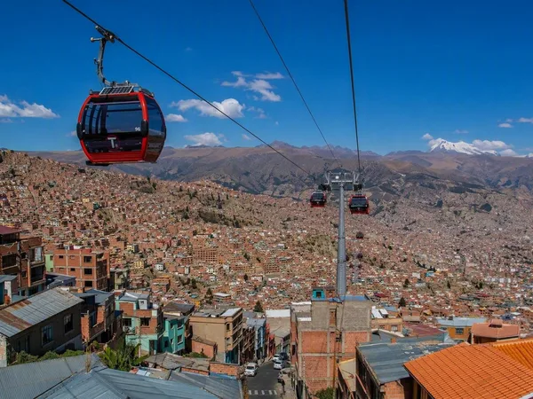
El Alto stands on the Altiplano at roughly 4,000 metres, directly above the steep basin of La Paz. The change in terrain is fundamental: La Paz falls away below the plateau, while El Alto spreads across a broad, comparatively level urban plain.
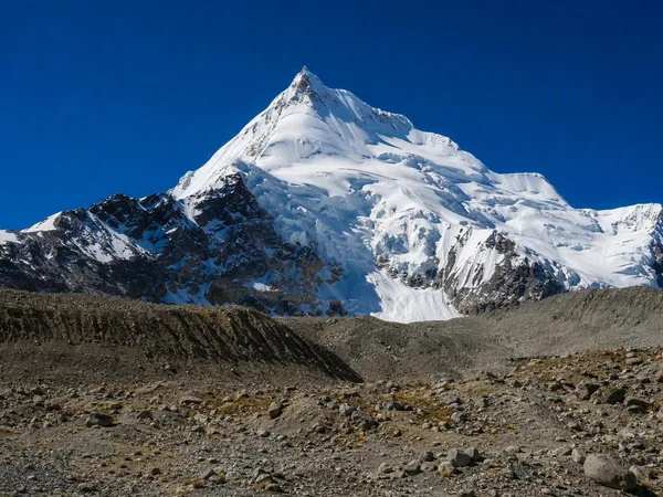
This is a large city in its own right, not a suburb to rush through. Its streets are shaped by trade, transport and Aymara urban culture. The plateau edge near La Ceja provides the clearest sense of the dramatic drop towards La Paz; from the viewpoints around Estación 16 de Julio, Illimani may be visible beyond the valley.
Arrive by cable car
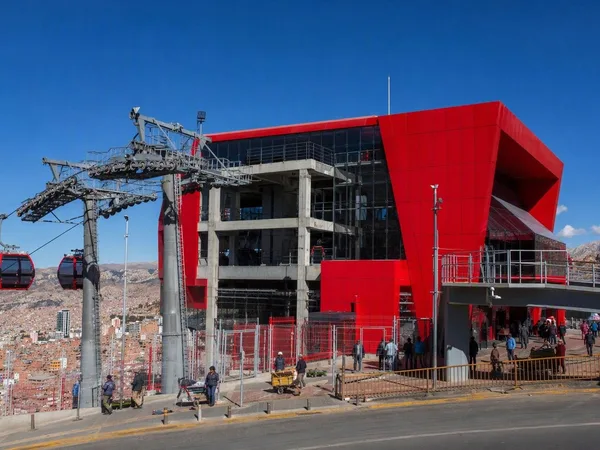
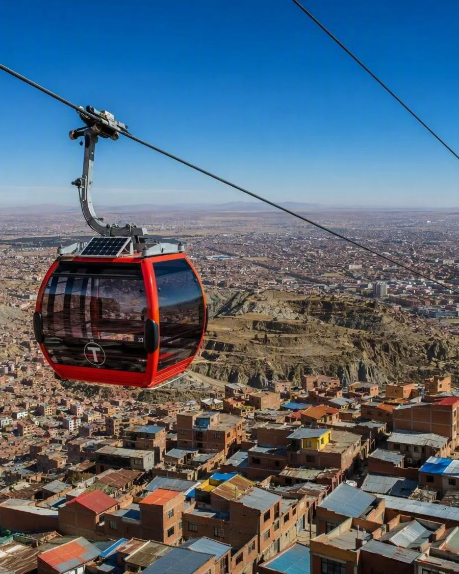
The most direct approach from central La Paz is Mi Teleférico’s Red Line. It runs from Central to 16 de Julio via Cementerio: 2.4 km and about 11 minutes, with no change required. The arrival station is also called Jach'a Qhathu in Aymara.
At 16 de Julio, the Red, Blue and Silver lines meet inside the station. It is a practical base for the commercial centre and for continuing across El Alto. Minibuses and trufis fan out from La Ceja, but routes are local and can be difficult to decode without asking before boarding.
La Ceja and the Feria 16 de Julio
La Ceja is the city’s transport and trading core: dense streets of shops, street food, minibuses and shared taxis at the plateau rim. Start here to understand El Alto’s pace rather than looking for a conventional historic centre.
The Feria 16 de Julio, a short walk from the cable-car station, occupies dozens of blocks on Thursdays and Sundays. It is a vast open-air market where goods range from food and clothing to tools, electronics and household items.
- Go early for easier movement through the lanes.
- Carry only what you need and keep valuables secured in the market crowds.
- Ask before photographing vendors or people.
Read the city through its buildings
Look beyond the exposed-brick streetscape for cholets, the colourful mixed-use buildings associated with Neo-Andean architecture. Their facades use strong geometric forms and colour linked to Aymara visual traditions and Tiwanaku references.
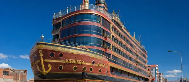
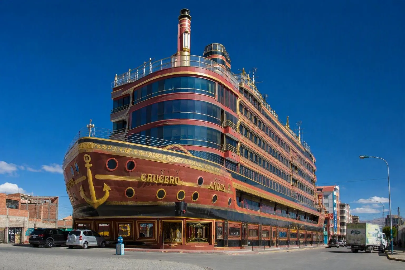
A typical cholet combines commerce and event space on lower floors, rental homes above, and the owner’s dwelling at the top. The Crucero de los Andes, also known as El Titanic, is a prominent example: its upper structure is shaped like a ship. These are working private buildings, so admire façades from public streets and do not assume interior access.
High altitude and street conditions
El Alto’s elevation can affect anyone arriving straight from lower ground. Keep the first day light, walk slowly and stay hydrated. The plateau is exposed: sun, wind and cold can all be intense within a day.
Crowds, demonstrations and roadblocks can disrupt local transport with little warning. Avoid protests, do not attempt to cross roadblocks, and use established transport or a pre-arranged taxi after dark.
From the magazine
Stories about El Alto
Editorial stories linked directly to El Alto.
Routes from our editors
Travel through El Alto
Editorial routes connecting El Alto with other countries, cities and hotspots.
No routes through El Alto have been published yet.
More in Bolivia
Related hotspots
Other cities, nature areas and places within Bolivia.