Region · Bolivia
Bolivian Altiplano
The Altiplano is Bolivia’s immense high Andean plateau, running between the mountain ranges from Lake Titicaca country towards the salt flats of the southwest. Its basins, cities and open plains sit mostly around 3,650 metres or higher.
The high plateau
The Bolivian Altiplano is not a single town or park but a vast highland region in the western Andes. It lies between the Cordillera Occidental and Cordillera Oriental, with broad basins rather than one continuous flat surface. The terrain changes markedly from the relatively greener Lake Titicaca basin in the north to dry, mineral-rich salt flats and volcanic country in the south.
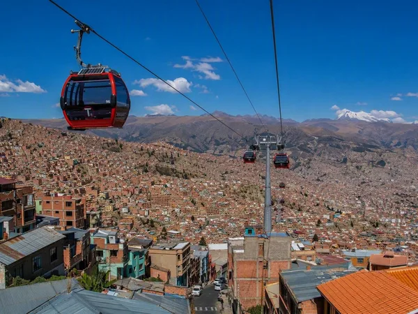
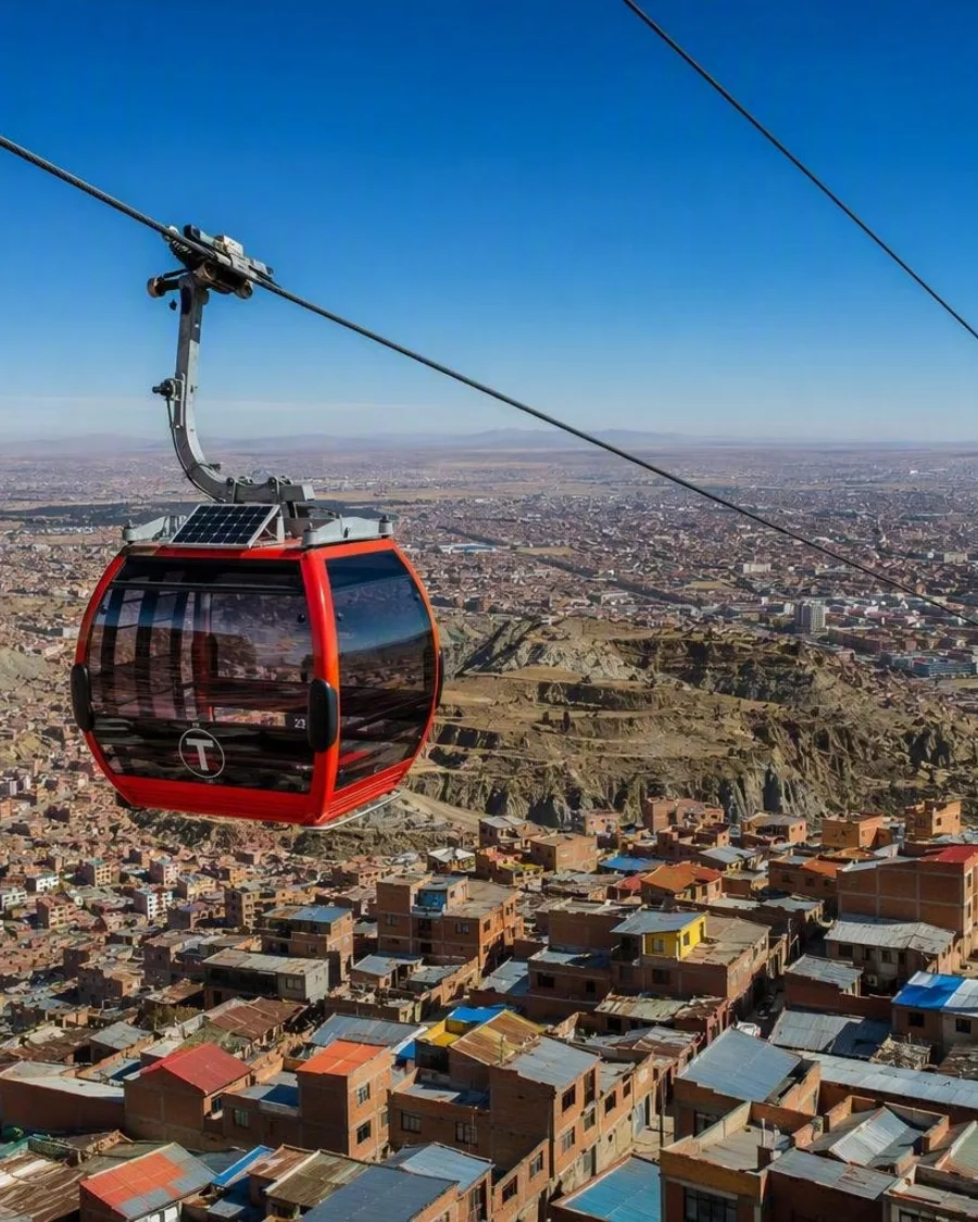
This is altitude on a continental scale. La Paz sits in a chasm below the plateau rim, while El Alto, Oruro, Copacabana and Uyuni provide practical urban bases on or beside the high plain.
Build a route around its landmarks
The region is best understood through a north-to-south sequence rather than as a quick detour from La Paz.
- Northern Altiplano: Lake Titicaca, Copacabana and Isla del Sol bring water, cultivated fields and lakeside settlements to the plateau.
- Tiwanaku: Near the lake’s southern side, this monumental archaeological site is a key stop between La Paz and the wider plateau.
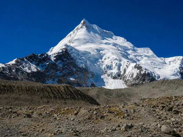
- Central plateau: Oruro is a useful transport city; farther west, Sajama country shifts the scene to high grassland and volcanoes.
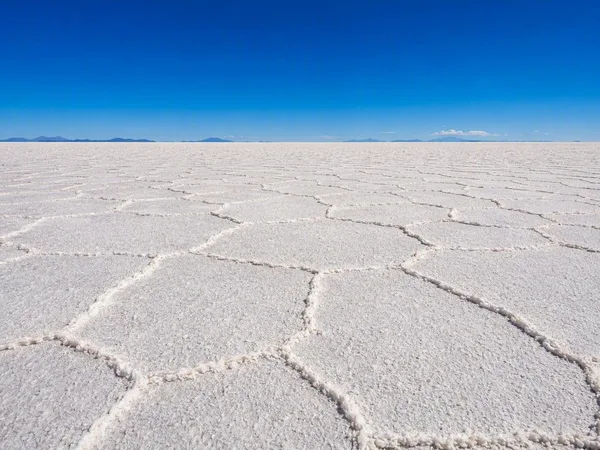
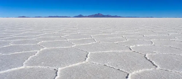
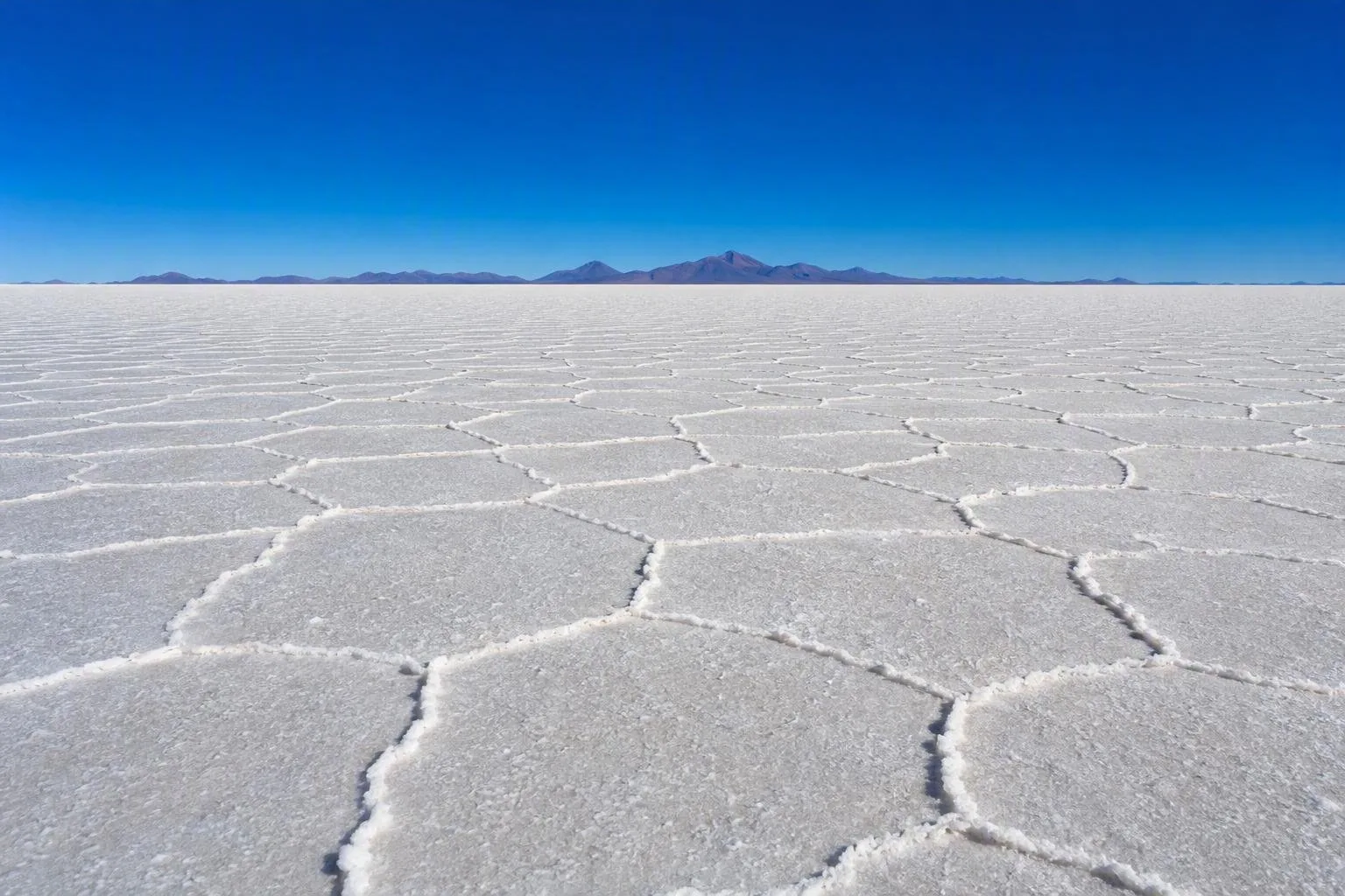
- Southern Altiplano: Uyuni is the base for the Salar de Uyuni, Salar de Coipasa and the more remote volcanic and lagoon landscapes towards Chile and Argentina.
Do not treat these as adjacent sights. Distances are long, and the landscape is the point of the journey.
Moving through the region
La Paz and El Alto are the usual northern gateways, with road connections leading west to Lake Titicaca and south through Oruro towards Uyuni. Use towns as resupply and overnight points; outside them, services thin out fast. The plateau’s eastern side has long been a north–south transport corridor, but a map can still make road distances look shorter than they feel.
For the southern salt flats and high-altitude lagoons, travel is generally organised from Uyuni in high-clearance vehicles. Those routes can involve rough tracks, isolated terrain and border areas, so they are not a casual self-drive extension of a city break.
Weather, light and altitude
The Altiplano is cold, dry and intensely sunny at high elevation. Rainfall is generally greater in the north and decreases southward. The wet season, broadly December to March, can leave water on the Uyuni salt flat; the dry season brings firmer surfaces and colder nights.
Altitude is the essential constraint. Arrive gently, keep the first day light, drink regularly and allow time before strenuous walks or higher routes. Headache, nausea and unusual fatigue can be signs that you need to stop ascending. Pack layers for sharp day-to-night temperature changes, plus sun protection: the thin air is unforgiving.
From the magazine
Stories about Bolivian Altiplano
Editorial stories linked directly to Bolivian Altiplano.
Routes from our editors
Travel through Bolivian Altiplano
Editorial routes connecting Bolivian Altiplano with other countries, cities and hotspots.
No routes through Bolivian Altiplano have been published yet.
More in Bolivia
Related hotspots
Other cities, nature areas and places within Bolivia.