Region · Germany
Ruhr
The Ruhr is Germany’s largest urban region: a chain of cities in North Rhine-Westphalia shaped by coal, steel and their afterlives. Duisburg, Essen, Bochum and Dortmund are its principal gateways.
Know the region
The Ruhr—Ruhrgebiet, Ruhrpott or simply the Revier—is not one city. It is a polycentric urban region of 53 municipalities between the Ruhr and Lippe rivers, with the Rhine at its western edge. City boundaries often dissolve into continuous streets and suburbs, while parks, farmland and former industrial land interrupt the built-up core.
Use a city as your base rather than trying to “do the Ruhr” from one landmark. Essen is practical for Zollverein and the central-western Ruhr; Dortmund suits the east; Duisburg puts the Rhine harbour and Landschaftspark Duisburg-Nord within reach; Bochum is central for the mining museum and theatre.
Read the industrial landscape
Coal and steel drove the Ruhr’s 19th- and 20th-century growth. The industry left a working map of pithead towers, coke ovens, blast furnaces, rail corridors, workers’ settlements and canal infrastructure. Many major sites now hold museums, exhibitions, sport or public parks; the fabric of the industrial landscape remains the point.
Start with one substantial site rather than treating monuments as roadside photo stops:
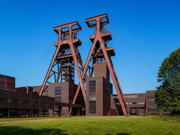
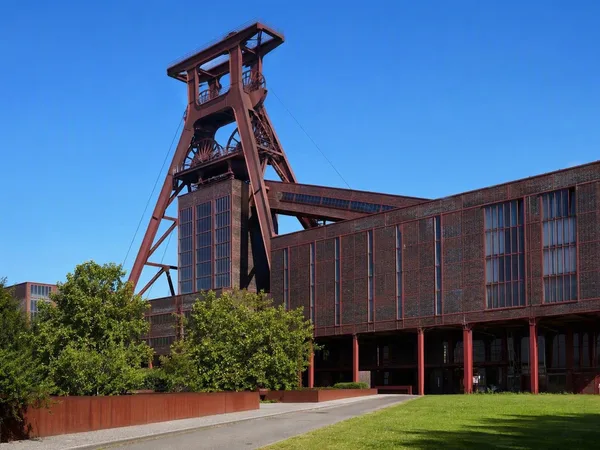
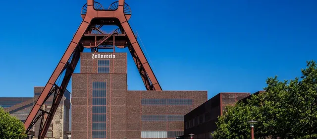
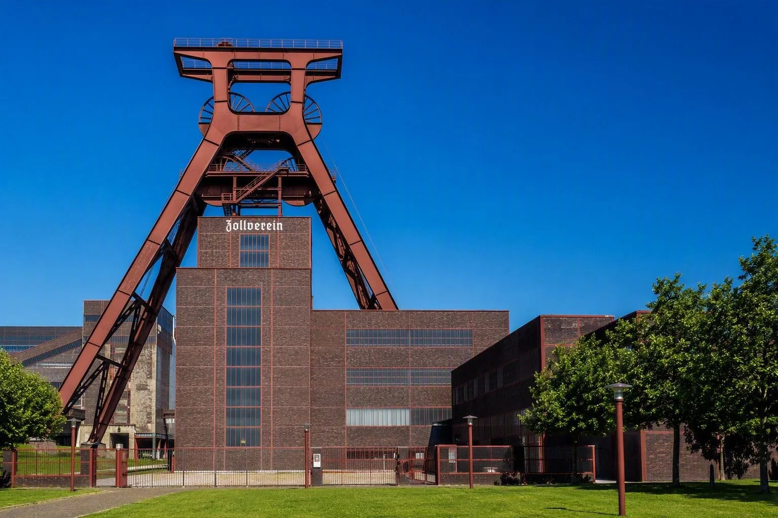
- Zollverein, Essen: UNESCO-listed coal mine and coking plant, with the Ruhr Museum in the coal washery.
- Landschaftspark Duisburg-Nord: a former ironworks reworked as a public landscape.
- German Mining Museum, Bochum: an efficient foundation for understanding mining.
- Dortmund U: a former brewery tower reused for art and exhibitions.
The 400-kilometre Route of Industrial Heritage links 54 key sites. It is best used as a framework for a chosen corridor, not as a checklist.
Green routes and viewpoints
The Ruhr is more than factories. Former rail alignments, canal banks and reclaimed ground form useful walking and cycling routes, while halden—mining spoil heaps—deliver the broad views that flat city streets do not. The regional cycling network runs for roughly 1,350 kilometres and includes paths on old railways, low-traffic roads and riverside routes.
For a compact contrast, pair a large industrial complex with a halden viewpoint or a waterside ride. Expect distances: the Ruhr stretches about 116 kilometres east to west, so a single day should focus on one city or adjacent pair.
Getting around
Long-distance trains serve Duisburg, Essen and Dortmund Hauptbahnhof. Regional and local rail, trams and buses connect the cities, but journeys commonly involve a change and sites can sit well beyond historic centres. Plan around the nearest station or tram stop, then allow time for the final walk.
A bicycle is especially effective on converted railway lines, but use it selectively: road conditions and elevation change around the southern Ruhr can be less forgiving than a schematic map suggests. For industrial sites, wear sturdy shoes; large former works have uneven surfaces, stairs and long internal distances.
Timing and access
Outdoor grounds and routes can be open beyond museum hours, while interiors, tower climbs and guided industrial tours run on their own schedules. Build an itinerary around one timed visit, then use the surrounding landscape, cafés or trails as flexible time. Industrial complexes are large: arrive early enough to explore the exterior as well as the exhibition rooms.
From the magazine
Stories about Ruhr
Editorial stories linked directly to Ruhr.
Routes from our editors
Travel through Ruhr
Editorial routes connecting Ruhr with other countries, cities and hotspots.
No routes through Ruhr have been published yet.
More in Germany
Related hotspots
Other cities, nature areas and places within Germany.