Nature area · Vietnam
Mường Hoa valley
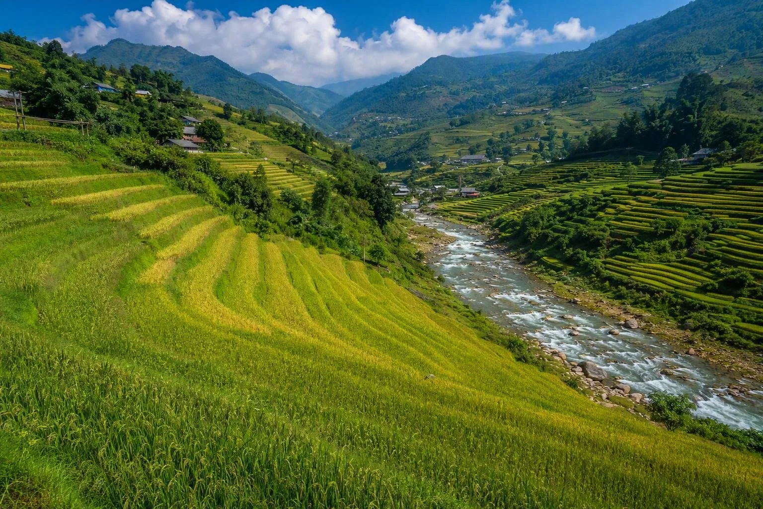
Mường Hoa valley is the terraced-rice landscape southeast of Sapa in northern Vietnam. Its working paddies, the Muong Hoa Stream and villages including Lao Chai and Ta Van form Sapa’s principal walking country.
The lay of the valley
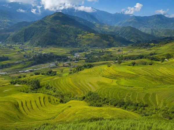
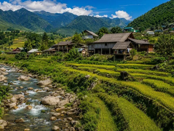
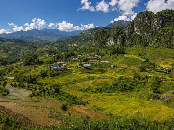
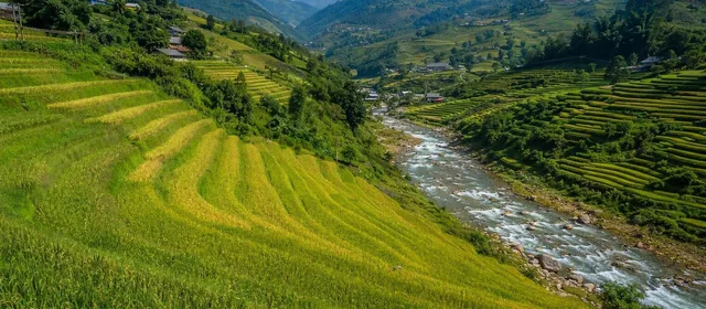
Mường Hoa runs southeast from Sapa through a long mountain corridor of terraced fields. The Muong Hoa Stream follows the valley floor while paddies climb the slopes on either side. Lao Chai and Ta Van are the best-known stops, but the landscape continues through smaller settlements and farmland.
This is working agricultural land, not a park. Low banks of earth and stone hold each plot level; channels, inlets and overflows move water downhill from paddy to paddy. Keep to paths and field edges rather than walking across planted terraces.
Rice seasons
The valley’s appearance follows one annual crop cycle.
- May–June: fields are flooded and planted. Water catches the sky between the newly set seedlings.
- July–August: rice thickens into green terraces; rain can make paths muddy and visibility poor.
- September–early October: rice ripens and harvesting begins. Higher and lower fields do not mature on exactly the same date.
- Late autumn and winter: expect brown stubble, cooler temperatures and frequent mist rather than green or gold paddies.
Choose the season for the landscape you want, not for a generic “best time.”
Walking the terraces
The standard valley walk links the slopes above Lao Chai with Ta Van, following tracks, village lanes and sections beside the stream. It is a proper hill walk: surfaces range from paved road to narrow, uneven earth paths, and descents become slick after rain. Sturdy shoes with grip are more useful than trainers with smooth soles.
A car or taxi can reach roadside viewpoints from Sapa; walking is the way to understand the scale of the irrigation and terraces. For longer routes or wet conditions, use a local guide: paths split repeatedly between fields and settlements.
Villages and local life
Black Hmong communities are closely associated with Lao Chai and the central terraces, while Giay families are prominent around Ta Van. These are residential villages with farms, homes and small accommodation businesses. Ask before photographing people or entering private space; buying directly made textiles or food is preferable to treating daily work as a display.
Ancient carved stones
The Sa Pa Ancient Stone Field lies within Mường Hoa valley, around the terraces and stream near Ta Van, Hau Thao, Su Pan and Lao Chai. More than 200 carved stones have been recorded, with motifs including fields, houses, human figures, spirals and geometric forms. Their makers and precise meaning remain unresolved.
The stones are protected heritage. Do not climb on them, make marks, or touch carvings where access controls prohibit it. Conservation restrictions can limit access to individual areas.
From the magazine
Stories about Mường Hoa valley
Editorial stories linked directly to Mường Hoa valley.
No stories about Mường Hoa valley have been published yet.
Routes from our editors
Travel through Mường Hoa valley
Editorial routes connecting Mường Hoa valley with other countries, cities and hotspots.
No routes through Mường Hoa valley have been published yet.
More in Vietnam
Related hotspots
Other cities, nature areas and places within Vietnam.