
Region · Indonesia
Raja Ampat
Raja Ampat is a vast island-and-sea region off the western tip of Papua in Southwest Papua, Indonesia. Its scattered reefs, rainforest islands and limestone formations are explored by boat, with Waisai on Waigeo as the main gateway.
The shape of Raja Ampat
Raja Ampat is an archipelago of roughly 610 islands, atolls and small reef formations in the Coral Triangle. Waigeo, Misool, Salawati and Batanta are its principal islands; most of the smaller islands are uninhabited. This is not a destination to “cover” from one place. Choose a base or a liveaboard route, then plan around the waters you can realistically reach.
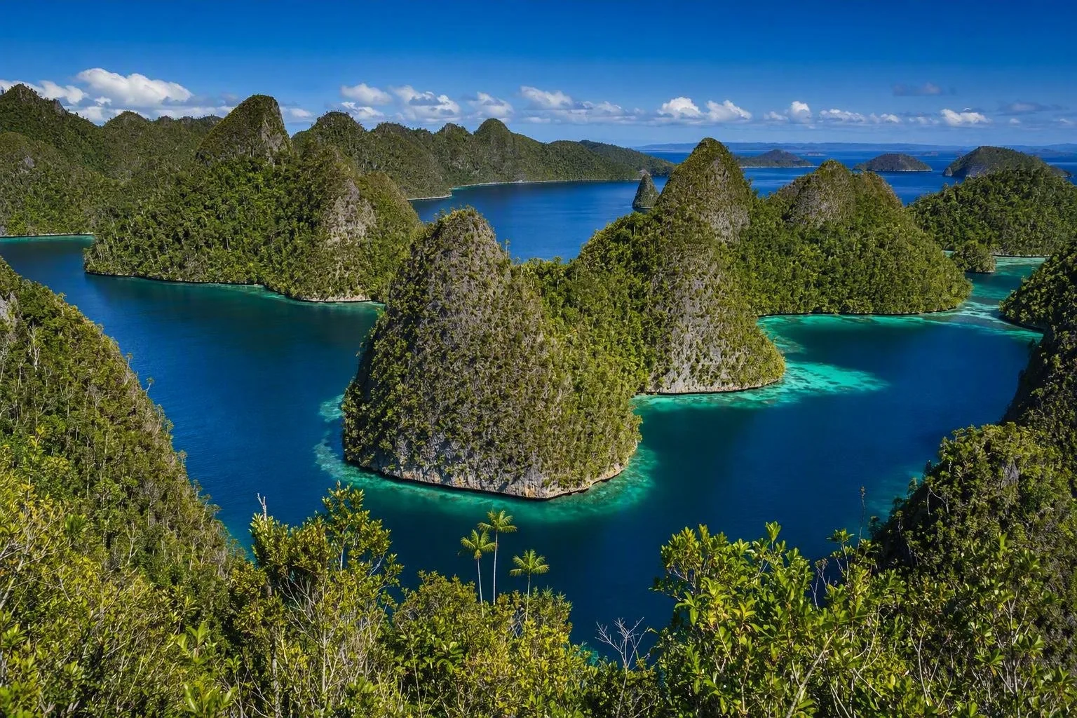
The landscape changes quickly: lowland and hill rainforest, mangroves, beaches, shallow reef flats and limestone karst all sit within the same wider region. Waisai, on Waigeo, is the practical service centre and the usual handover point for onward boats.
Choose a route, not a checklist
Waigeo and the Dampier Strait suit a land-based stay with access to island villages, house reefs and day trips. Kri, Gam and Arborek are common bases in this central zone.
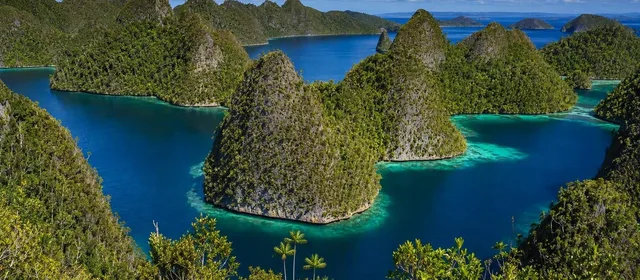
Piaynemo and Wayag are the signature karst landscapes: tightly packed limestone islands, channels and elevated viewpoints. They require dedicated boat time; Wayag is particularly remote.
Misool lies far south and is generally best treated as its own itinerary, whether through a resort or a liveaboard. Do not combine it casually with northern Raja Ampat on a short trip.
For time underwater, reefs are the core draw. The region supports more than 1,320 coral-reef fish species and over three quarters of known coral species. Snorkelling can work close to jetties and shallow reefs, but currents and site conditions determine where it is sensible to enter the water.
Reaching the islands
Fly to Sorong, then continue by ferry or fast boat to Waisai. That crossing only gets you to Waigeo: accommodation on Kri, Gam, Arborek and other islands normally requires a separate pickup boat. Arrange the final transfer with your host before leaving Sorong or Waisai.
Liveaboards work differently. They begin from a specified port and carry you between sites, making them the practical format for remote areas such as Wayag or Misool. Confirm the embarkation point and whether arrival-night accommodation in Sorong is needed.
Access and local protocol
Raja Ampat’s marine protected areas require an environmental-service card. Official purchase points operate at Sorong fishing harbour, Sorong’s public harbour and Waisai; a separate visitor entry arrangement may also apply. Keep proof of payment with you, as it may be checked while travelling between sites.
Village-owned attractions can charge their own local entry fee, separate from marine-area access. Carry rupiah for these payments and for boat transfers.
On the reef: use established moorings, maintain distance from coral and do not touch marine life. Follow any local closure or access instruction: customary marine management, including sasi closures, is part of how reefs and fishing grounds are protected.
Timing and trip length
The practical season depends on route and sea state rather than a single island-wide forecast. October to April is commonly the easier window for central and northern boat travel; longer crossings can be rougher in mid-year conditions.
Allow at least a week for one main zone after reaching Sorong. Add several days rather than rushing if your plan includes remote northern islands or Misool. Leave buffer time around ferry, flight and boat-transfer days; island transport is the structure of the trip, not an add-on.
From the magazine
Stories about Raja Ampat
Editorial stories linked directly to Raja Ampat.

Routes from our editors
Travel through Raja Ampat
Editorial routes connecting Raja Ampat with other countries, cities and hotspots.
No routes through Raja Ampat have been published yet.
More in Indonesia
Related hotspots
Other cities, nature areas and places within Indonesia.
Solo
1 linked stories and routes
Kampung Batik Laweyan
1 linked stories and routes
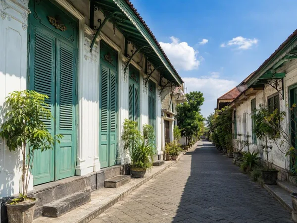
Kauman Batik Village
1 linked stories and routes
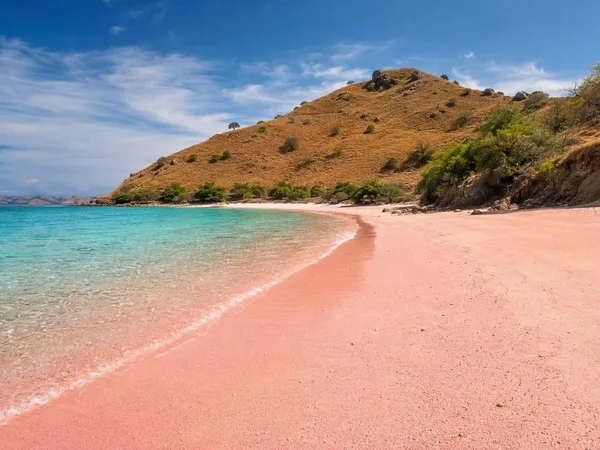
Pink Beach (Pantai Merah), Komodo Island
1 linked stories and routes
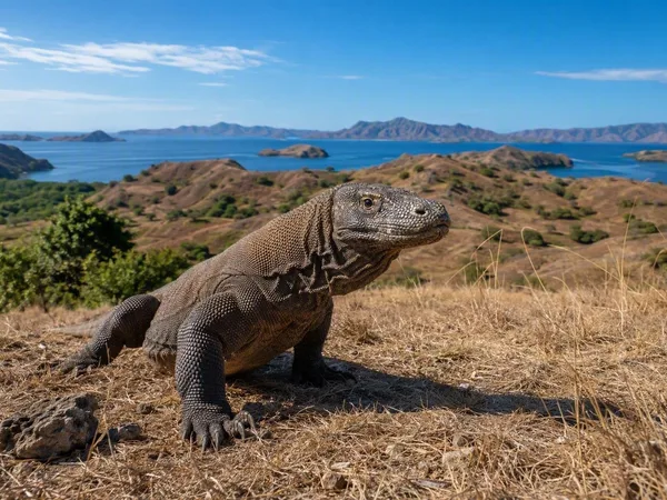
Komodo National Park
1 linked stories and routes
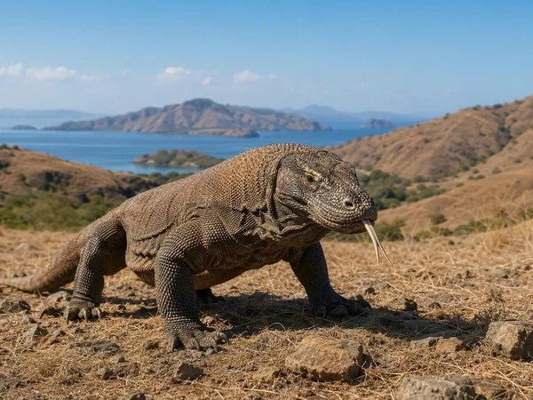
Komodo Island
1 linked stories and routes
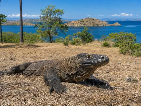
Rinca Island
1 linked stories and routes
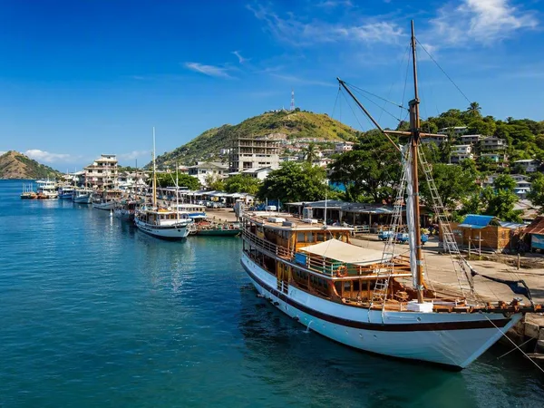
Labuan Bajo
1 linked stories and routes
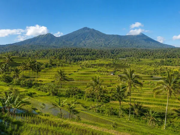
Jatiluwih Rice Terraces
1 linked stories and routes

Laweyan Batik Village
0 linked stories and routes
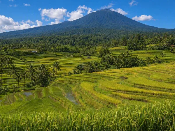
Bali
0 linked stories and routes
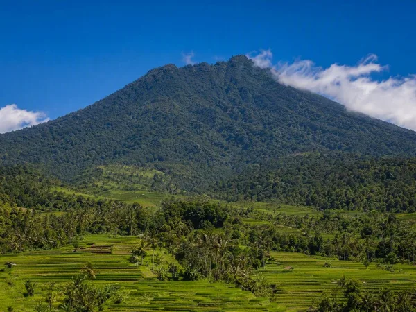
Mount Batukaru
0 linked stories and routes