
Mountain · Indonesia
Mount Batukaru
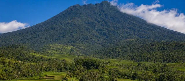
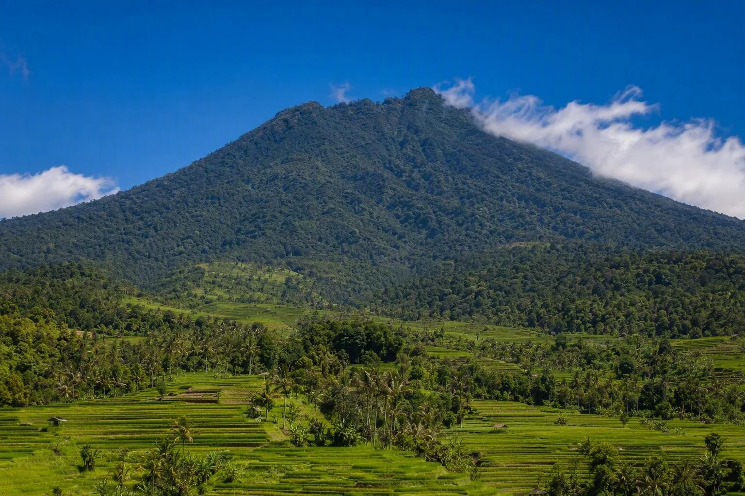
Mount Batukaru is a 2,276-metre mountain in Bali’s Tabanan highlands, immediately above the Jatiluwih rice-terrace landscape. Its forested slopes are the water catchment behind the terraces and lead to a sacred summit.
Orientation
Mount Batukaru rises to 2,276 metres in Tabanan Regency and is Bali’s second-highest mountain. From Jatiluwih, it is the high, forested mass above the cultivated slopes—not a viewpoint within the rice-terrace circuit. The mountain and the terraces belong to the same working landscape: forest catchments, springs, canals and irrigated fields.
The wider Catur Angga Batukaru cultural landscape is part of Bali’s World Heritage-listed subak landscape. Here, water moves downhill through canals, tunnels and weirs to the paddies; the mountain’s forested upper slopes help protect that supply.
What the mountain is for
Batukaru is a sacred mountain as well as a trekking destination. Pura Pucak Kedaton stands at the summit, while Pura Luhur Batukaru is on the southern slope. Treat shrines, offerings and ceremonies as religious practice rather than scenery.
For a grounded visit from Jatiluwih, the most useful experience is to read the mountain from the terraces: follow the contour of the fields, look uphill to the forest, and notice how water infrastructure continues between plots. Do not enter planted paddies or block narrow farm paths.
Hiking from the Jatiluwih side
A Jatiluwih-side route starts near Pura Luhur Bhujangga Waisnawa Gunung Sari, at roughly 930 metres. The climb continues from a cement track into forest and reaches the summit in about four to five hours; allow roughly three hours for the descent. This is a full, demanding mountain day, not an add-on to a short terrace walk.
Expect steep, humid and muddy ground, with denser vegetation higher up. The summit ridge is narrow in places and the forest can obscure orientation. Use a local guide familiar with the current route, start early, and carry water, food, rain protection, a warm layer and proper walking shoes. Leeches are common on wet sections.
Access and respect
Jatiluwih is the practical base for the eastern approach; the roads uphill are narrow and the final approach is not prominently signed. Arrange transport that can wait for a long hike rather than relying on a return ride at the trailhead.
Temple etiquette: dress modestly and follow local directions at every temple. A sarong may be required to enter temple grounds. Do not assume access during ceremonies, and never climb over walls or enter restricted shrine areas.
Timing: clearer conditions are more likely earlier in the day, while cloud and rain can build on the mountain. In the wet season, allow more time for slippery trails and reduced visibility.
From the magazine
Stories about Mount Batukaru
Editorial stories linked directly to Mount Batukaru.
No stories about Mount Batukaru have been published yet.
Routes from our editors
Travel through Mount Batukaru
Editorial routes connecting Mount Batukaru with other countries, cities and hotspots.
No routes through Mount Batukaru have been published yet.
More in Indonesia
Related hotspots
Other cities, nature areas and places within Indonesia.
Solo
1 linked stories and routes
Kampung Batik Laweyan
1 linked stories and routes
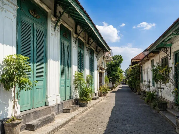
Kauman Batik Village
1 linked stories and routes
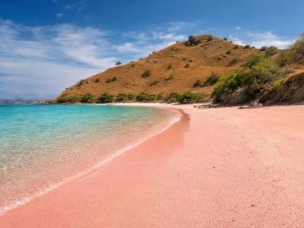
Pink Beach (Pantai Merah), Komodo Island
1 linked stories and routes
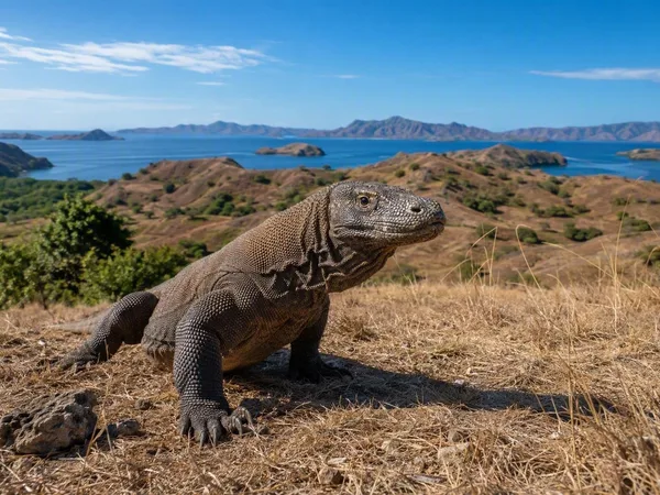
Komodo National Park
1 linked stories and routes
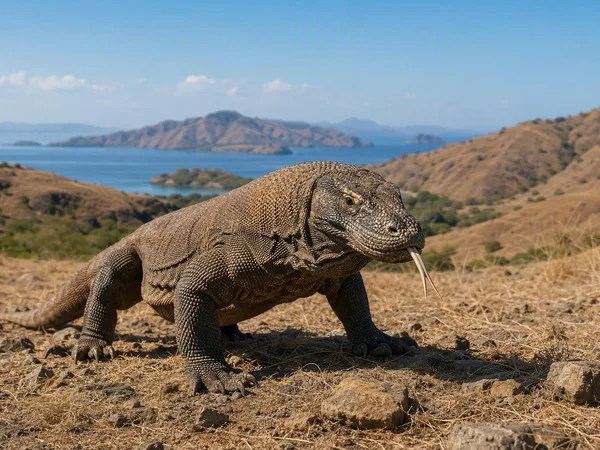
Komodo Island
1 linked stories and routes
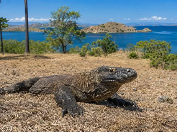
Rinca Island
1 linked stories and routes
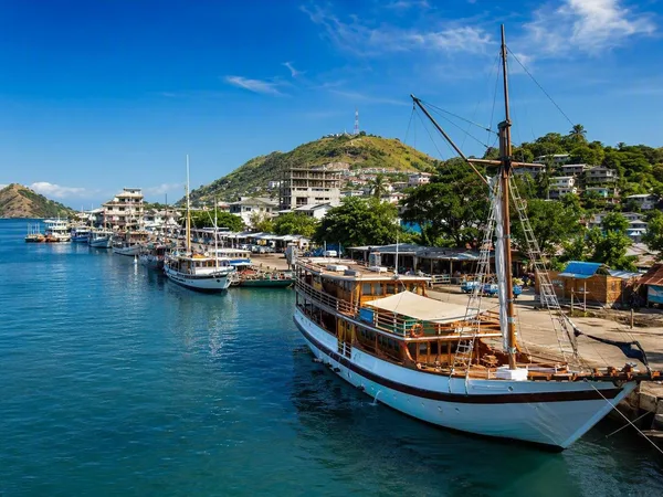
Labuan Bajo
1 linked stories and routes
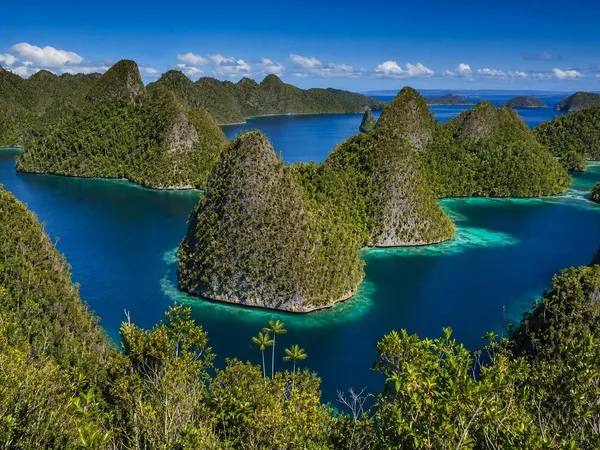
Raja Ampat
1 linked stories and routes
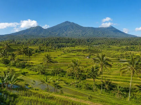
Jatiluwih Rice Terraces
1 linked stories and routes
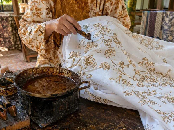
Laweyan Batik Village
0 linked stories and routes
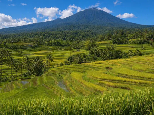
Bali
0 linked stories and routes