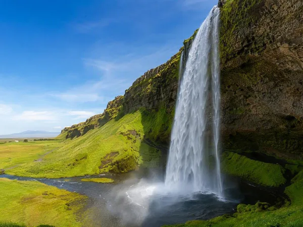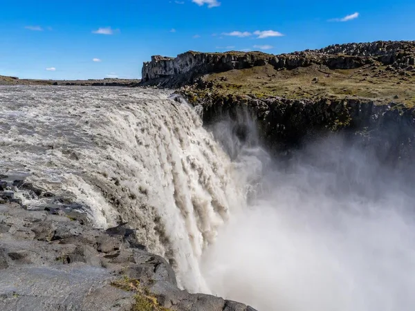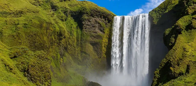
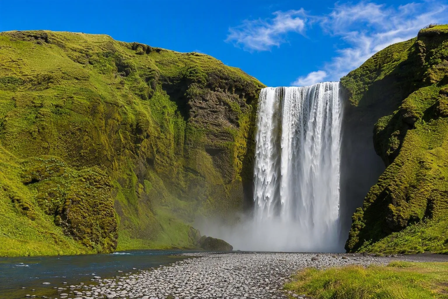
Iceland puts ice, fire and the North Atlantic within a few hours’ drive of one another. Black lava fields run below ice caps, geothermal water heats public pools, and small fishing towns look out over a cold ocean. At Þingvellir, visitors walk between the North American and Eurasian tectonic plates near the site of Iceland’s first parliament, founded in 930. On the south coast, meltwater from Eyjafjallajökull falls over Skógafoss and its dark volcanic cliff. Eruptions, glacial floods and centuries of farming have left their marks across the country.
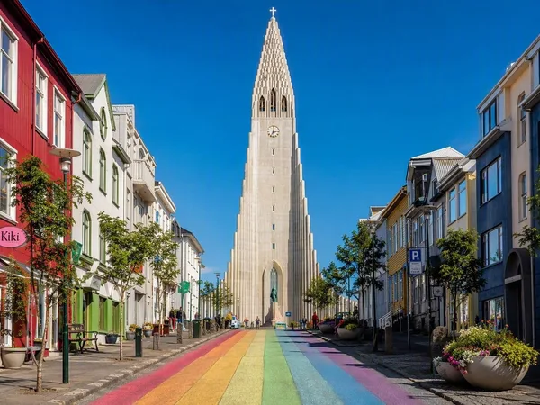
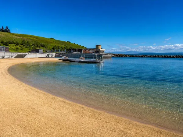
Reykjavík makes this geology part of everyday life. Residents meet at geothermally heated pools, homes use geothermal heating, and restaurant menus feature lamb, Arctic char, rye bread and cultured dairy. The city’s record shops, music venues and design studios sit alongside the National Museum, where objects from the settlement era trace Iceland’s history.
Outside the capital, the landscape changes quickly. Steep mountains close in on the fishing villages of the Westfjords. Around Lake Mývatn, craters and twisted lava sit beside wetlands full of birdlife. Along the south coast, farms occupy the narrow strip between the sea and glacier-covered volcanoes. The Icelandic sagas still belong to this map, with their feuds and journeys set in named valleys, fjords and headlands. Take time for a local pool, a café in a small town and a road beyond the busiest stops. Iceland has plenty to show once you slow down.