
Nature area · Iceland
Faxaflói Bay
Faxaflói is the broad bay between the Reykjanes and Snæfellsnes peninsulas in southwest Iceland. Reykjavík sits on its southern shore, making the bay a defining part of the capital’s waterfront and western coastal walks.
Orientation
Faxaflói is Iceland’s largest bay, opening between Reykjanes in the south and Snæfellsnes in the north. It is roughly 89 km wide between Garðskagi and Malarrif, with a low, indented coastline of fjords, coves and beaches.
Reykjavík faces the bay from its southern shore. The city’s western waterfront gives the most straightforward urban encounter with Faxaflói: open water, working harbour traffic and long views when visibility allows. The bay is not a single walkable attraction; choose a shore section rather than trying to “do” Faxaflói as one destination.
Reykjavík’s western shore
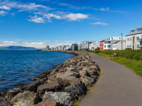
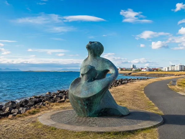
For a practical coastal outing, start at Ægisíða in Vesturbær and follow the paved seafront west towards Seltjarnarnes. The route is mostly level and shared by walkers and cyclists. Residential streets sit inland; the bay remains continuously on the seaward side.
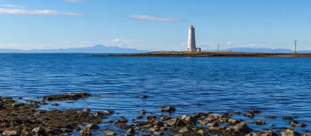
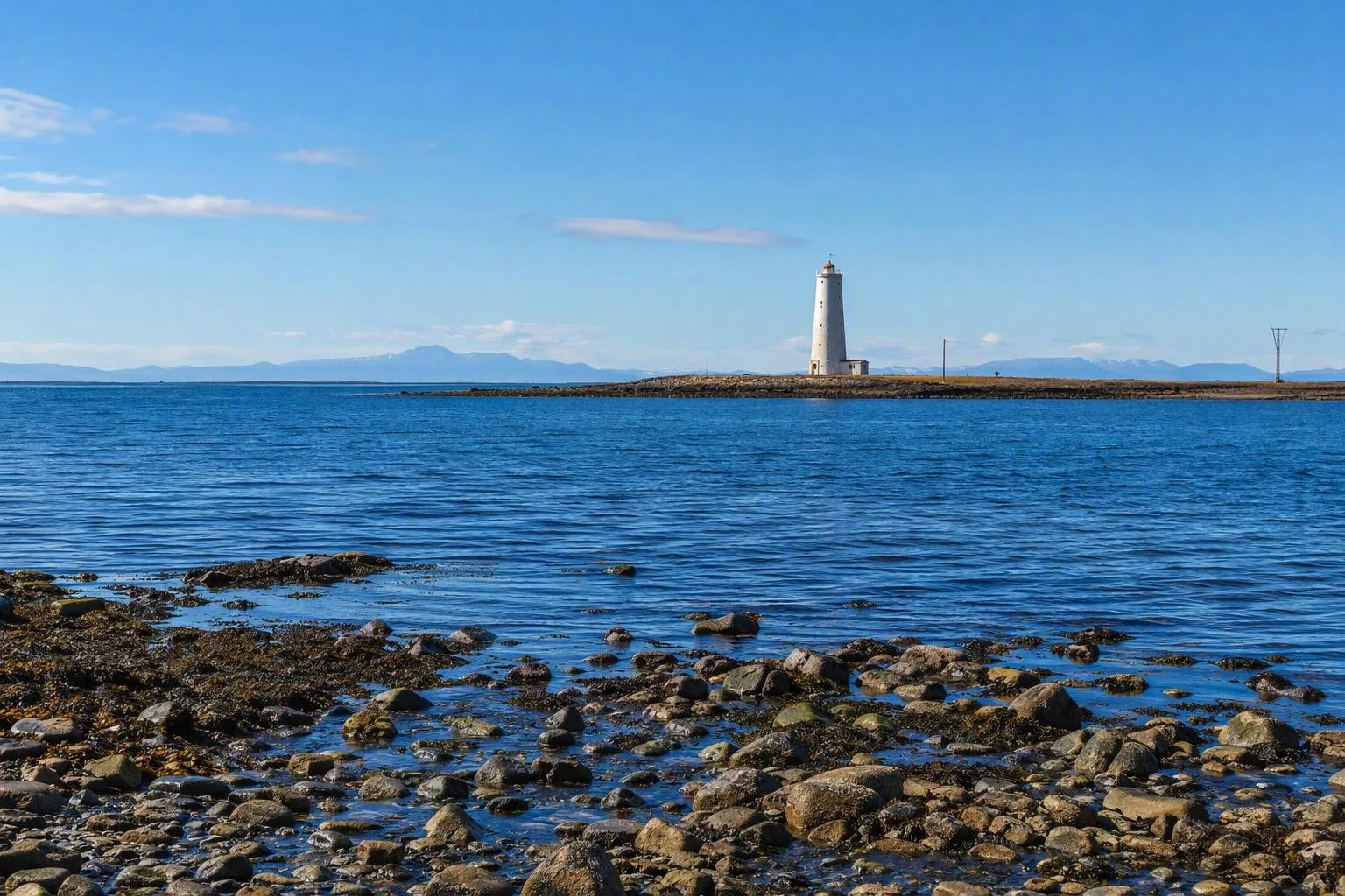
As the route nears Grótta, pavement gives way to a rougher tidal edge of dark sand, gravel, boulders and rock shelves. Bakkatjörn, a shallow bird pond, lies behind the shore. This is the clearest place near central Reykjavík to see how the bay’s low coast and tidal zone meet.
Grótta and the bay horizon
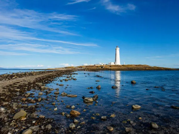
At the western tip of Seltjarnarnes, Grótta Lighthouse is the obvious landmark facing Faxaflói. The present white concrete tower dates from 1947, replacing a lighthouse first lit here in 1897; it remains an active aid to navigation.
The lighthouse stands on a small tidal islet. At low tide, a strip of sand and rock connects it to land; at high tide, water covers the crossing. From the mainland shore, look north and west across the bay. Clear conditions can reveal the outlines of Snæfellsnes and, farther away, Snæfellsjökull.
Timing and conditions
Faxaflói is exposed. Wind can dominate a short shore walk, while cloud and rain can erase long-distance views quickly. Wear a windproof outer layer and shoes with grip for wet rocks near the tidal edge.
Tide rule: only cross to Grótta around low tide, leaving ample time to return. The island is closed from 1 May to 15 July to protect nesting birds; view the lighthouse from the mainland during that period.
What the bay is
Faxaflói is more than Reykjavík’s backdrop. It covers about 4,500–5,000 km² and is comparatively shallow: much of it is less than 50 m deep, although its central outer section reaches beyond 150 m. Its southern waters carry shipping, while shallows and skerries become more prominent along the western and northern coasts.
Treat the Reykjavík shore as an accessible introduction to a much larger marine landscape. The view changes with weather, tide and light; the bay itself is the subject.
From the magazine
Stories about Faxaflói Bay
Editorial stories linked directly to Faxaflói Bay.
No stories about Faxaflói Bay have been published yet.
Routes from our editors
Travel through Faxaflói Bay
Editorial routes connecting Faxaflói Bay with other countries, cities and hotspots.
No routes through Faxaflói Bay have been published yet.
More in Iceland
Related hotspots
Other cities, nature areas and places within Iceland.
Reykjavík
2 linked stories and routes
Seljalandsfoss
1 linked stories and routes
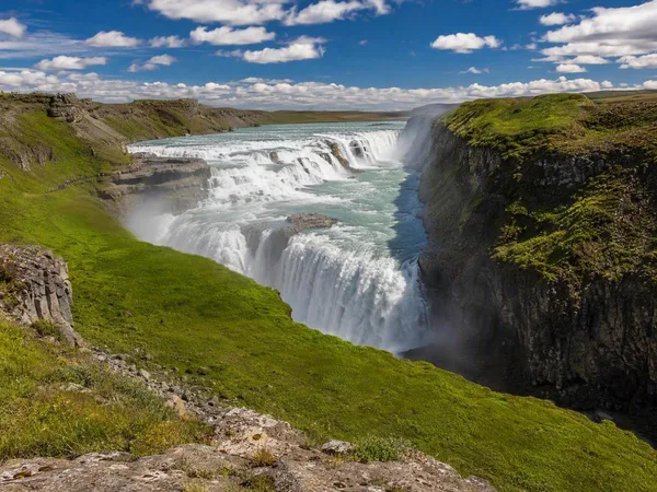
Gullfoss
1 linked stories and routes
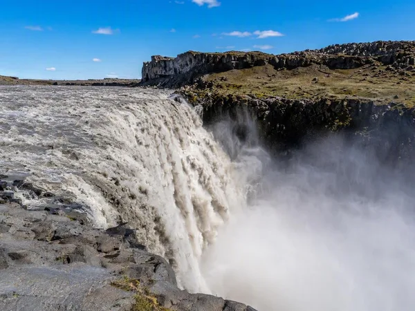
Dettifoss
1 linked stories and routes
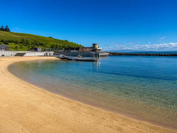
Nauthólsvík Geothermal Beach
1 linked stories and routes
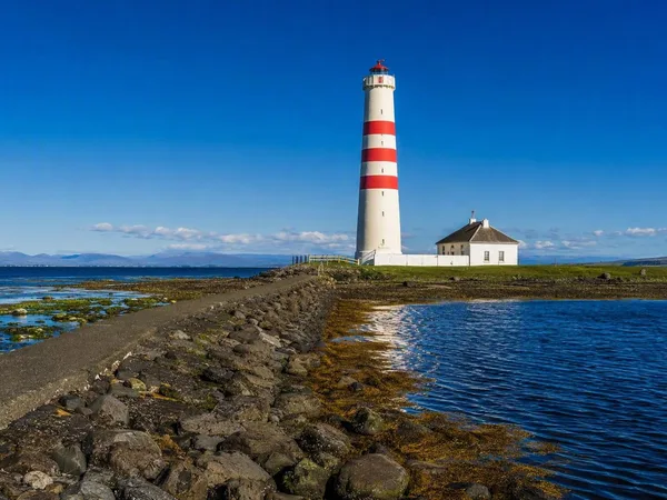
Seltjarnarnes
1 linked stories and routes
Grótta
1 linked stories and routes
Vesturbær
1 linked stories and routes
Ægisíða Coastal Path
1 linked stories and routes
Kvika
1 linked stories and routes