City · Albania
Tirana
Tirana is Albania’s capital, set in the country’s central plain beneath Mount Dajti. Its compact centre links Ottoman remnants, Italian-planned boulevards, communist-era sites and an active market quarter on foot.
Start with the centre
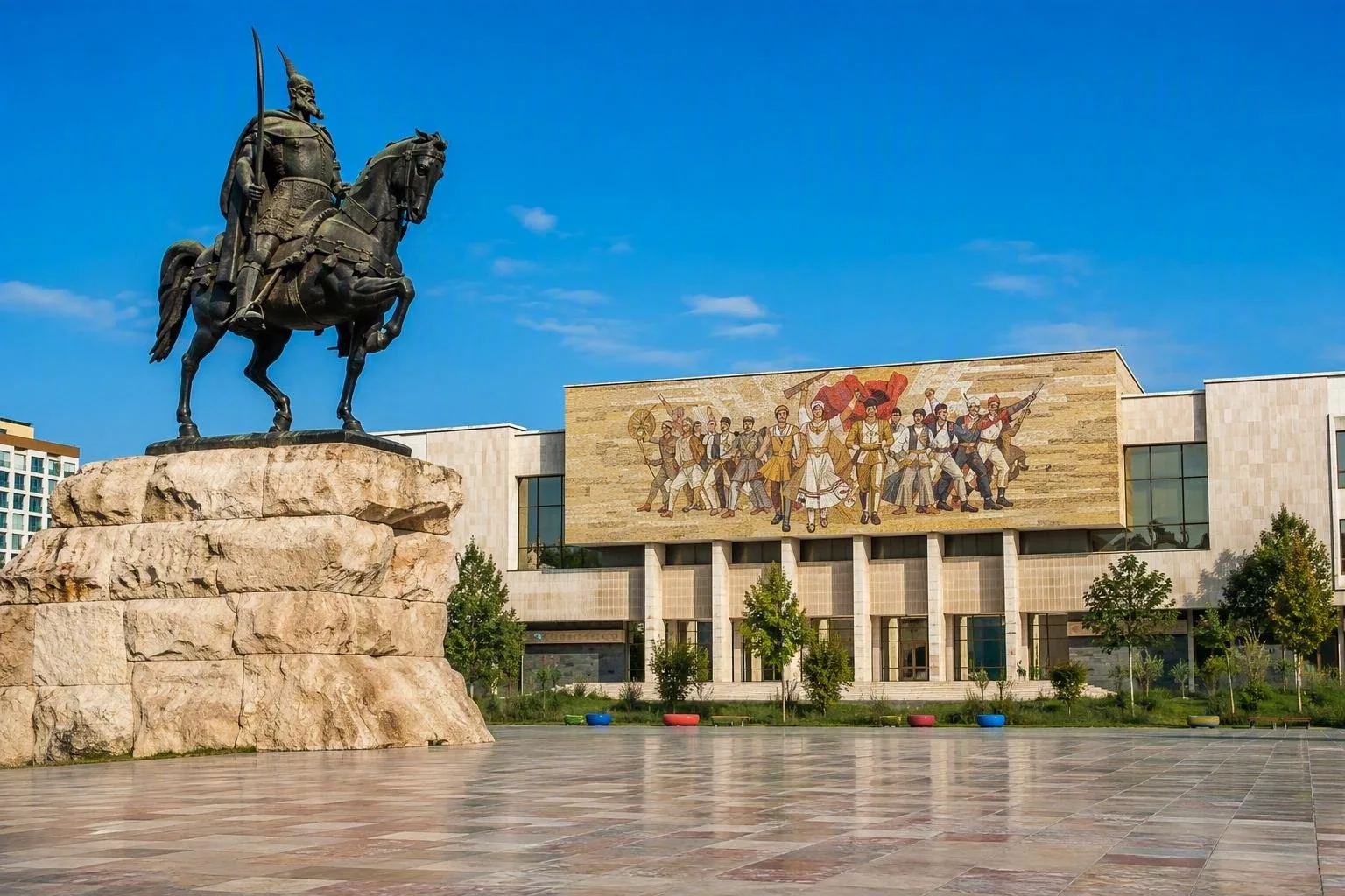
Skanderbeg Square is Tirana’s working reference point. The traffic-free square was remade as a pedestrian space and paved with stone from across Albania. Its perimeter compresses much of the capital’s public architecture into one walk: the National Historical Museum, Palace of Culture, Bank of Albania, Et’hem Bey Mosque and Clock Tower.
The city became Albania’s temporary capital in 1920 and its permanent capital in 1925. That relatively recent role explains the dense mix of Ottoman, Italian-period, socialist and contemporary architecture around the centre.
Read the square and its landmarks
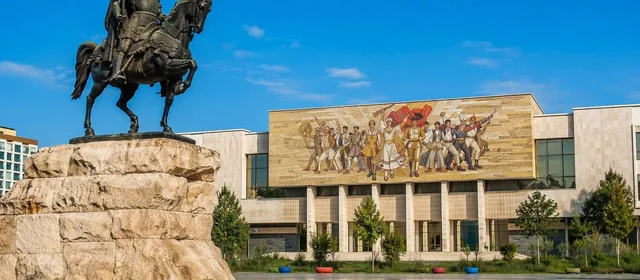
Begin at the equestrian monument to Gjergj Kastrioti Skanderbeg, installed in 1968. Then work around the square rather than trying to cover the city in one straight line.
- National Historical Museum: the large facade mosaic, The Albanians, is a landmark in itself; allow more time if you want the collections inside.
- Et’hem Bey Mosque and Clock Tower: the mosque is one of the few surviving mosques from 18th- and 19th-century Tirana. The adjacent tower was begun in 1822 and forms its architectural pair.
- Bunk’Art 2: a short walk from the square, in the former anti-atomic shelter of the Ministry of Interior. Its displays address the history of the ministry and victims of communist terror.
For the mosque, dress modestly and remove shoes before entering the prayer space.
Market, castle and street life
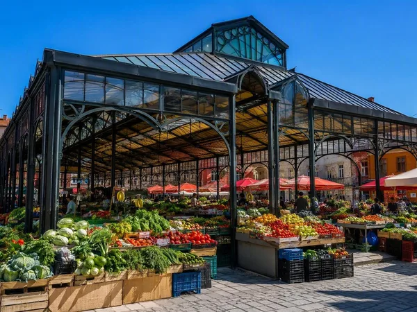
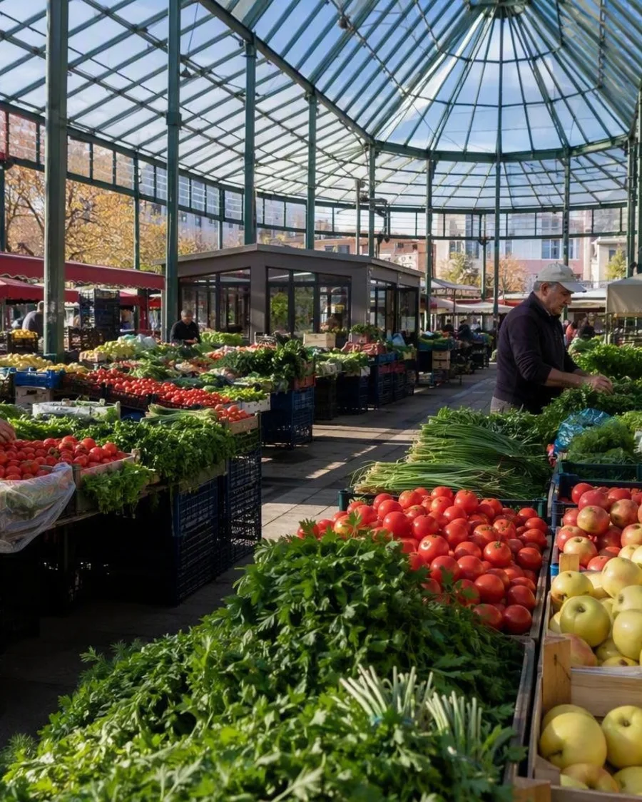
Walk east to Pazari i Ri (New Bazaar). Created in 1931 as trade outgrew the old bazaar, it remains a food market for fruit, vegetables and other daily supplies, with cafés and restaurants around it. Go early to see produce being unloaded and arranged rather than arriving for the later café trade.
Continue via the Murat Toptani pedestrian route to Tirana Castle. This is not a complete fortress: surviving walls and fragments sit within a pedestrian precinct of craft, food and small retail spaces. The fortification’s older foundations are associated with the Byzantine period; visible above-ground walls include later rebuilding.
South along the boulevard
Dëshmorët e Kombit Boulevard provides Tirana’s clearest formal axis. The Pyramid began as a museum for Enver Hoxha and has been repurposed for youth-oriented digital education, art and culture. Nearby, the Postbllok Memorial uses prison columns, a bunker and a section of the Berlin Wall to confront the dictatorship directly.
Further south, the Grand Park and its artificial lake offer the city’s main green break. Blloku lies between the boulevard and park: once restricted to communist leadership, it is now a district of cafés, bars and converted villas.
Getting oriented
Central Tirana is best handled on foot: Skanderbeg Square, Bunk’Art 2, Tirana Castle, Pazari i Ri, the Pyramid and Blloku form a practical walking area. From the square, the Porcelani bus links the centre with the Dajti Ekspres cable-car area; Mount Dajti makes a useful half-day extension when you want a view beyond the built-up plain.
In summer, schedule open squares and boulevards for morning or late afternoon. The centre has limited shade at midday.
From the magazine
Stories about Tirana
Editorial stories linked directly to Tirana.
Routes from our editors
Travel through Tirana
Editorial routes connecting Tirana with other countries, cities and hotspots.
No routes through Tirana have been published yet.
More in Albania
Related hotspots
Other cities, nature areas and places within Albania.