
Mountain · El Salvador
El Picacho
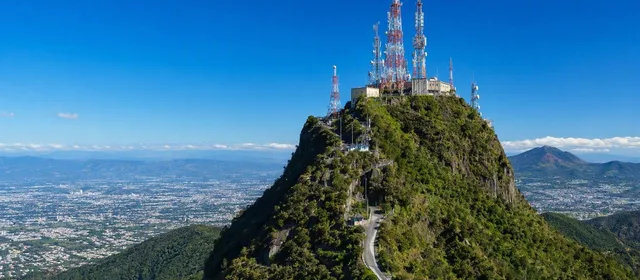
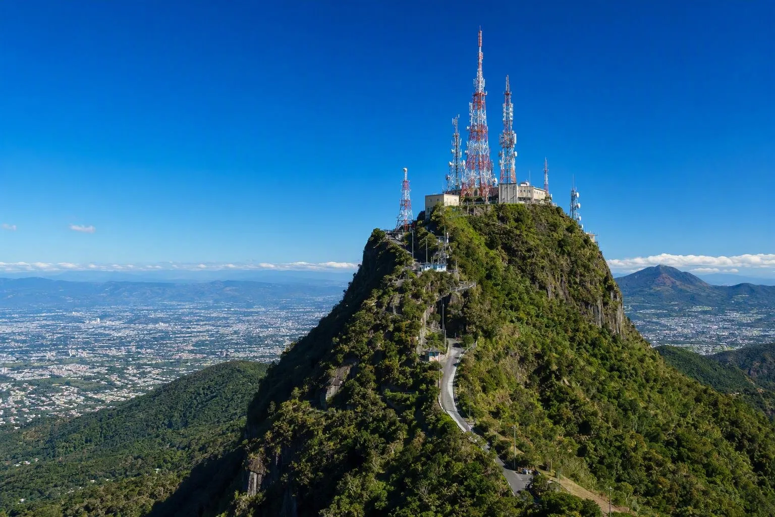
El Picacho is the 1,960-metre high point of the San Salvador volcanic complex, northeast of El Boquerón crater above the capital. It is a surviving section of an older volcanic edifice and today carries major telecommunications infrastructure.
What El Picacho is
El Picacho is a sharp, high eastern prominence of the San Salvador volcano, rather than a separate volcano. At about 1,960 metres, it is the highest point of the complex and forms a conspicuous part of the capital’s western skyline.
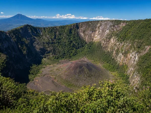
Its shape records a violent geological past. Much of the older volcanic edifice collapsed tens of thousands of years ago, leaving El Picacho and El Jabalí as exposed remnants around a broad caldera. The younger Boquerón volcano later grew within that collapsed structure.
The summit landscape
The summit is rugged, with steep slopes and deeply cut ravines on its eastern side. It is not the broad crater-rim setting usually associated with the nearby El Boquerón visitor area. Its most visible modern features are the telecommunications towers and support buildings set on the high ridge.
This is a useful place to understand the complex’s layout:
- El Picacho: the high eastern remnant, around 1,960 metres.
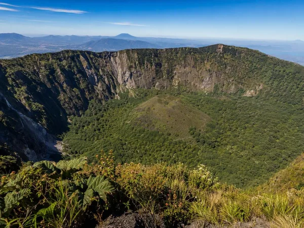
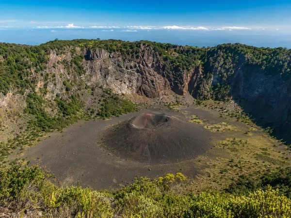
- El Boquerón: the younger central edifice and its large crater.
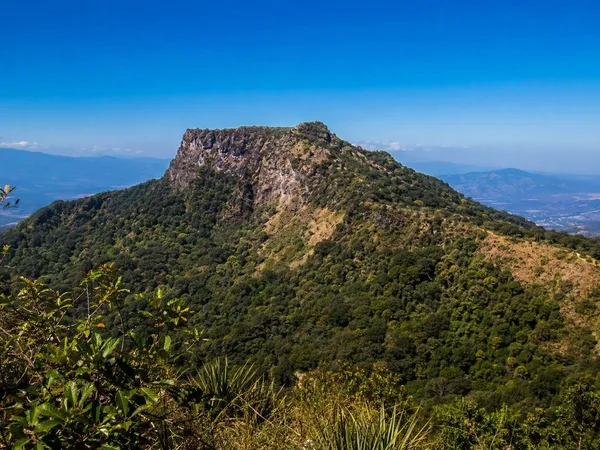
- El Jabalí: another remnant peak on the caldera rim.
Access and boundaries
Treat El Picacho itself as an infrastructure summit, not as a public park trail or an extension of the El Boquerón visit. The road and summit installation are privately controlled, with access checkpoints. Do not attempt to enter or approach the tower compound without explicit authorization.
For a public volcanic walk, use the designated trails and viewpoints at El Boquerón National Park instead. Those facilities look into the crater but do not provide public access to El Picacho’s summit.
Conditions and risk
The height brings cooler, changeable conditions than San Salvador. Mist, rain and wind can reduce visibility quickly; a light insulating layer and footwear with grip are sensible even when the city is warm.
The steep eastern slopes have a history of rain-triggered debris flows and landslides. In 1982, a major flow from El Picacho descended the Las Lajas drainage and devastated communities below. Stay out of ravines and unstable slopes, especially during sustained rain.
Best way to read the landscape
View El Picacho from the San Salvador metropolitan area or from authorised viewpoints around the volcano. Its pointed ridge makes most sense when seen in relation to the lower Boquerón crater: together they show why San Salvador is a volcanic complex, not a single symmetrical cone.
From the magazine
Stories about El Picacho
Editorial stories linked directly to El Picacho.
No stories about El Picacho have been published yet.
Routes from our editors
Travel through El Picacho
Editorial routes connecting El Picacho with other countries, cities and hotspots.
No routes through El Picacho have been published yet.
More in El Salvador
Related hotspots
Other cities, nature areas and places within El Salvador.
San Salvador
1 linked stories and routes
El Boquerón National Park
1 linked stories and routes
San Salvador volcano
1 linked stories and routes
El Jabalí
1 linked stories and routes
Boqueroncito
1 linked stories and routes
Santa Tecla
1 linked stories and routes