
Mountain · El Salvador
Boqueroncito
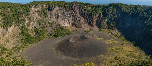
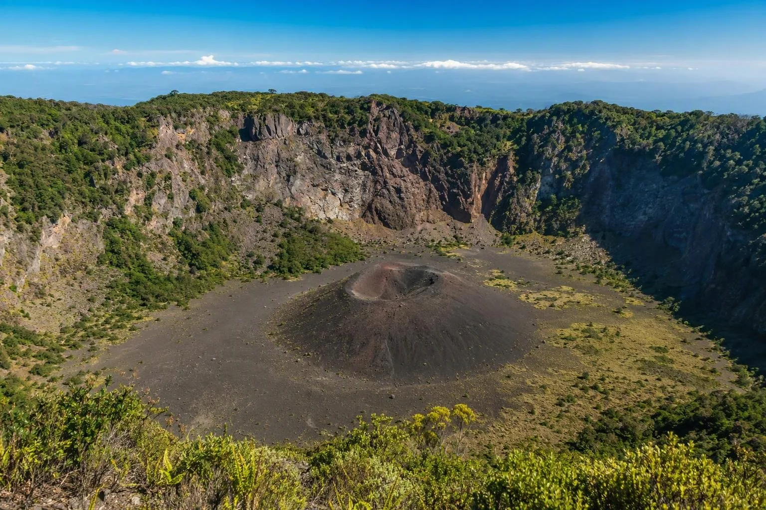
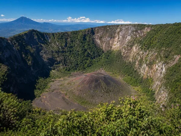
Boqueroncito is the small cinder cone on the floor of El Boquerón crater, within El Boquerón National Park on San Salvador Volcano. It formed during the volcano’s 1917 eruption and is best seen from the crater-rim viewpoints.
What you are looking at
Boqueroncito is not a separate summit hike: it is the younger, dark cinder cone set far below the rim of El Boquerón. The cone rises roughly 30–37 metres from the crater floor, giving the vast crater a second volcanic form at its centre.
The setting establishes its scale. El Boquerón is about 1.5 kilometres across and approximately 500 metres deep. Green, steep-sided walls drop toward the cone, which appears small only because the enclosing crater is so large.
The 1917 eruption
Boqueroncito formed during the San Salvador volcanic complex’s latest confirmed eruption, from June to November 1917. Activity first opened fissures on the north flank, where andesitic lava flowed. It then shifted to the summit crater.
At that time, a lake occupied the crater floor. Heating made it boil away; subsequent ash and cinder eruptions built the cone. Boqueroncito is therefore a direct, visible record of the 1917 event rather than an older feature of the main crater.
How to see it
Use the established trails and viewpoints of El Boquerón National Park. The usual visitor route climbs from the park entrance to viewpoints on the rim; each changes the angle on Boqueroncito and the crater walls.
For the clearest view:
- Go early, before cloud commonly gathers over the summit.
- Walk through all available viewpoints rather than stopping at the first overlook.
- Bring a light layer: the rim is markedly cooler than San Salvador.
- Use a camera or binoculars if you want to pick out the cone’s shape against the vegetated floor.
On clear days, the outer views can extend across San Salvador and east toward Lake Ilopango, but Boqueroncito remains the key feature below the rim.
Access and safety
The marked park paths end at rim viewpoints; they do not provide a public descent to Boqueroncito. Treat the cone as a viewing subject, not a destination for an independent hike. The crater walls are steep, and unofficial descents involve unstable ground, exposed drops and difficult terrain.
Stay on marked routes and behind barriers. Visibility can close quickly in cloud, so do not base the visit on distant views alone: the crater and its inner cone are the reason to come.
Getting there
Boqueroncito lies within El Boquerón National Park above San Salvador. Reach the park via the mountain road from the Santa Tecla/San Salvador side, then continue on foot along the signed visitor trails to the crater rim. The road and park visit are practical as a half-day outing from the capital; arrange return transport before heading uphill, as pickup availability can be limited at the summit.
From the magazine
Stories about Boqueroncito
Editorial stories linked directly to Boqueroncito.
No stories about Boqueroncito have been published yet.
Routes from our editors
Travel through Boqueroncito
Editorial routes connecting Boqueroncito with other countries, cities and hotspots.
No routes through Boqueroncito have been published yet.
More in El Salvador
Related hotspots
Other cities, nature areas and places within El Salvador.
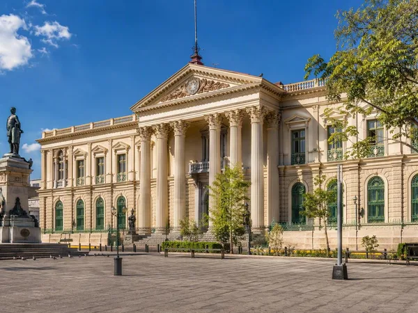
San Salvador
1 linked stories and routes
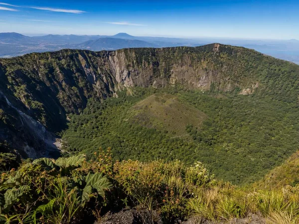
El Boquerón National Park
1 linked stories and routes
San Salvador volcano
1 linked stories and routes
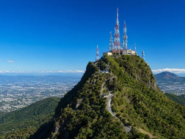
El Picacho
1 linked stories and routes
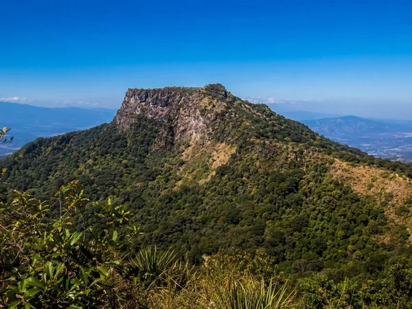
El Jabalí
1 linked stories and routes
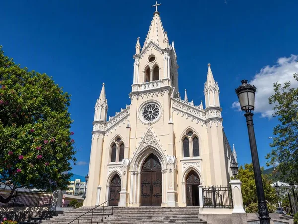
Santa Tecla
1 linked stories and routes