
Mountain · El Salvador
El Jabalí
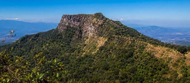
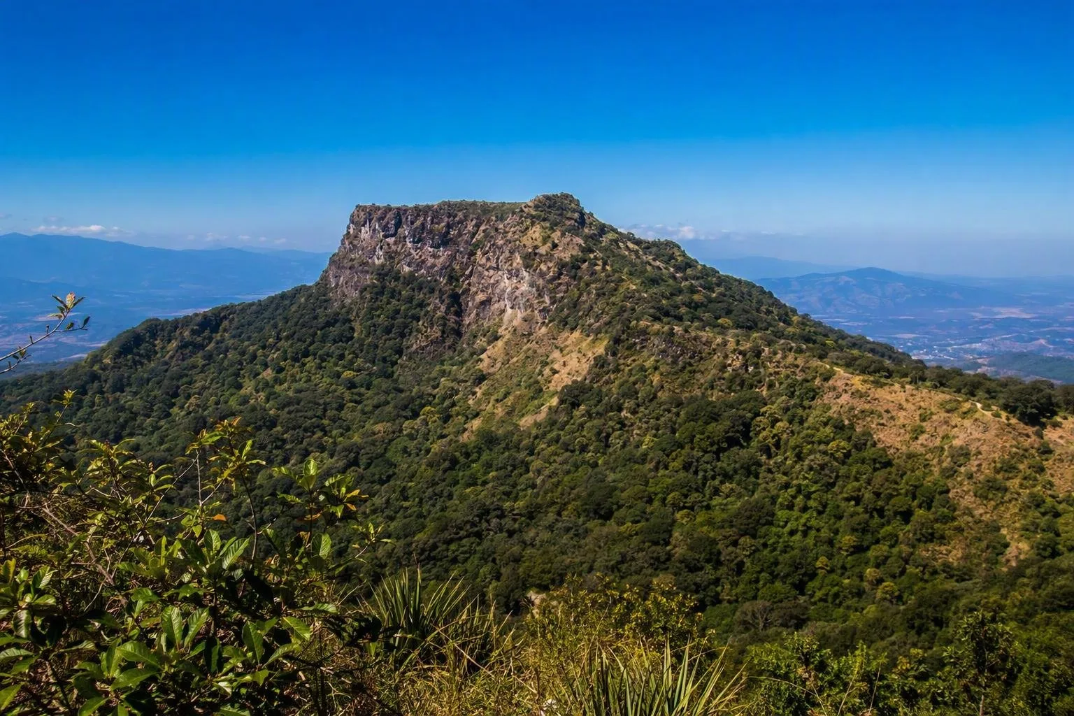
El Jabalí is a roughly 1,400-metre peak on the northwestern side of El Salvador’s San Salvador volcanic complex. It is a surviving section of the older volcano’s collapsed rim, rather than the younger Boquerón cone or its main crater.
What El Jabalí is
El Jabalí is a distinct mountain remnant within the San Salvador volcanic complex, west of the capital. It stands northwest of the Boquerón crater and is one of the recognisable remnants of the older San Salvador volcano.
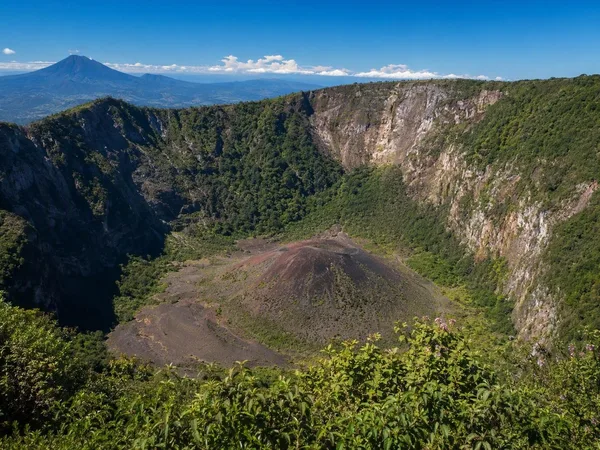
This is not a separate active cone. Around 40,000 years ago, the older volcanic edifice partly collapsed, leaving El Jabalí and El Picacho as exposed portions of its rim. The younger, mainly andesitic Boquerón volcano subsequently grew inside that collapse depression.
Read the landscape
El Jabalí’s importance is geological: it helps explain why San Salvador volcano is a compound structure rather than a single symmetrical mountain.
- El Jabalí: the lower northwestern rim remnant, about 1,397 metres above sea level.
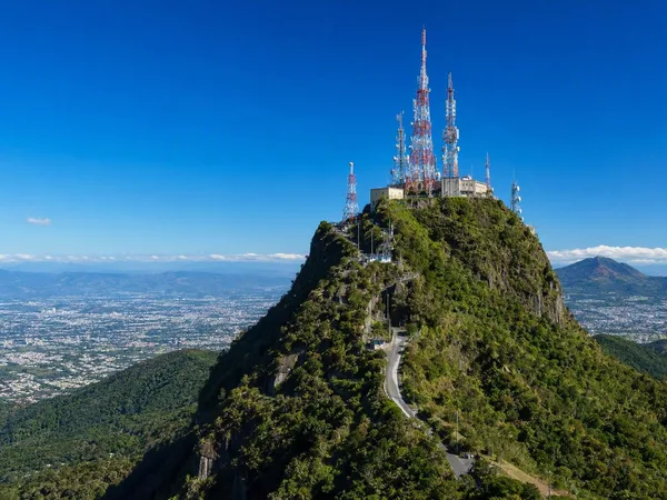
- El Picacho: the higher eastern rim remnant.
- Boquerón: the younger central volcano and the name associated with the large summit crater.
From a broad viewpoint, look for El Jabalí as part of the broken outer relief rather than expecting a clean, isolated cone. Its relationship to Boquerón and Picacho is the point of the stop.
Visiting context
Treat El Jabalí primarily as a named landform, not as a separately developed visitor attraction. The documented public trails and crater viewpoints in this volcanic complex are concentrated at El Boquerón National Park, around the younger central crater; they are not a route description for El Jabalí itself.
Use detailed mapping and local access information before attempting any approach to the peak. Do not assume that roads, cultivated slopes, or tracks on the northwestern side provide public passage. Keep private land, closures, and any marked boundaries out of your itinerary.
Volcanic setting and caution
The wider complex has erupted from its central crater and from flank fissures over the past 70,000 years. Its last confirmed eruption was in 1917. Historic activity has been concentrated on the northwestern flank, while heavy rain and earthquakes have also triggered destructive landslides and debris flows on the volcano.
Important: avoid steep drainage lines and unstable slopes during heavy rain or earthquake-related alerts. For any volcanic advisory, follow official civil-protection instructions rather than relying on normal access patterns.
Best way to use this stop
El Jabalí works best as a geographic reference while exploring the San Salvador volcano landscape: identify the old rim, then compare it with the younger Boquerón cone inside it. That sequence makes the complex’s layered construction legible without confusing El Jabalí with the crater park or with nearby named volcanic features.
From the magazine
Stories about El Jabalí
Editorial stories linked directly to El Jabalí.
No stories about El Jabalí have been published yet.
Routes from our editors
Travel through El Jabalí
Editorial routes connecting El Jabalí with other countries, cities and hotspots.
No routes through El Jabalí have been published yet.
More in El Salvador
Related hotspots
Other cities, nature areas and places within El Salvador.
San Salvador
1 linked stories and routes
El Boquerón National Park
1 linked stories and routes
San Salvador volcano
1 linked stories and routes
El Picacho
1 linked stories and routes
Boqueroncito
1 linked stories and routes
Santa Tecla
1 linked stories and routes