
City · El Salvador
Santa Tecla
Santa Tecla is a highland city in La Libertad, immediately west of San Salvador and at the foot of the San Salvador Volcano. Its walkable historic core, Paseo El Carmen and uphill road to El Boquerón make it both an urban stop and a practical volcano base.
Orientation
Santa Tecla sits within the San Salvador metropolitan area, but has a distinct centre and a cooler, greener setting on the volcano’s southern slopes. It was founded in 1854 as Nueva San Salvador after an earthquake devastated the capital; the historic name Santa Tecla became official in 2004.
The centre is compact enough to cover on foot. Start around Parque Daniel Hernández, then work outward through the older street grid. The main contrast is between historic civic and religious buildings in the centre and the restaurant-and-café corridor leading uphill towards El Boquerón.
Historic centre
Look for the varied late-19th- and early-20th-century architecture rather than a single monumental precinct. Former houses now commonly hold shops, cafés and small businesses.
Key stops include:
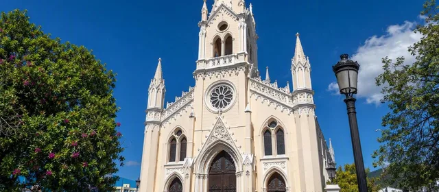
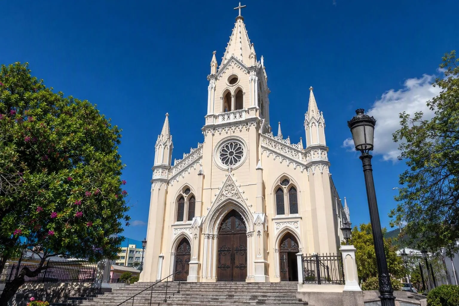
- Iglesia de Nuestra Señora del Carmen: a neo-Gothic parish church and a clear visual landmark.
- Palacio Tecleño de la Cultura: a cultural building used for exhibitions, performances and other programming.
- Parque Daniel Hernández: a useful pause point in the central grid.
Keep the visit simple: this is a functioning city centre, not a preserved museum district.
Paseo El Carmen and El Cafetalón
Paseo El Carmen is the city’s food-and-evening corridor, with restaurants, cafés and bars in and around historic buildings. On weekends it becomes a pedestrian-oriented place to walk, eat and browse local stalls when they are operating. Go earlier if you want a quieter meal; later hours are more social and restaurant-led.
For open space, head to El Cafetalón, a large recreational complex with green areas and sports facilities. It is better suited to a relaxed daytime walk than to a heritage circuit.
The road to El Boquerón
Santa Tecla is the principal urban approach for the route up to El Boquerón National Park on the San Salvador Volcano. Calle al Boquerón climbs from this side through cafés, restaurants and viewpoints, with broad views over Santa Tecla and San Salvador.
At the park, marked paths lead to viewpoints over the crater and the smaller Boqueroncito crater. The usual crater walk takes about 20–25 minutes. The park is generally open 8am–5pm; admission is US$1 for Salvadorans and US$2 for foreign visitors.
Getting around
Santa Tecla is a short drive from central San Salvador, with taxis, ride-hailing services and private transfers the most direct options. Use the central streets on foot, then take a car or arranged transport for the steep volcano road. Public transport can reach the route, but the final bus stop is about a kilometre below the national-park entrance.
From the magazine
Stories about Santa Tecla
Editorial stories linked directly to Santa Tecla.
No stories about Santa Tecla have been published yet.
Routes from our editors
Travel through Santa Tecla
Editorial routes connecting Santa Tecla with other countries, cities and hotspots.
No routes through Santa Tecla have been published yet.
More in El Salvador
Related hotspots
Other cities, nature areas and places within El Salvador.
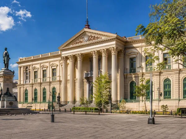
San Salvador
1 linked stories and routes
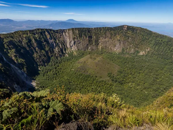
El Boquerón National Park
1 linked stories and routes
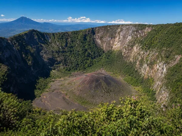
San Salvador volcano
1 linked stories and routes
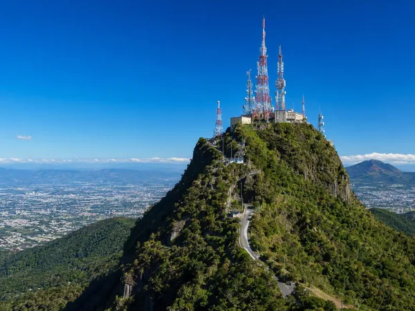
El Picacho
1 linked stories and routes
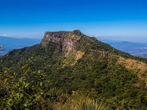
El Jabalí
1 linked stories and routes
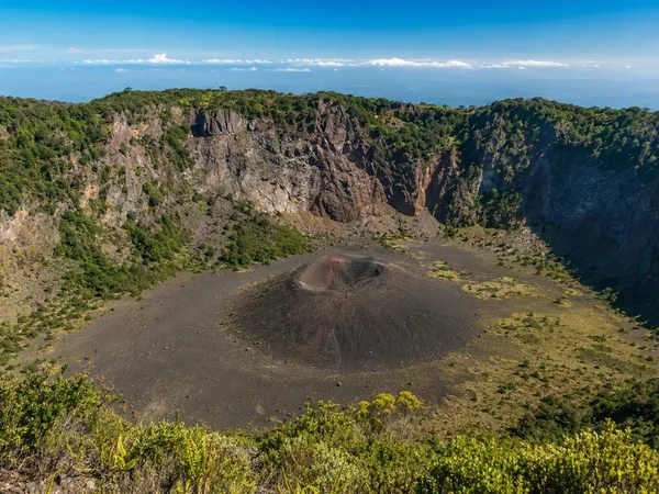
Boqueroncito
1 linked stories and routes