
Neighbourhood · Singapore
Marina Bay
Marina Bay is Singapore’s reclaimed waterfront district at the mouth of the Singapore River. Its public promenades link the central basin with landmark architecture, gardens, performance spaces and the financial district.
Orientation
Marina Bay is Singapore’s modern downtown waterfront: a broad, enclosed basin framed by the CBD, Marina Bay Sands, Gardens by the Bay, the Singapore Flyer and the Esplanade. Much of today’s district stands on land reclaimed from the 1970s onward. Marina Barrage turned the bay into a freshwater reservoir in 2008.
This is a district rather than a single attraction. Use the water’s edge to make sense of it: the skyline changes dramatically from one side of the bay to the other.
Walk the waterfront
The continuous waterfront promenade is the practical backbone of a visit. It is level, public and connects the principal sights on foot.
A solid route is:
- Start at Merlion Park for the direct view across the basin.
- Continue past Esplanade – Theatres on the Bay.
- Cross the pedestrian-only Helix Bridge, whose double-helix structure frames the skyline.
- Follow the Bayfront waterfront past the lotus-shaped ArtScience Museum and Marina Bay Sands.
- Continue into Gardens by the Bay for the Supertree Grove.
Allow two to three hours for this core circuit with stops; add time for a museum, observation deck or the gardens’ conservatories.
What is worth your time
At ground level, the bay itself is free to explore. The strongest payoff is the open view of water, towers and the three-tower profile of Marina Bay Sands.
Choose paid attractions by interest, not by proximity. The Sands SkyPark Observation Deck is for a high, wide city view; the ArtScience Museum has ticketed exhibitions; the Singapore Flyer offers a slow enclosed aerial circuit. At Gardens by the Bay, outdoor areas and the Supertree Grove can be explored separately from the ticketed conservatories.
For architecture, do not rush the Helix Bridge or the Esplanade waterfront. For a quieter stretch, head toward the lower boardwalk and The Promontory rather than staying around the mall frontage.
Timing and conditions
Late afternoon into evening is the most useful window: walk while there is daylight, then stay as the towers and bridge lighting come on. Midday is exposed and hot, especially along the open promenade; carry water and use covered interiors for breaks.
The bay hosts major civic celebrations, light festivals and other events. These can bring barriers, crowding and changed pedestrian access. On such dates, treat the promenade as a route with possible diversions rather than a guaranteed uninterrupted loop.
Getting there
Several MRT stations serve different sides of the bay. Bayfront is best for Marina Bay Sands and Gardens by the Bay; Promenade for the Flyer and Marina Centre; Esplanade for the theatre side; and Marina Bay for the southern downtown edge. Once there, walking is more efficient than repeatedly changing transport for the waterfront sights.
From the magazine
Stories about Marina Bay
Editorial stories linked directly to Marina Bay.
No stories about Marina Bay have been published yet.
Routes from our editors
Travel through Marina Bay
Editorial routes connecting Marina Bay with other countries, cities and hotspots.
No routes through Marina Bay have been published yet.
More in Singapore
Related hotspots
Other cities, nature areas and places within Singapore.
Boat Quay
1 linked stories and routes
Civic District
1 linked stories and routes
Singapore River
1 linked stories and routes
Clarke Quay
1 linked stories and routes
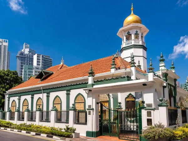
Kampong Melaka, Clarke Quay
1 linked stories and routes
Geylang Serai Market & Food Centre
1 linked stories and routes
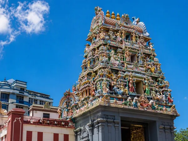
Little India, Singapore
1 linked stories and routes
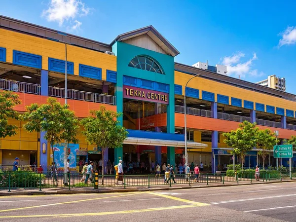
Tekka Centre
1 linked stories and routes
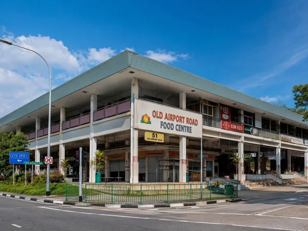
Old Airport Road Food Centre
1 linked stories and routes
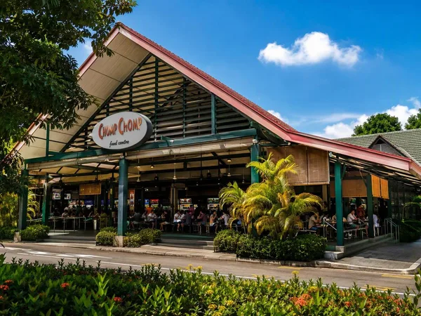
Serangoon Gardens
1 linked stories and routes
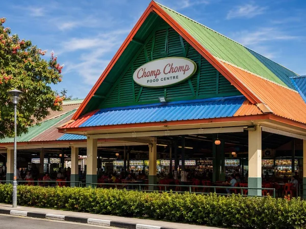
Chomp Chomp Food Centre
1 linked stories and routes