
Neighbourhood · Singapore
Clarke Quay
Clarke Quay is a conserved riverside neighbourhood on the north bank of the Singapore River in central Singapore. Its restored warehouses and shophouses now hold restaurants, bars and leisure venues, but the riverfront still reads as a former trading quay.
Orientation
Clarke Quay occupies the north bank of the Singapore River, along the River Valley Road stretch between North Boat Quay and Clemenceau Avenue. It is part of the wider Singapore River precinct, alongside Boat Quay and Robertson Quay.
This is a compact riverside district rather than a single monument. Start at the promenade and use the water, bridges and surviving warehouse blocks to understand its layout. The historic Read Bridge and Ord Bridge connect the quay to the river’s south bank.
A working quay, reshaped
From the early 19th century, lighter vessels carried cargo along the river to the godowns and commercial houses here. Labourers unloaded tongkangs and twakows, then moved goods into storage. Shophouses commonly combined work and home: shops and trading offices occupied the ground floor, while working families lived above.
Port activity later shifted away from the river. Clarke Quay received conservation status in 1989, and five blocks containing 60 shophouses and warehouses were restored. Their later reuse for dining, entertainment and retail explains the contrast between the low-rise historic fabric and the modern city around it.
What to look for
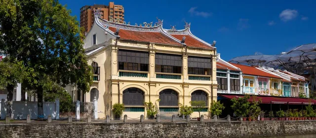
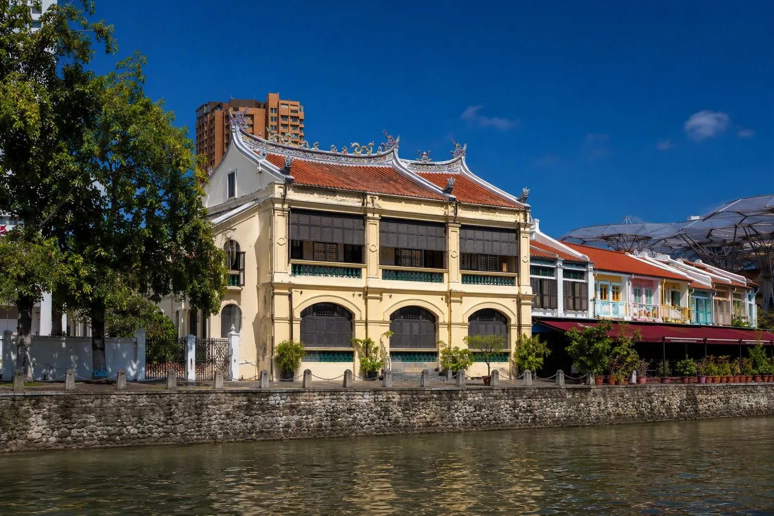
River House is the essential historic stop. Built in the 1880s, this two-storey southern Chinese, Teochew-style mansion is Clarke Quay’s oldest building. It was used as a residence and later as a godown for gambier, biscuits and other commodities. Look closely at its elaborate roof ridges.
Along the northern riverbank, many two- and three-storey shophouses retain sheltered upper-floor verandahs characteristic of the Teochew style. The fine brick warehouses form Singapore’s largest conserved cluster of this building type.
Walking the river
The promenade makes Clarke Quay an effective section of a longer river walk. Walk east towards Boat Quay and the Civic District, or west towards Robertson Quay. The route passes former loading edges, bridges, shophouses and new riverfront uses without needing a fixed itinerary.
River cruises also use the Singapore River; a traditional-style bumboat gives a water-level view of the quay façades and bridges. For the most legible architectural detail, visit in daylight. Evenings are better for the illuminated riverfront, dining and nightlife.
Getting there and timing
MRT: Clarke Quay station on the North East Line is the nearest station.
The public riverfront is straightforward to explore on foot. Clarke Quay is a major nightlife area, so expect its character to shift markedly after dark, especially around bars and clubs. Choose daytime or early evening for heritage-focused walking; leave late night for venues rather than quiet riverside observation.
From the magazine
Stories about Clarke Quay
Editorial stories linked directly to Clarke Quay.
No stories about Clarke Quay have been published yet.
Routes from our editors
Travel through Clarke Quay
Editorial routes connecting Clarke Quay with other countries, cities and hotspots.
No routes through Clarke Quay have been published yet.
More in Singapore
Related hotspots
Other cities, nature areas and places within Singapore.
Boat Quay
1 linked stories and routes
Civic District
1 linked stories and routes
Marina Bay
1 linked stories and routes
Singapore River
1 linked stories and routes
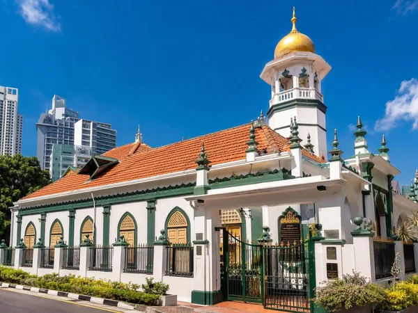
Kampong Melaka, Clarke Quay
1 linked stories and routes
Geylang Serai Market & Food Centre
1 linked stories and routes
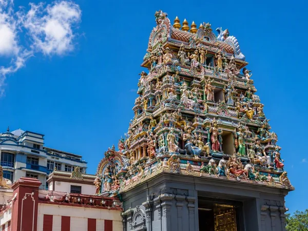
Little India, Singapore
1 linked stories and routes
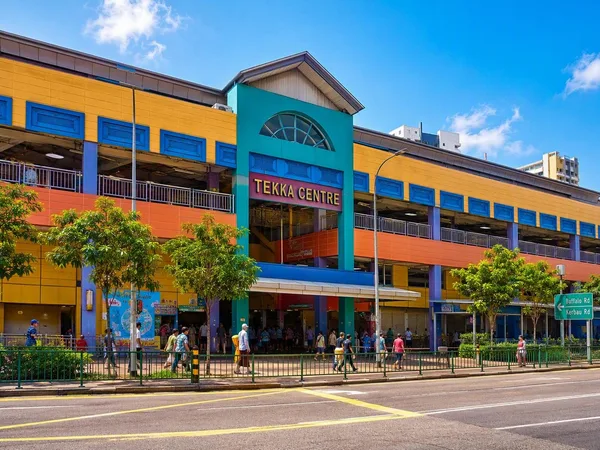
Tekka Centre
1 linked stories and routes
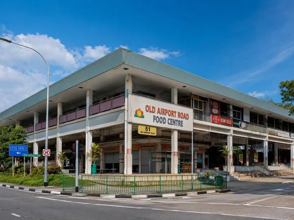
Old Airport Road Food Centre
1 linked stories and routes
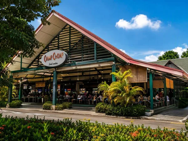
Serangoon Gardens
1 linked stories and routes
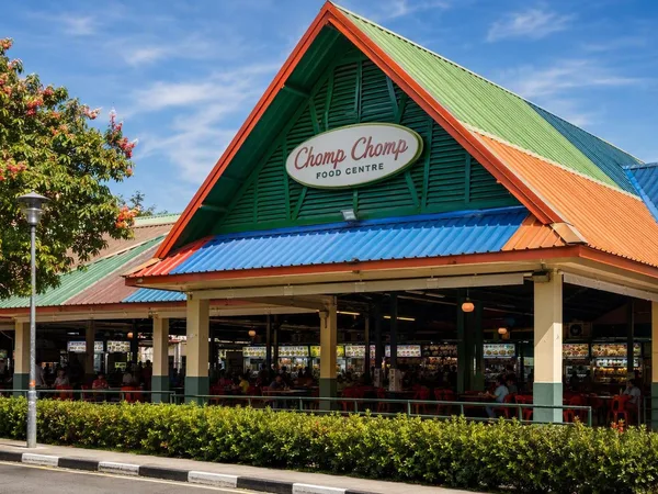
Chomp Chomp Food Centre
1 linked stories and routes