Island · Japan
Yakushima
Yakushima is a mountainous island in Kagoshima Prefecture, south of Kyushu, known for ancient Japanese cedar forest, rain-soaked trails and the 1,936-metre summit of Mount Miyanoura.
The island at a glance
Yakushima rises sharply from the sea, with most settlement strung along the coast and a forested mountain core inland. Its central old-growth landscape has been a UNESCO World Heritage property since 1993. The island’s exceptional rainfall supports a vertical sequence of vegetation, from subtropical coast to cool highland.
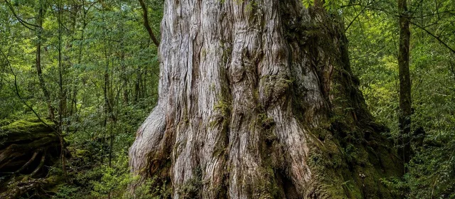
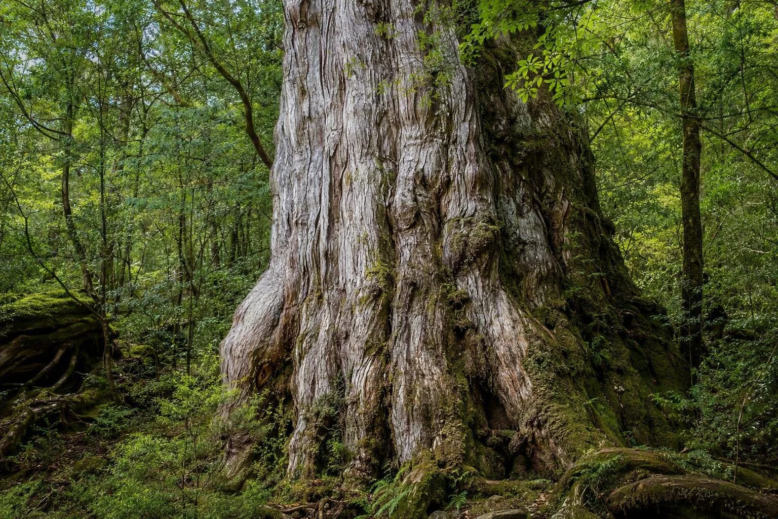
Mount Miyanoura is Kyushu’s highest peak at 1,936 metres. In the forest, yakusugi means a Japanese cedar more than 1,000 years old. These are living trees, not open-air museum pieces: keep to paths and respect barriers.
Choose the right forest walk
Jomon Sugi is the headline trek, but it is a serious full day: roughly 22 km return and 10–12 hours from Arakawa Trailhead. The route follows an old logging railway before climbing into the cedar forest. It is for fit, prepared walkers, not a casual diversion.
For a shorter immersion, use one of these:
- Shiratani Unsuikyo: a ravine of streams, moss and cedar forest, with routes from about one hour to four hours to Taikoiwa Rock.
- Yakusugi Land: a 270-hectare forest area around 1,000–1,300 metres, with signed circuits from 30 to 210 minutes.
- Mount Miyanoura: a demanding 10–12-hour return hike from Yodogawa Trailhead. It passes the Yodogawa River and the high moor at Hananoego.
Getting there and around
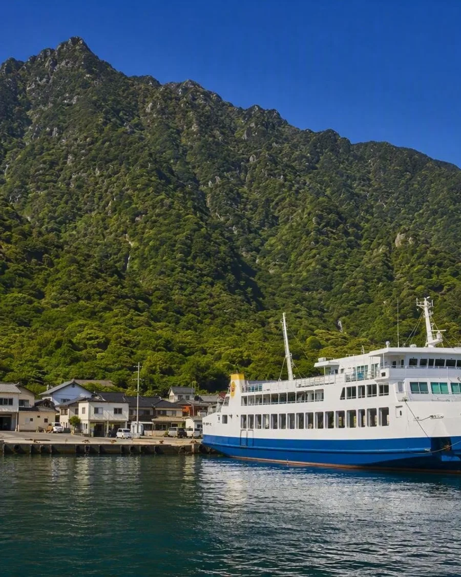
Reach Yakushima from Kagoshima by air, high-speed boat or ferry. High-speed boats serve Miyanoura or Anbo in about two to three hours; the slower car ferry goes to Miyanoura. Flights from Kagoshima take about 40 minutes.
Miyanoura is the principal northern port; Anbo lies on the east coast and is handier for Yakusugi Land and the island’s interior roads. Coastal buses and some interior services operate, but they are infrequent. A rental car gives the most workable access to dispersed trailheads, waterfalls and coastal villages. Mountain roads are narrow and winding.
Mountain logistics and safety
From 1 March to 30 November, private vehicles cannot use the Arakawa Trailhead road for the Jomon Sugi walk; take the Arakawa Mountain Bus instead. Submit a climbing notification for mountain routes.
Rain gear, grippy hiking footwear, food, water and a headlamp belong in the pack for long walks. Weather changes rapidly in the interior, mobile reception is limited in places, and winter snow affects high routes. Do not enter the mountains without a route and turnaround time that match your ability.
Coast and timing
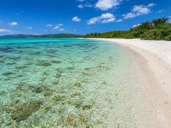
Reserve a separate day for the coast. Steep terrain and persistent rain create waterfalls; Okonotaki Falls drops 88 metres. Nagata Inaka Beach is a major loggerhead turtle nesting beach, with nesting activity from May to July.
Rain is part of Yakushima rather than an interruption to it. Bring waterproof layers in every season and leave margin in ferry or flight plans when weather is unsettled. Pack out all rubbish and never feed wildlife.
From the magazine
Stories about Yakushima
Editorial stories linked directly to Yakushima.
Routes from our editors
Travel through Yakushima
Editorial routes connecting Yakushima with other countries, cities and hotspots.
No routes through Yakushima have been published yet.
More in Japan
Related hotspots
Other cities, nature areas and places within Japan.