The 10 Cities Best Understood from the Water
A fine skyline is not enough. In these ten cities, a ferry or small boat reveals how trade, terrain, buildings and daily travel grew around a river, canal or bay.
This ranking asks a simple question: does the water explain more than the street? Venice takes first place because its canals remain working streets. Cape Town comes tenth because Table Bay gives essential context but cannot contain the whole city.
10. Cape Town: Table Bay and the working harbour
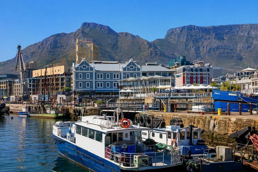 Boats and working docks sit beside the V&A Waterfront beneath Table Mountain.
A short harbour trip from the V&A Waterfront places docks, boats, restaurants and converted industrial buildings below Table Mountain. The harbour still operates beside the leisure district; an old grain silo now houses Zeitz MOCAA, while the Clock Tower served as a port office from 1882.
The ferry to Robben Island adds harder context. Nelson Mandela spent 18 years in the island's maximum-security prison. Table Bay explains the port and frames the mountain, but Cape Town spreads through the City Bowl, mountain slopes and Atlantic coastline beyond the bay.
9. New York: Lower Manhattan faces the harbour
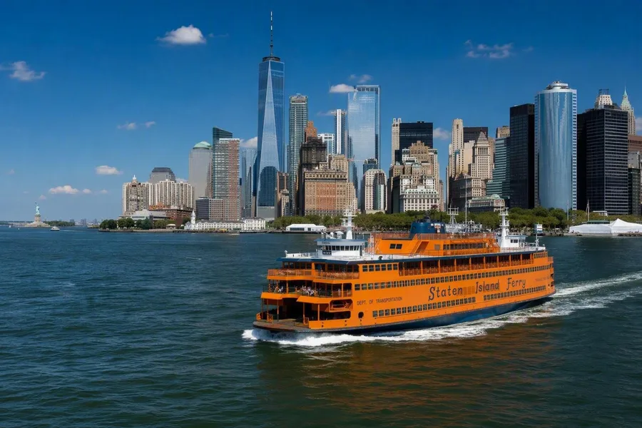 The Staten Island Ferry leaves Whitehall with Lower Manhattan behind and the Statue of Liberty ahead.
The Staten Island Ferry leaves Whitehall with Lower Manhattan behind it and the Statue of Liberty standing clear in the Upper Bay. Ferry crossings linked the islands before the bridges, and this route still serves as public transport.
The harbour shows why the financial district formed here. The Hudson meets the bay, islands sit in the approaches, and forts once guarded the channel towards Manhattan. Water gives New York a crisp introduction, but streets, subways and bridges explain much more of the wider city.
8. Rio de Janeiro: Guanabara Bay maps the terrain
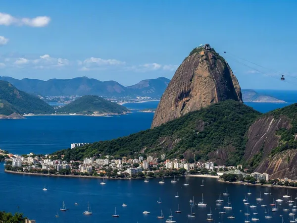
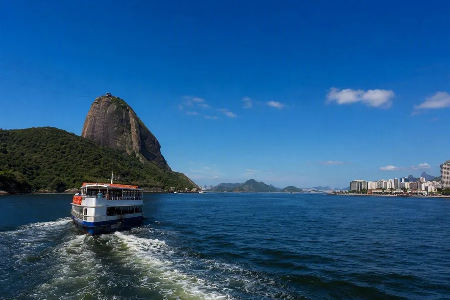 A boat crosses Guanabara Bay, with Pão de Açúcar and Niterói in view.
Rio occupies lower ground between forested slopes, granite peaks and Guanabara Bay. A boat from Marina da Glória can link the central waterfront, Niterói and the entrance by Pão de Açúcar in one broad sweep.
The narrow, hill-flanked entrance created a sheltered harbour, and forts on either side once controlled access. Shipyards still work on the bay. The old port also includes Valongo, a landing place and market complex in the transatlantic slave trade. A bay trip makes Rio's relief legible, while beaches, squares and hillside districts show more of its daily life.
7. Sydney: The ferry route to Manly
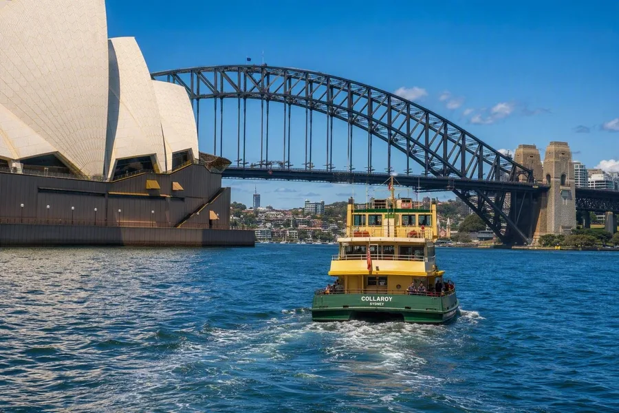 A ferry leaves Circular Quay between the Opera House and Harbour Bridge in Sydney.
The Manly ferry leaves Circular Quay between the tiled shells of the Opera House and the steel arch of the Harbour Bridge. Ferries fan out from these central wharves through Port Jackson, keeping the famous harbour a transport network as well as a public view.
The route passes Fort Denison and Garden Island, then heads for the Heads, where protected harbour water meets the open coast. Manly appears as both a suburb and a beach district. The regular ferry shows the shift from colonial waterfront and city centre to the Pacific edge more clearly than a sightseeing circuit.
6. Budapest: Two cities on the Danube
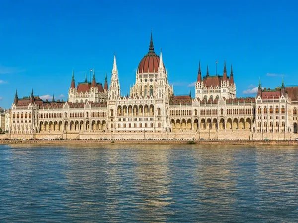
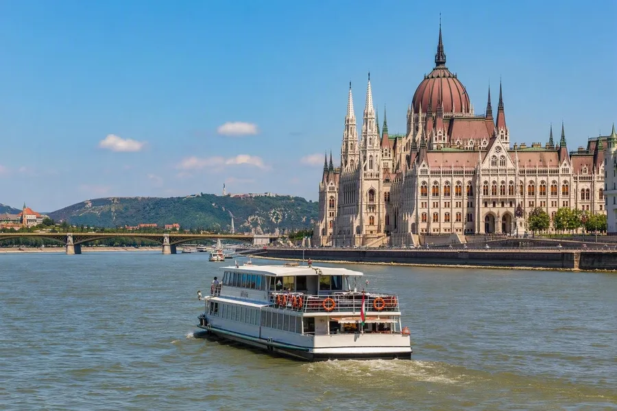 A central Danube cruise frames Parliament, bridges and the rising hills of Buda.
The Danube puts two different banks face to face. Hilly Buda rises through the castle district towards Fisherman's Bastion and Gellért Hill; flatter Pest places Parliament's long neo-Gothic façade on the river.
A central cruise from Vigadó tér lines up those landmarks with Margaret Island and the bridges between them. After dark, Parliament, Buda Castle and the Chain Bridge show how nineteenth-century Budapest turned its grand façades towards the river. Low, walkable embankments offer much of the same view from shore, which keeps Budapest below the top five.
5. Stockholm: From capital to archipelago
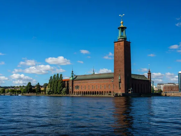
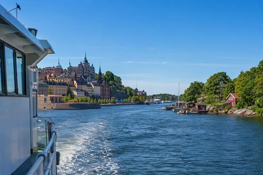 A public ferry from Stockholm approaches wooded archipelago shores near Vaxholm.
Stockholm stands on 14 islands, but its defining water view begins when a public ferry leaves the compact centre for the archipelago. On the way to Vaxholm, stone quays and close-built blocks give way to wooded shores, small jetties and red wooden summer houses.
These boats also connect commuters with inhabited islands across the Baltic landscape. The trip shows that Stockholm extends east through waterborne settlements, rather than ending at a waterfront. It ranks fifth because the clearest geographical shift starts after the central city falls behind.
4. Hong Kong: A crossing between vertical shores
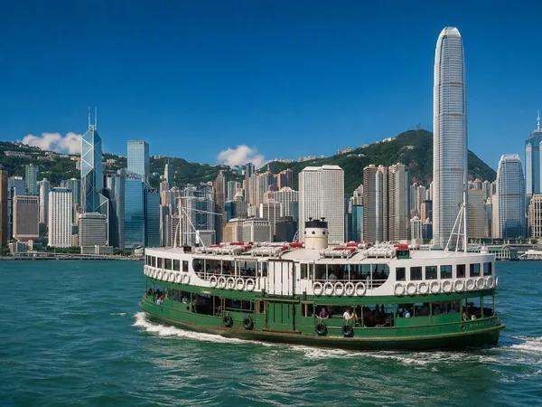
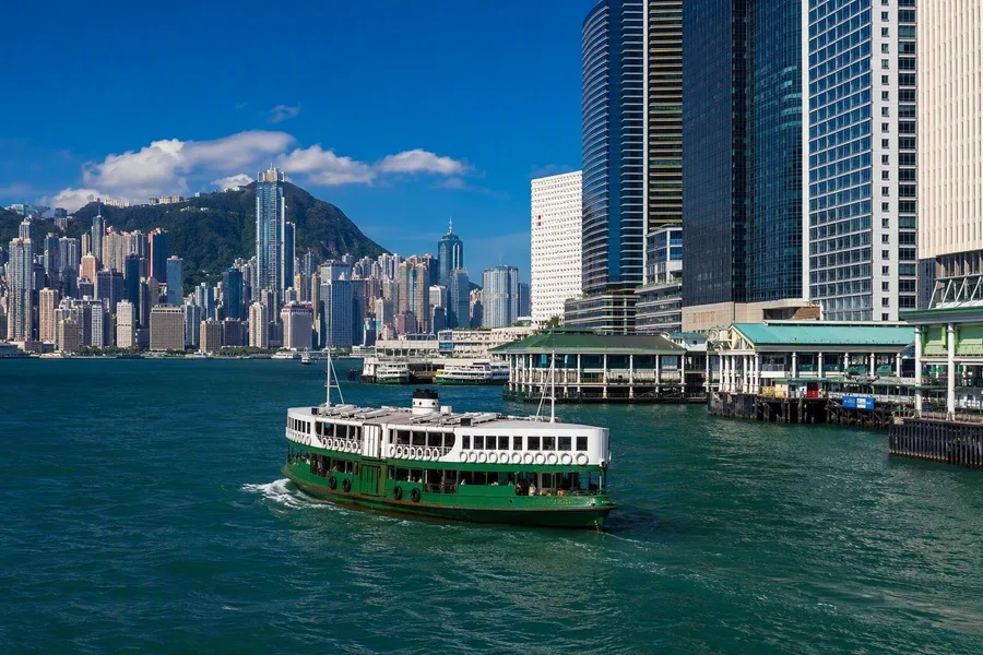 A green-and-white Star Ferry crosses Victoria Harbour between Tsim Sha Tsui and Central.
The green-and-white Star Ferry runs between Tsim Sha Tsui and Central, with Kowloon on one side and Hong Kong Island on the other. Towers climb steep slopes on both shores, while piers and boat traffic fill the channel between them.
Victoria Harbour gave ships a deep, sheltered anchorage and supported Hong Kong's growth as a trading port, with docks, shipbuilding and ferry services. The Star Ferry has connected the shores since 1898, and commuters still use its double-deck boats. Few short crossings show geography, commercial history and present-day movement so clearly at once.
3. Amsterdam: The canal ring as a city plan
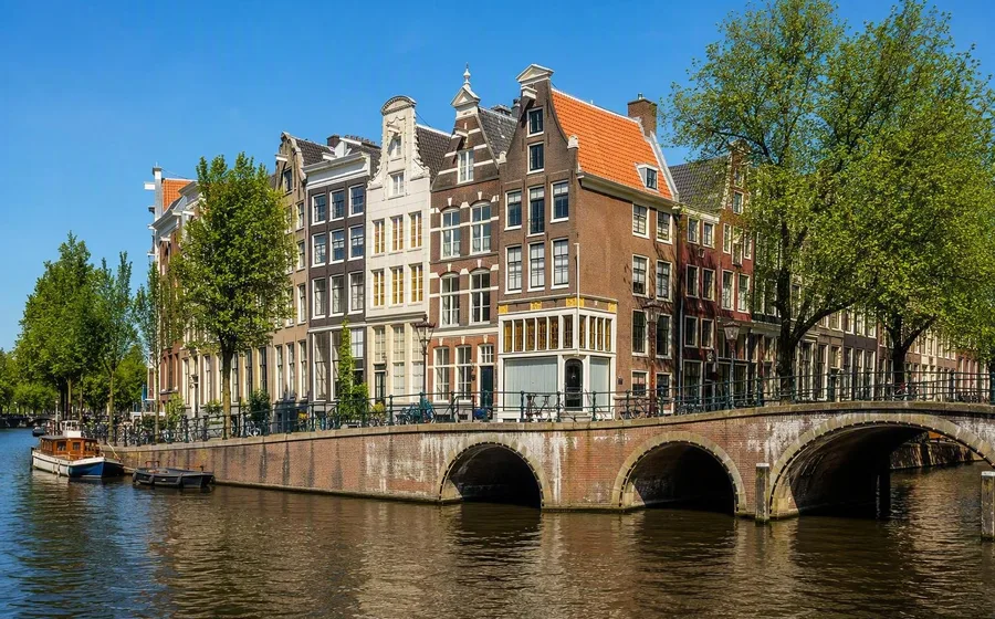
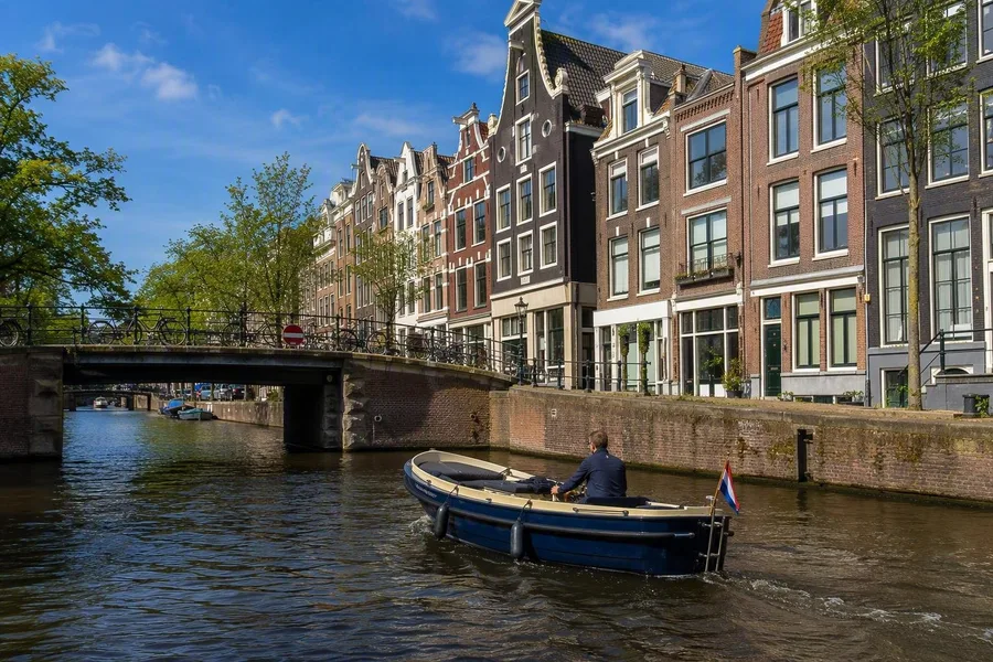 A small electric boat passes beneath a bridge among Amsterdam’s gabled canal houses.
On foot, Amsterdam's canal houses arrive one façade at a time. From a small electric boat, the seventeenth-century ring reads as a planned system of waterways, merchant houses, bridges and former warehouses.
The canals supported expansion, goods transport, drainage and defence, while leading merchants built along the Herengracht. Small boats also reach narrow waterways where bridge arches and tall gabled houses sit close to the waterline. Houseboats, cyclists on the quays and tour boats keep this old infrastructure in daily use.
2. Istanbul: A ferry across the Bosporus
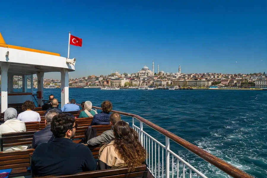 Passengers cross from Eminönü as Istanbul’s historic peninsula recedes behind the ferry.
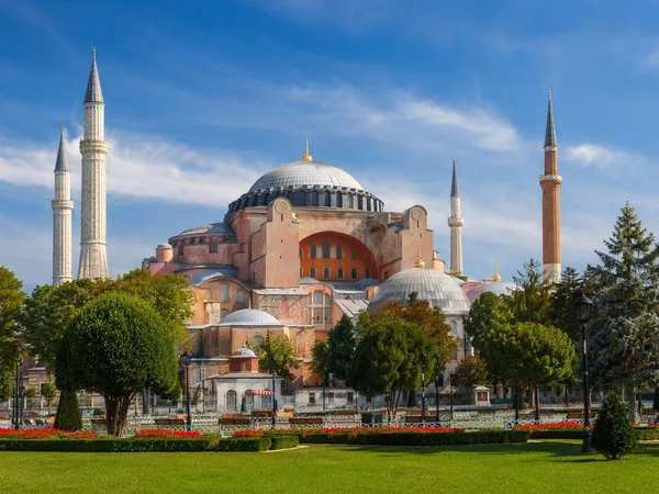
A public ferry from Eminönü to Kadıköy leaves the domes and minarets of the historic peninsula behind and approaches a busy Asian district. The crossing carries commuters as well as visitors.
The Bosporus links the Black Sea and the Sea of Marmara, dividing Istanbul between Europe and Asia. A longer public sailing adds waterfront palaces, bridges and the paired fortresses at the strait's narrowest point. From the deck, the strategic passage behind Byzantine, Ottoman and modern Istanbul becomes a physical fact rather than a line on a map.
Practicalities: Regular ferries work best in Venice, Istanbul, Hong Kong, Stockholm and Sydney because they remain part of city life. Validate a vaporetto ticket before boarding in Venice. Hong Kong's Star Ferry accepts Octopus and other payment methods, while NYC Ferry tickets are available at pier machines and in the app. Book a Guanabara Bay trip in Rio and a canal boat in Amsterdam locally; confirm Budapest sailing status if water levels are unusual. Reserve the Robben Island ferry in advance.
1. Venice: The main street is a canal
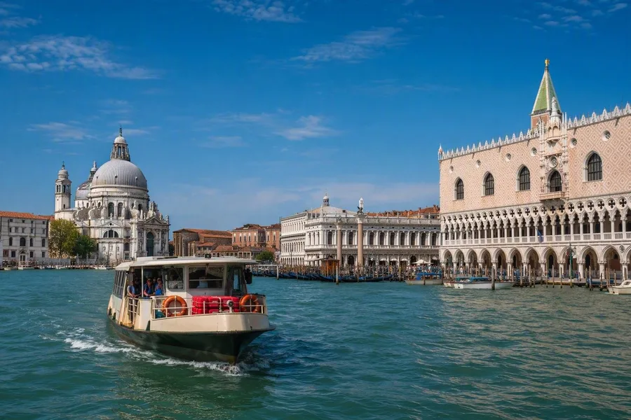 A vaporetto enters Venice’s San Marco basin between Santa Maria della Salute and the Doge’s Palace.
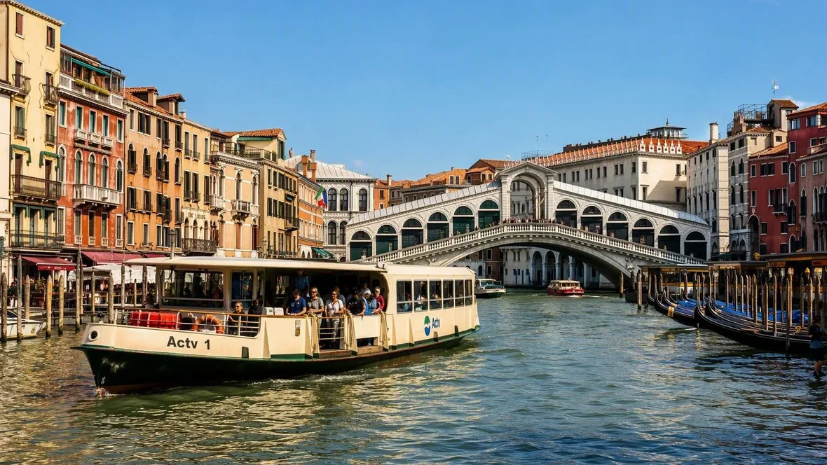
Venice wins because a boat is not an alternative viewpoint. The S-shaped Grand Canal is the city's main artery, lined with palazzi built from the Middle Ages to the baroque period. Their water entrances received goods and guests, while grand upper floors displayed family wealth.
Vaporetto 1 follows that commercial axis past the Rialto and Accademia bridges. Residents and visitors share the waterbus, so Venice's historic transport system remains part of ordinary movement rather than a preserved curiosity.
Near San Marco, the close canal walls fall away. The boat enters the basin between the dome of Santa Maria della Salute and the arcades of the Doge's Palace.
Keep exploring
Places in this story
Europe
10 landen en gebieden
Venice
Rio de Janeiro
Budapest
Stockholm
Hong Kong
Amsterdam
Amsterdam is the capital of the Netherlands, built around the Amstel and a compact historic centre of canals, narrow streets and major museums. The city is easy to cover on foot, by tram and—if you ride confidently—by bicycle.