
City · Sweden
Stockholm
Stockholm, Sweden’s capital, is a waterfront city spread across islands between Lake Mälaren and the Baltic. Its compact centre links medieval Gamla Stan, museum-rich Djurgården and the viewpoints of Södermalm.
Start with the water
Stockholm is best understood as a city of bridges, quays and short crossings. The oldest core, Gamla Stan, occupies the island of Stadsholmen; Norrmalm lies north of it, Södermalm to the south, and Djurgården east across the inlet.
Use T-Centralen as the main transport reference point. From there, central districts are straightforward to combine on foot, but water and elevation make a map more useful than distances suggest.
Gamla Stan and the civic centre
Begin in Gamla Stan, Stockholm’s medieval nucleus. Walk its narrow lanes rather than treating it as a route between sights. The Royal Palace and Stockholm Cathedral sit at its northern end; Stortorget is the old town’s historic square.
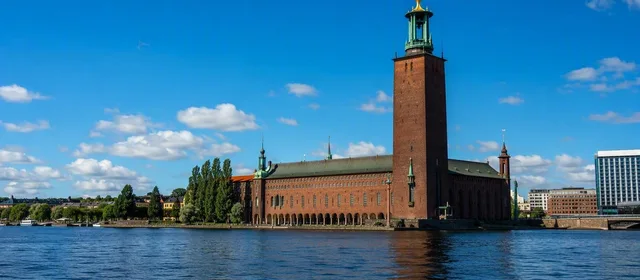
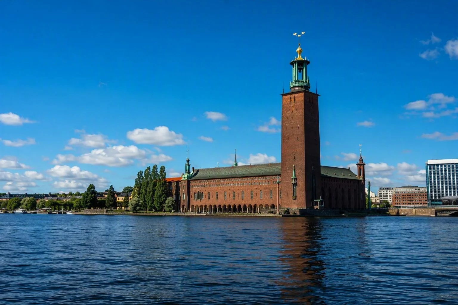
Cross towards Riddarholmen for the waterfront and continue north-west to Stockholm City Hall on Kungsholmen. The tower gives a broad reading of the city’s islands, bridges and water. Guided access and tower arrangements can vary, so plan this as a timed visit rather than an incidental stop.
Djurgården: concentrate the museums
Djurgården is the practical choice for a culture-heavy day. Its main museums and attractions sit close together, including:
- Vasa Museum — built around the preserved 17th-century warship Vasa.
- Nordiska museet — Swedish cultural history in a monumental building.
- Skansen — open-air museum and historic buildings across a hilly site.
Take tram 7 from central Stockholm, or use the commuter ferry from Slussen. The ferry is not just scenic transport: it avoids a circuitous walk around the inlet.
Södermalm and city views
Södermalm works best after the old town and Djurgården. It has galleries, independent shops and cafés, but its defining asset is its higher ground above the water. Walk Monteliusvägen for views across Riddarfjärden towards City Hall; allow time for the slope and uneven surfaces.
For a less formal water-edge walk, follow the quays around Slussen and Skeppsholmen. Keep the islands in perspective: the inner city is walkable, but each bridge commits you to a longer return than it may appear.
Getting around
SL runs the metro, commuter trains, trams, buses and selected commuter ferries. A contactless bank card or mobile device works for pay-as-you-go travel; tickets are also available in the SL app. A single ticket is valid for 75 minutes across SL services, with the final transfer made before it expires.
Important: buses do not sell cash tickets. Metro stations are only partly step-free, while inner-city buses generally have low entry or ramps. Gamla Stan’s cobbles and narrow lanes can be difficult for wheelchairs and walkers; use its wider streets and Stortorget for the easier route.
From the magazine
Stories about Stockholm
Editorial stories linked directly to Stockholm.
The 10 Cities Best Understood from the Water
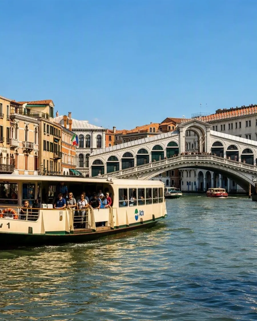
A fine skyline is not enough. In these ten cities, a ferry or small boat reveals how trade, terrain, buildings and daily travel grew around a river, canal or bay.
Eight archipelagos where the boat still matters
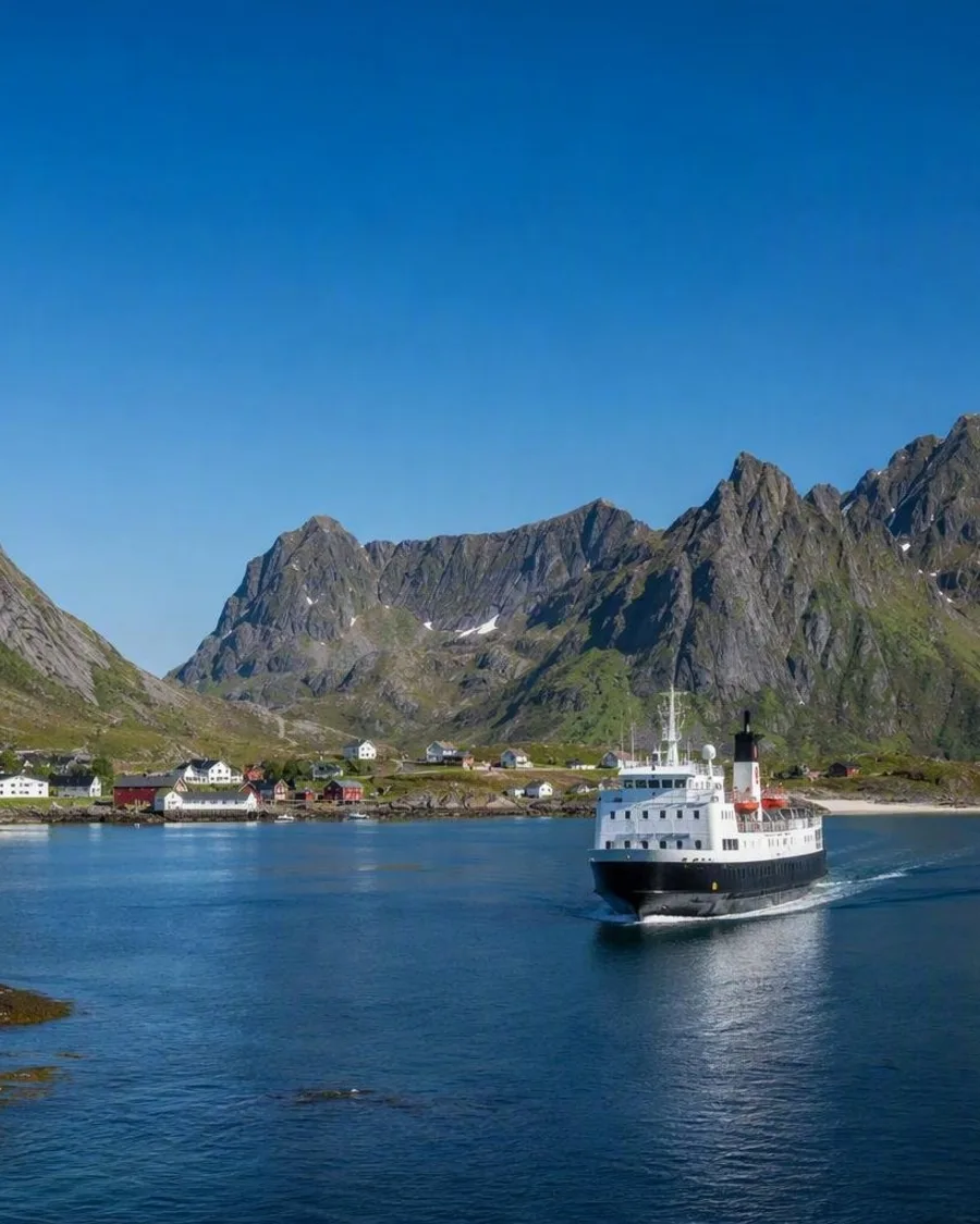
A ferry from Bodø reaches Lofoten beneath granite ridges that rise almost straight from the Norwegian Sea. Across these eight archipelagos, ferries, island flights, small launches and expedition ships make arrival part of the place.
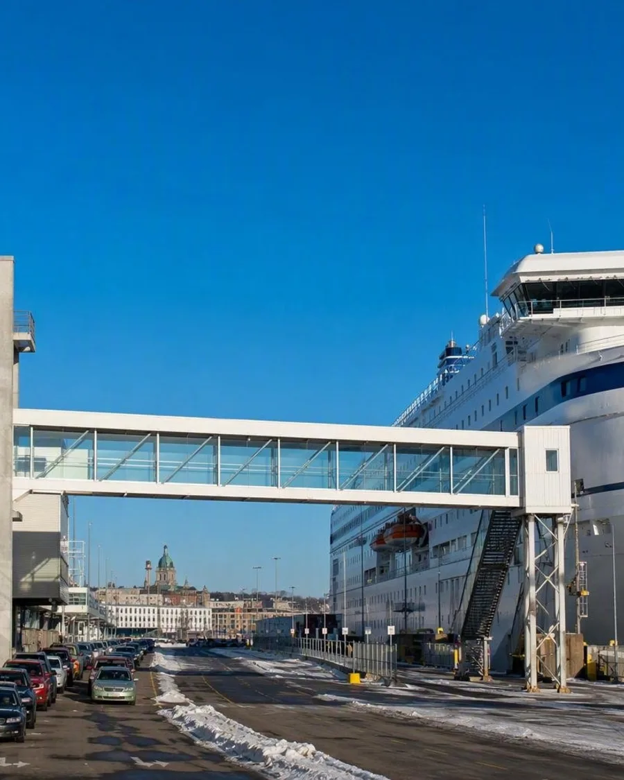
Winter Passage from Helsinki’s Olympia Terminal
At Helsinki’s South Harbour, cars take the quay road between the Olympia Terminal and the sea while foot passengers pass through a restored 1950s hall to the Stockholm ferry. Winter work stays mostly out of sight, but it matters when snow or harbour ice affects the narrow space between ship and shore.
Routes from our editors
Travel through Stockholm
Editorial routes connecting Stockholm with other countries, cities and hotspots.
No routes through Stockholm have been published yet.
More in Sweden
Related hotspots
Other cities, nature areas and places within Sweden.
There are no other hotspots in Sweden yet.