Region · China
Hong Kong
Hong Kong is a compact, high-rise region on China’s south coast, built around Victoria Harbour between Hong Kong Island and Kowloon. Its fast public transport, waterfronts and steep green slopes make it easy to combine city streets, harbour crossings and broad viewpoints in one day.
Read the geography
Victoria Harbour is the organising line of Hong Kong: Hong Kong Island lies to the south, Kowloon to the north. Central is the commercial core on the island; Tsim Sha Tsui faces it across the water. The New Territories spread northward, while Lantau and smaller outlying islands extend the region well beyond the skyscraper districts.
Use the harbour as your first reference point. It explains the city’s vertical form, its port history and the constant movement between districts.
Start on the harbour
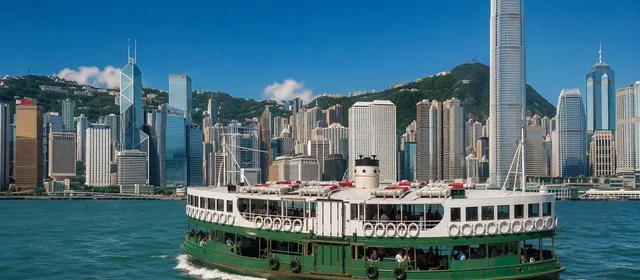
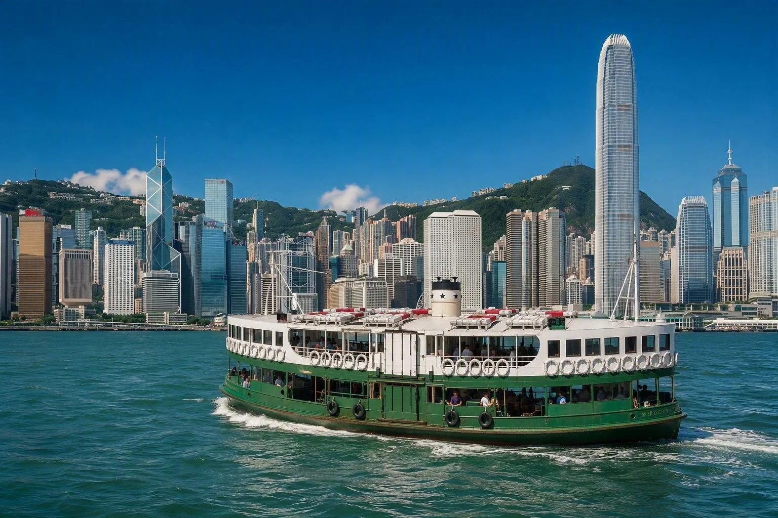
Take the Star Ferry between Tsim Sha Tsui and Central for the clearest introduction to the skyline. The green-and-white double-deck boats have linked Hong Kong Island and Kowloon since 1898; the crossing takes about 11 minutes. Pay with an Octopus card or buy a token at the pier.
On the Kowloon side, walk the Tsim Sha Tsui waterfront and Avenue of Stars. This is the direct, level vantage point towards Central’s towers. On Hong Kong Island, the harbourfront continues west and east from Central, with the ferry piers providing a useful starting point.
Go high, then go on foot
For the wider picture, take the Peak Tram from Central towards Victoria Peak. The funicular has operated since 1888 and climbs nearly 400 metres over a 1,278-metre route. At the top, the view takes in the harbour, Kowloon and the greener hills beyond the built-up core.
Back at street level, use Central and Sheung Wan for older commercial streets, temple stops, galleries and restaurants. Hong Kong Island’s double-decker trams run along the northern corridor through districts including Central, Wan Chai and Causeway Bay. They are slow but useful for seeing the street pattern rather than passing beneath it on the MTR.
Move efficiently
The MTR is the quickest backbone for urban trips; buses, trams and ferries fill the gaps. Buy or load an Octopus card for MTR journeys, buses, trams and ferries. It also works at many everyday payment points.
From Hong Kong International Airport on Lantau, the Airport Express reaches Hong Kong Island in about 24 minutes. For taxis, take the red taxis for Hong Kong Island and Kowloon, green taxis for the New Territories, and blue taxis for Lantau.
Time the waterfront
Choose late afternoon for the Tsim Sha Tsui waterfront or the Star Ferry: daylight shows the harbour’s scale, while dusk brings the building lights into view. The nightly A Symphony of Lights begins at 8pm, so expect the waterfront and ferry approaches to be busier around that time.
Hong Kong’s terrain is steep and its summer conditions can be hot, humid and wet. For Peak walks and longer harbourfront stretches, carry water and allow extra time for slopes, stairs and weather interruptions.
From the magazine
Stories about Hong Kong
Editorial stories linked directly to Hong Kong.
Routes from our editors
Travel through Hong Kong
Editorial routes connecting Hong Kong with other countries, cities and hotspots.
No routes through Hong Kong have been published yet.
More in China
Related hotspots
Other cities, nature areas and places within China.