Down the Steps of Alfama
From Portas do Sol, a compact walk drops through Alfama by stairway, lane and small square before reaching the old water ground of Largo do Chafariz de Dentro. The route shows how this old Lisbon hillside still holds front doors, groceries and daily errands alongside visitors.
Portas do Sol and the first descent
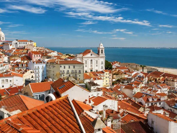
Portas do Sol stands above Alfama's roofs on the slope between Castelo de São Jorge and the Tagus. Beyond the houses, the river makes a broad band of open distance. The towers of São Miguel and Santo Estêvão and the dome of Santa Engrácia rise from the dense roofs below. From here, Rua Norberto de Araújo begins the descent.
Cobbles, steep slopes and stairways divide the walk into short stretches. In the narrowest passages, pedestrians walk in single file or step aside for one another. Shoes with grip are more useful than a brisk schedule.
The hill explains the street pattern. During the Islamic period, dense settlement spread around and below the fortified castle, and much of that spatial framework remained after the Christian conquest of 1147. Streets followed contours, plot lines and older access routes rather than a grid. Where the ground became too steep for a street, an escadinha, or stairway, took over.
That pattern separates Alfama from Baixa below. The earthquake, fires and tsunami of 1755 devastated much of Lisbon, and reconstruction gave Baixa broad, regular streets. Alfama remained a pre-earthquake core, with small buildings, uneven rooflines and passages shaped by a much older settlement.
Rua da Adiça and Beco das Canas
Rua Norberto de Araújo leads into Rua da Adiça, where closely spaced façades leave only a narrow strip of sky. Small houses stand door after door on plots set into the medieval street network. Churches and grander buildings are exceptions in this tightly packed fabric.
The close walls serve practical purposes. Windows, shutters and low openings bring light and air into homes with little space around them, while sounds and household activity readily carry between interiors and street. Residents have used thresholds, chairs, plants and the ground outside their doors as a changing edge between home and public space.
Beco das Canas bends back towards Rua da Galé. Its turns and dead ends belong to a network of crooked streets and smaller becos that adapted to the castle slope and limited direct access into the dense interior of the neighbourhood. The route handles the height in corners and short flights, not in a long straight descent.
Visitors now share these constricted streets with residents. Restored buildings, tourist accommodation, restaurants and homes stand in the same narrow runs of façades, while residents have linked short-term lets to pressure on housing. Protection involves repair to old buildings, but residential use also matters in streets where doors, steps and small shops sit so close together.
Steps and water at São Miguel
From Rua da Galé, the Escadinhas de São Miguel fall towards Largo de São Miguel. Retaining walls, broad stair flights and brief level platforms fit the route to abrupt changes in height. Plaster often covers both the retaining structures and adjoining façades, so the engineering of the hill runs directly into the walls of the houses.
Largo de São Miguel provides a small break in that compressed terrain. Steps branch beside windows and front doors, and the open patch of ground accommodates uses that the small homes cannot hold. A lioz-limestone fountain stands on a raised terrace reached by several flights of steps, placing a public water point directly on daily walking routes.
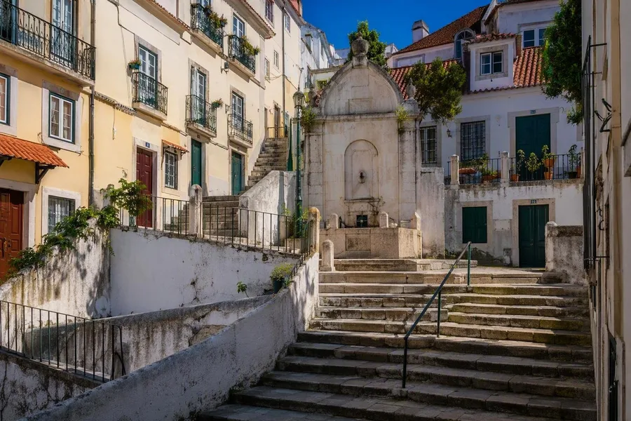 A lioz-limestone fountain stands above stairways at Largo de São Miguel in Alfama.
The Igreja de São Miguel is the square's largest structure. A chapel stood here by 1150; the present church received its Mannerist façade in 1674, with two towers, three portals and a single nave. Houses and stairways remain close around it.
Calçada de São Miguel continues downhill. Beco da Cardosa then provides the route's one short counter-climb to Largo de Santo Estêvão. On this hill, each level patch connects to another by a different run of steps.
Santo Estêvão to Rua dos Remédios
Behind Santo Estêvão church, the Calçadinha and Escadinhas de Santo Estêvão start the sustained descent to Rua dos Remédios. This street works more as a through route than the lateral stairways. In 1773, its southern side was widened after the 1755 earthquake had led to the removal of parts of the old wall and waterworks nearby.
The work remained limited. It improved passage without erasing the small plots, side alleys and steps that meet Rua dos Remédios at close intervals. The street therefore carries a little more movement while the older hillside fabric continues on either side.
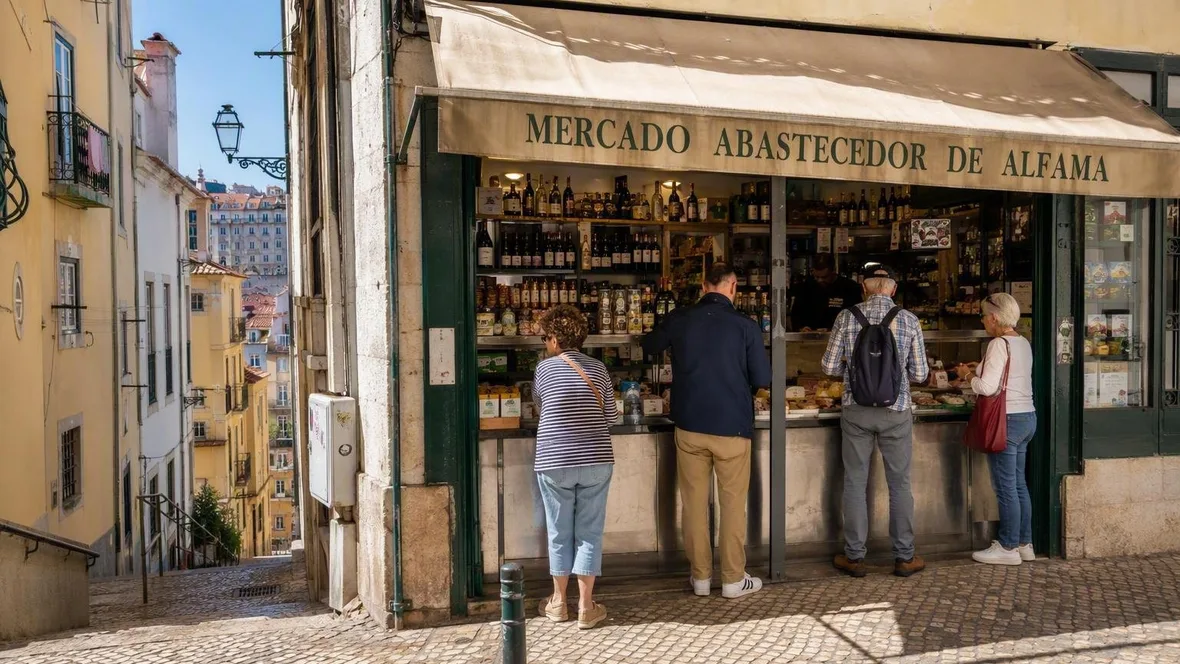
 Customers shop at Mercado Abastecedor de Alfama on Travessa do Terreiro do Trigo.
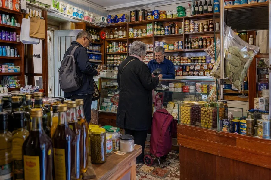
Near the lower edge, Mercado Abastecedor de Alfama, at Travessa do Terreiro do Trigo 4, has operated for more than four decades as a grocery and neighbourhood meeting point. Residents and visitors shop there, and older customers can telephone orders for delivery to their homes. Visitors often buy bread, cheese, wine and fruit; the same small shop supplies residents who remain in the area. Its counter shows the overlap plainly: tourism has brought business, while ordinary shopping still depends on a local address.
Practical note
Follow the downhill line from Portas do Sol through Rua Norberto de Araújo, Rua da Adiça, Beco das Canas, São Miguel, Santo Estêvão and Rua dos Remédios to Largo do Chafariz de Dentro. The cobbles, steep stairs and short rise through Beco da Cardosa suit an unhurried pace and shoes with grip.
Largo do Chafariz de Dentro
Rua dos Remédios reaches the broader, lower ground of Largo do Chafariz de Dentro. The name Alfama probably derives from the Arabic al-hamma, meaning warm spring, and refers to water sources at the foot of the hill. Records mention the fountain here in 1285. Towers and a gate in the Fernandine wall, built in the 1370s, once stood beside it.
From the late fifteenth century, the spring supplied ships with water. Later works added fountains and access to a washing tank, making this low ground a working waterside area as well as an entrance to the city. After the 1755 earthquake, demolition removed parts of the wall and waterworks, and the later widening of Rua dos Remédios changed the approach from above.
The Fado Museum and café terraces now face the largo. After the tight stairs and slivers of sky, the paving opens under full light, with Alfama's last descending façades rising behind the square.
Keep exploring
Places in this story
Europe
10 landen en gebieden
Portugal
Lisbon
Alfama
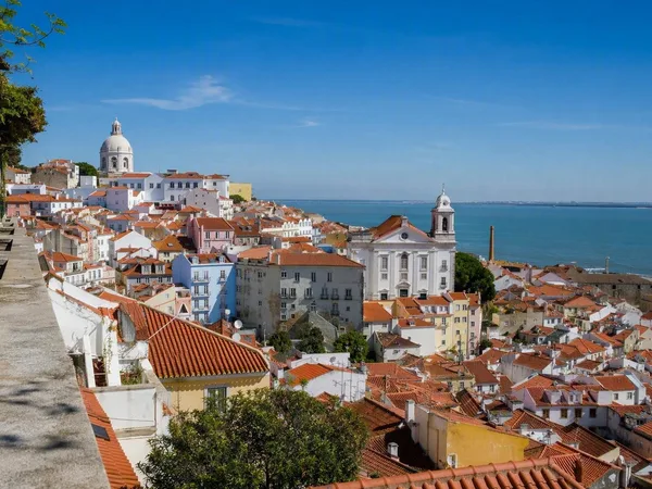
Miradouro das Portas do Sol
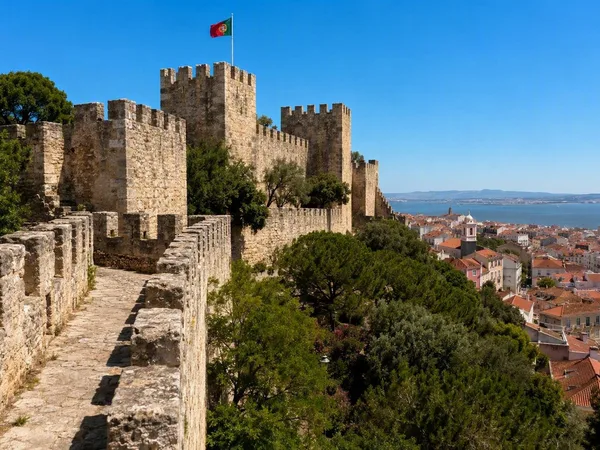
Castelo de São Jorge
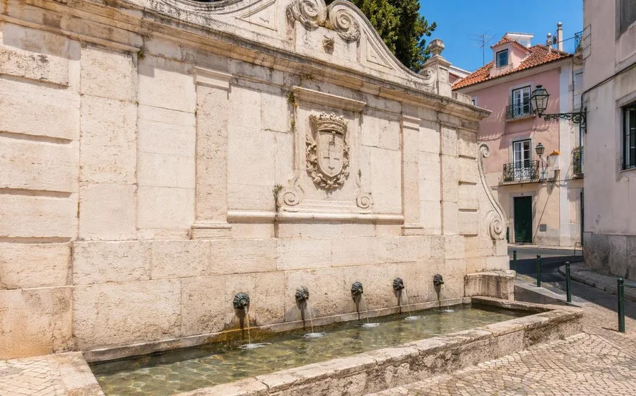
Largo do Chafariz de Dentro
Largo do Chafariz de Dentro is a small historic square at the lower edge of Alfama, Lisbon, formed around one of the neighbourhood’s oldest water sources. The Fado Museum stands at its edge, while the old fountain records the area’s practical maritime past.