
Neighbourhood · Turkey
Sarıyer, Istanbul
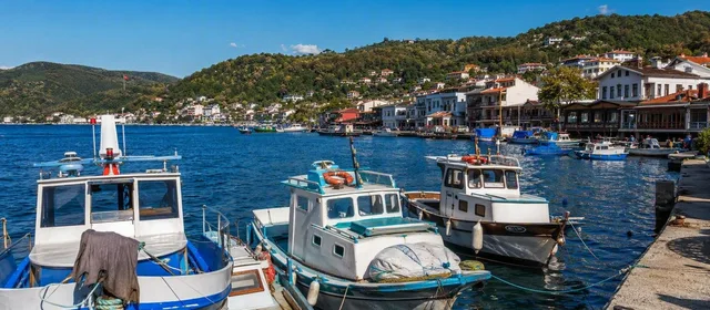
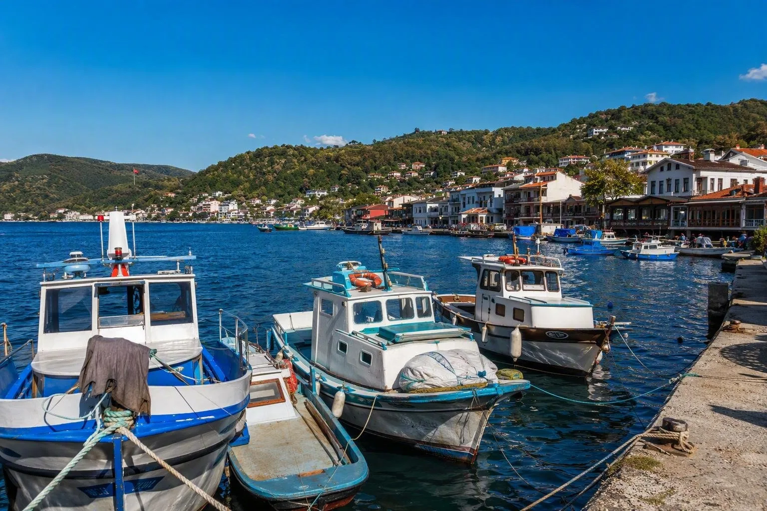
Sarıyer is Istanbul’s large northern district on the European side, running from the Bosphorus waterfront to the Black Sea and forested interior. It combines historic waterside neighbourhoods, fishing harbours, museums and major green spaces.
The shape of Sarıyer
Sarıyer is a district, not a compact neighbourhood. Its eastern edge follows the Bosphorus; its northern boundary meets the Black Sea, while forests and inland settlements fill the west. Treat it as several distinct outings rather than a place to tick off in an afternoon.
The central harbour area around Sarıyer Meydanı is the practical anchor for the northern Bosphorus: ferry pier, market streets, fish restaurants and pastry shops sit close together. Farther south, Emirgan, Yeniköy, Tarabya and Büyükdere form the waterfront sequence. Kilyos, Rumelifeneri and Garipçe belong to the Black Sea side; Belgrad Forest and Bahçeköy are inland.
Bosphorus waterfront
The shore is Sarıyer’s strongest thread. Walk short, self-contained stretches rather than attempting the whole coast.
- Emirgan: A hillside grove with three historic pavilions and Bosphorus views; pair it with the Sakıp Sabancı Museum.
- Tarabya and Büyükdere: Sheltered bays, waterfront houses, marinas and older village fabric. Büyükdere also has the Sadberk Hanım Museum.
- Central Sarıyer and Rumelikavağı: Working harbours and seafood restaurants. Ask whether fish is priced by weight or portion before ordering.
Rumeli Hisarı, in southern Sarıyer, is the major historical stop: the Ottoman fortress was built in 1452 to control passage through the Bosphorus before the conquest of Constantinople. Expect steep steps and uneven surfaces.
Forest and Black Sea routes
Keep the inland and Black Sea sides for separate days. Belgrad Forest contains walking and picnic areas as well as historic waterworks; use marked recreation areas and respect seasonal access or fire restrictions. The nearby Atatürk Arboretum is a more controlled botanical visit, with rules that differ from a public park.
For the Black Sea, choose either Kilyos for beaches or Rumelifeneri and Garipçe for small harbours, exposed coastal views and fortifications. The open sea is not an extension of the calm Bosphorus: swim only in supervised, open sections and follow flags and lifeguard instructions.
Food worth ordering
Sarıyer is associated with fish, meze and Sarıyer böreği, a savoury layered pastry sold by local bakeries. Eat börek in the morning or as a quick lunch; choose seafood from the day’s available catch rather than from a fixed list.
Getting around
The M2 metro reaches Hacıosman, from where buses connect to the waterfront and inland parts of the district. Ferries serve Sarıyer pier, but they do not replace road transport for every shoreline neighbourhood. Traffic and parking can be slow, especially on weekends. Group a day around one zone: lower Bosphorus, central/northern Bosphorus, forest, or Black Sea coast.
From the magazine
Stories about Sarıyer, Istanbul
Editorial stories linked directly to Sarıyer, Istanbul.

Routes from our editors
Travel through Sarıyer, Istanbul
Editorial routes connecting Sarıyer, Istanbul with other countries, cities and hotspots.
No routes through Sarıyer, Istanbul have been published yet.
More in Turkey
Related hotspots
Other cities, nature areas and places within Turkey.
Istanbul
2 linked stories and routes
Kadıköy
1 linked stories and routes
Karaköy
1 linked stories and routes
Eminönü
1 linked stories and routes
Golden Horn
1 linked stories and routes
Galata
1 linked stories and routes
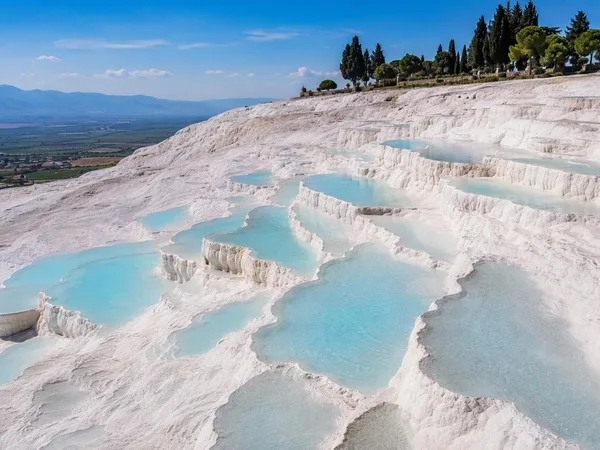
Pamukkale
1 linked stories and routes
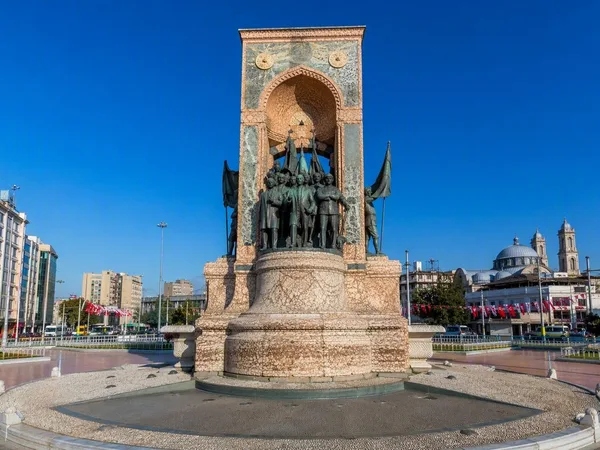
Taksim Square
1 linked stories and routes