
Sight · Turkey
Golden Horn
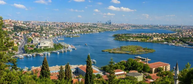
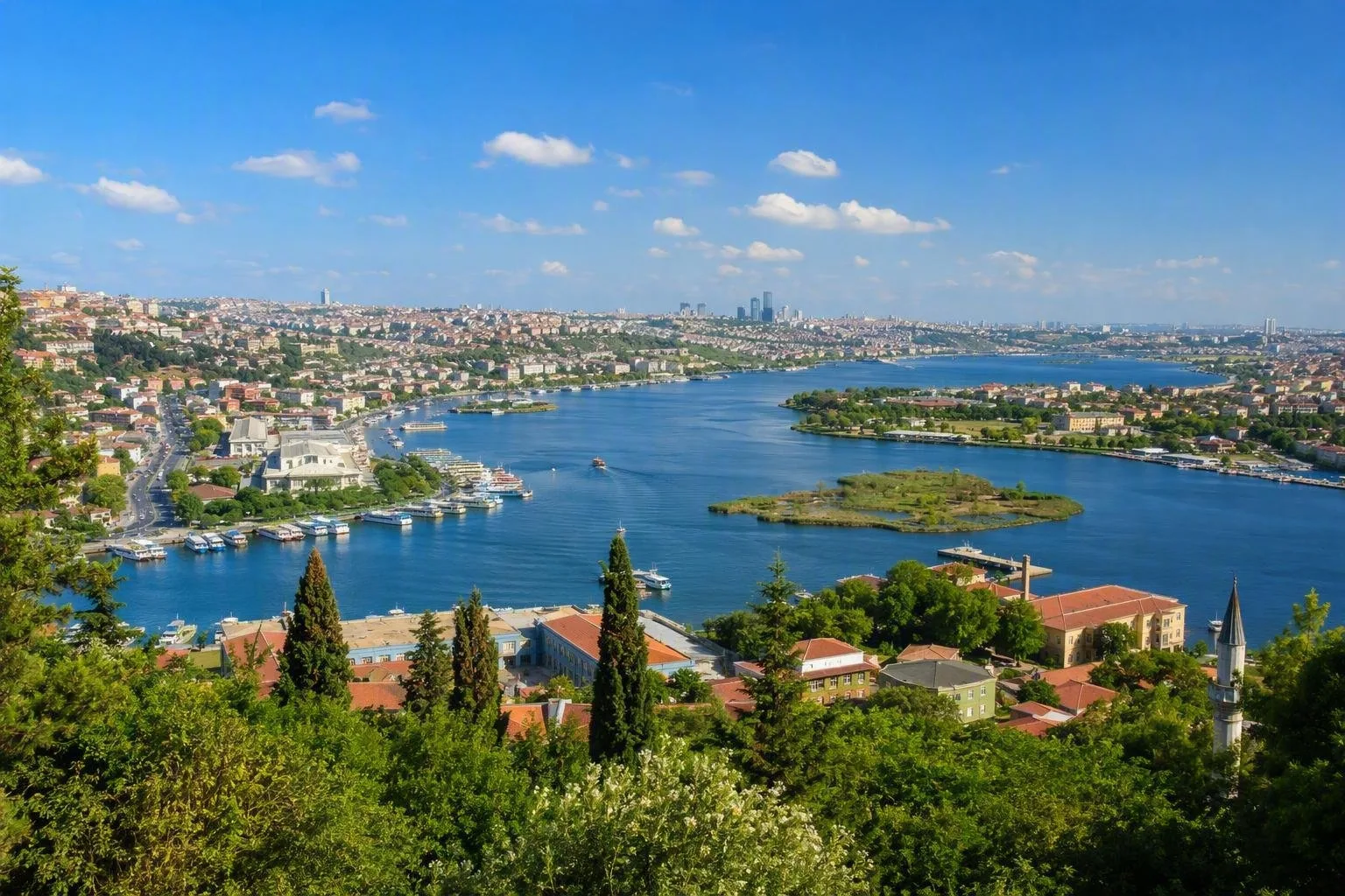
The Golden Horn, known locally as Haliç, is Istanbul’s 7.5-kilometre estuary and historic harbour on the European side. It runs inland from the Bosphorus between the Historic Peninsula and Galata, Beyoğlu and Eyüpsultan.
Orientation
The Golden Horn is not a single waterfront district but a long, horn-shaped inlet. Its mouth lies between Eminönü and Karaköy at Galata Bridge; from there it runs northwest towards Eyüpsultan and Alibeyköy. The southern bank holds the Historic Peninsula and the neighbourhoods of Cibali, Fener and Balat. Kasımpaşa, Hasköy and Sütlüce face them on the northern bank.
Use the waterway to read Istanbul’s layout: mosque domes and the older city rise south of the water, while Galata’s slopes and former shipyard districts stand to the north.
Why it matters
This sheltered inlet was Constantinople’s principal harbour. Byzantine defenders could stretch a heavy chain across its entrance; during the 1453 siege, Ottoman forces moved ships overland into the inlet behind that barrier. Ottoman naval shipyards subsequently occupied long stretches of the northern shore.
The Golden Horn remains the northern edge of the Historic Peninsula. Several heritage areas, including Süleymaniye and Zeyrek, look down towards it.
Take the ferry upstream
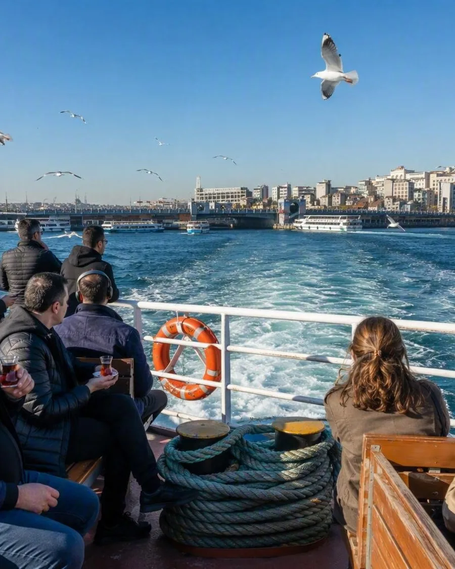
The public Haliç ferry is the most direct way to understand the full length of the inlet. It links Üsküdar, Karaköy and Eminönü with stops along the Golden Horn before Eyüpsultan. Board at Karaköy or Eminönü if you are already on the European side; an İstanbulkart is used at the pier gates.
From the boat, look for:
- Galata Bridge: the low crossing at the mouth of the inlet, linking Karaköy and Eminönü.
- Fener and Balat: historic southern-bank quarters with steep streets, churches and older house fronts.
- Hasköy: the stop for the Rahmi M. Koç Museum, housed in former industrial buildings.
- Eyüpsultan: the upper-end stop for Eyüp Sultan Mosque and the cable car to Pierre Loti Hill.
Allow about an hour for the through journey and longer if getting off. Timetables vary by day and season.
Explore the banks
For a land-based route, the T5 tram follows the southern shore between Eminönü and Alibeyköy. It is useful for Fener, Balat, Ayvansaray and Eyüpsultan; combine it with short walks rather than attempting the whole shore on foot.
Fener and Balat reward a slow uphill walk from the waterfront. Key stops include the Ecumenical Patriarchate in Fener and the cast-iron Bulgarian St Stephen Church on the Balat waterfront. These are active religious places: dress modestly and respect services.
At Eyüpsultan, take the TF2 cable car or the cemetery path to Pierre Loti Hill. The terrace looks down the full sweep of the inlet, making its curve, bridges and opposing banks legible at once.
Practical timing
The shoreline itself is open public space. Start at Galata Bridge in the morning for a compact walk and ferry connection, or arrive at Eyüpsultan later in the day for the high viewpoint. Wind is stronger on exposed ferry decks; use the enclosed cabin when needed.
From the magazine
Stories about Golden Horn
Editorial stories linked directly to Golden Horn.
Routes from our editors
Travel through Golden Horn
Editorial routes connecting Golden Horn with other countries, cities and hotspots.
No routes through Golden Horn have been published yet.
More in Turkey
Related hotspots
Other cities, nature areas and places within Turkey.
Istanbul
2 linked stories and routes
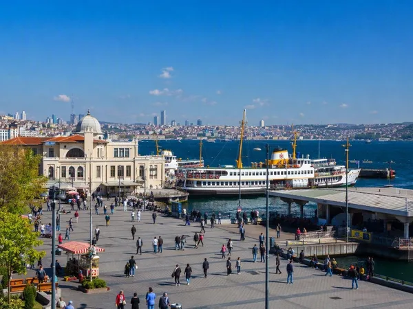
Kadıköy
1 linked stories and routes
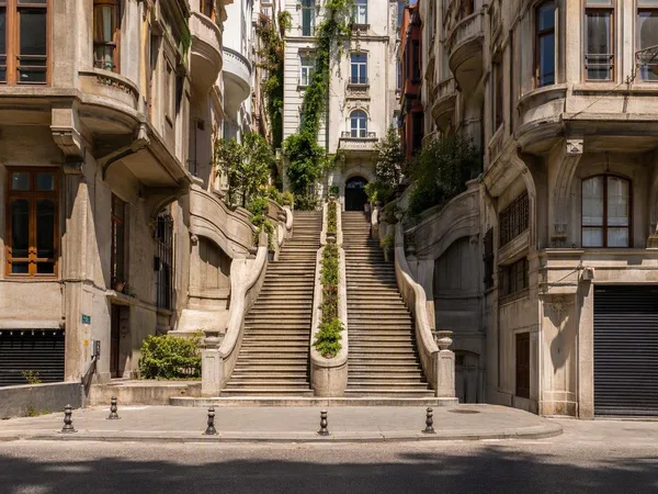
Karaköy
1 linked stories and routes
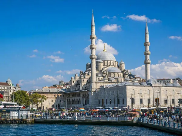
Eminönü
1 linked stories and routes
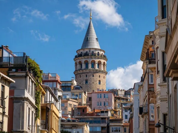
Galata
1 linked stories and routes
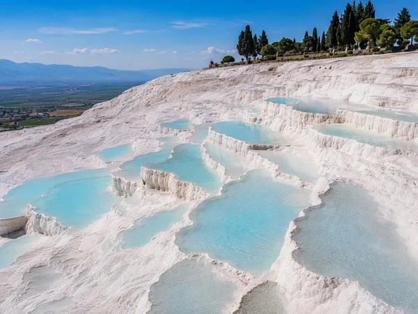
Pamukkale
1 linked stories and routes
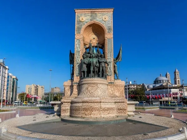
Taksim Square
1 linked stories and routes
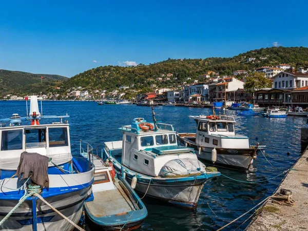
Sarıyer, Istanbul
1 linked stories and routes