Nature area · Saudi Arabia
Wadi Hanifah
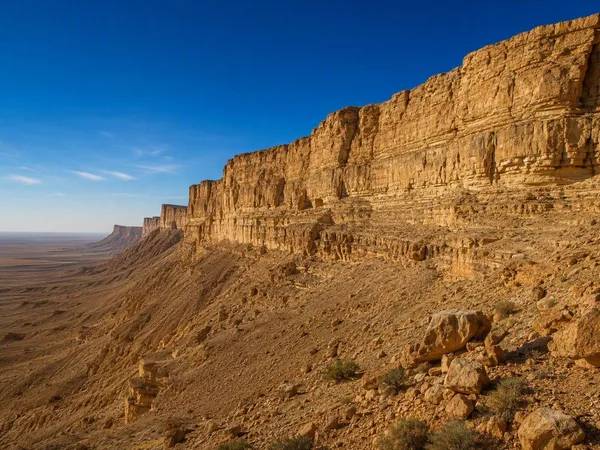
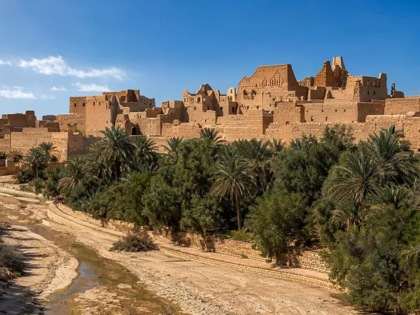
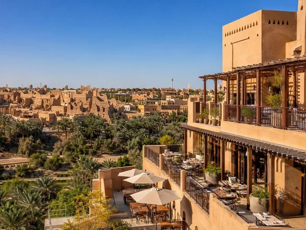
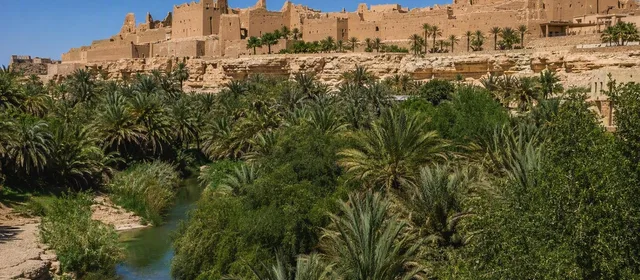
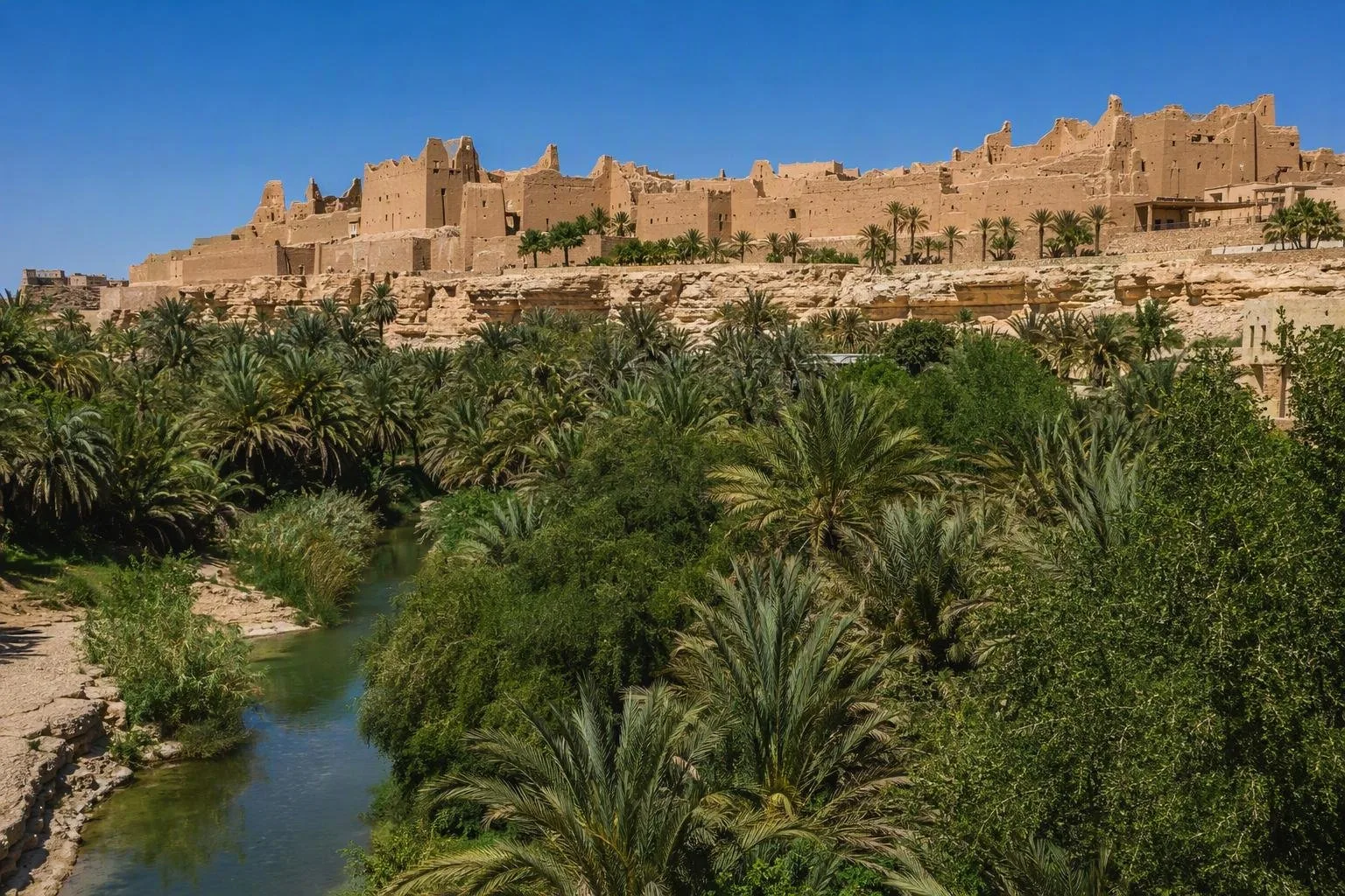
Wadi Hanifah is the long seasonal valley that crosses the Najd plateau and the Riyadh area of central Saudi Arabia. At Diriyah, its palms, limestone banks and watercourse form the setting below At-Turaif’s earthen citadel.
The valley at a glance
Wadi Hanifah runs roughly 120 kilometres from the northern highlands through Riyadh towards Al-Ha’ir and the sands farther south. It is a broad drainage corridor, not a single park or attraction with one entrance: its width ranges from about 100 metres to nearly one kilometre, and its depth from 10 to 100 metres.
The Diriyah stretch is the most useful starting point for visitors interested in the landscape’s historical role. At-Turaif rises on the western side of the wadi, while Bujairi lies on the eastern bank. Palm gardens, light-brown limestone and the valley floor explain why settlement and agriculture took hold here.
Why it matters
The wadi’s water, fertile soil and vegetation sustained settlement and farming long before modern Riyadh expanded around it. Diriyah developed on its banks, and the valley supplied the agricultural base for the historic town.
Its present landscape is also an environmental restoration project. A rehabilitated corridor runs from Al-Alb Dam in Diriyah south towards Al-Ha’ir. Water management separates perennial flow, seasonal floodwater and exceptional flood conditions. An open channel, rock formations and weirs help clean and carry water through parts of the valley.
What to see in Diriyah
Treat the wadi as the foreground to Diriyah’s heritage districts rather than as a standalone monument.
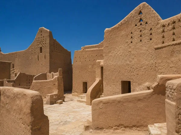
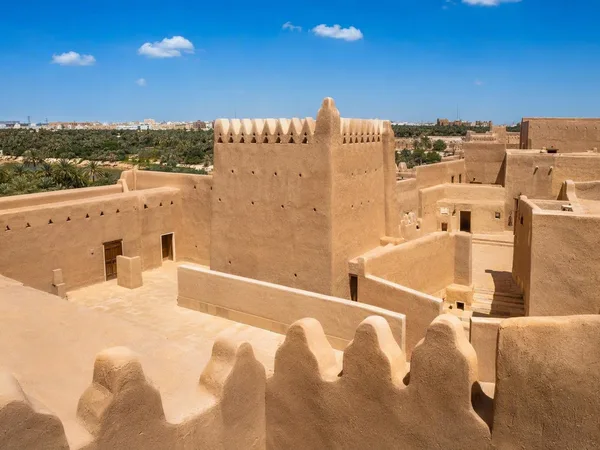
- At-Turaif views: Look down to the palms and wadi floor from the mud-brick district. The contrast between cultivated valley and defensive high ground is the essential view.
- Bujairi bank: The eastern side offers a direct perspective across the valley towards At-Turaif; historic palm gardens are part of the district’s setting.
- Landscape details: Watch for limestone shelves, planted banks, channels and weirs. These are working elements of a restored drainage landscape, not ornamental water features.
Walking the corridor
Paths, roads and visitor facilities are distributed along a very large area, so choose one access point rather than attempting to follow the full valley. The restoration programme created walking routes in selected scenic sections, alongside local roads, crossings and rest facilities.
For a heritage-focused visit, pair a short valley walk or viewpoint with Diriyah. Use a car or ride-hailing service to move between sections; the wadi’s scale makes it impractical to navigate as one continuous pedestrian site.
Conditions and access
Go early or late in the day during hot weather. Conditions, shade and open paths vary sharply by section.
Important: this remains a flood-drainage valley. Do not enter the channel or low-lying banks during rain, flood warnings or when water levels rise. Access routes in Diriyah can change during ongoing development; use the designated public approaches and respect closed sections.
From the magazine
Stories about Wadi Hanifah
Editorial stories linked directly to Wadi Hanifah.
No stories about Wadi Hanifah have been published yet.
Routes from our editors
Travel through Wadi Hanifah
Editorial routes connecting Wadi Hanifah with other countries, cities and hotspots.
No routes through Wadi Hanifah have been published yet.
More in Saudi Arabia
Related hotspots
Other cities, nature areas and places within Saudi Arabia.