
Sight · Israel
Second Temple Model
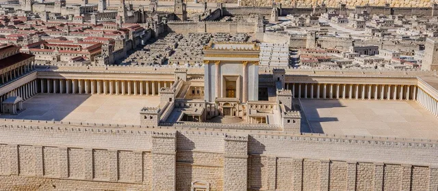
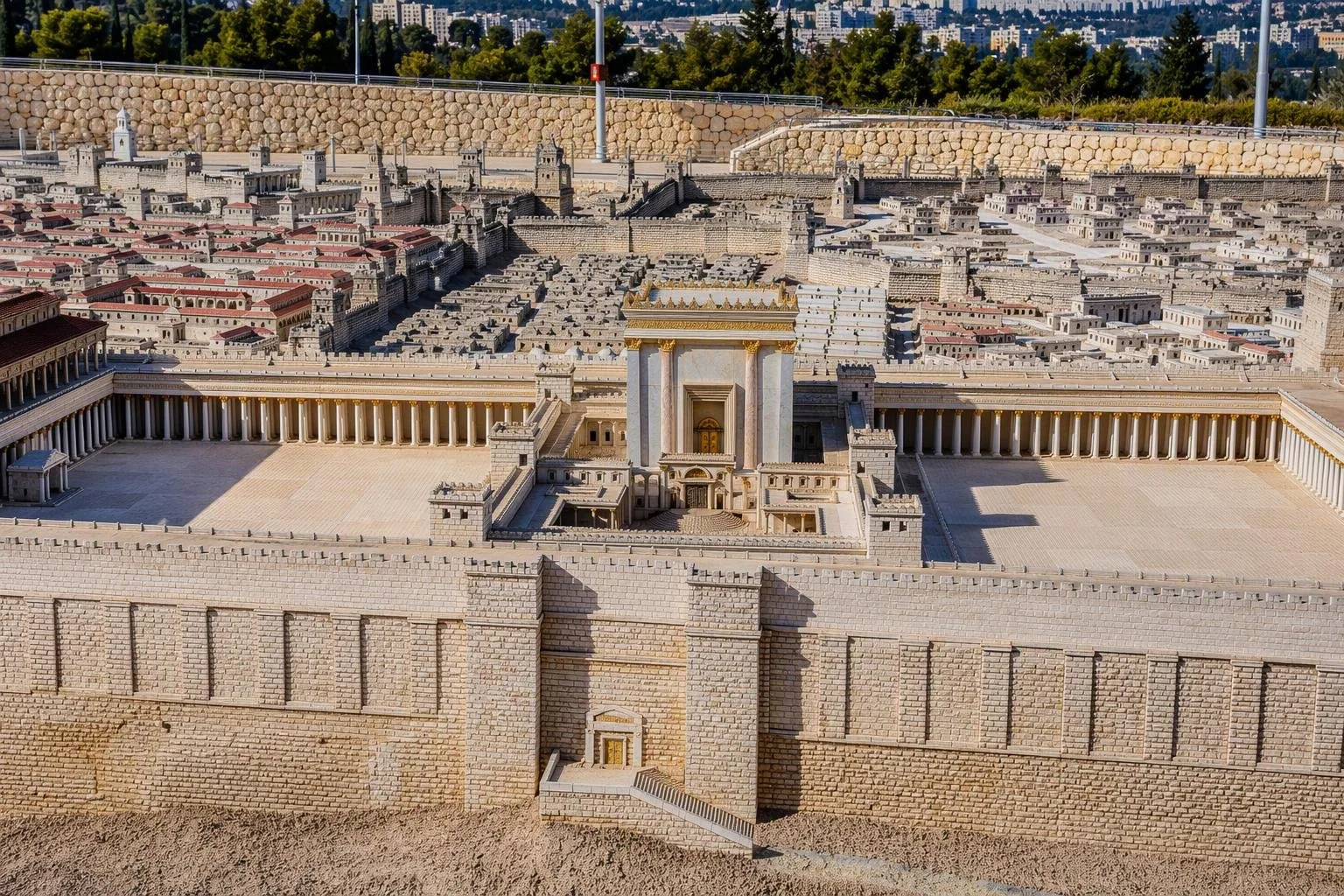
At the Israel Museum in Jerusalem, the Second Temple Model is a large outdoor 1:50 reconstruction of Jerusalem in 66 CE, immediately before the revolt against Rome. It turns the city’s ancient topography, Temple precinct and neighbourhoods into a walk-around map.
What this model shows
The Second Temple Model reconstructs Jerusalem at its late Second Temple peak in 66 CE. It presents a city on the eve of the Great Revolt against Rome, which ended with the destruction of the Temple and city in 70 CE.
At 1:50 scale, the model makes the city’s terrain legible. Jerusalem spreads across two ridges, divided by the Tyropoeon Valley: the Temple Mount and City of David to the east, and the Upper City on the western hill. The Temple precinct is the obvious centrepiece, but the value lies in seeing its relationship to walls, streets, residences, palaces and water installations.
How to read it
Start with the Temple Mount, then work outward rather than trying to identify every building at once. The model is strongest as a map of connections:
- Temple Mount: the sacred enclosure and its dominant place in the city.
- Upper City: the elevated western district, corresponding broadly to the area of today’s Mount Zion and Jewish and Armenian Quarters.
- City of David: the southern spur east of the Tyropoeon Valley.
- Northern expansion: the growing city beyond its older core.
The streets, monumental structures and public works show a city shaped by Hellenistic-Roman urban forms, while the single Temple precinct expresses its distinct Jewish religious character.
A reconstruction, not a ruin
This is an informed historical reconstruction, not a surviving ancient city or a final archaeological verdict. Michael Avi-Yonah developed the model from excavated evidence, ancient texts and comparisons with Roman-period architecture. Its physical detail is useful precisely because it turns fragmentary evidence into a coherent whole—but individual features remain interpretive.
Use it to understand scale, elevation and spatial relationships. Do not treat every roofline or building placement as settled fact. That distinction matters most in areas where the ancient evidence is limited.
Location on the museum campus
The model stands outdoors at the Israel Museum, beside the Shrine of the Book. Pair the two: view the city first, then see the Dead Sea Scrolls and related material from the same broad period. The outdoor setting means sun, heat or rain can affect the visit.
Allow time to circle the perimeter and look from more than one side. An elevated, oblique view makes the Temple Mount, valleys and hilltop districts easiest to read.
Practical approach
Enter through the Israel Museum at Derech Ruppin 11 in Jerusalem. The model is part of the museum campus rather than a separate Old City site. Museum access arrangements and opening times govern visits; occasional guided tours combine the model with the Shrine of the Book.
From the magazine
Stories about Second Temple Model
Editorial stories linked directly to Second Temple Model.
No stories about Second Temple Model have been published yet.
Routes from our editors
Travel through Second Temple Model
Editorial routes connecting Second Temple Model with other countries, cities and hotspots.
No routes through Second Temple Model have been published yet.
More in Israel
Related hotspots
Other cities, nature areas and places within Israel.
Jerusalem
3 linked stories and routes
Qumran
1 linked stories and routes
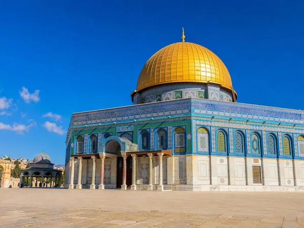
Temple Mount (Haram al-Sharif)
1 linked stories and routes
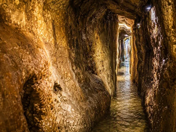
City of David
1 linked stories and routes
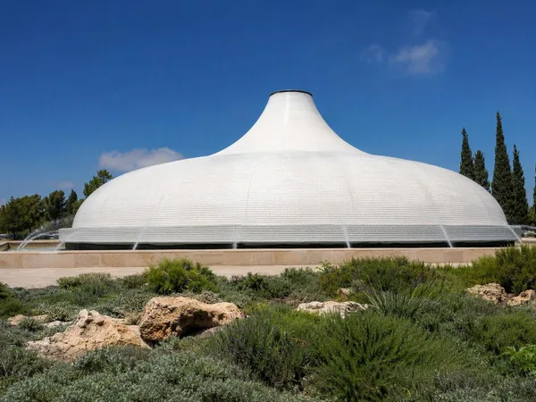
Givat Ram, Jerusalem
1 linked stories and routes
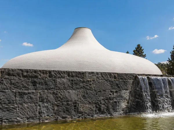
Israel Museum
1 linked stories and routes
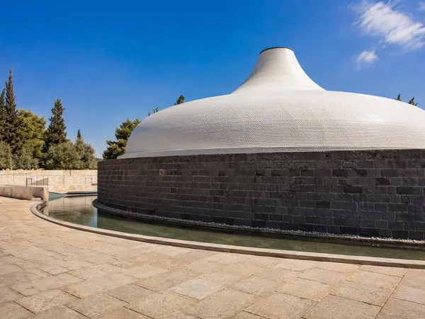
Shrine of the Book
1 linked stories and routes
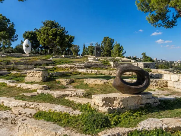
Billy Rose Art Garden
1 linked stories and routes