
Region · Greece
Cyclades
The Cyclades are a Greek archipelago in the central Aegean, spread around the sacred island of Delos. Their dry, stone-built islands range from ferry hubs and large villages to small, sparsely served ports.
The archipelago at a glance
The Cyclades are not one island but a wide Aegean island group. Delos sits at their symbolic centre; the name refers to the imagined circle of islands around it. Naxos is the largest island, while Syros is the administrative centre. The landscape changes sharply between islands: granite and terraces, volcanic coasts, sandy bays, cultivated valleys and dense whitewashed settlements all belong here.
For a first route, choose islands by ferry geography, not by a checklist. Northern islands such as Andros, Tinos and Mykonos sit on different lines from the western and southern islands, including Milos, Sifnos, Ios and Santorini.
What defines the Cyclades
White cubic houses, narrow lanes, dry-stone walls and small chapels are recurring features, but they are not the whole story. The group includes:
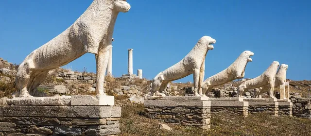
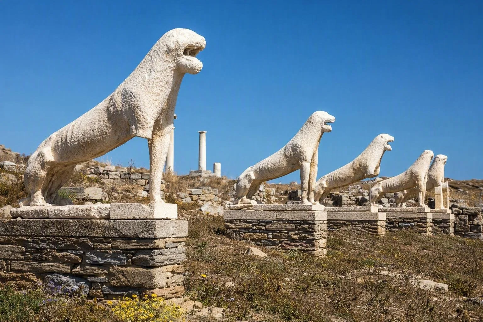
- Delos: a UNESCO-listed archaeological island near Mykonos, with sanctuaries, houses, mosaics, a theatre and the Terrace of the Lions.
- Naxos and Paros: larger, more varied islands with inland villages as well as ports and beaches.
- Milos and Santorini: volcanic landscapes; Santorini’s caldera and Milos’s sculpted coast are products of that geology.
- Sifnos, Tinos and Syros: strong traditions in pottery, marble craft and port-city architecture respectively.
Treat Delos as a dedicated excursion rather than an overnight stop: it is an archaeological site, reached by boat from Mykonos.
Arriving and moving between islands
Ferries are the practical backbone. Piraeus has the broadest network, especially for central, western and southern Cyclades. Rafina is useful for Andros, Tinos and Mykonos; Lavrio serves selected routes, notably Kea and Kythnos.
Build an itinerary around direct sailings and avoid assuming that neighbouring islands have a daily connection. Conventional ferries are slower but carry vehicles and are generally steadier; high-speed vessels cut time but can be more exposed to rough conditions. On each island, buses cover some principal routes, but coverage varies. A car or scooter is most useful on larger islands; compact old towns are usually best handled on foot.
Timing and weather
May, June and September combine workable ferry networks with less pressure than the peak. July and August bring the fullest schedules, higher demand and the meltemi, a strong northerly wind that can make crossings rough or disrupt high-speed services. Winter travel is possible on main routes but offers far fewer connections.
Leave a buffer before a flight or an international departure. In summer, secure the key ferry legs early, especially when travelling with a vehicle or connecting to a smaller island.
Practical route choices
Give each island enough time to function as a place rather than a ferry stop. A short circuit works best when it follows one corridor—for example, Paros and Naxos, or Sifnos and Milos—rather than crossing the whole archipelago. Use a final night on the island with your airport or mainland ferry connection when the schedule matters.
From the magazine
Stories about Cyclades
Editorial stories linked directly to Cyclades.
Routes from our editors
Travel through Cyclades
Editorial routes connecting Cyclades with other countries, cities and hotspots.
No routes through Cyclades have been published yet.
More in Greece
Related hotspots
Other cities, nature areas and places within Greece.
There are no other hotspots in Greece yet.