Island · Greece
Anafi
Anafi is a small, rugged Cycladic island east of Santorini, defined by whitewashed Chora, sandy southern coves and the vast Kalamos rock at its eastern tip.
Orientation
Anafi lies at the southeastern edge of the Cyclades, east of Santorini. Its port is Agios Nikolaos; the main settlement, Chora, stands uphill on the south side. Chora is the island’s working base for rooms, food and everyday supplies, built over the remains of a Venetian castle.
This is a compact island, but its terrain is dry, hilly and exposed. Walking routes, beaches and sights are spread out rather than gathered around the port.
Chora and the island’s past
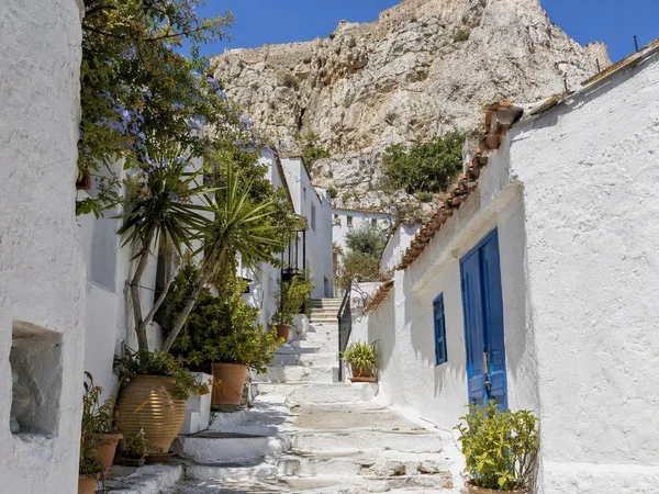
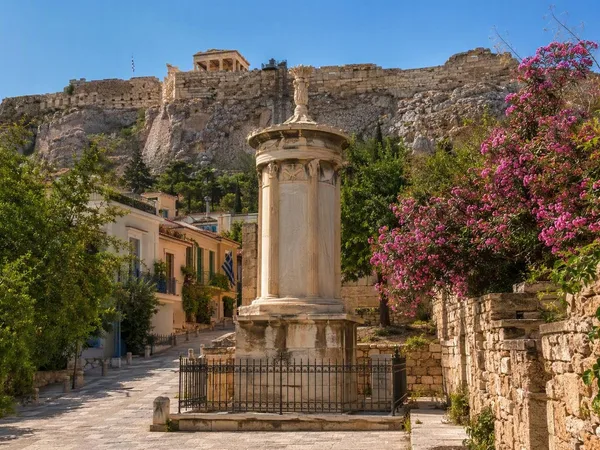
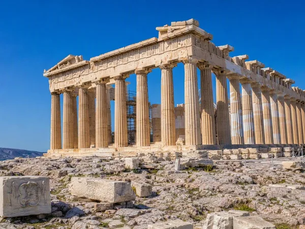
Start in Chora’s whitewashed lanes, where vaulted houses, stone paving and small squares give the settlement its spare Cycladic form. Anafi’s builders carried elements of this architecture to Athens in the 19th century, creating the Acropolis-side district of Anafiotika.
For older layers, head to Kastelli, the site of ancient Anafi above Chora and Roukounas. Sections of fortification, tombs, sarcophagi and architectural fragments survive from Hellenistic and Roman periods. The Archaeological Collection of Anafi in Chora displays finds from Kastelli and elsewhere on the island; its limited opening days make it a stop to plan rather than assume.
Kalamos and the monasteries
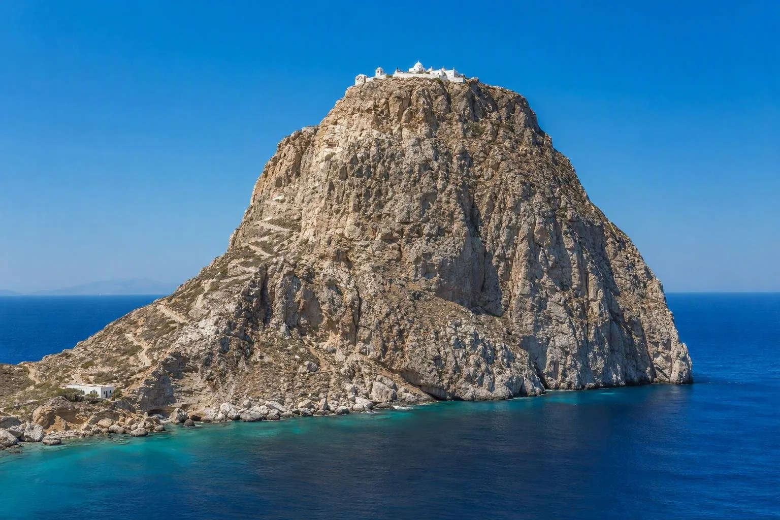
Kalamos is Anafi’s defining landform: a limestone monolith rising about 460 metres at the eastern end of the island. At its summit, the white Monastery of Panagia Kalamiotissa stands above the Aegean. The uphill route begins near the lower monastery and takes about an hour; it is a serious ascent, not a casual stroll. Take water, sturdy shoes and allow for wind and heat.
At the foot of the rock, Zoodochos Pigi occupies the site of the ancient sanctuary of Apollo Aiglitis. Ancient remains are incorporated into the monastery enclosure. The annual Kalamiotissa feast takes place around 7–8 September.
Beaches and walking
Anafi’s best-known beaches run along the south and southeast coast.
- Klisidi: near the port, sandy and the simplest first swim.
- Roukounas: the largest beach, with sand, rock and tamarisk shade.
- Katsouni and Livoskopos: smaller coves farther along the coast.
- Agioi Anargyroi: a small beach below its chapel, reached by a short path.
A network of traditional paths links Chora with beaches, chapels and Kalamos. Follow marked routes, keep to paths in protected areas and do not collect plants.
Getting there and around
Anafi has no airport. Ferries call at Agios Nikolaos; a common flight-and-ferry approach is via Santorini, with the crossing taking roughly one to one-and-a-half hours. Ferry services are weather- and season-dependent, so build flexibility into an itinerary.
Local bus connections serve key points including Klisidi and Roukounas, followed by short walks. For remote coves and hiking starts, do not rely on frequent transport: carry water and arrange the return leg before setting off.
From the magazine
Stories about Anafi
Editorial stories linked directly to Anafi.
No stories about Anafi have been published yet.
Routes from our editors
Travel through Anafi
Editorial routes connecting Anafi with other countries, cities and hotspots.
No routes through Anafi have been published yet.
More in Greece
Related hotspots
Other cities, nature areas and places within Greece.