
City · Nicaragua
Rivas
Rivas is the departmental capital in southwest Nicaragua, set on the narrow isthmus between Lake Cocibolca and the Pacific. It is a working city with a protected historic core and an important road connection point for southern Nicaragua.
Orientation
Rivas is the capital of Rivas Department, inland on Nicaragua’s southwest isthmus. The city is separate from the lake port of San Jorge and from the Pacific beach towns; treat it as an urban stop with its own historic centre, market life and transport role.
The compact centre is laid out around parks, churches and low-rise streets. It is easy to cover the central area on foot, while the Pan-American Highway runs outside the historic core.
Historic centre
Rivas was raised to town status in 1720 as the Villa de la Purísima Concepción de Rivas and became a city in 1835. Its position on the nineteenth-century Nicaragua Transit Route made it a strategic passage between the lake and the Pacific side.
The city is designated National Historical and Cultural Heritage. Its protected fabric includes churches, civic buildings, old houses, Parque Evaristo Carazo and the tomb of Enmanuel Mongalo y Rubio. Keep an eye out for tiled roofs, broad verandas and older one-storey façades rather than expecting a museum-style precinct.
Start at San Pedro
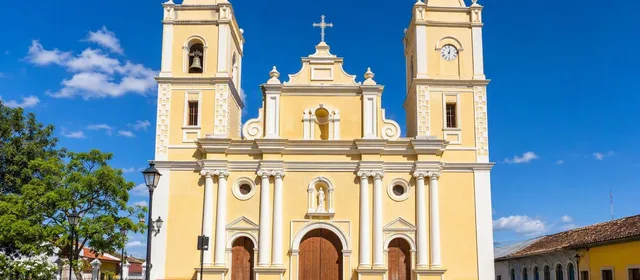
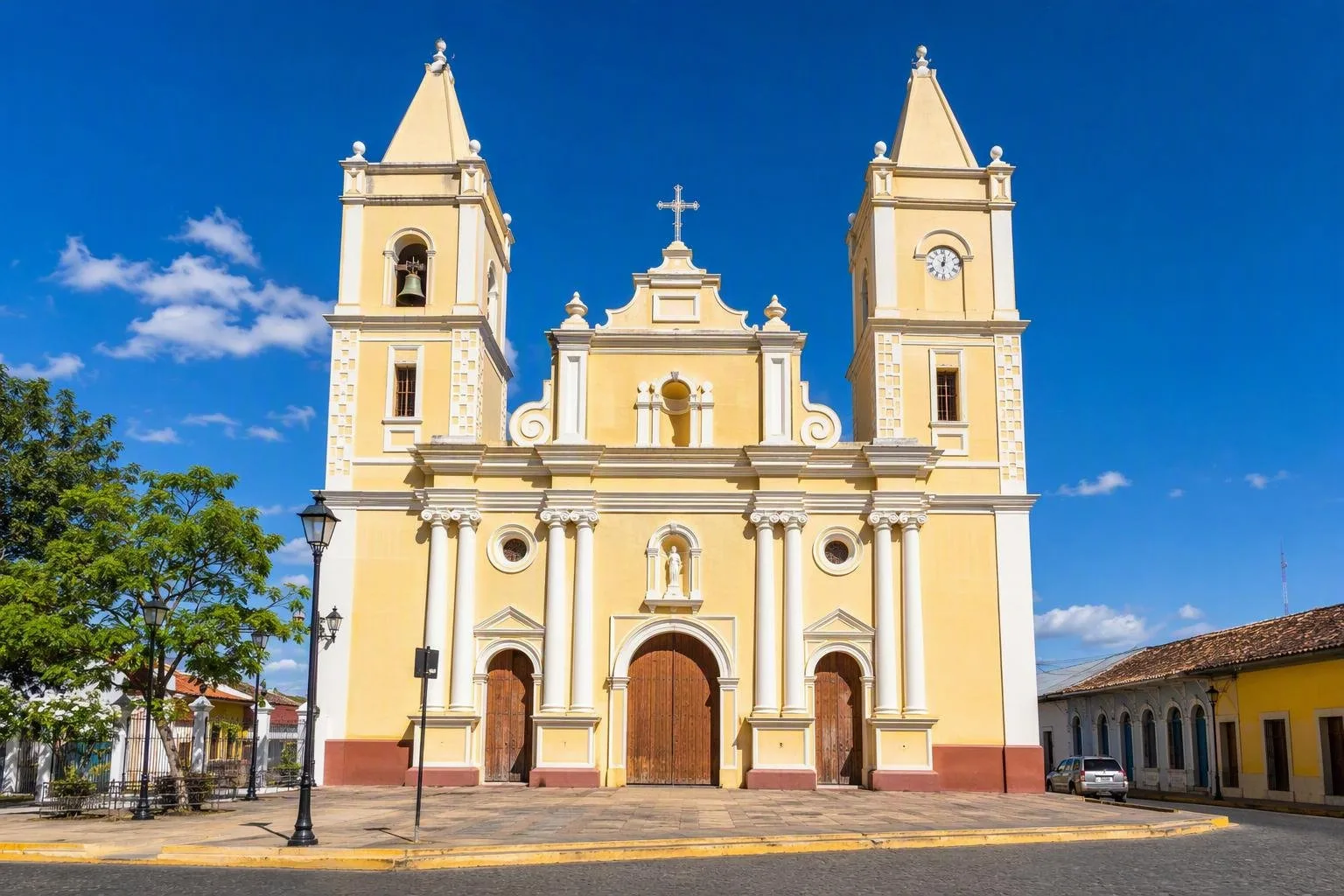
Iglesia Parroquial de San Pedro is Rivas’s clearest landmark and the best first stop. The church is a late-colonial Baroque building; its earlier structure was destroyed in the 1844 earthquake and rebuilt between 1855 and 1863. It is one of the heritage buildings specifically protected in the city.
Pause outside to read the façade and towers, then step inside only when the church is open and services are not under way. Dress appropriately for an active place of worship.
Streets, market and local pace
Walk from the church through the central streets and public spaces. This is a functioning departmental capital, not a resort: shops, food stalls, transport traffic and everyday errands set the rhythm.
Useful stops include:
- Parque Evaristo Carazo: a heritage-listed public space for a break in the centre.
- The municipal market area: practical for produce, everyday goods and inexpensive food.
- Historic façades: look for the protected Casa del Cabildo, old casino and surviving domestic buildings while walking the grid.
Carry small-denomination córdobas for modest purchases. The market and transport area can be busy, so keep bags close and avoid blocking narrow walkways.
Connections and timing
Rivas sits on the main north–south road corridor linking Managua and the Costa Rican border. It also provides road access toward San Jorge, the lake port for Ometepe, and toward San Juan del Sur. These are separate destinations, so allow time for the transfer rather than treating the city centre as a ferry terminal.
The climate is tropical savanna: January to April is the drier stretch, while May to October is wetter. Walk early or later in the day, take water, and plan for strong sun year-round.
From the magazine
Stories about Rivas
Editorial stories linked directly to Rivas.
No stories about Rivas have been published yet.
Routes from our editors
Travel through Rivas
Editorial routes connecting Rivas with other countries, cities and hotspots.
No routes through Rivas have been published yet.
More in Nicaragua
Related hotspots
Other cities, nature areas and places within Nicaragua.
Managua
4 linked stories and routes
Mercado Roberto Huembes
2 linked stories and routes
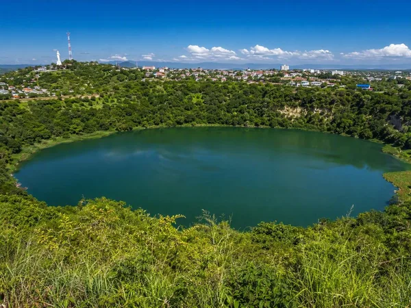
Laguna de Tiscapa
1 linked stories and routes
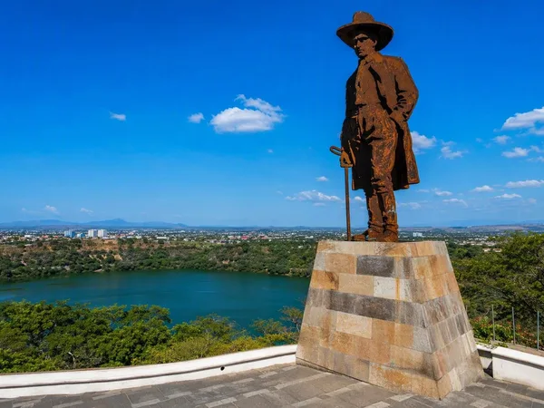
Loma de Tiscapa
1 linked stories and routes
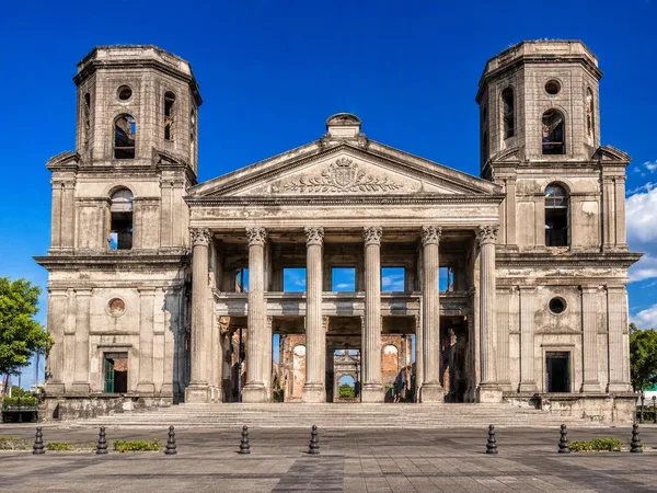
Catedral Metropolitana de Santiago Apóstol
1 linked stories and routes
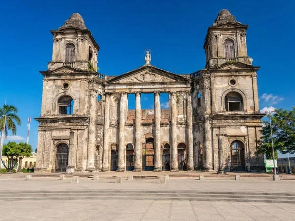
Plaza de la Revolución
1 linked stories and routes
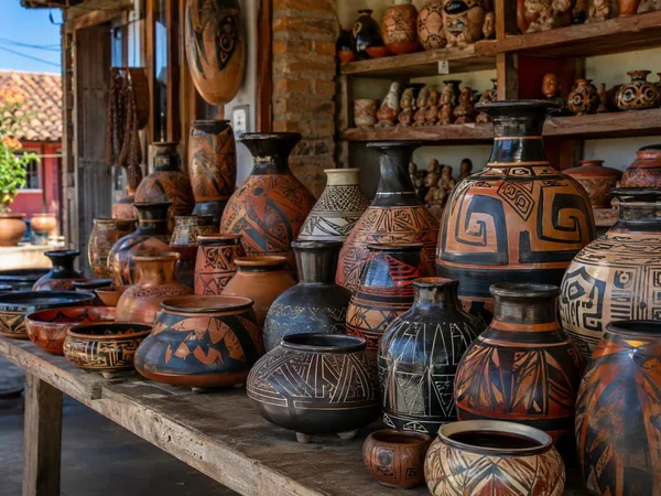
San Juan de Oriente
1 linked stories and routes
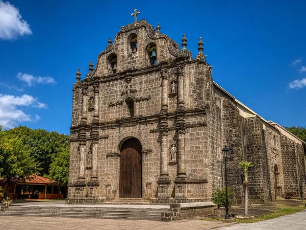
Diriomo
1 linked stories and routes
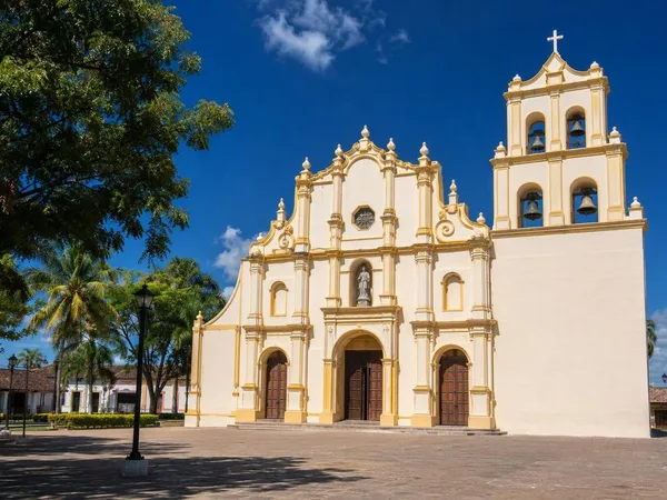
Niquinohomo
1 linked stories and routes
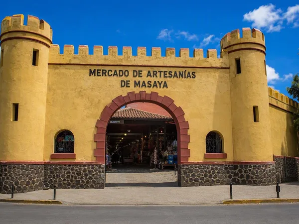
Masaya
1 linked stories and routes
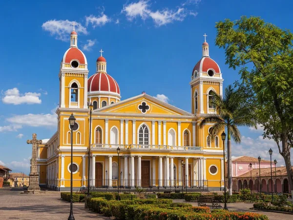
Granada, Nicaragua
1 linked stories and routes
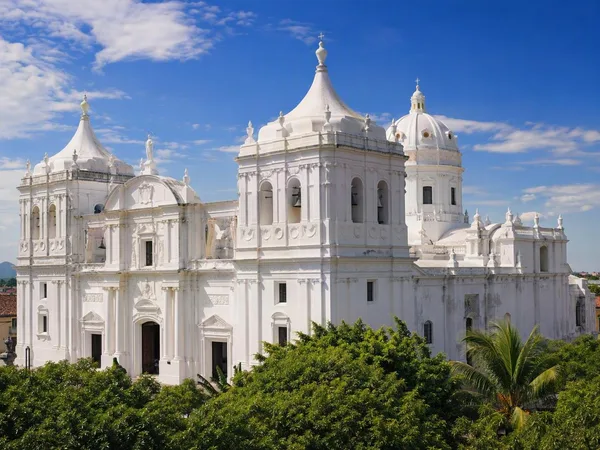
León, Nicaragua
1 linked stories and routes