
City · Nicaragua
Managua
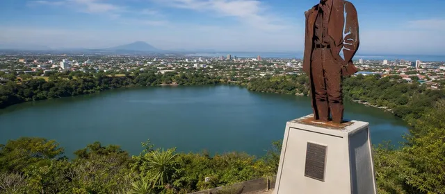
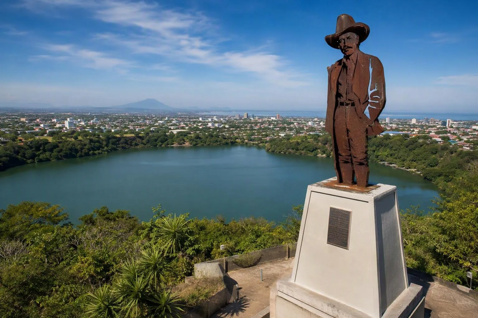
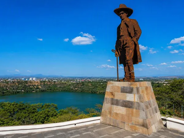
Managua, Nicaragua’s capital, spreads along the southern shore of Lake Xolotlán. Its clearest introduction is the central Tiscapa crater lagoon, where a hilltop viewpoint puts the city’s volcanic setting and earthquake-shaped layout in one frame.
Get oriented
Managua is not a compact colonial capital with one continuous historic core. It is a broad, low-rise city on Lake Xolotlán’s southern shore, with districts, major roads and open plots spread across the plain. The 1972 earthquake severely damaged the centre and accelerated outward growth; approach the city as a series of distinct stops rather than a place to cover on foot in one sweep.
Use the lake as your bearing. Lake Xolotlán lies north; the Sierras de Managua rise to the south. Tiscapa sits centrally, about two kilometres south of the lakeshore, and makes a useful first viewpoint.
Start at Loma de Tiscapa
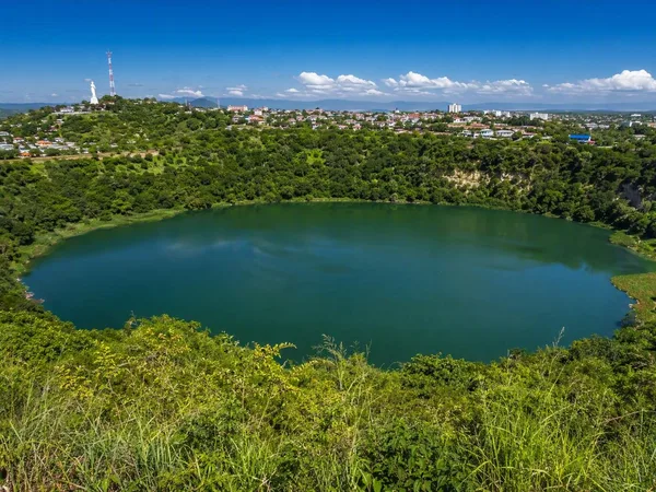
The Reserva Natural Laguna de Tiscapa is the defining urban landscape: a water-filled volcanic crater enclosed by steep, green slopes. From Loma de Tiscapa, look down into the lagoon, then north across the low city toward Lake Xolotlán. In clear conditions, volcanoes appear beyond the city.
At the summit stands the large steel silhouette of Augusto C. Sandino. It is both a city landmark and the most direct visual marker for the viewpoint. Walk the rim paths for changing angles on the crater rather than treating the site as a single photo stop.
The lagoon is an actively managed protected water body, not a swimming spot. Keep to established paths and treat the slopes and water as a reserve rather than a recreation lake.
The historic centre and civic landmarks
North of Tiscapa, build a short circuit around the older civic area:
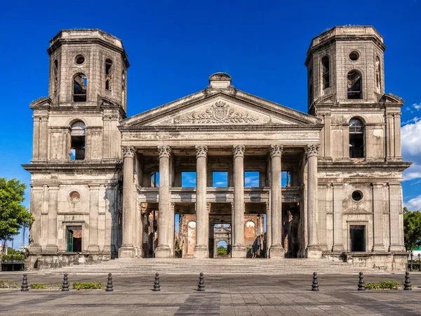
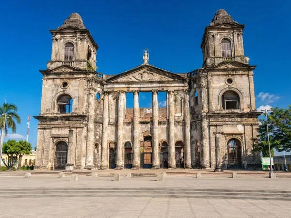
- Old Cathedral of Managua: the city’s historic cathedral, visually marked by the effects of time and earthquakes.
- Plaza de la Revolución: the setting for the cathedral and key national buildings.
- National Palace of Culture: a major cultural landmark beside the square.
- Rubén Darío National Theatre: Managua’s principal venue for theatre, dance and music.
These sites work best as separate calls along a road route. The gaps between them are part of understanding Managua’s post-earthquake form.
Lakefront and everyday Managua
For the lake itself, head to Puerto Salvador Allende on Lake Xolotlán. The waterfront combines lake views with restaurants, bars and recreational areas; boat excursions also leave from here. The lake is central to Managua’s geography, but Tiscapa provides the stronger overview of how water, volcanic ground and city development meet.
Avenida de Bolívar a Chávez is another practical spine for linking central landmarks, food stops and the route toward the lakefront. Use it as a corridor, not as evidence of a single walkable downtown.
Read the city through its geology
Managua lies in an active volcanic and seismic zone. The 23 December 1972 earthquake caused severe destruction in the capital; surface faulting and ground movement reshaped the city centre as well as its buildings. Tiscapa’s crater is therefore more than scenery: from its rim, the scattered pattern of roads, neighbourhoods and civic sites is the physical result of a capital repeatedly rebuilt on unstable ground.
From the magazine
Stories about Managua
Editorial stories linked directly to Managua.
No stories about Managua have been published yet.
Routes from our editors
Travel through Managua
Editorial routes connecting Managua with other countries, cities and hotspots.
No routes through Managua have been published yet.
More in Nicaragua
Related hotspots
Other cities, nature areas and places within Nicaragua.
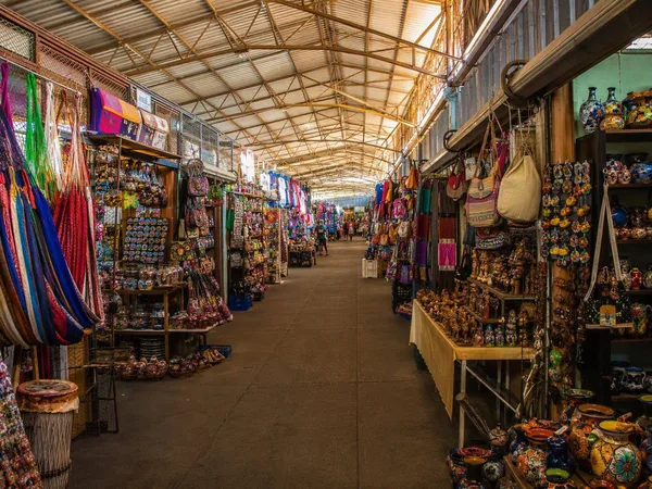
Mercado Roberto Huembes
2 linked stories and routes
Laguna de Tiscapa
1 linked stories and routes
Loma de Tiscapa
1 linked stories and routes
Catedral Metropolitana de Santiago Apóstol
1 linked stories and routes
Plaza de la Revolución
1 linked stories and routes
San Juan de Oriente
1 linked stories and routes
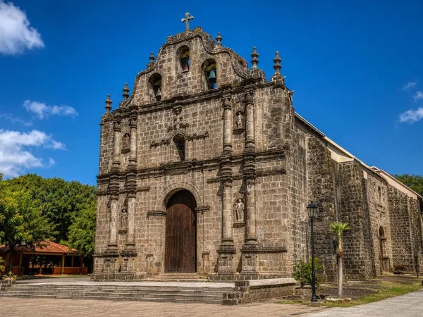
Diriomo
1 linked stories and routes
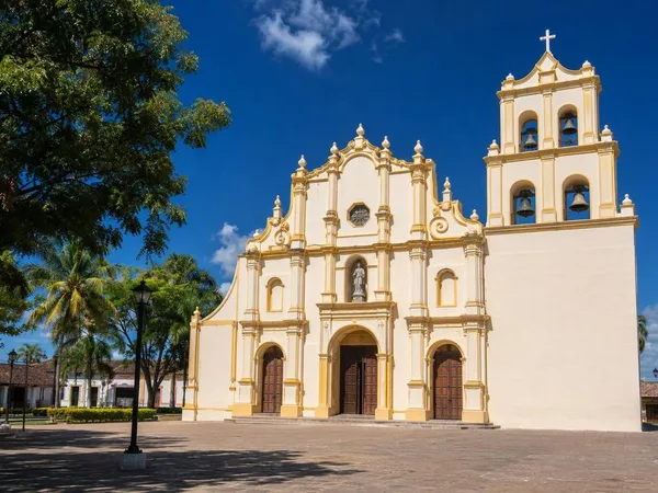
Niquinohomo
1 linked stories and routes
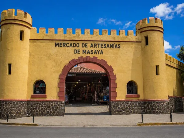
Masaya
1 linked stories and routes
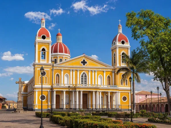
Granada, Nicaragua
1 linked stories and routes
Rivas
1 linked stories and routes
León, Nicaragua
1 linked stories and routes