
Sight · North Korea
Kim Il Sung Square
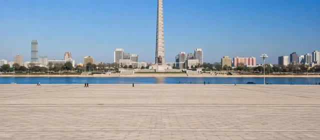
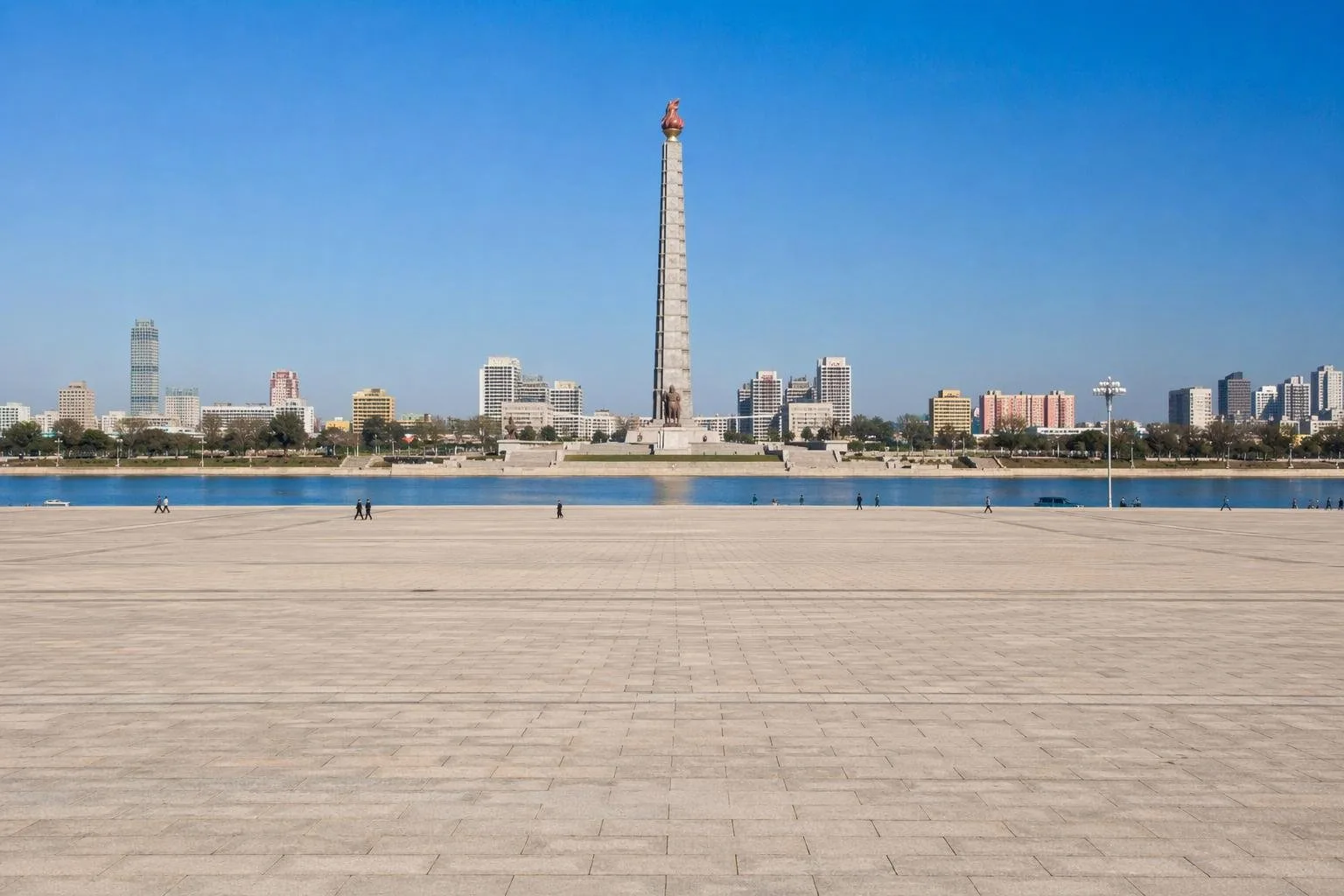
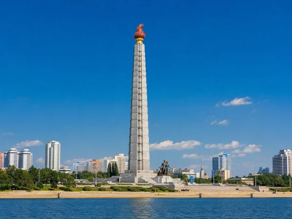
Kim Il Sung Square is Pyongyang’s principal ceremonial square, on the west bank of the Taedong River opposite the Juche Tower. Built during the city’s post-war reconstruction, it is the setting for major state gatherings and parades.
Read the setting
This is not a conventional urban square edged by cafés and shops. Kim Il Sung Square is a vast paved ceremonial ground in central Pyongyang, designed as part of the capital’s reconstruction after the Korean War. It occupies the west bank of the Taedong River, at the foot of Namsan Hill.
The key view runs straight over the water to the Juche Tower. That long alignment is deliberate: river, open paving, monumental buildings and greenery were composed as one civic axis. The square’s plan was first conceived in 1951 and repeatedly revised before reaching its present form in 1982.
What frames the square
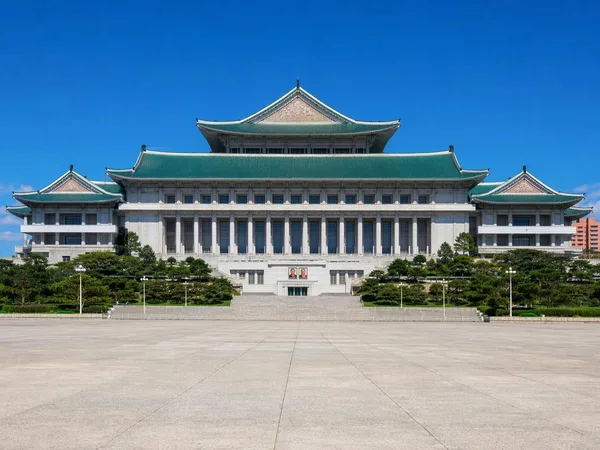
The Grand People’s Study House rises at the inland end, its green-tiled traditional-style roofs providing the most distinctive architectural counterpoint to the open paving. The Korean Central History Museum and Korean Art Gallery stand on the square’s perimeter, alongside state and party buildings.
Sungri Street passes through the space, dividing its broad paved sections. Look down at the ground: white position marks set out formations for organised events. The scale is the point. The square covers about 75,000 square metres and was made to receive very large official assemblies rather than to function as a park or a casual pedestrian plaza.
History and public role
The square opened in August 1954, soon after the armistice, within the rebuilding programme for a city devastated during the war. It is named for Kim Il Sung, North Korea’s founding leader.
Its principal role remains ceremonial. Military parades, rallies, mass dances and national celebrations have all been staged here. When no official event is under way, the architecture and river axis are the reason to stop: the site makes Pyongyang’s post-war monumental planning unusually legible.
Visiting conditions
Foreign visitors do not visit independently; access is arranged through an authorised, guided itinerary. The square can be closed, restricted or occupied by rehearsals and state events without public notice. Follow the instructions of the accompanying guides and do not assume that every edge, building or riverfront route is open.
Photography rules can also change by location and occasion. The most useful composition is the square’s open foreground with the Juche Tower across the river; a higher view from the Grand People’s Study House, when included in an itinerary, clarifies the full layout.
Nearby orientation
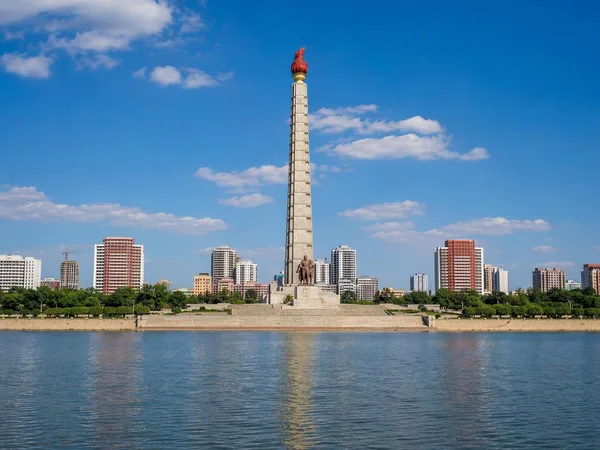
The Taedong is the square’s open eastern edge. Okryu Bridge carries road traffic across the river farther south, while the opposite bank has a riverside promenade beneath the Juche Tower. Keep those sites distinct: Kim Il Sung Square is the paved civic space on the west bank, not the tower or the river promenade.
Its position at the centre of the capital also gives it symbolic practical weight: it is regarded as North Korea’s kilometre-zero point for national road distances.
From the magazine
Stories about Kim Il Sung Square
Editorial stories linked directly to Kim Il Sung Square.
No stories about Kim Il Sung Square have been published yet.
Routes from our editors
Travel through Kim Il Sung Square
Editorial routes connecting Kim Il Sung Square with other countries, cities and hotspots.
No routes through Kim Il Sung Square have been published yet.
More in North Korea
Related hotspots
Other cities, nature areas and places within North Korea.
Pyongyang
2 linked stories and routes
Hamhung
1 linked stories and routes
Hamgyŏng
1 linked stories and routes
Juche Tower
1 linked stories and routes
Grand People’s Study House
1 linked stories and routes
Monument to the Founding of the Workers’ Party
1 linked stories and routes
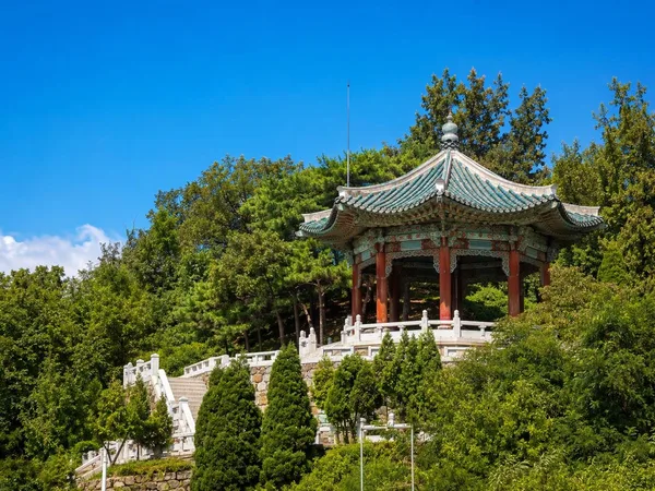
Moranbong
1 linked stories and routes